Major Snowstorms Forecast for California, the Western Alps and Japan
Mountainwatch | Reggae Elliss
A series of major early-season snowstorms is set to deliver substantial snowfall across three of the Northern Hemisphere’s major ski regions, with California’s Sierra Nevada, Europe’s Western Alps and Japan all looking at an impressive week of snow.
Mountainwatch’s latest seven-day forecast is predicting more than 1.5 metres for some Californian resorts, over a metre across parts of the European Alps and significant accumulations in Japan, including Hakuba and several resorts further north.
For skiers and snowboarders waiting for winter to properly get underway, the forecast is an encouraging sign, with the potential for a substantial early-season base to develop across many major ski destinations.
California and North America
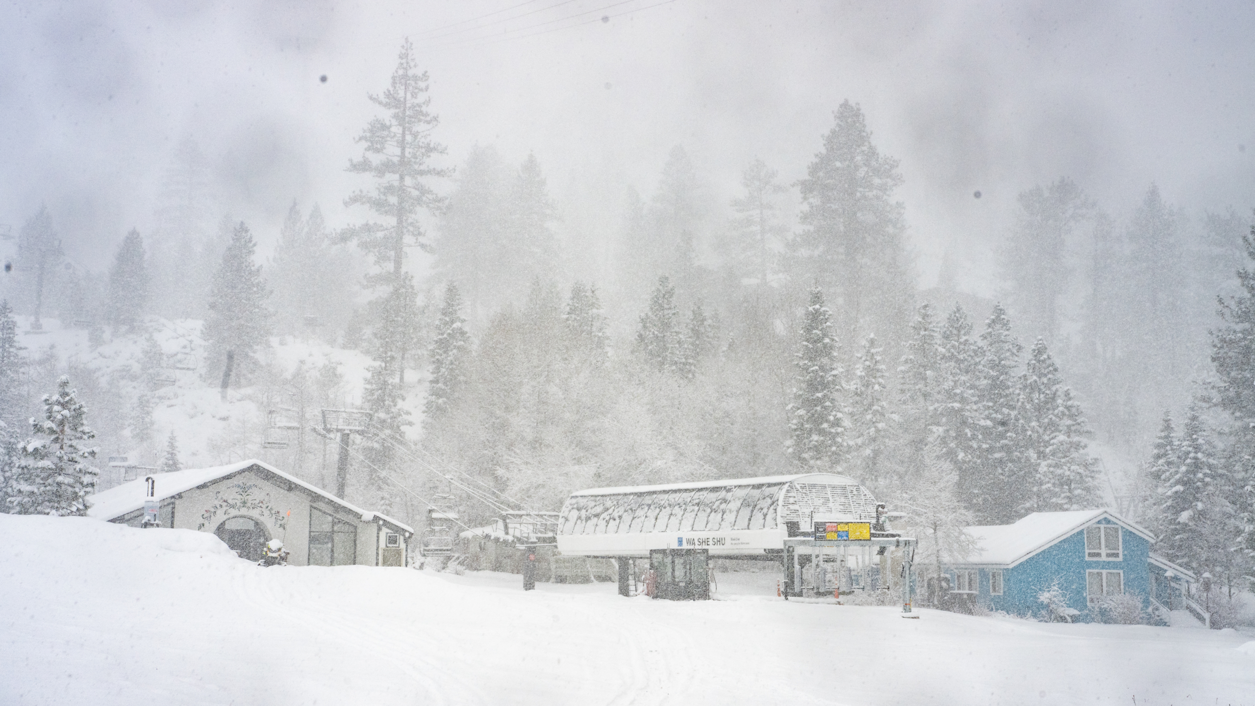
California’s Sierra Nevada is shaping up for one of the biggest early-season snowfalls in recent years, with a powerful Pacific storm bringing heavy snow to the region. The storm has already impacted roads, the I80 freeway closed between Sacramento and Reno this morning.
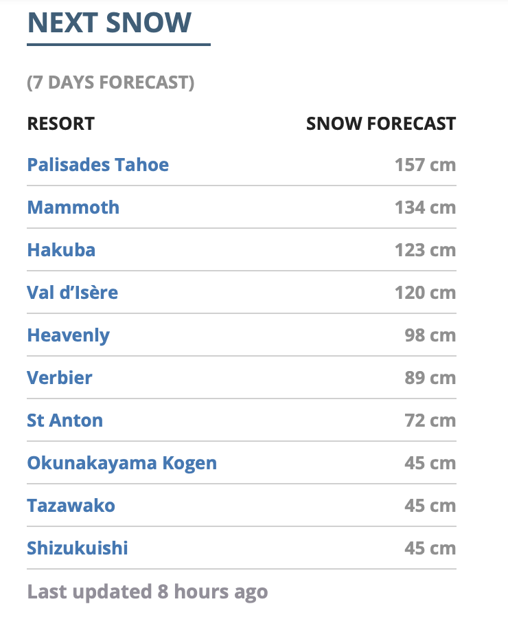
Our seven-day forecast has Palisades Tahoe leading the way with 157cm of expected snowfall, followed by Mammoth Mountain with 134cm. Heavenly is also looking at significant snow totals with 98cm forecast.
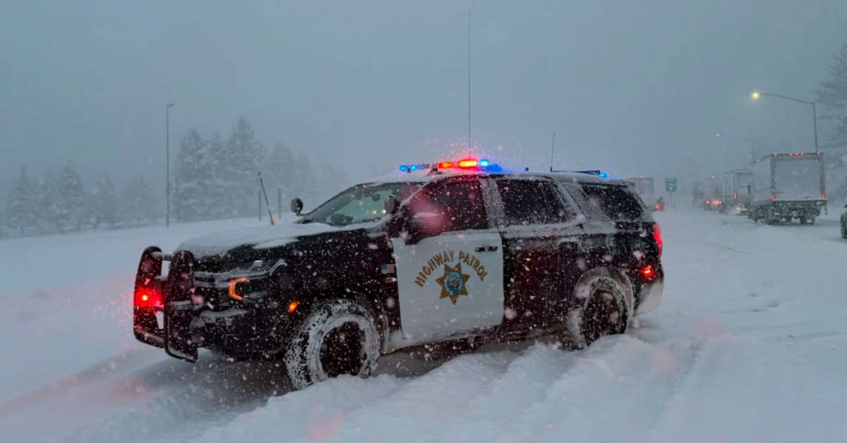
The storm activity is not restricted to California, although the heaviest accumulations are expected across the Sierra Nevada. Other parts of the western United States are also forecast to receive snow as the Pacific weather systems move inland.
The storm activity won’t be restricted to California. Utah’s Wasatch Mountains, including Alta and Snowbird, are also expected to receive substantial snowfall, with the National Weather Service forecasting additional accumulations exceeding 45cm in parts of the region. Further north, the Wasatch and western Wyoming mountains could see totals approaching 60cm or more at the highest elevations.
Jackson Hole, Steamboat and southern Idaho are also expected to benefit, while a weaker, colder system is forecast to bring further snow to the Cascades and Northern Rockies over the weekend.
Unfortunately, all of the action seems to be focused south of the border, and resorts in British Columbia and Alberta are expected to receive little or no snow over the next 10 days.
Japan – Hakuba and beyond
Japan is also looking towards a significant early-season change, with a cold outbreak forecast to bring several days of snowfall to the Japanese Alps and parts of northern Japan.
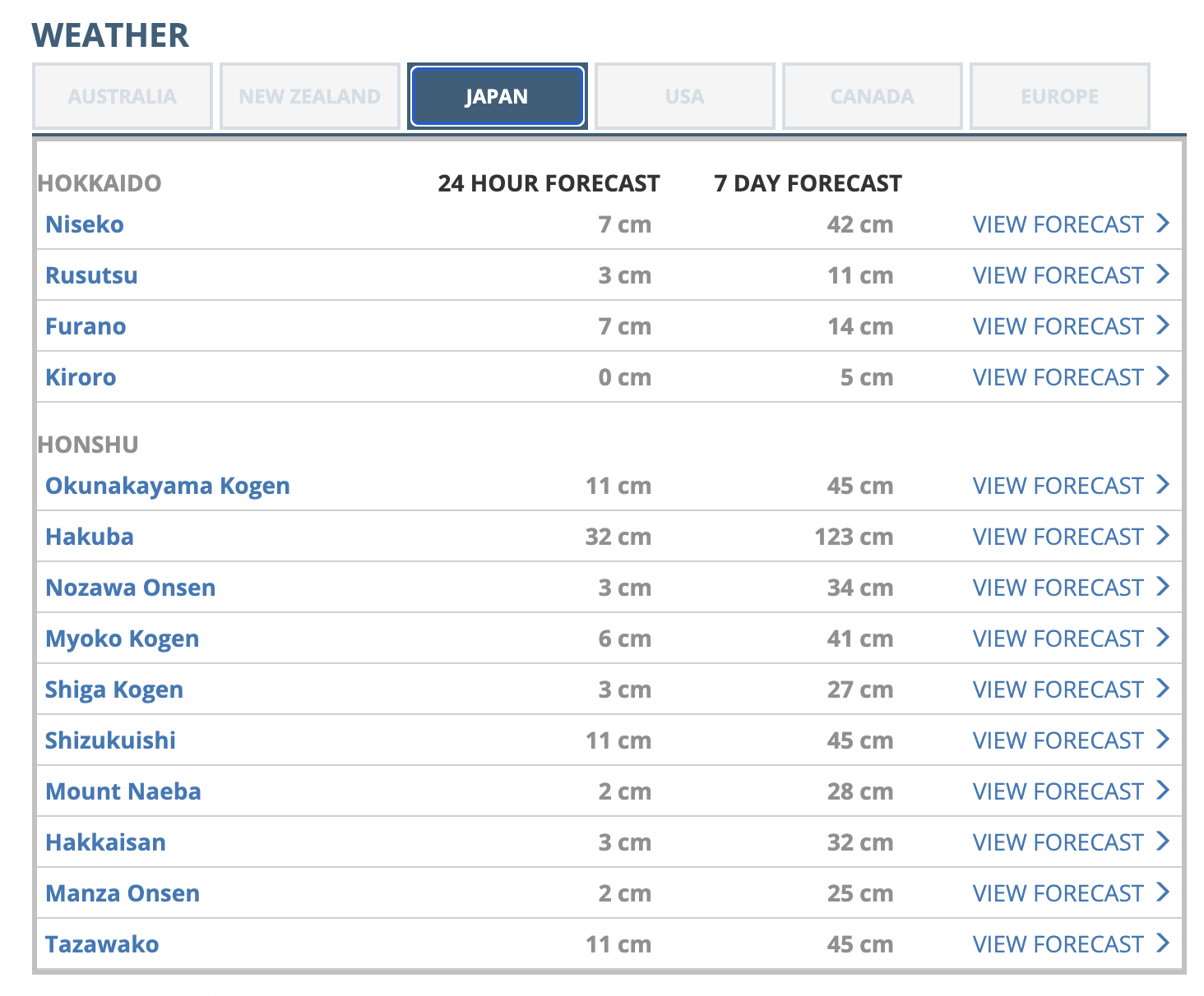
The seven-day forecast for Hakuba is looking good, with 123cm of fresh snow predicted, most of that falling over the next three days. It started snowing consistently on the upper slopes in Hakuba this morning, the snow levels expected to drop as the day progresses.
This is great timing with Goyru set to be the first Hakuba Valley resort to open, the first lifts set to spin Saturday. Other Central Honshu resorts will also se some decent totals, Myoko is in line for 45cms while Nozawa Onsen should receive 30+cms.
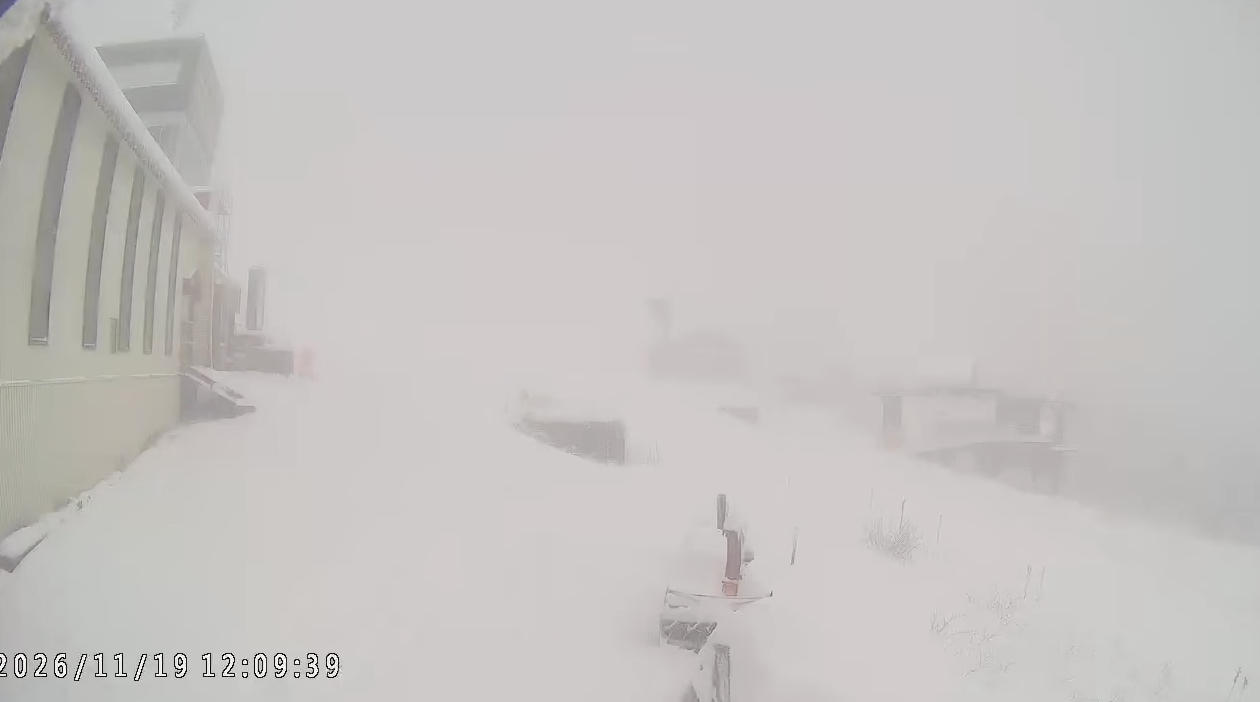
Further north, Geto Kogen in Iwate is also in the firing line for around 74cm, Okunakayama Kogen, Tazawako and Shizukuishi are all forecast to receive approximately 45cm.
The snowfall should provide a welcome boost to early-season coverage, particularly across the higher elevations of the Japanese Alps. The colder air moving into the region should also help lower snow levels, although temperatures and the rain-snow line will remain important factors at lower elevations.
While the forecast for Hokkaido is not as strong, the snow totals are favouring the west of the island, Niseko should pick up 40+cms while in central regions, 12cms is expected for Furano.
Check out our Japan forecasts here.
Western Alps, Europe
In Europe, the Western Alps are also preparing for a major early-season snowfall event, with the French Alps, Switzerland and Austria all expected to big snow totals.
Mountainwatch’s seven-day forecast has Val d’Isère in France leading the European resorts with 120cm forecast. Verbier in Switzerland is looking at 89cm, while St Anton in Austria could receive around 72cm.
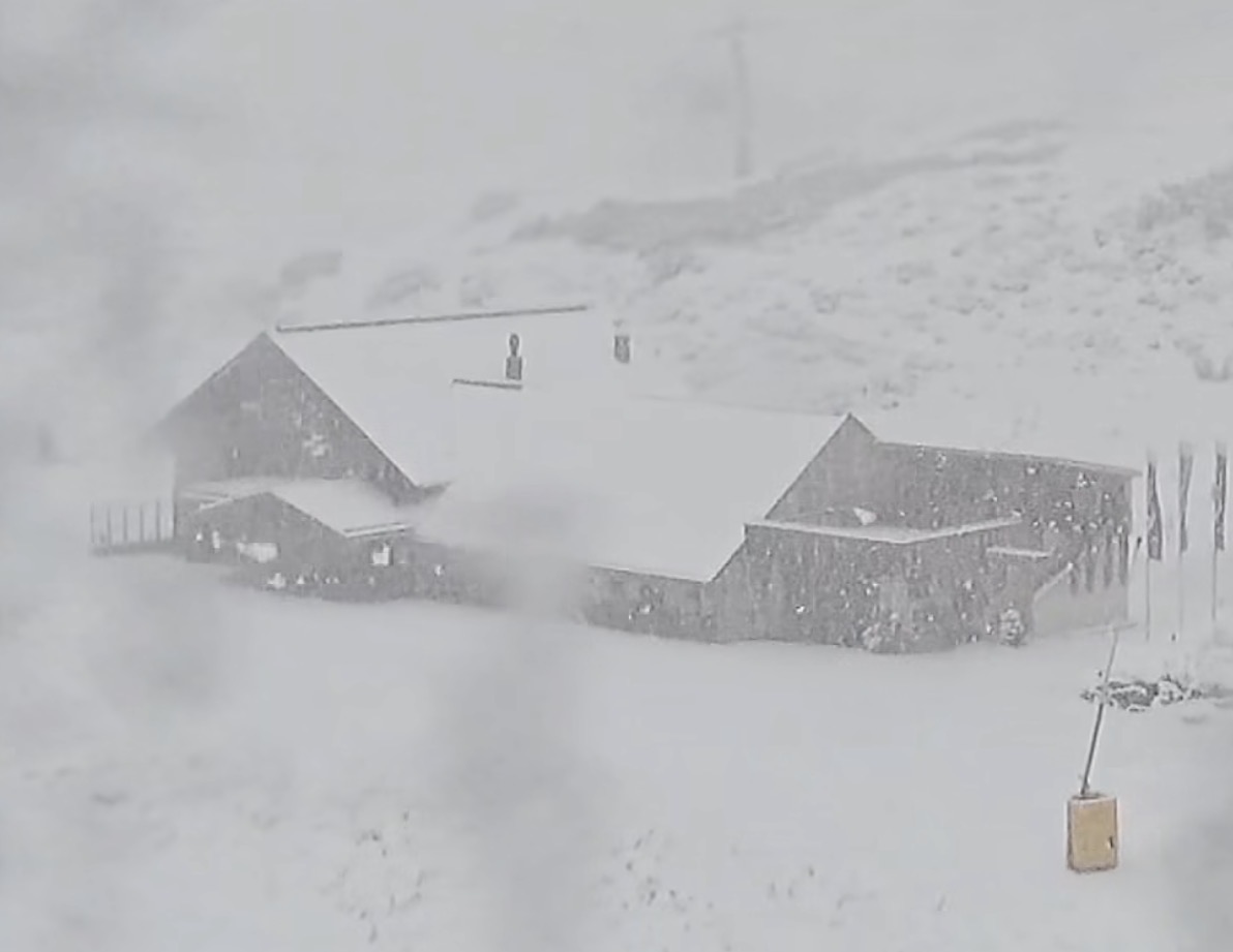
These are substantial early-season accumulations, particularly for the higher-altitude resorts, where colder temperatures should allow more of the incoming precipitation to fall as snow.
The forecast is particularly encouraging for resorts preparing to open for the 2026/27 winter season. However, snow levels and temperatures will be important, with lower elevations potentially seeing rain rather than snow during the warmer phases of the storm.
A promising start to winter
With California, the Western Alps and Japan all looking at significant early-season snowfall, the Northern Hemisphere winter is showing plenty of promise.
Mountainwatch’s seven-day forecast highlights the potential for widespread improvements to early-season coverage, with Palisades Tahoe, Mammoth and Hakuba among the standout destinations.
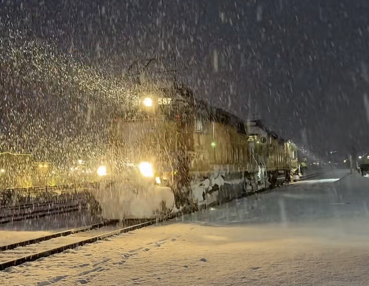
Forecasts will inevitably change as the storm systems develop, but the coming week looks set to deliver a significant early season boost to snow coverage across some of the world’s best-known ski destinations as they prepare for season openings.
The Grasshopper will be in early December with his weekly Japan and North America forecasts. In the mean time stay up to date with the northern hemisphere weather through our automated forecasts, updated twice daily: