2019 Season Review – After A Slow Start It Was A Good Winter With A Few Standout Days
Mountainwatch | Reggae Elliss
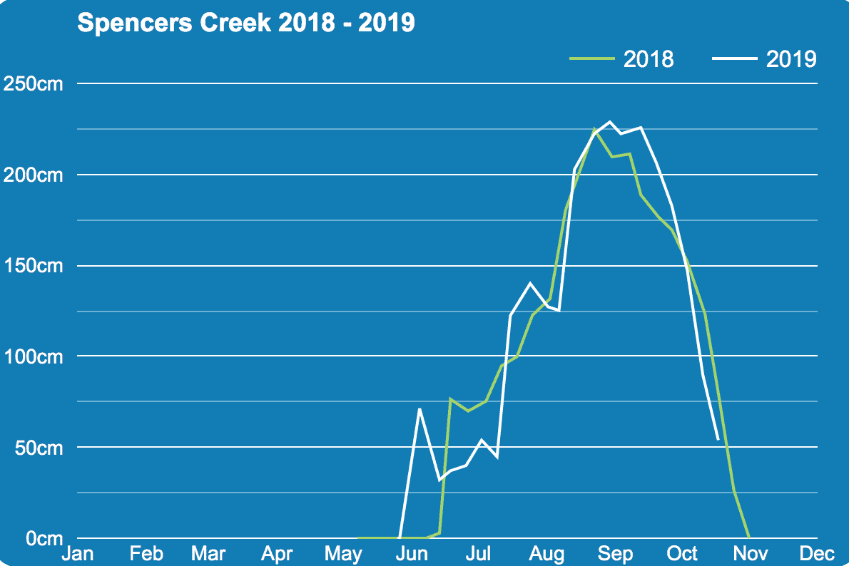
The 2019 season finally wrapped up when the last lifts closed in Perisher a few days ago on October 13. It was a long season with Perisher, Buller and Selwyn opening a week early on May 31, after good snowfalls dropped 30-50 cms of cold dry snow across the mountains from May 25-29. On paper the stats paint a picture of a good season with resorts open for 119 days and a peak snow depth reading by Snowy Hydro at Spencers Creek on August 27 of 228.8cms, 33cms up on the average of 195cms. But it did have its ups and downs.
After the early start, we hit a dry spell with minimal natural snow during the first six weeks of winter. However when the first storm finally came through it was a good one, dropping 40-100cms of snow between July 11-15 with a couple of excellent powder days during that period. This set things up for what turned out to be a decent season with a consistent snow cover punctuated by a some really good days during the peak winter period from mid-July to mid-September.
The opening weekend came in with a lot of hype after the late May snowfalls were backed up by a run of good snowmaking conditions and all resorts had the most terrain and lifts open for the June long weekend in years. The skiing on the Saturday and Sunday was very good with a cover of dry, packed snow on the open runs and plenty of people to enjoy it.
Unfortunately that changed pretty quickly with heavy rain on Monday June 10, the Grasshopper’s forecast for that day laying it out graphically: “A clagged-in, grotty day with rain or drizzle. N-NW winds are blowing like crazy and there’ll be heavy falls as the front passes over later this morning/early afternoon.”
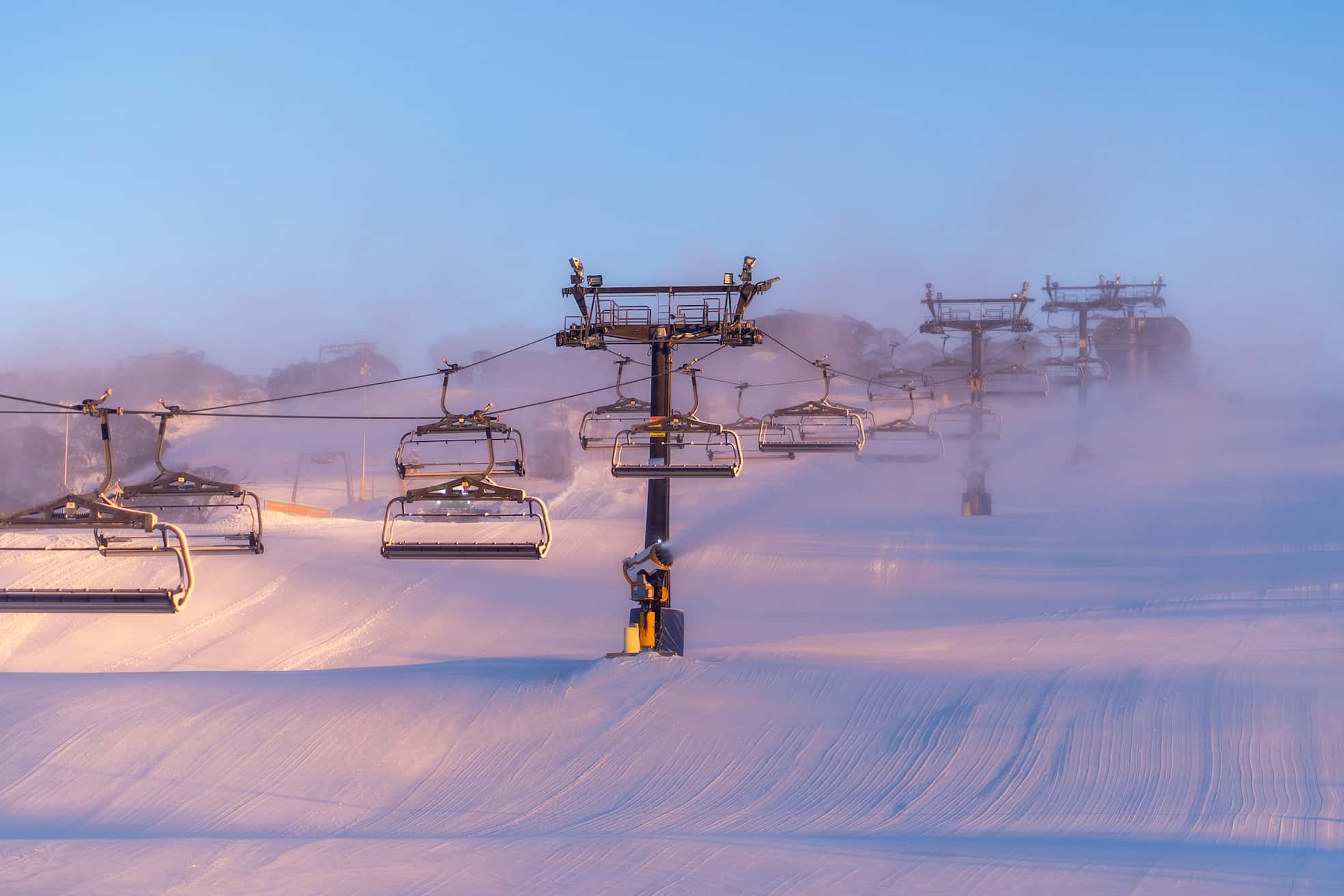
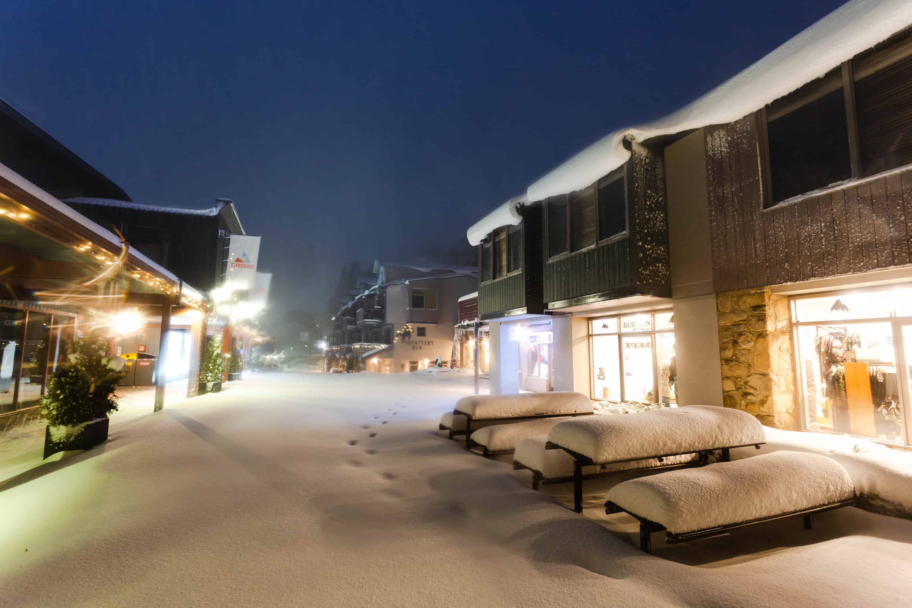
It was indeed a grotty day and as the 90cms of snow that fell in late May had fallen on warm ground, the early season snow pack was fragile, and it took a big hit with 40cms of snow washed away that day, the snow depth reading at Spencer’s Creek sitting at just 32.1cms on June 13. The wash out resulted in most resorts returning to scratch with minimal terrain open on a limited man-made cover, but the cold nights in mid-June allowed the snowmakers to start the repair job.
The week of June 15-22 was particularly cold with day time maximums below zero and the snowmakers took full advantage of it, the guns going around the clock with Perisher locking in 90 hours of continuous snowmaking by the morning of June 22. That was exactly what was needed, allowing the resorts to open more runs as other than a few snow showers around the 21st, June was a dry month until a small storm dropped 10- 15cms on June 30.
By this stage the Victorian school holidays were in full swing and while the 15cms of snow was welcome it wasn’t the big storm we needed. The first week of July was settled and sunny while the weekend of July 6-7 saw some snow around the peaks and drizzle down low. It had been six weeks since the May snow fall, and the early season optimism was now a distant memory. However, the Grasshopper provided some hope in his forecast on July 7 with a cold front due later in the week that was likely to be “the storm we have been waiting for.”
The cold front hit late Wednesday and the snow started falling in the early hours on Thursday July 11 with 20-30cms of snow by Friday morning. Unfortunately, the temps rose during the day and it was pretty ugly with rain and strong northwest winds before the next cold front hit on Friday night with more good falls throughout Saturday and into Sunday.
While strong winds cause wind-hold at times on the weekend the 7-day totals after the system cleared were pretty healthy, Perisher reporting 106cms, Thredbo 85cms, Hotham 71cms, Falls 69cms and Buller 40cm.
The result was more lifts and terrain open, including off piste, and it was nice to finally get into new terrain after a month of only groomed runs. Cold temps not only ensured good snowmaking conditions, but also maintained a quality dry snow pack and the cold WNW winds blew in some nice dry snow, filling in the “nooks and crannies”.
While there were no more big storms in July there were a couple of top ups with 5-10cms on July 17 and 10-15cms on the 23rd. By the end of July, Snowy Hydro’s snow depth reading at Spencer’s Creek had jumped from 53.9cms on July 2 to 125cms by the end of the month and it was close to 100% of lifts and terrain open – not too bad considering the lack of snow for the first six weeks of the winter.
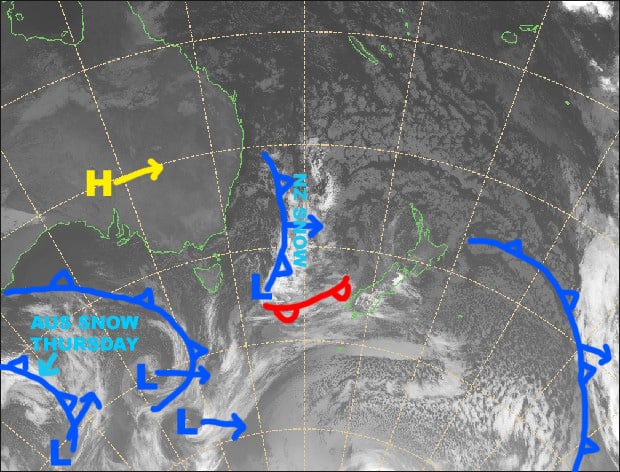
In his Australian Season update on August 1 the Grasshopper was talking about the Southern Annular Mode staying in the negative values and “bringing that belt of cold stormy westerlies” and a good storm was on the way: “It’s too early to start throwing figures around, but it could be a real humdinger, one of the big snowfalls of the season.”
As the sytem approached it grew stronger, The Grasshopper reporting that it had the potential to deliver a lot of snow in a three-to-four day period as there were a series of cold fronts embedded in the big low-pressure system. The snow totals were looking very good, the Grasshopper was calling 40-70cms with a good chance of one metre at upper elevations.
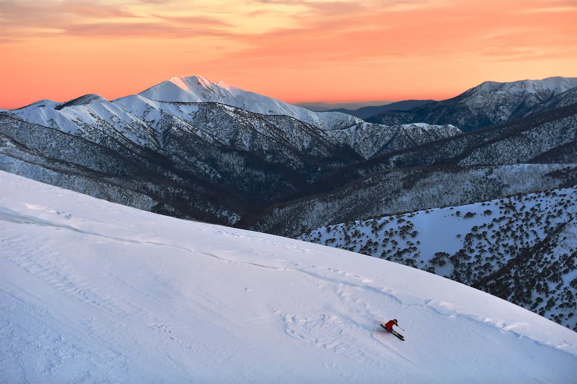
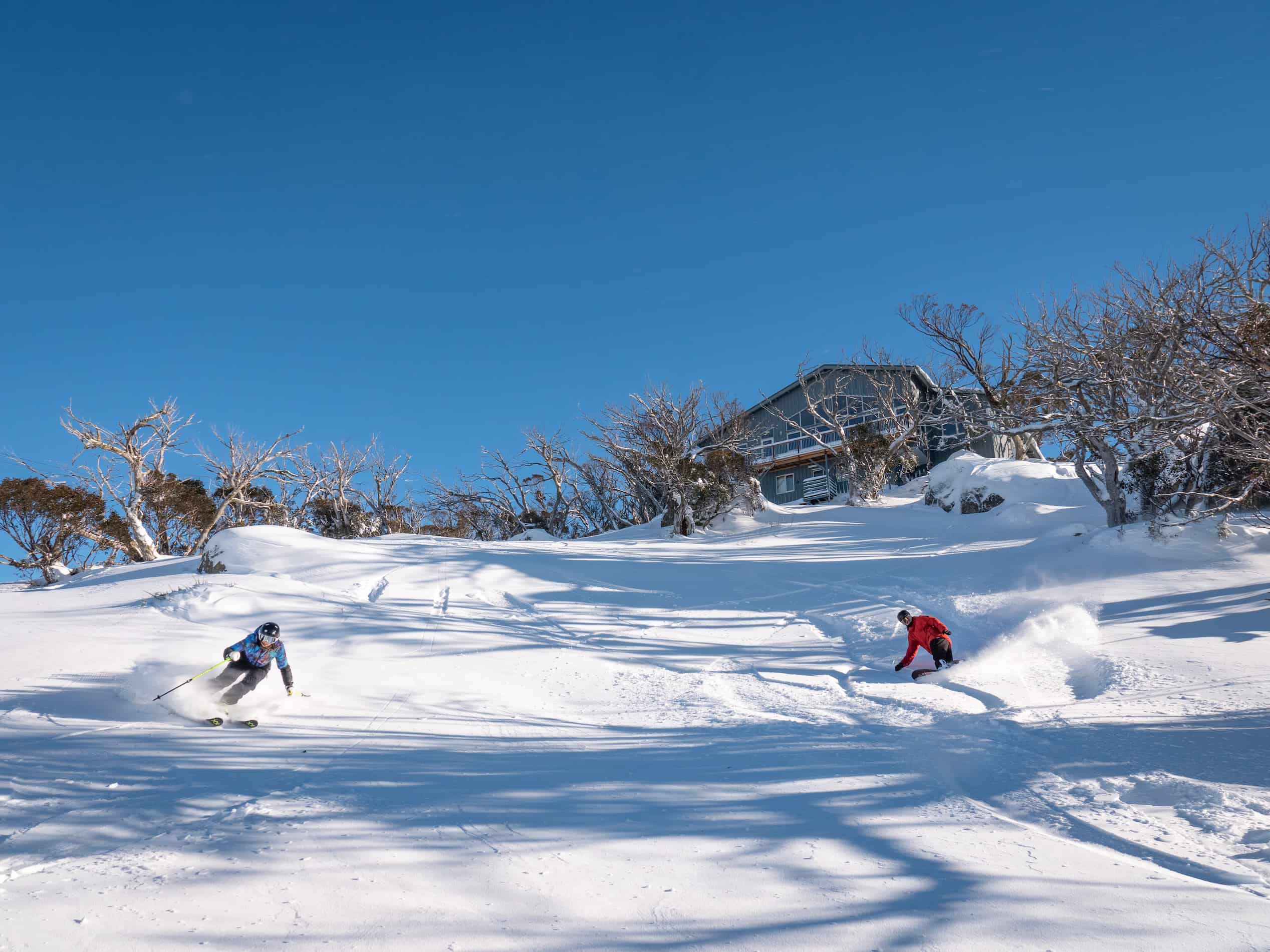
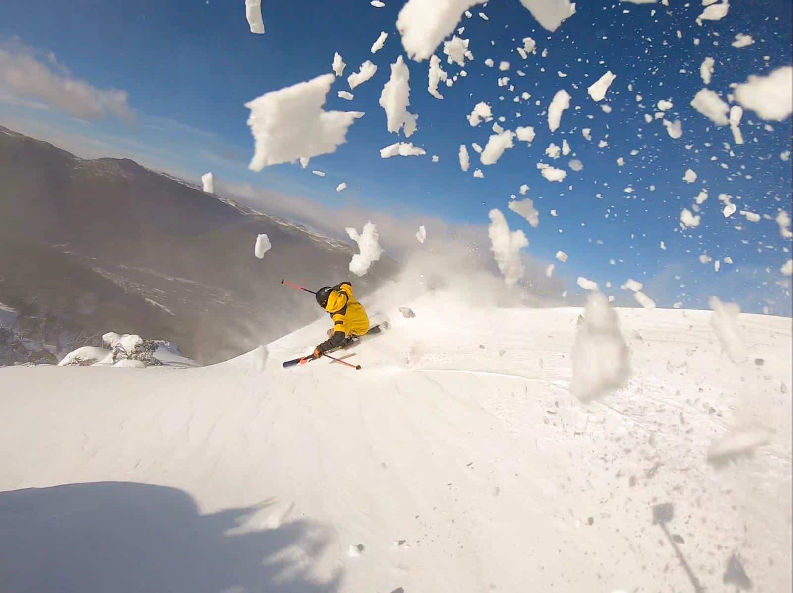
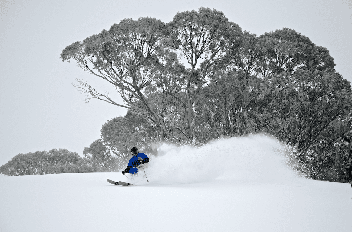
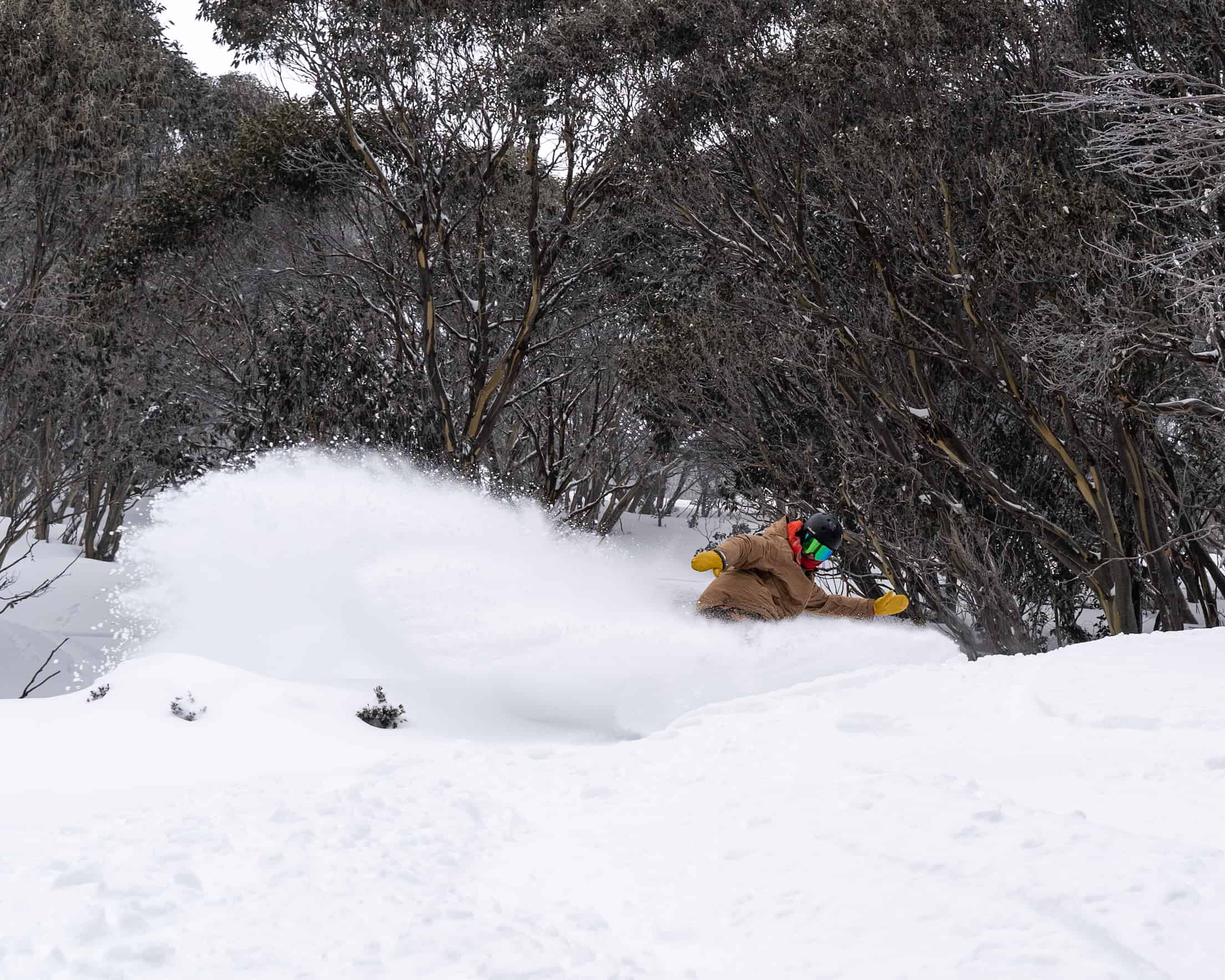
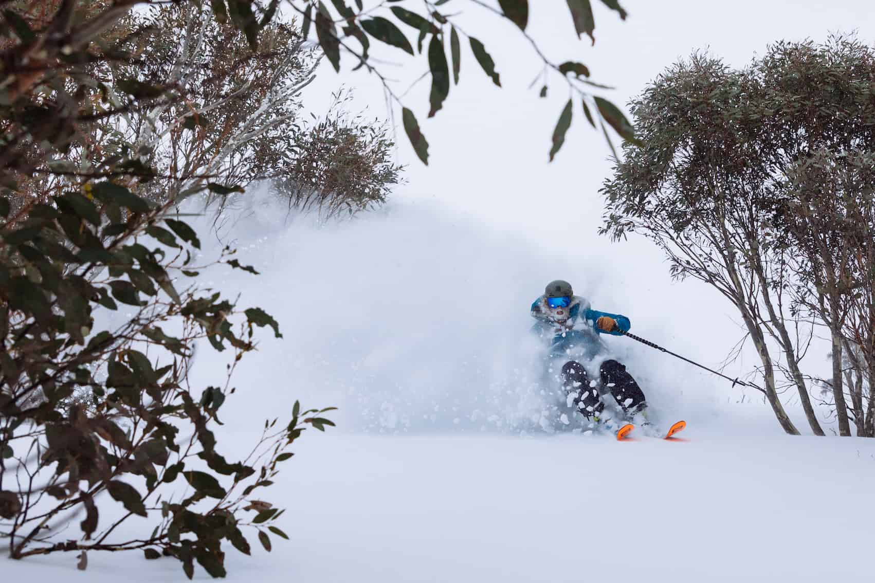
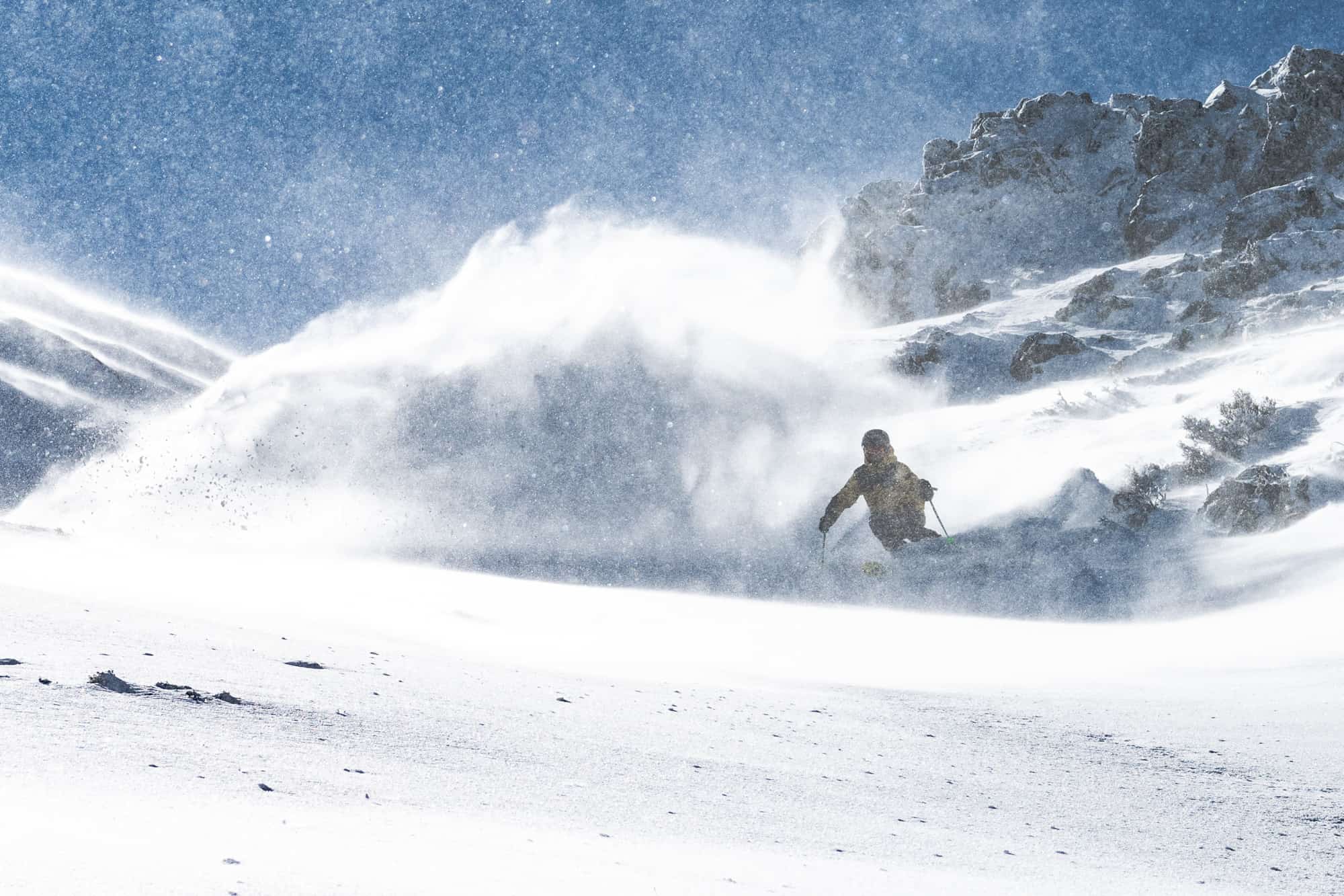
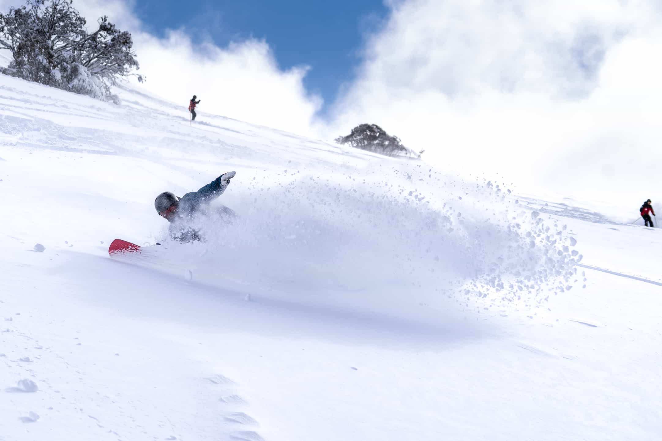
As it turned out it was not only the biggest storm of the year, but one of the best of the past five years with up between 70 and 140cms falling from August 7-12. The NSW resorts scored the top end of the snow totals with the biggest dump happening overnight on August 8-9 with 25cms at 1300 metres and 70cms above 1800 metres, the biggest overnight snowfall in the since 2016.
Strong winds on Friday 9thcaused wind-hold in most resorts, but the weekend was awesome with good overnight falls of 10-20cms on both Friday and Saturday night adding to the big Thursday night totals, the very cold temps turning on the best snow of the year and there plenty of calls of “as good as it gets”. The snow stayed cold and dry all weekend the freezing westerly winds blowing in a lot of snow ensuring re-fills and some deeper turns in the creek lines and gullies. There was some debate about whether the Saturday or Sunday were the best, Perisher calling Sunday the day of the decade, but here in Thredbo I thought Saturday was marginally better.
Bill Barker, our Hotham snow reporter was also splitting hairs on which day was best, writing on Sunday, August 11: “I thought yesterday was about as good as it gets for the combination of awesome snow and relatively user-friendly weather, but I reckon today is better. We have had 13cm of cold snow in the past 24 hours with more than half of it coming overnight.” In the end, it that five-day period was the best of the year and up there with anything we’ve had over the past few winters.
The following week was very good with dry, cold snow and mainly fine conditions before the next front hit on Sunday August 18, with resorts reporting 15-20cms by Monday morning. The system hung around with a southerly airflow delivering snow on most days and by the time it cleared on Thursday June 22 there was a total of 30-50cms over that four-day period.
However, it was a bit of crappy weak with strong winds and upper lifts on wind-hold at times in most resorts for two or three days. The temps also fluctuated and there was some drizzle down low and wet snow up high on Wednesday night before a pre-dawn snap freeze left very firm conditions on the lower slopes and it was variable off piste with icy, wind-scoured areas. The snow stayed firm for the rest of August before a weak system dropped 5-10cms on August 28/29, which took the snow depth reading to the season high of 228.8cms.
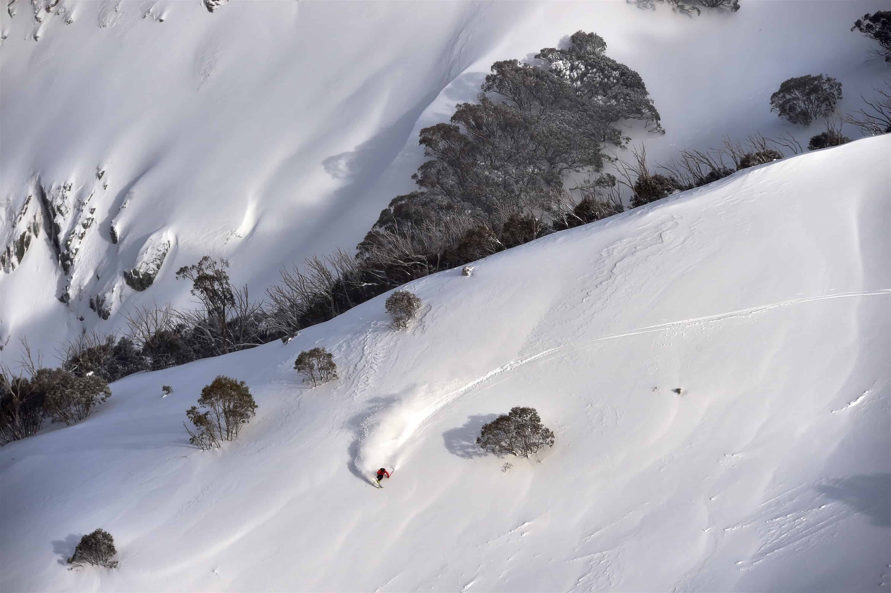
The third and final storm of the season crossed the mountains on the weekend of September 7-8, dropping another 30cms and with the temps at -4 the snow quality was excellent. Another good weekend of fresh turns and dry snow. That storm set up a good couple of weeks of classic spring skiing with sunny days and cold nights, the sub-zero temps putting a good freeze into the cover before it softened each day.
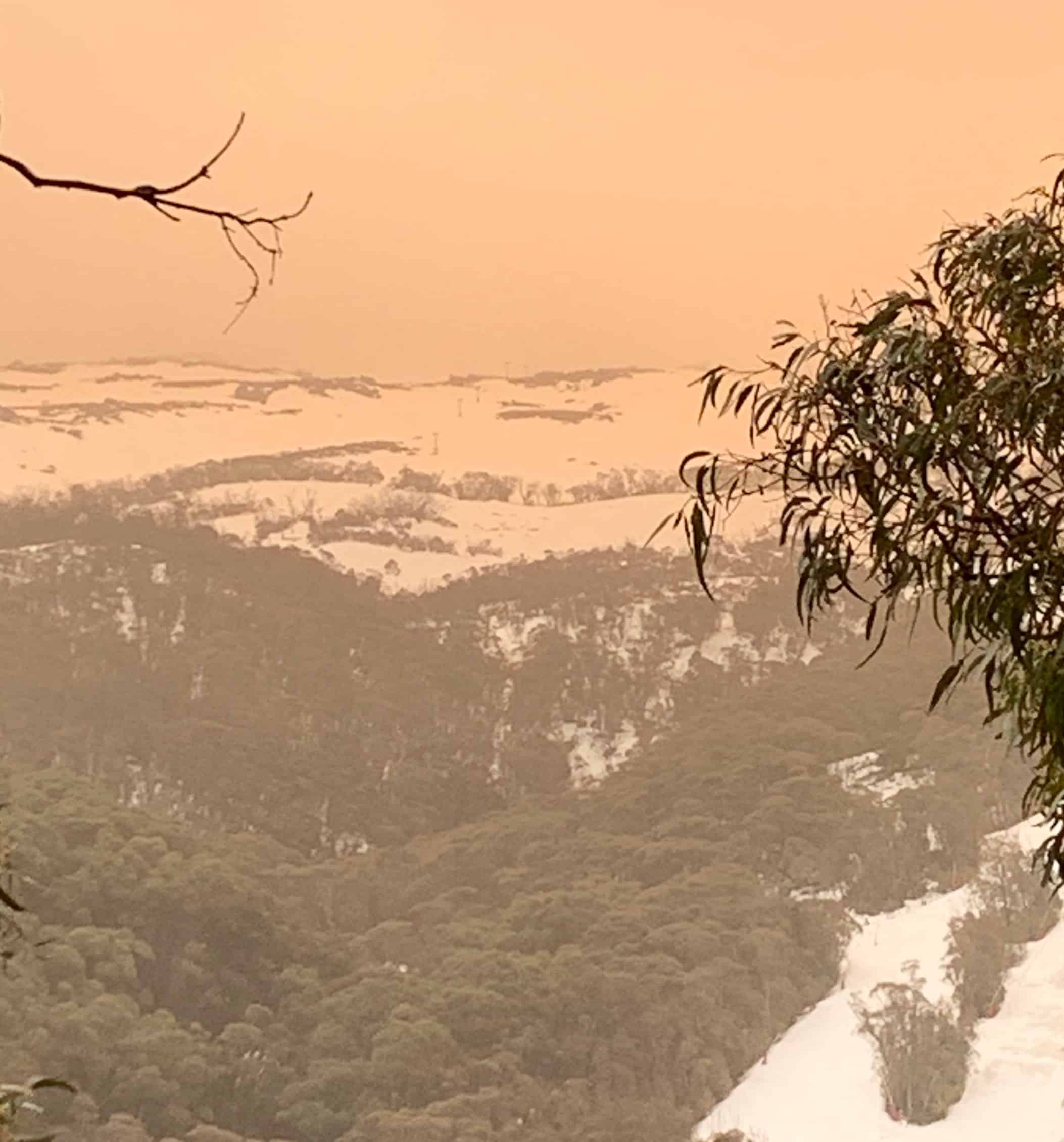
Another system hit on Sept 21, but it was warm, +6 at dawn with a hairdryer north-westerly and by the end of the day the mountain had copped 40mm of rain. That rain did some damage and a dust storm that came through that afternoon accelerated the snow melt. While there was some good spring snow in the last week of September thanks to cold overnight temps, the day time temps were warm, and the snow was melting quickly and had dropped 25cms by September 26 when the Spencers Creek snowed depth was 182cms.
The weather warmed up in the first week of October with overnight lows as high as +7 degrees. I skied every day that week and it looked like we were losing 25cms every day and the Spencers Creek snow depth was down to 89cms when lifts closed in Perisher on October 13.
Overall this winter will be remembered as a good one, despite the slow start and there were a few epic days during each storm. In many ways it was similar to 2017, the Blizzard of Oz year, a winter that also had no snow in the first six weeks, but three big storms created a great season. Once again, we were lucky with only a couple of rain events and good periods of clear weather and cold nights with the snow guns firing.
While the warm weather in late September saw the season limp to the end, we did have lifts open from start to finish, Perisher having lifts spinning for 133 days – which is a record. Can’t complain about that.
To finish thing off here’s a reminder of just how good it was during the August storm.


