2025 Australian Snow Season Outlook – June Update
Mountainwatch | The Grasshopper
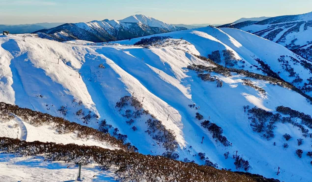
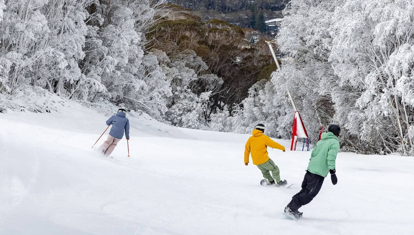
The wait is over, and the lifts are spinning and the Australian snow season for 2025 is now underway. It has been an eventful start, the Australian Alps seeing some timely snowfalls over opening weekend which allowed resorts to open up some terrain to ring in the 2025 season.
That system dropped 35cm of snow in Buller and up to 70cm at Falls and Hotham 65cms in Perisher and 50cms in Thredbo. Reports from those who have been out on the NSW Main Range estimate 70+cms above 1800 metres, the wind also filling in south facing slopes. The past week has seen very cold night, allowing the snowmakers to get a solid early jump, with more terrain opening over the past few days.
There is also some more snowy in the forecast early next week, so for more in-depth short-term forecast, keep an eye on my detailed forecasts which are published each Monday, Wednesday and Friday.
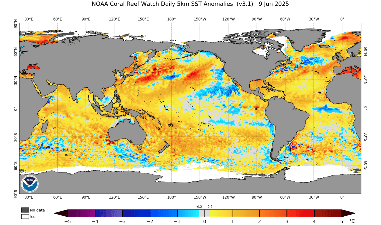
Now, where are we sitting with the Australian season outlook? Well, prior to the season, the running theme for the outlook was a neutral ENSO year with a predisposition, thanks to historically warm sea surface conditions in the Australian region, towards warmer on average temperatures. As we have discussed in the past months, the neutral nature of ENSO leaves the season more open to the influence of other modes of variability such as the IOD (Indian Ocean Dipole) which is becoming more and more likely to swing negative as we head further into the winter.
Neutral years can be hit and miss for Australian snow seasons and historically they can see both solid and lacklustre results. For a quick theory lesson on the equatorial Pacific Ocean, a neutral year results in trade winds at the surface blowing from the east, collecting warmer surface waters and driving up-motion in the west. However higher elevation winds above the surface blow back towards the east from the west, before descending toward the surface in the eastern Pacific.
This overturning circulation is known as the Walker Circulation and ENSO modes, La Nina/El Nino, can be considered as an amplification (La Nina) or weakening (El Nino) to this circulation driven by abnormalities in the SST (Seas Surface Temps) of the central equatorial Pacific. To keep it simple, because of the shear size of the Pacific Ocean changes to its regular operation has major flow-on effects all around the world, most noticeably locations bordering on the Pacific basin and Australia is no exception.
It is worth noting that neutral years are not inherently bad for snowfalls across the Australian Alps. As I mentioned in the last outlook, the ENSO and the IOD are currently very similar to the 2021 season. That year Snowy Hydro’s snow depth at Spencers Creek peaked at 183.6cm, a respectable total, although that was on July 29th, earlier than usual to hit peak depth.
IOD Update
After ENSO, one of the next biggest influences on the Australian precipitation scene is the IOD. For many similar reasons a negative IOD event can help provide an increase in the available moisture in the atmosphere over Australia, potentially leading to increases in the amounts of precipitation over the Australia Alps. If the temps are cold enough that can lead to increased snowfall.
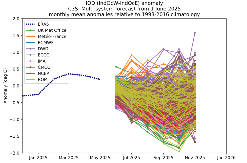
Below is a plot that I have used in both last seasonal forecast updates, this is the most recent run in June showing more and more confidence in a negative swing in the IOD across major global met agencies.
Seasonal Product Update
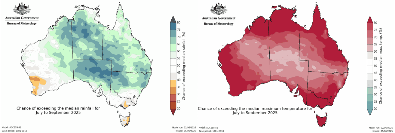
As we head further into winter, updates to seasonal forecasts are becoming clearer on the original idea. That is, high chances of warm temperatures and average to above average levels of precipitation particularly as the IOD swings into forecasted negative phase. This can be seen below in the Bureau of Meteorology’s updated climate outlooks showing the chance of exceeding median rainfall (left) and max temperature (right).
Getting into Focus
So, as the overall picture has become clearer on the most likely scenario for the Australian snow season and there haven’t been too many developments in the last month apart from confidence in the story. Historically warm waters will be the main antagonist that act to keep the temperatures warmer than average but the IOD swinging into the negative will allow more precipitation, which usually manifests itself in the form of northwest cloud bands (which is why we see that kind of NW/SE sash on the precipitation outlook).
Short-term drivers like the Southern Annular Mode will determine whether storms are be pushed to the south (positive SAM) or the cold westerly winds are further north (negative SAM) allowing storm to cross the Australian Alps, dropping snow as the do. At the moment though, early season conditions are tidy and with the chance of some snow in the next few days, the season is heading in the right direction.
That’s it from me folks. If you’ve got a different theory on what’s going to happen this winter, or just want to provide feedback, then please hit me up on Facebook and hit the follow button while you’re at it.


