April Powder – Cold Storm Drops Good Totals in the US, More on the Way This Week
Mountainwatch | Storm Journal
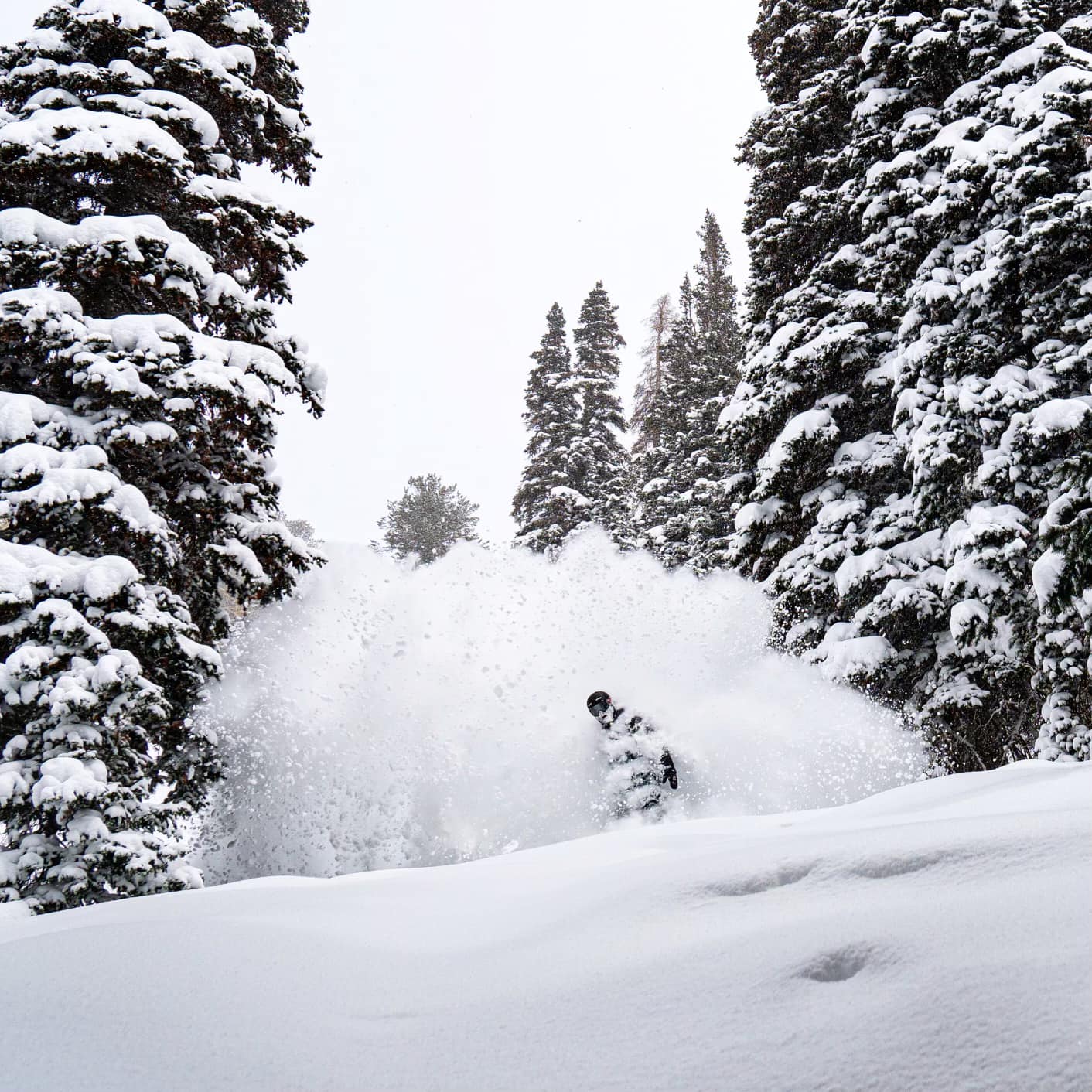
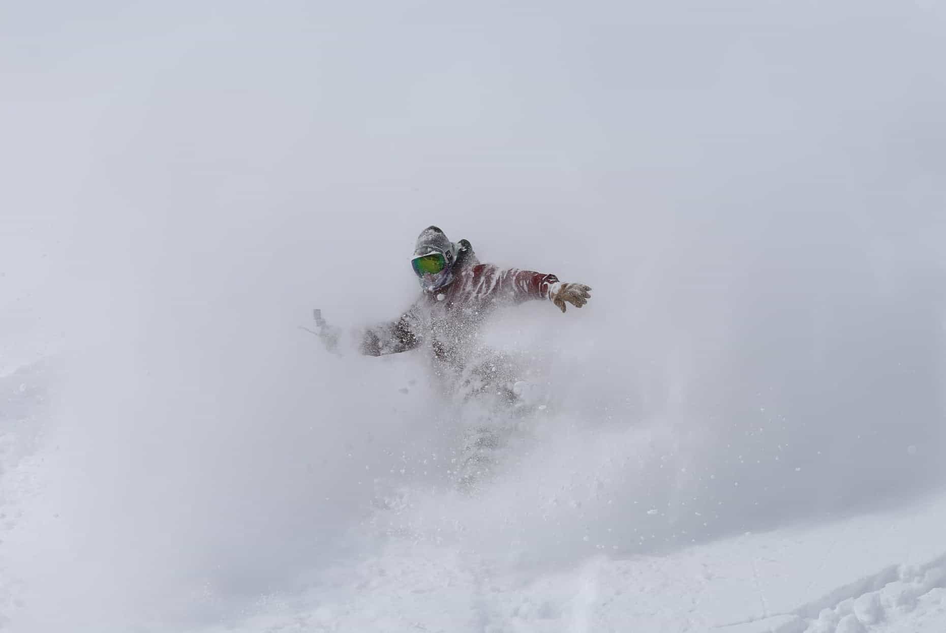
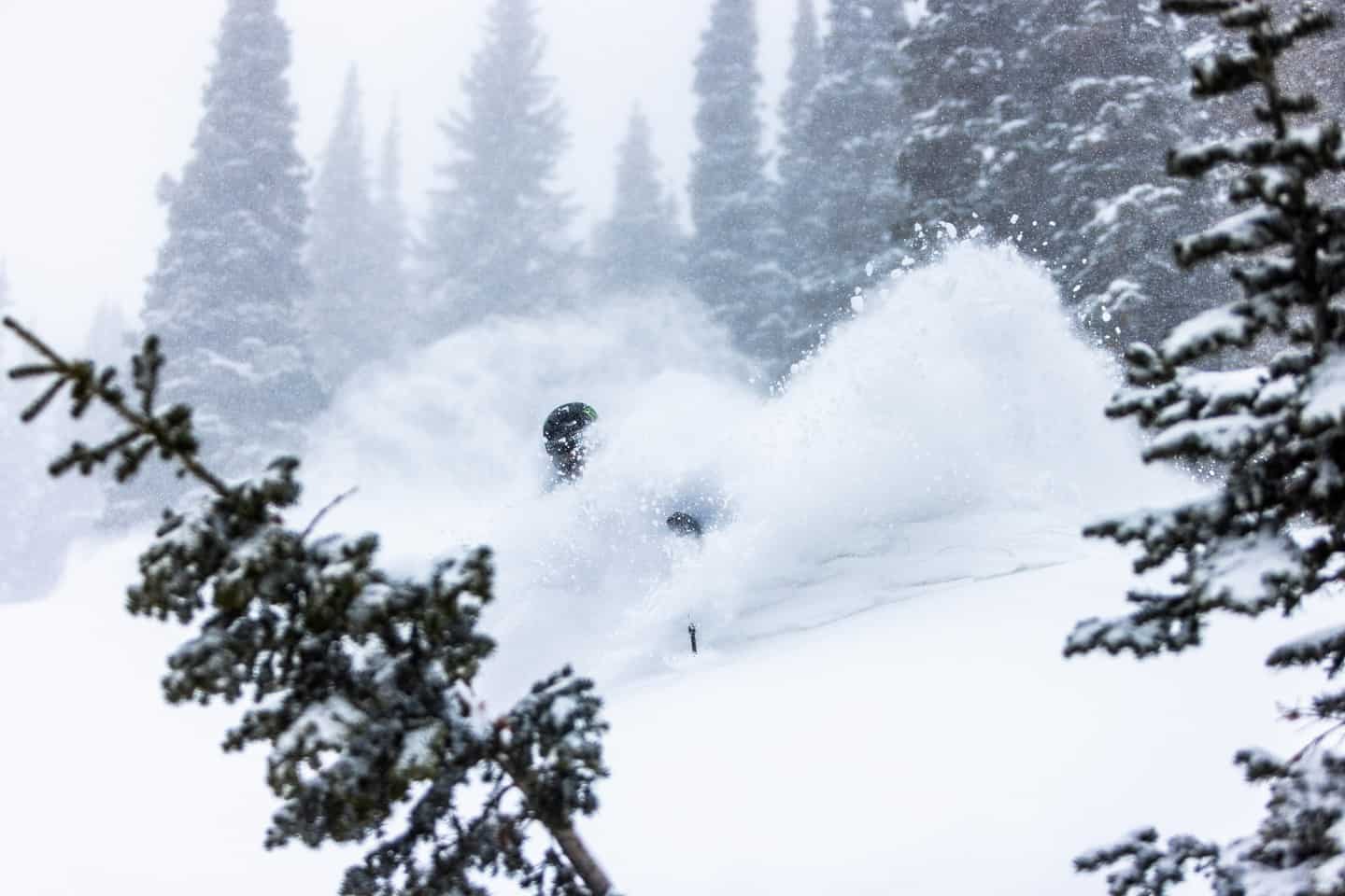
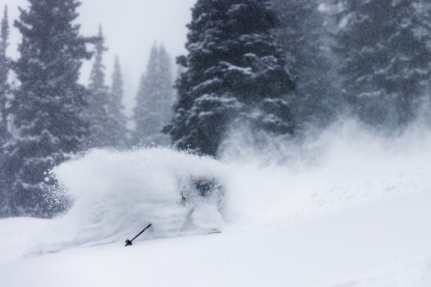
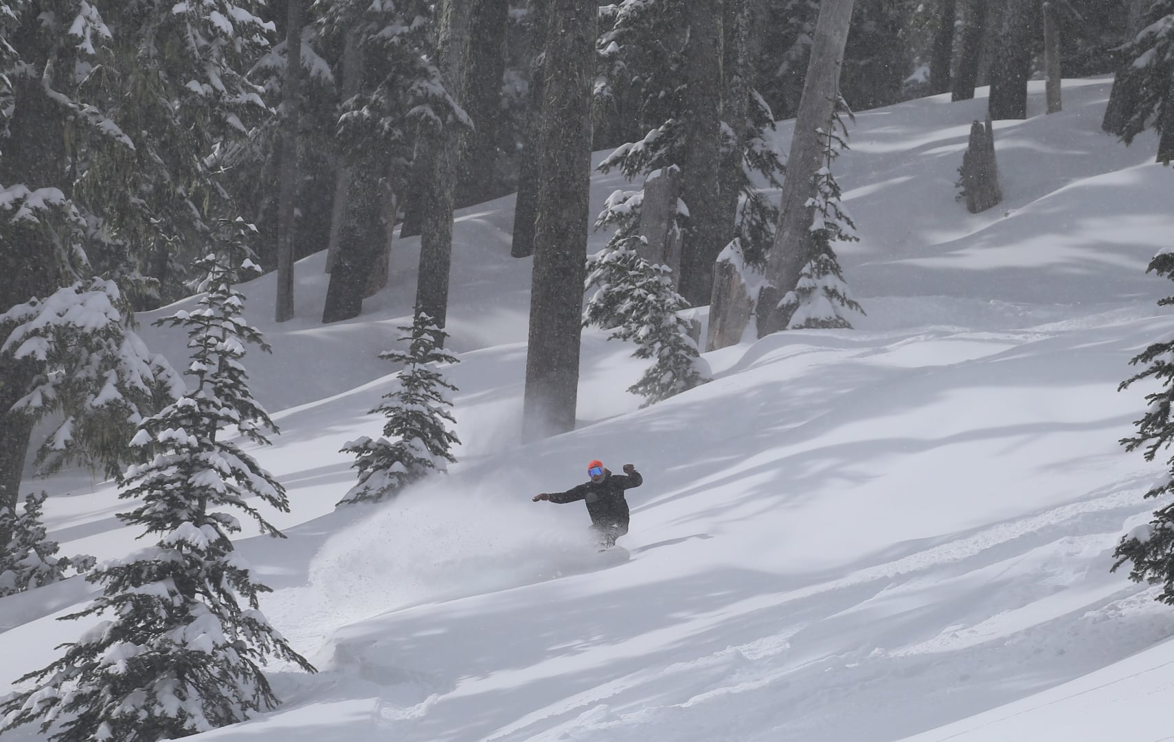
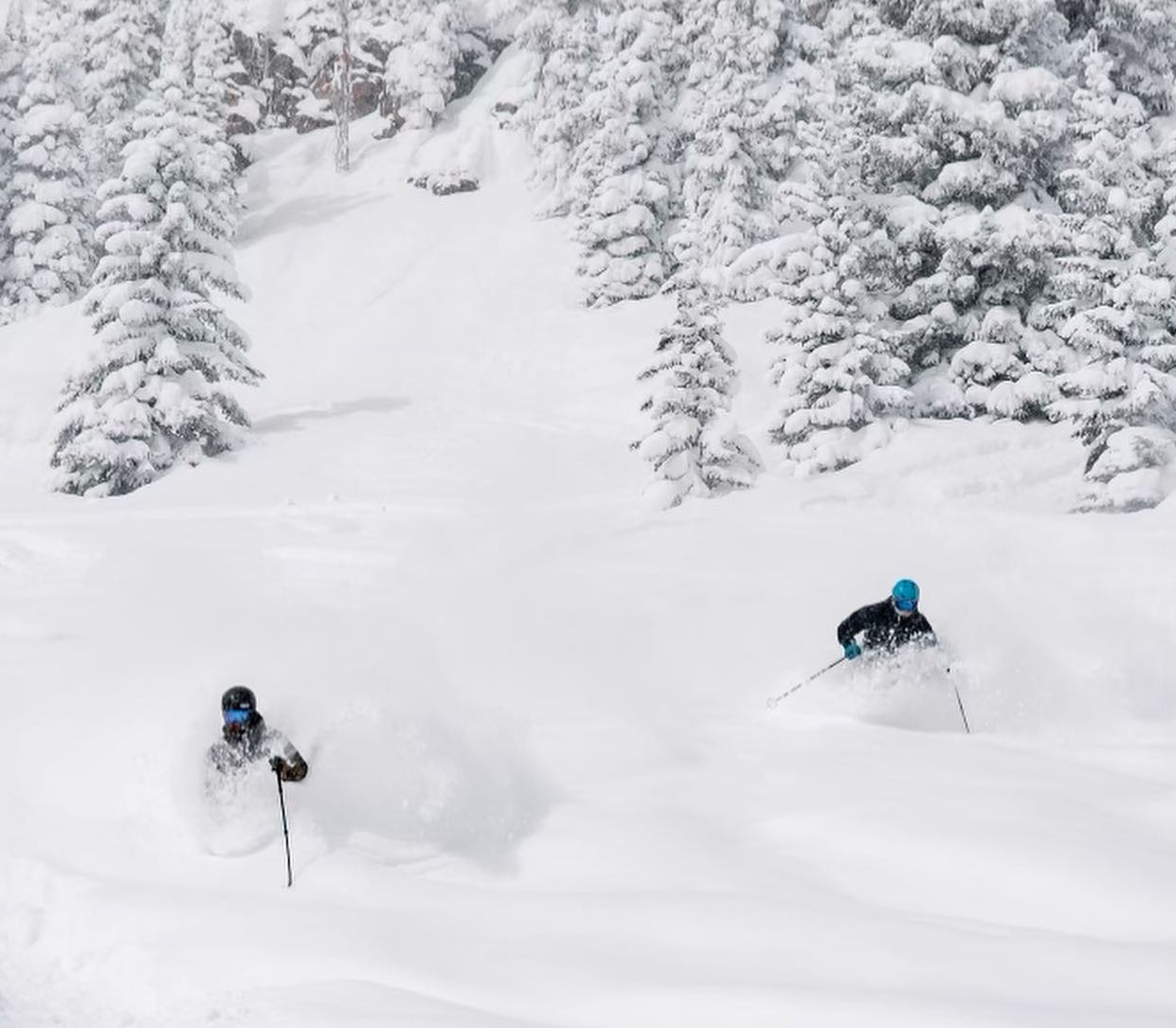
It has been a very good week for late season powder turns in resorts in the western US with snow down to low elevations, big snow totals and low-density, mid-winter quality snow.
The biggest totals were in the Pacific Northwest’s Cascade Range with Mount Hood Meadows in Oregon reporting five-day total of 1.5 metres and other resorts receiving 95cms.
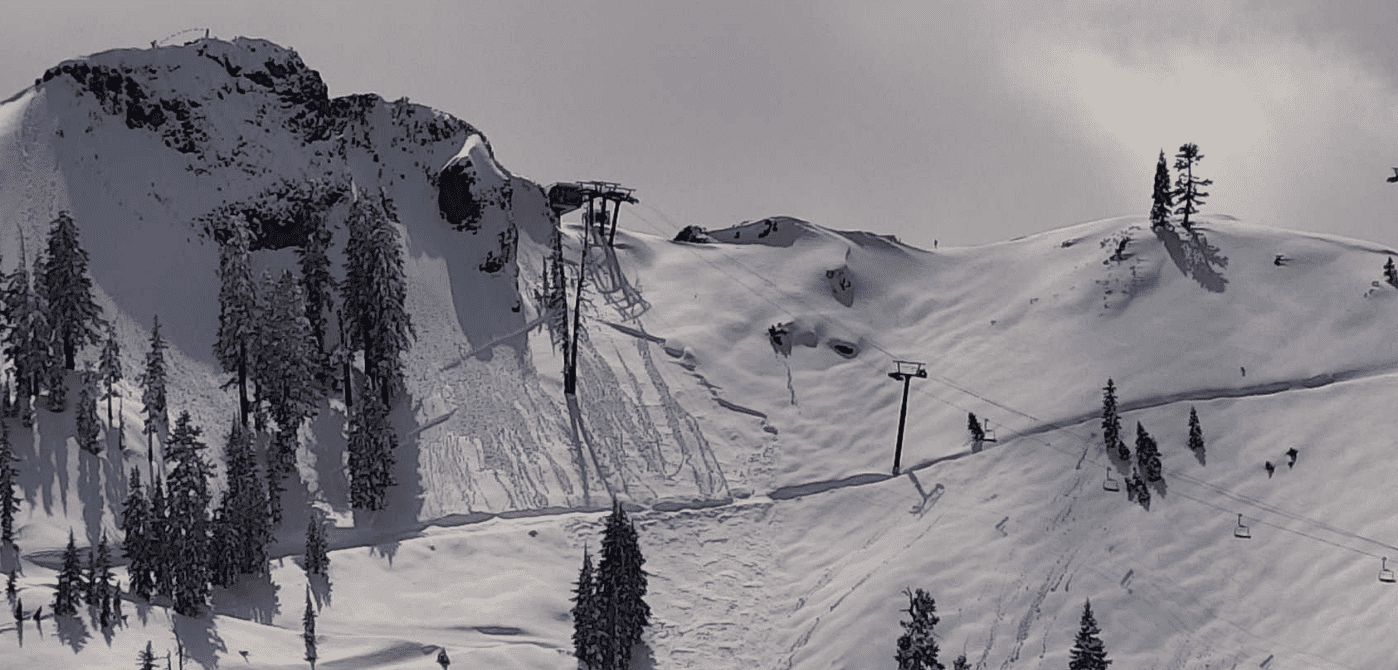
The Rockies also scored with 65cms at Aspen Snowmass, 50cms at Brighton, Utah, 40cms at big sky Montana and 30cms at Jackson Hole. California’s Northern Sierra’s also did pretty well with two-day totals of 45-50cms at Sugarbowl and Palisades Tahoe.
And it’s not over yet, with another two storms due in the next seven days, the first set to drop good totals in the Pacific Northwest across the weekend, followed by another storm on Monday/Tuesday into Wednesday.
This storm will also drop snow in British Columbia;s Coast Mountains, the Sierras and the Rockies. Expected five-day totals are 15-20cms for resorts in Utah and Wyoming, 40-45cms for the Tahoe resorts and up to 45-50cms for resorts in the Cascades. Whistler Backcomb should also see good snowfalls with mid-mountain totals of 75cms
It is turning into one of the snowiest Aprils in years, but with the many resorts closing or winding down operations, it is a little frustrating after long periods of mild, dry weather in January/February.