Australian Forecast, June 28th – Grey Skies and Light Snowfalls as Westerlies Continue to Blow
Mountainwtch |The Grasshopper
Written early Wednesday 28th, valid to Friday30thJune
Westerly winds will continue to blow in cloud and light snowfall over the next few days. Temps will be marginal on lower slopes today, where it may get a little wet, but colder air arriving tonight will bring snow levels right down low through into Friday, which should give the snow guns plenty of work to do.
Wednesday 28th
Cloudy with light snowfalls, falling as drizzle below 1400-1500m, becoming more persistent and slightly heavier from late morning and throughout the afternoon as brisk westerly winds turn a lighter SW.
Colder air arrives evening/night, with snowfall easing and lowering and the snow guns firing.
Thursday 29th
It’ll be much cloudier about the Vic resorts during the morning than in NSW, with light snowfall about Baw Baw and Buller. The cloud and light snowfall will spread everywhere during the afternoon. Stiff, cold SW winds gradually turning to the west.
Friday 30th
Cloudy with snow flurries, which will likely turn to drizzle at some point on slopes below 1500-1600m as temps rise a little. Strong W-SW winds.
Extended Forecast
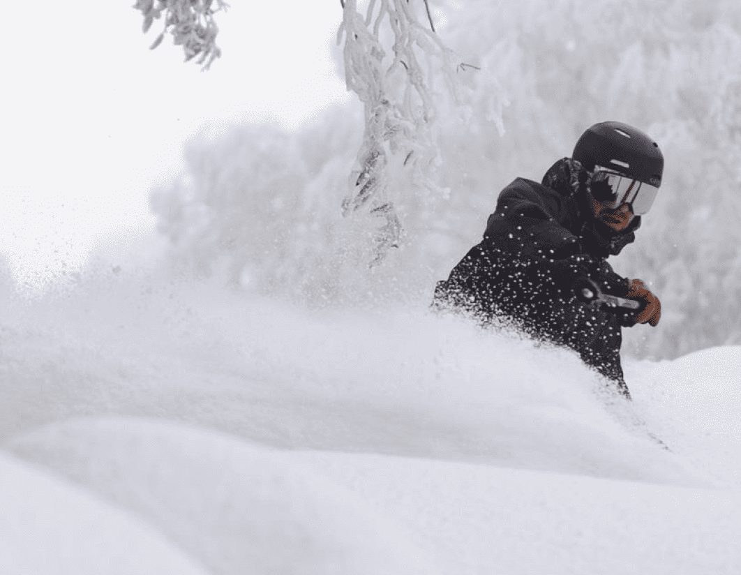
This weekend, strong SW winds and light snow flurries will continue into Saturday, but Sunday marks the end of this prolonged run of disturbed westerlies, which has brought consistent, small to moderate bouts of powder. We’ve had to deal with wind, grey, cloudy skies, and often poor visibility, and sometimes drizzle. But no one’s complaining, as we now have a snow base of 80cm+.
Next week, we could see some snow up high mixed in with rain Tuesday and/or Wednesday, possibly followed by a few snow showers to lower levels Thursday – nothing to get excited about at this stage. High pressure should keep things settled into next weekend.
That’s all from me today, folks. See you again Friday.
Grasshopper


