Australian Weekend Forecast, Friday August 30th – Wet & Very Windy Before Snow Falls on Monday
Mountainwatch | The Grasshopper
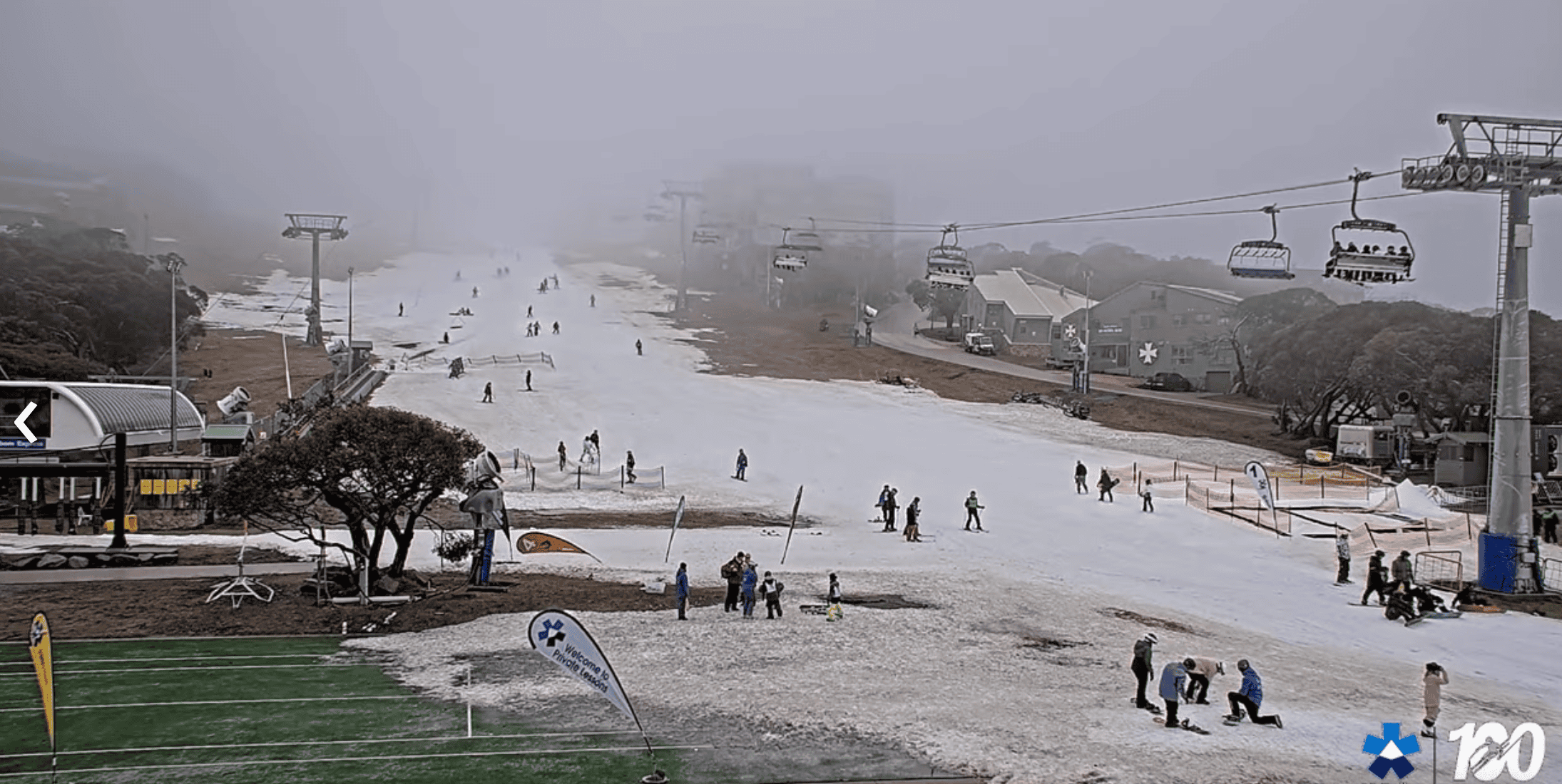
There was a wee dusting of snow when reports came in yesterday, with New South Wales picking up 5 to 7cm and Victoria 2-3cm. It doesn’t come close to the amount of snow we’ve lost in the last couple of weeks, and we’ll lose even more in the next few days as wet and very windy conditions persist. It won’t be pretty, with wind speeds reaching 100-120+ km/h this weekend and Monday.
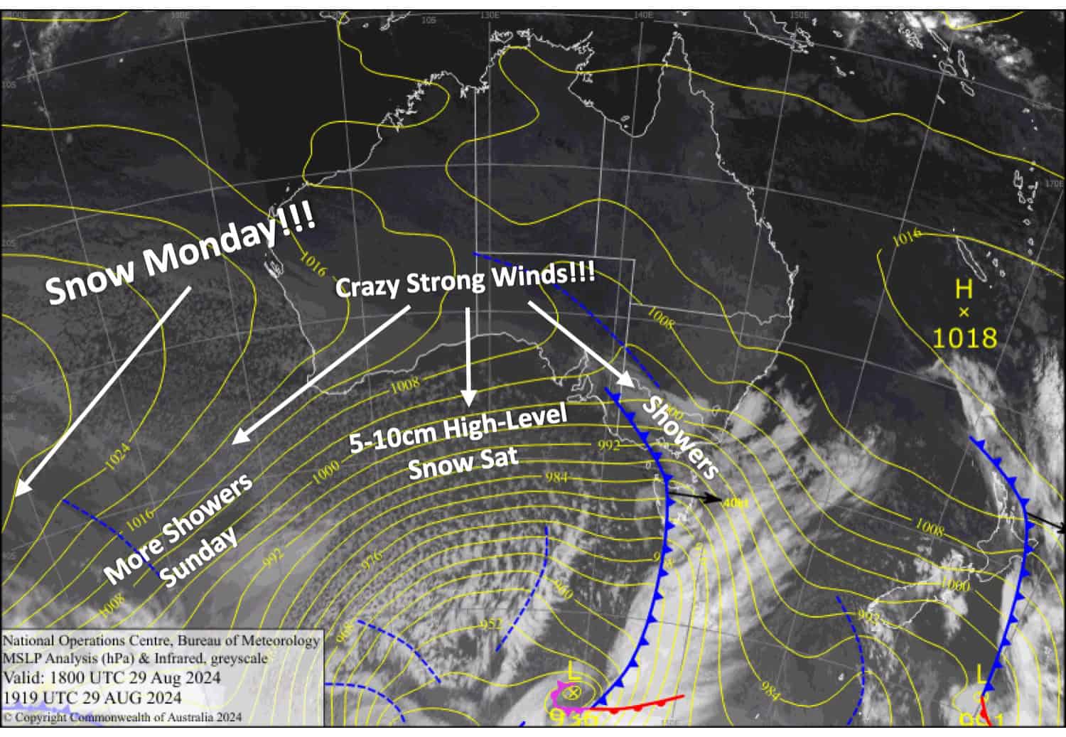
Amongst it all, we should pick up 5-10cm up high on Saturday before a cold change hits early Monday with freezing levels drop;ping to 1300 metres in the morning before climbing back to 1600. This is expected to dump around 10-15cm to base levels with up to 20cm possible in some places if we’re lucky. This will significantly improve things and hopefully keep us going for a while longer.
You may have noticed some wild snowfall numbers from our Mountainwatch model lately. We found a glitch in its ability to distinguish snow from rain—that’s all fixed now, and the numbers are lining up much nicer.
Friday August 30th
A rough day with showers and gale northwesterlies, although that’ll all ease a little this afternoon. Snow falling to around 1800m tonight.
Saturday August 31st
Gale to severe gale northwesterlies again with showers throughout the day. Snow lowering to near 1700m briefly in the morning before lifting to 1900m or above, with up to 5-10cm accumulating up high, reducing to naught down lower.
Sunday September 1st
Severe gale northwesterlies with showers, falling as snow about the peaks initially. The showers will be more persistent in Victoria.
Monday September 2nd
A cold front spreads snow eastwards early morning, with snow falling to base levels, pinning back to snow showers later in the morning before clearing at night. Gale to severe gale westerlies.
Extended Forecast
A ridge of high pressure will calm the winds down on Tuesday next week, and with clear skies and fresh snow, it’ll be the nicest day we’ve had for a long time.
Strong northwest winds will likely return on Wednesday, September 4th, and persist over the following several days as a front approaches and then stalls nearby. Unfortunately, no snow is expected during this time.
That’s all from me today, folks. The next forecast is Monday. See you then, and have a great weekend.
Grasshopper

