Australian Weekend Forecast Friday August 6 – Holding Pattern
Mountainwatch | The Grasshopper
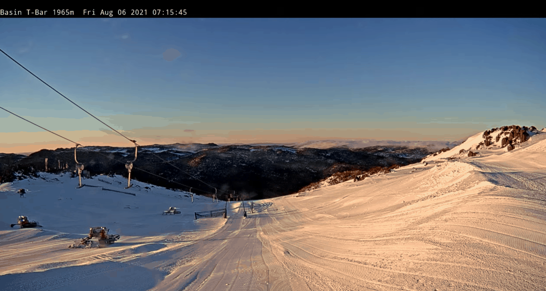
I know Victorians aren’t really feeling it right now, but the silver lining is that over the weekend there isn’t expected to be much new snow. Today should be a partly cloudy day around the alps with Saturday a bit cloudier and then clearing a little more for Sunday.
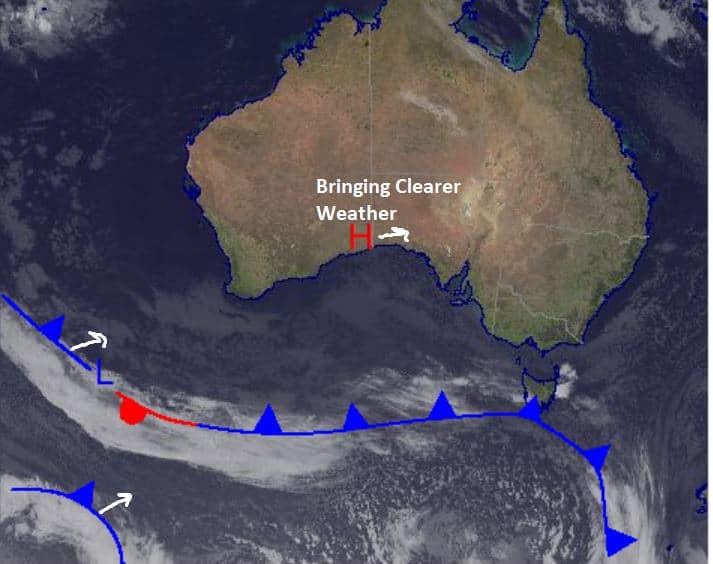
High pressure is in control right now as it moves across the country, settling over the southeast on Sunday. The broad front in the synoptic below does look impressive but it is not going to amount to much in terms of snow, expect it to split tomorrow and decay before it reaches the southeast.
Friday August 6
Partly cloudy day around the mountains with flurries possible above about 1500m in NSW. A little more cloud expected in Victoria with possible early fog and flurries above 1700m.
Saturday August 7
Some frost early in NSW and the chance for flurries up high. Fog early in Victoria with small amounts of snow above 1500m possible. Winds are pretty mild in both NSW and Vic.
Sunday August 8
Possible early fog for Victoria and the chance of some isolated flurries at times with a nice, partly cloudy day. In NSW a partly cloudy day with early fog also possible. Maybe small flurries early but otherwise nice day with a few clouds.
Extended Forecast
High pressure closes in on the southeast over the weekend bringing us a nice, sunny Sunday. It has been in the driver’s seat for nearly all the weather we’ve seen over this week. Going forward into next week there is precipitation in the middle of next week, but it is looking questionable for snow or rain. We are a still little far out, so I’ll keep you updated, but right now that system is expected later Wednesday into Thursday right now. Take care.
Check out my daily forecast tomorrow for an update on that next system is tracking.


