Countdown to Winter – Rain Won’t Ruin the Season’s Start
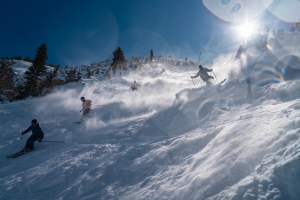
Storm clouds gathering over Thredbo on 22 May, more snow is on the way though. Image:: Courtesy Thredbo
Countdown to Winter | Alex Horvath
So you might have heard that yesterday the resorts copped a little bit of a soaking? Don’t panic! It is completely normal! Here at Mountainwatch we consulted our resident meteorology sensei “The Grasshopper” for a few words about the weather of the last few days.
“It’s a real shame to see all of that beautiful early season snow washed away, but unfortunately rain like we’ve just witnessed was always a strong possibility,” the Grasshopper said.
The weather pattern of the last few weeks has been a strong indicator of a great season ahead. The typical pattern in early to mid May in the last few seasons has seen the mid latitude band of high pressure systems become well established over SA, pushing a lot of the cold moist weather south of the continent. Luckily this year these ‘blocking highs’ haven’t become properly established, letting the cold fronts push north and bringing with them cold moist winds.
Being only May, when these systems have come through the temperature gradients in the atmosphere are often only borderline, meaning snow, as we saw last week, or rain as we have seen today and last night.
“At this time of year the precipitation often comes out of air with a freezing level (0°C) around 2500m, meaning that at 1500m the air can be around 6 or 7°C. That means that by the time any snow falls down to 2000m or below the temperature is well above freezing and the snow has melted,” the Grasshopper explained.
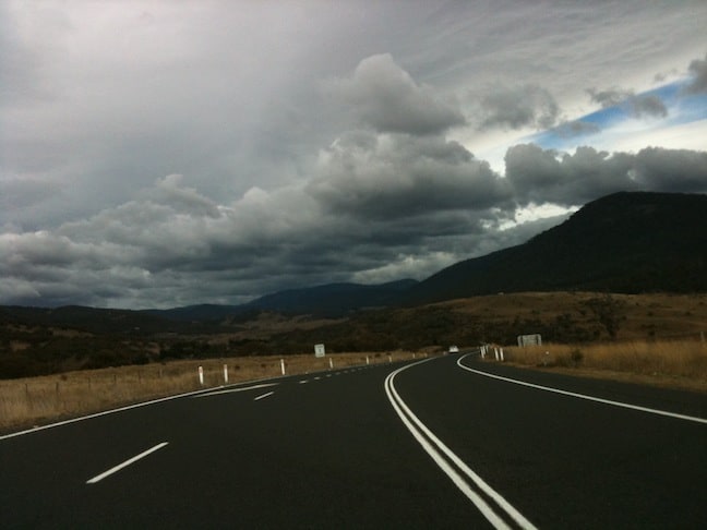
They Snowy Mountains Highway near Kiandra on 16 May. Image:: Courtesy Selwyn Snowfields
It seems this cold front was no exception, everything was looking so good – the moisture was there -but unfortunately the cold air was a little late to the party.
“And like many of these cold fronts, by the time the cold air arrived and the freezing level dropped below 2000m, there wasn’t enough moisture left to produce significant snow.”
The rain that fell is not a bad sign by any means; the rainfall has two main benefits.
The fridge effect
Unfortunately this is not the one that keeps the pale ales cold but it has a benefit even more important than a great après session. Effectively the moisture infiltrates into the soil, where it gradually freezes as temperatures cool through the night. This basically snap freezes the ground meaning that when snow does fall, as is forecast for the next few days, the frozen ground keeps it cold so it’s more likely to stick around. This ground cooling has added benefits for the resorts’ snowmaking capabilities, making it easier to get a good base started.
“The colder weather and early season snow is great to see, any snow is good snow!” said Thredbo Media’s Susie Diver “The forecast for cold temps over the next few weeks means that the ‘fridge’ effect will be in full swing and our snowmakers can make the most of it, cranking the guns at every opportunity. We still have a few weeks to go and with our latest snowmaking equipment we can be ready to go in just a few days!”
Snowmaking runoff
The second benefit is the runoff into the resorts snowmaking reservoirs; this will ensure that there is sufficient water available to achieve another record-breaking year of snowmaking.
“Here at Selwyn Snowfields we are feeling very positive about the weather patterns we have been seeing so far, the fridge effect should be happening as temperatures drop tonight prepping the ground for any snow that does fall over the next few days,” said Selwyn Snowfield’s Paul Chandler. “We will be kicking off snowmaking from 1 June and will be keeping the guns cranking at every opportunity! We are looking forward to another great season!”
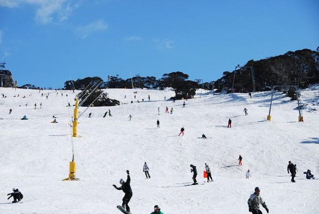
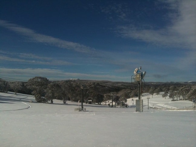
Perisher was able to open Front Valley for riding on May 20 and 21 thanks to the early season snowfalls. Image:: Courtesy Perisher
On the Forecast
Over the next week or so we are likely to see a significant drop in temperatures that will mean chilly nights and more snowfall!
“By no means should we take this as a bad omen for the season ahead,” says the Grasshopper.
“We just have to be patient. As we move into winter the airmasses will get colder and colder, and more and more of the precipitation will fall as snow. Over the next few days a southerly flow will continue to feed in cold air, and we’ll see scattered snow showers. Winds will then turn westerly, as a very large high-pressure system becomes the dominant feature over southeast Australia. This will see warming during the day but good snow making conditions at night. At the moment the next push of cold air looks like it will come through around June 1 or 2, probably preceded by a little more rain.
Sticking my finger in the air and having a punt, I’m going to stick with my original seasonal outlook, where I picked that the next big dump of snow will come a week or so either side of 1 July.
I’m still confident we’ll see a solid, if not spectacular, season, with the best skiing in August,” The Grasshopper concluded.
So there you have it! Straight from the guru himself! Stay tuned to Mountainwatch for more weather coverage and commentary over the next three weeks. For now, strap in, gear up and jump around in your living room! Winter is almost here….
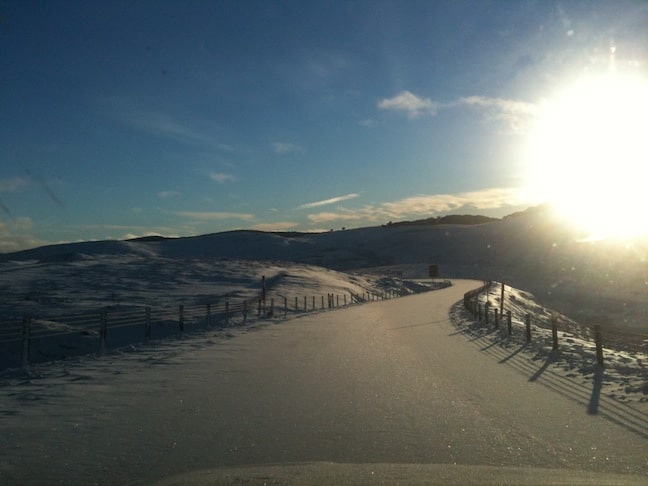
Selwyn on 12 May was looking ready for riding. Image:: Courtesy Selwyn Snowfields
Perisher forecasts,
snow reports and
live snow cams.
Charlotte Pass forecasts,
snow reports and
live snow cams.
Thredbo forecasts,
snow reports and
live snow cams.