Grasshopper’s Australian Weekend Forecast, June 20th – Mint Till Sunday, Rain Then Snow Next Week
Mountainwatch | The Grasshopper
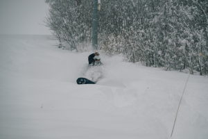
A big fat high drifting over the Aussie Alps will keep skies clear and calm until Sunday. After that dusting of snow earlier in the week, along with cold temperatures, we’ve got excellent early-season conditions out there.
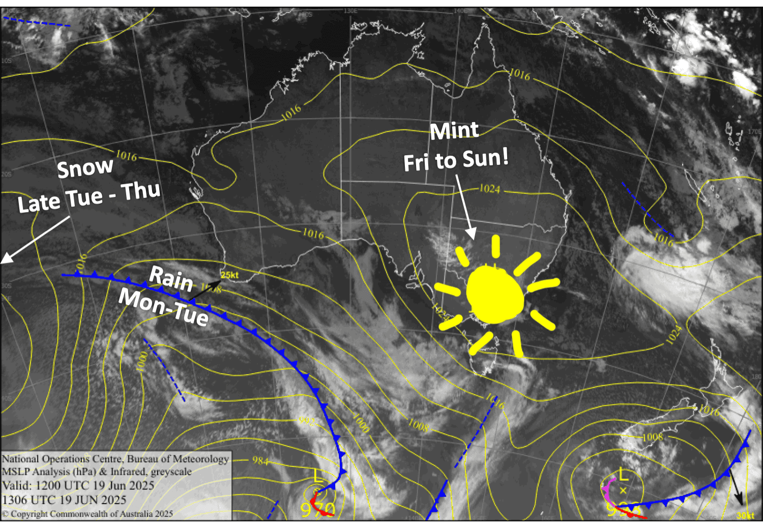
Things will take a turn on Monday as a punchy storm from the west leads in with strong, warm and wet northwest winds. We’ll receive a fair whack of rain from late Monday, but fortunately, cold air will arrive later on Tuesday, and bring us a decent load of powder before next weekend.
Friday 20th June
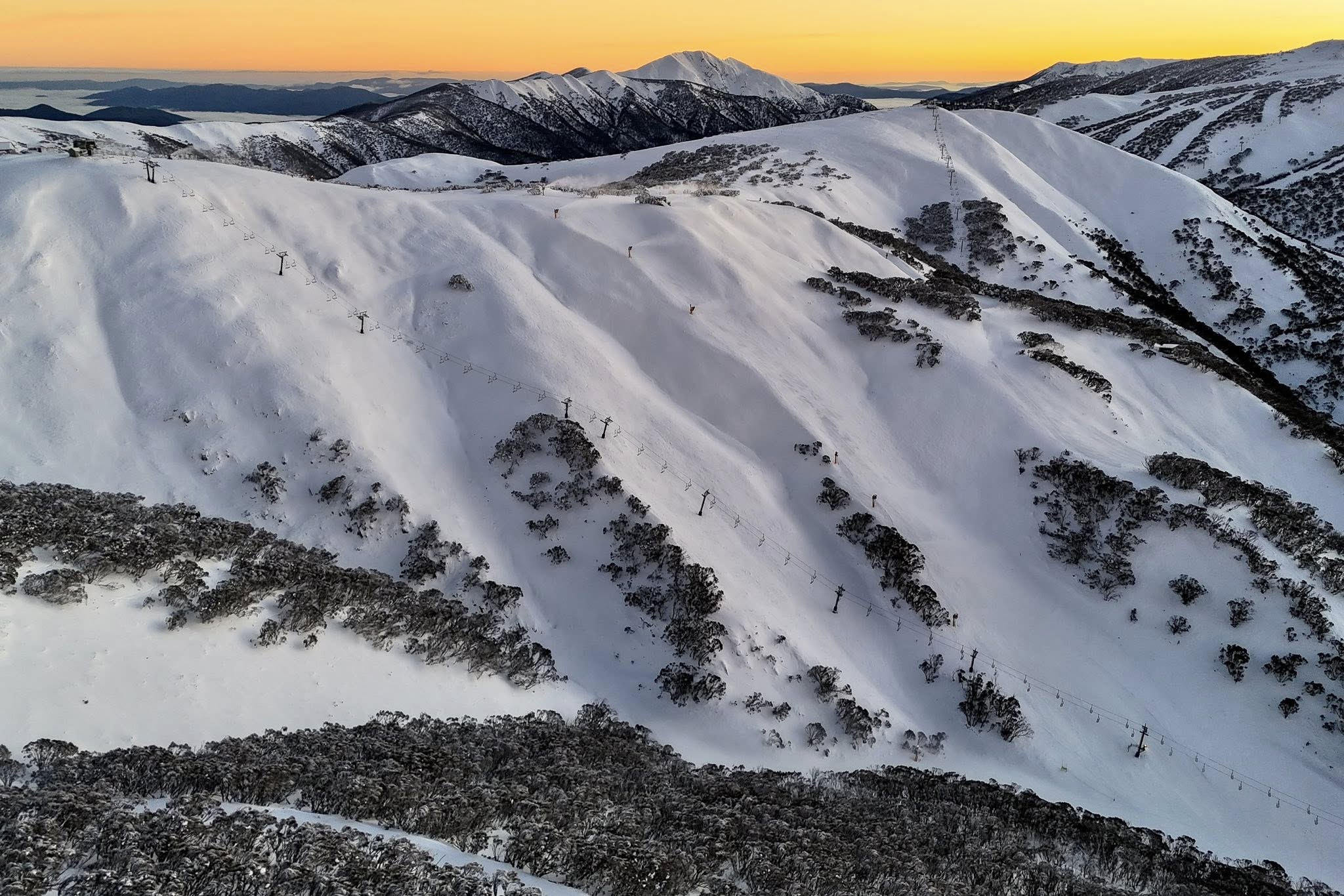
An absolute stunner with clear skies, calm skies.
Saturday 21st June
Another cracker day, mild with light northwest breezes developing.
Sunday 22nd June
Mint again, with a little high cloud. Northwest winds pick up.
Monday 23rd June
Light rain or drizzle develops in the morning, then builds a little during the day, with heavy falls after dark. Strong northwest winds will blow a gale in exposed areas.
Extended Forecast
Heavy rain and strong northwest winds will continue through the first half of Tuesday, then it’ll turn to snow during the latter half of the day, with heavy snowfall coming down before it starts to back off later on Wednesday and finally clears up on Thursday. It’ll be a punchy storm with current forecasts picking between 30 and 45cm at the resorts, but about half as much for Mt Baw Baw.
This will set us up nicely for a fine, settled weekend as high pressure builds.
That’s all from me today, folks. I’m sending out these forecasts every Monday, Wednesday and Friday throughout the season. Have a great weekend, and I’ll see you back here on Monday.
Grasshopper