Mountain Safety Collective Backcountry Conditions Report – Friday 12 July 2024
Mountainwatch | Mountain Safety Collective
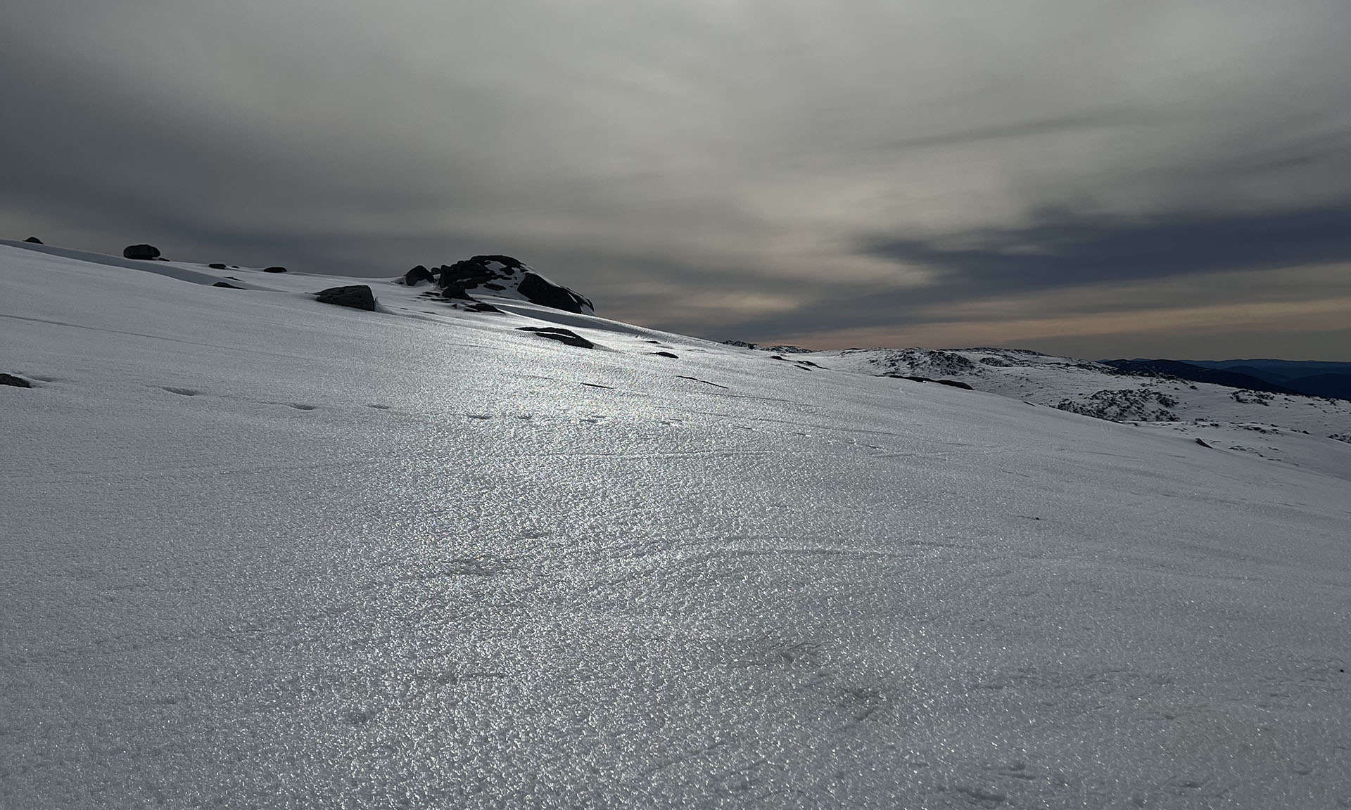
The light rain through this week in the mountains didn’t provide much upside in the backcountry, with moist, whiteout conditions on Tuesday and Wednesday restricting access before a solid freeze on Thursday created a widespread ice crust at all elevations and aspects. The snowpack below 2000m has been diminished by the rain, with more vegetation and rocks being exposed again on lower slopes and exposed ridges.
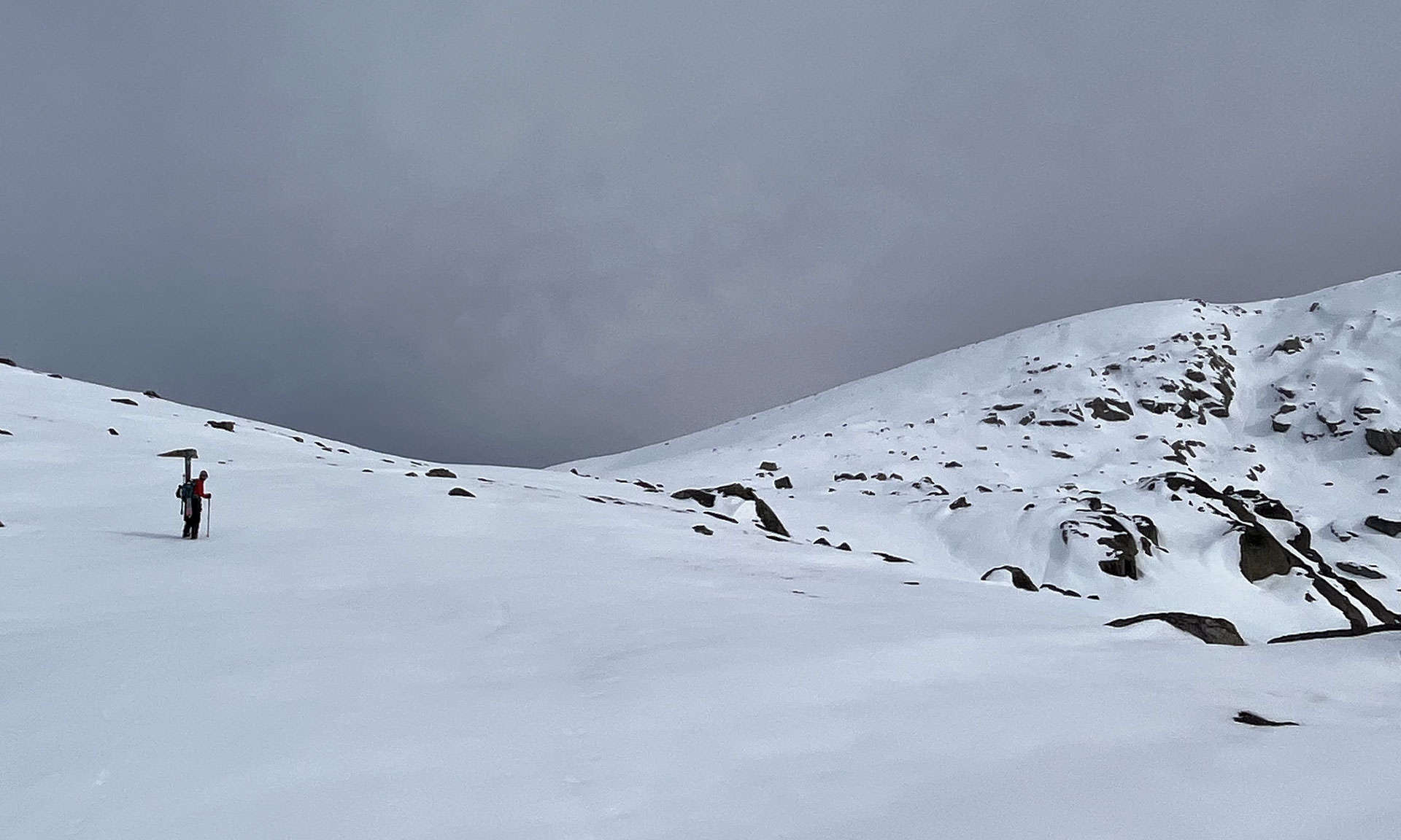
In the NSW Main Range, the ice crust is 2-4cm thick and is generally supportive for skinning up with crampons, but skiing and snowboarding on the descent is of marginal quality at best, with slicker ice at higher elevations giving way to a bumpy, refrozen, rain affected snow surface at lower elevations. Slide on ice risk is elevated on steeper slopes, so if you are venturing into the backcountry, dial back your objectives and avoid steeper slopes where a fall could result in a long slide on the ice and the associated consequences.
The only upside from this weather cycle is that the snow cover above 2000m remains deeper on wind loaded aspects and the ice crust will protect it from further degradation in the short term.
Victoria has not fared well at all this week, with the already thin snow cover being reduced further exposing even more vegetation, creeks and rocks. A few centimetres of snow fell on Thursday night that sits on top of a hard ice crust making any riding on viable slopes challenging with a similar slide on ice risk as NSW. Low cloud is currently hugging the Victorian peaks on Friday morning creating white out conditions in the backcountry.
As we look towards the weekend, the cloud is forecast to lift through Saturday with some sunny breaks expected before the next front arrives on Sunday accompanied by strong winds and some light snow. Given the snow surface conditions and forecast weather, this is not a weekend to be planning a longer backcountry tour or snow camping mission.
All hopes are now pinned on 10-20cm of snow forecast to fall from Sunday July 14 to Wednesday July 17, accompanied by cold temperatures and low freezing levels. Looking further ahead, some forecasts are indicating a polar vortex event commencing on Saturday 20th July that could see substantial snow falls across the mountains through the last week of July. We live in hope!
For free, daily updates on backcountry conditions, check out Mountain Safety Collective.


