Mountain Safety Collective Backcountry Conditions Report – Friday 12 September 2025
Mountainwatch |Mountain Safety Collective
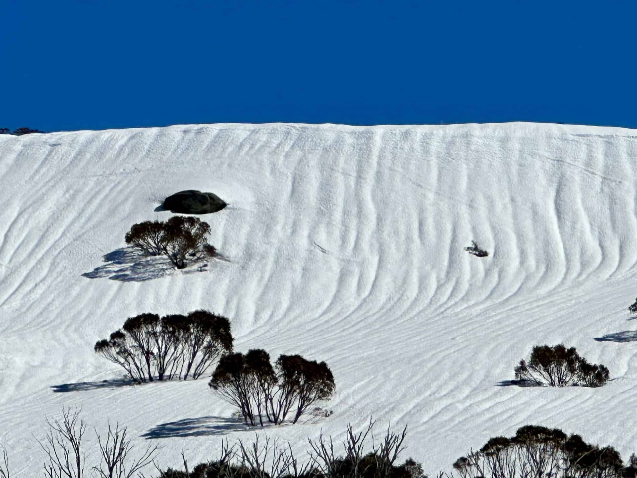
This week started with over 20mm of rain across both NSW and Victorian mountains on Sunday night – luckily far less than the 40-60mm of rain originally forecast, but still enough to negatively impact the snowpack. This was followed by very mild temperatures and strong “hair dryer” north westerly winds on Monday and Tuesday that sped up the snowpack depletion, particularly at lower elevations and on exposed ridges and sun facing slopes.
Wednesday saw colder night time temperatures return the mountains to a more classic melt-freeze cycle where the snow surface is firm in the morning and softens through the day, turning to slush in the afternoons. While Victoria only saw a trace of snow on Wednesday night, NSW saw around 15-20cm fresh snow fall by Thursday morning, resulting in fun powder turns until it warmed up and got heavy by around 11am.
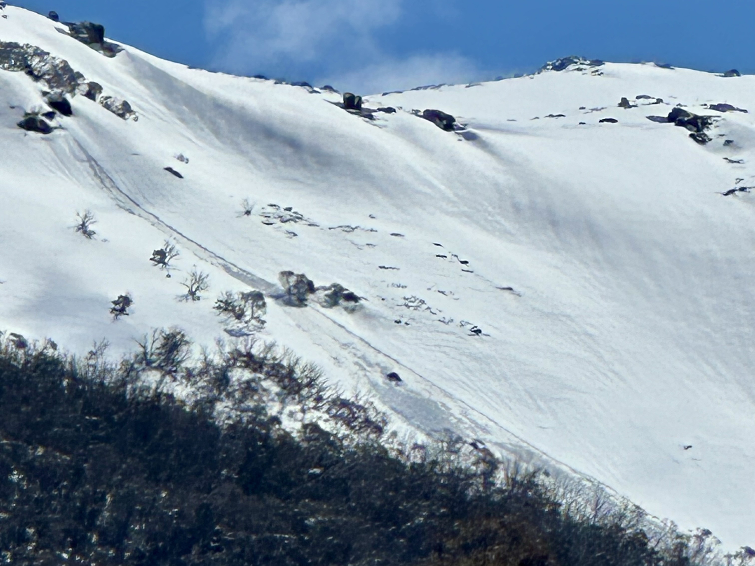
Thursday also saw one of the more active avalanche cycles of the season, with steep sun facing slopes releasing size 1-2 avalanches (Big enough to bury or kill a person) as the heavier snow slid on the icier layer below. Keep this hazard top of mind if venturing into steeper terrain in NSW over the weekend.
As we move into the weekend, we’ll see very favourable spring weather for backcountry tours, with overnight refreezes followed by sunny warm days on Friday and Saturday before a bit of cloud accompanied by stronger north westerly winds rolls in on Sunday. Overall this is looking like one of the better weekends of the season for bigger backcountry tours while the snowpack is still close to peak depth.
Winds ramp back up on Monday and may remain at elevated levels through much of next week accompanied by more precipitation on Tuesday and Wednesday.
You can keep up to date with free Backcountry Conditions Reports every day by visiting Mountain Safety Collective.


