Mountain Safety Collective Backcountry Conditions Report – Friday 27 June 2025
Mountainwatch |Mountain Safety Collective
This week has seen every side of what the weather can do in the Australian mountains. The wind picked up on Monday morning with gusts exceeding 100kph and 70-90mm of rain fell through the night before temperatures dropped below zero and it turned to snow by mid morning. We then saw extreme blizzard conditions into Wednesday with wind gusts peaking at 122kph and wind chill of -23 degrees recorded at Thredbo top station. By the time the storm cleared on Wednesday evening most resorts were reporting 30-40cm of fresh snow.
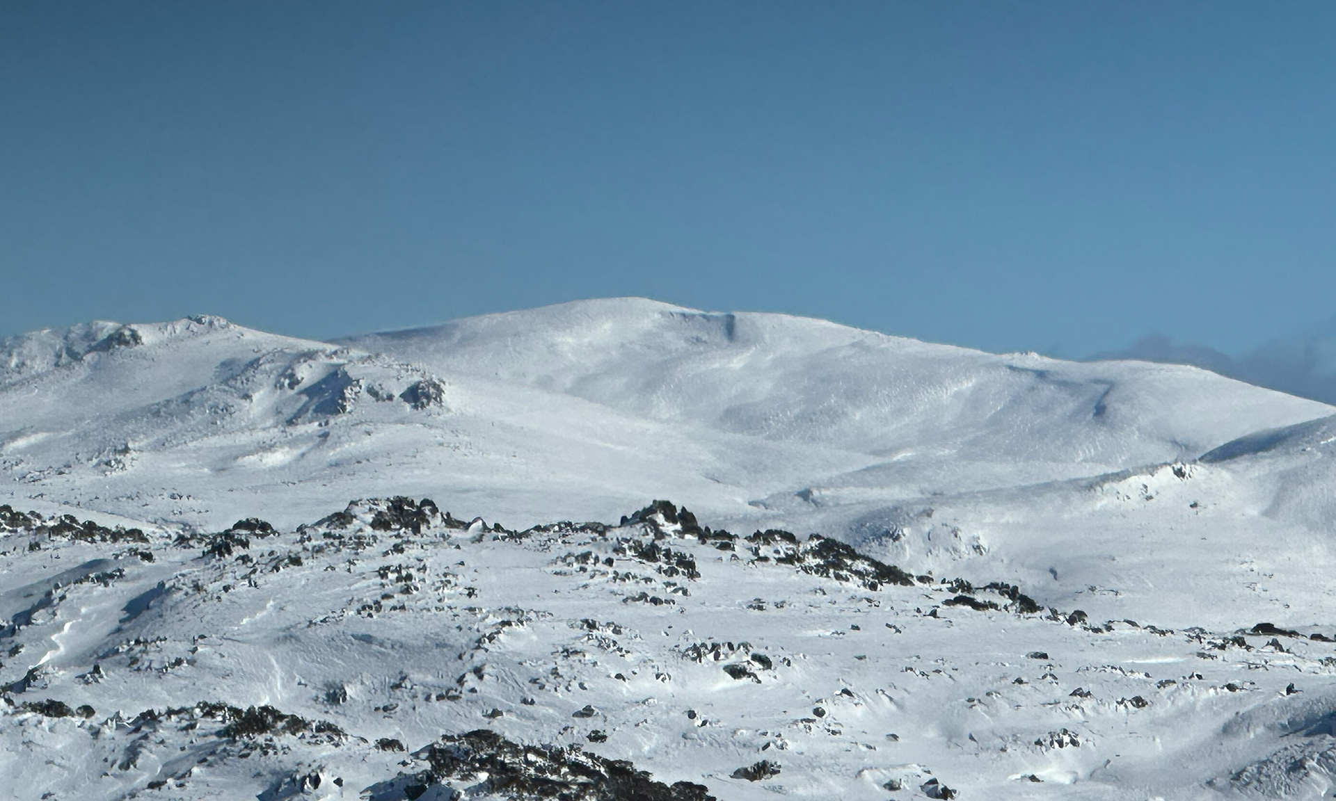
Thursday saw a stunning cold blue bird day and MSC’s field teams were able to get out for observations and found the wind was the main factor in where this new snow has ended up and what its quality is like to ski and ride. The broad story is that the rain has consolidated the deeper snowpack from the June long weekend storm and a rime ice crust has formed in places where this older layer is still exposed. Windward slopes to the West and South and ridgetops have been heavily scoured by the wind and leeward slopes to the East and North have been loaded with snow, with depths of up to 275cm recorded in high alpine wind drifts. Snow in the alpine is densely windpacked and scoured into sastrugi ridges. Below the treeline, the surface snow is generally softer but the snowpack is still much thinner and exposed hazards remain, like open creeks, rocks and partially buried timber.
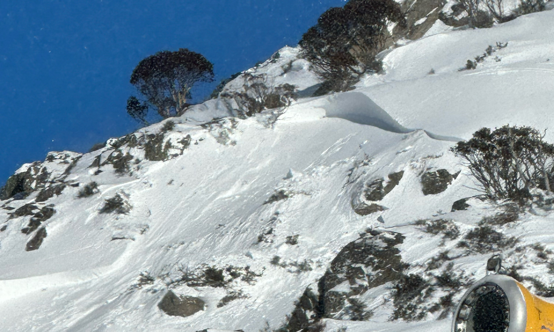
The main hazard to be aware of after a storm event like this is the potential for wind slab avalanches on lee slopes. This became very apparent when a skier ducked the rope into the closed zone of Rock Gardens at Blue Cow on Thursday morning and triggered a larger avalanche into a terrain trap chute. While there were no reports of injuries it highlighted the risks even within resort boundaries.
The next few days across the weekend will see stunning weather conditions with clear skies, colder night time temperatures and light winds, so perfect for snow camping and bigger objectives. Be aware that daytime warming on sun exposed slopes may create instability. Cloud returns on Monday with some unsettled weather from Tuesday into Wednesday.
You can keep up to date with free Backcountry Conditions Reports every day by visiting Mountain Safety Collective.
Don’t forget that MSC’s Membership Drive is running with some fantastic prizes to be drawn at the end of June and more in July and August.


