Mountain Safety Collective Backcountry Conditions Report – Friday 8 August 2025
Mountainwatch | Mountain Safety Collective
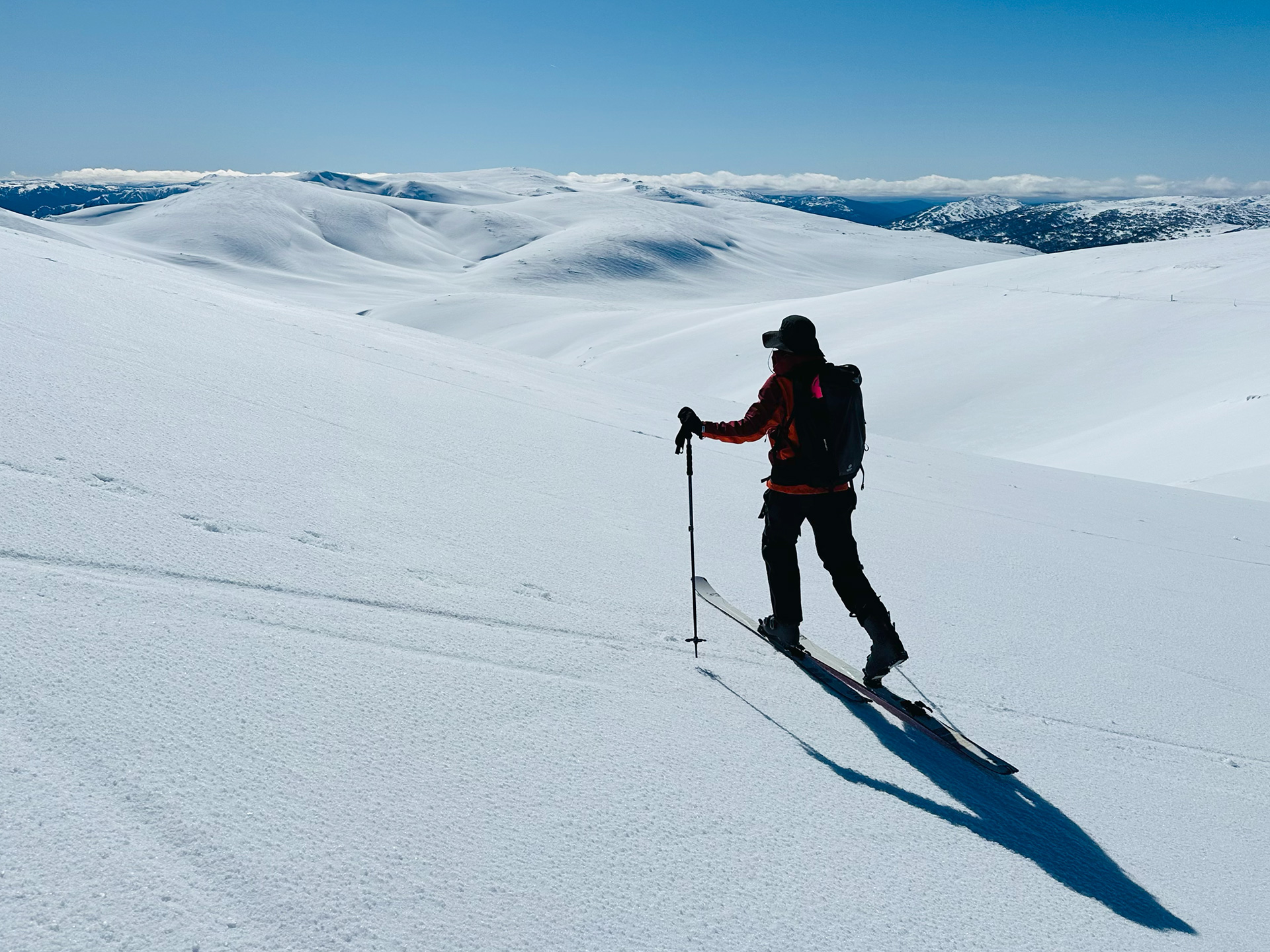
Last Sunday saw arguably the nicest day in the backcountry this season as a high pressure ridge cleared the mountains of cloud accompanied by the rarity of almost no wind, with sun facing slopes softening into spring-like corn snow by lunchtime. The sun continued on Monday morning, but the wind picked up through the day as a fast moving cold front approached on Monday night.
Temperatures remained stubbornly mild into Tuesday morning accompanied by extreme winds over 100kph and the system delivered around 10mm of rain in NSW and 20mm in Victoria. Low cloud behind this front obscured visibility through Tuesday and into Wednesday making for unpleasant conditions.
With the sun returning on Thursday, it seemed like we were in for a repeat of Sunday’s spring-like conditions, but Tuesday’s rain had created a crust on all aspects and elevations up to 10cm thick that failed to soften through the day despite mild temperatures and bright sunshine.
As we move into Friday and the weekend, a large high pressure system will bring cold nights and clear days to the mountains making for ideal backcountry touring weather. The next cold front is forecast to arrive on Wednesday 13 August followed by a larger snow bearing system from 16 August.
However, with the widespread surface crust in place across the mountains, there’ll be an elevated sliding hazard, particularly in the mornings before any softening on sun facing slopes is possible. Carrying crampons will be a must and tools for self arrest if travelling on steeper terrain.
You can keep up to date with free Backcountry Conditions Reports every day by visiting Mountain Safety Collective and MSC’s Membership Drive will be releasing a load of new prizes up for grabs in August! If you’re in Hotham next week, check out the Film Night on Friday 15 August.


