New Zealand Forecast Friday June 25 – Windy Weekend With Snow on The Cards

Mountainwatch | The Grasshopper
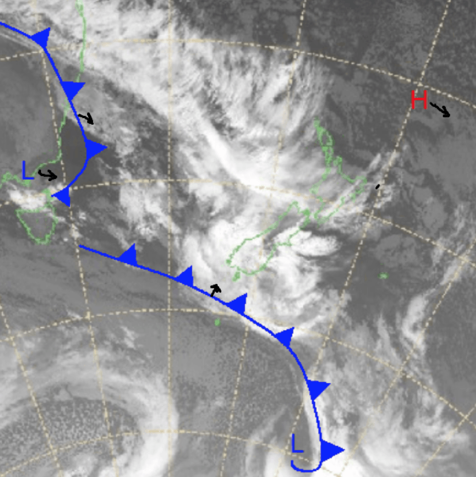
The weekend is here and so is the weather. Snow forecasts earlier in the week for today have been downgraded with some rain expected to take its place. Snow is still on the cards for Sunday night and Monday with a little bit to carry over onto Tuesday.
For this weekend storms approach from the northwest. Snow totals are hard to predict depending on how some resorts fare today with precipitation expected, but marginal freezing levels pose a real problem. I am more hopeful about Monday giving good totals around the Southern Lakes.
Friday June 25
North Island: Rain for Ruapehu with freezing levels up at 3000m very strong northwesterly winds.
South Island: Strong winds and the freezing level sitting at around 2000m, potential the rain will turn to snow,
Saturday June 26
North Island: Heavy precipitation across the Ruapehu resorts with the freezing level at 2800m, strong northwesterlies.
South Island: Freezing levels starting at around 2000m lowering later on. Little amounts of precipitation around the resorts.
Sunday June 27
North Island: A mix of rain and snow for Ruapaehu, freezing level around 2000m strong possible severe gale northwesterlies.
South Island: Snow possible around 1400m picking up overnight before better totals on Monday.
Extended Outlook
A wet and windy weekend appears to welcome the openings of resorts. Today looks to be an average day but looking ahead there looks to be something in Monday and Tuesday possible giving around 10-20+cm to resorts around the Southern Lakes. Keep an eye out for my forecast Monday where I’ll give you an update on how this is tracking.


