New Zealand Forecast, Monday, July 29th – Snowstorm of the Season as Polar Outbreak Hits NZ
Mountainwatch | The Grasshopper
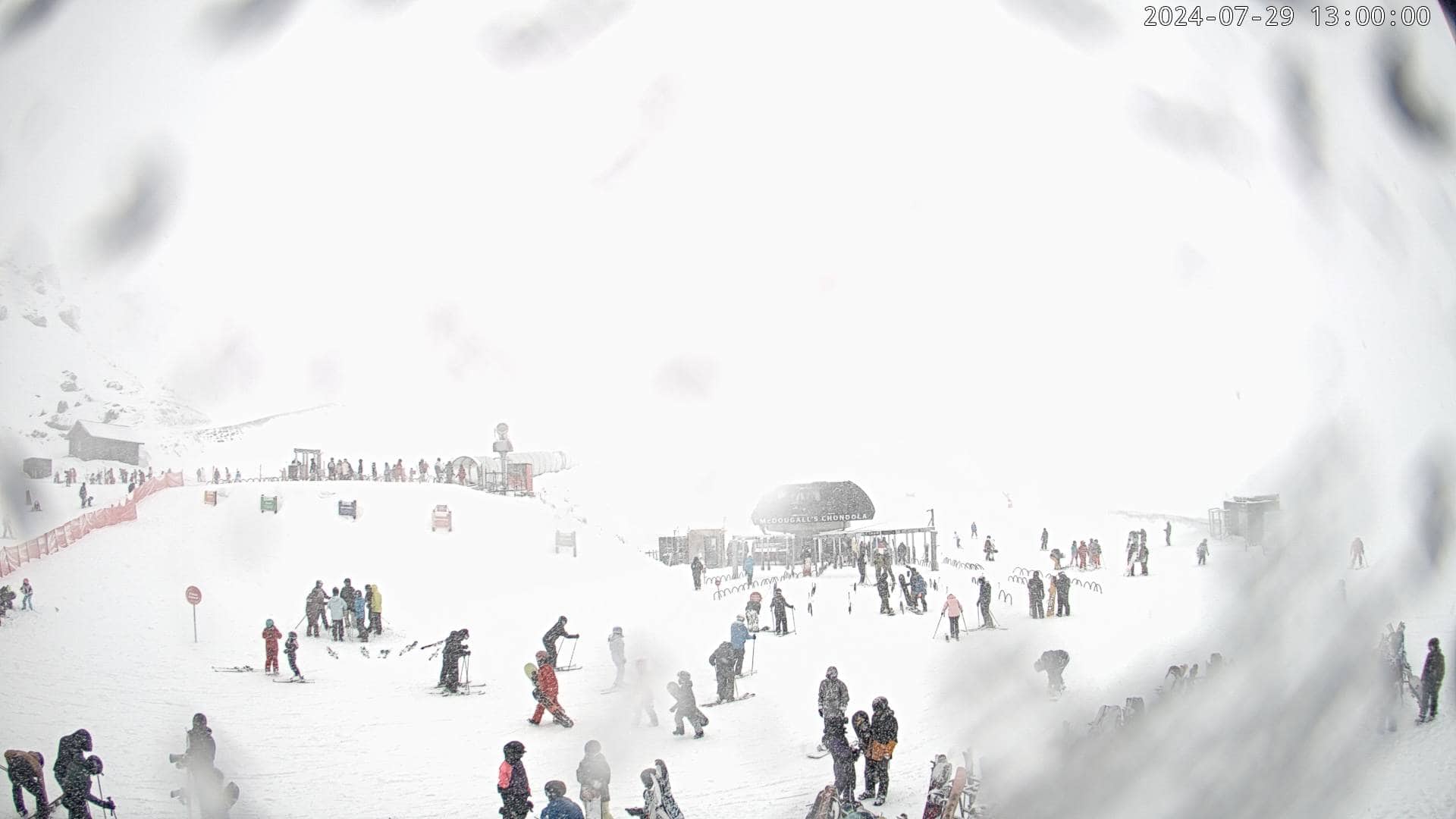
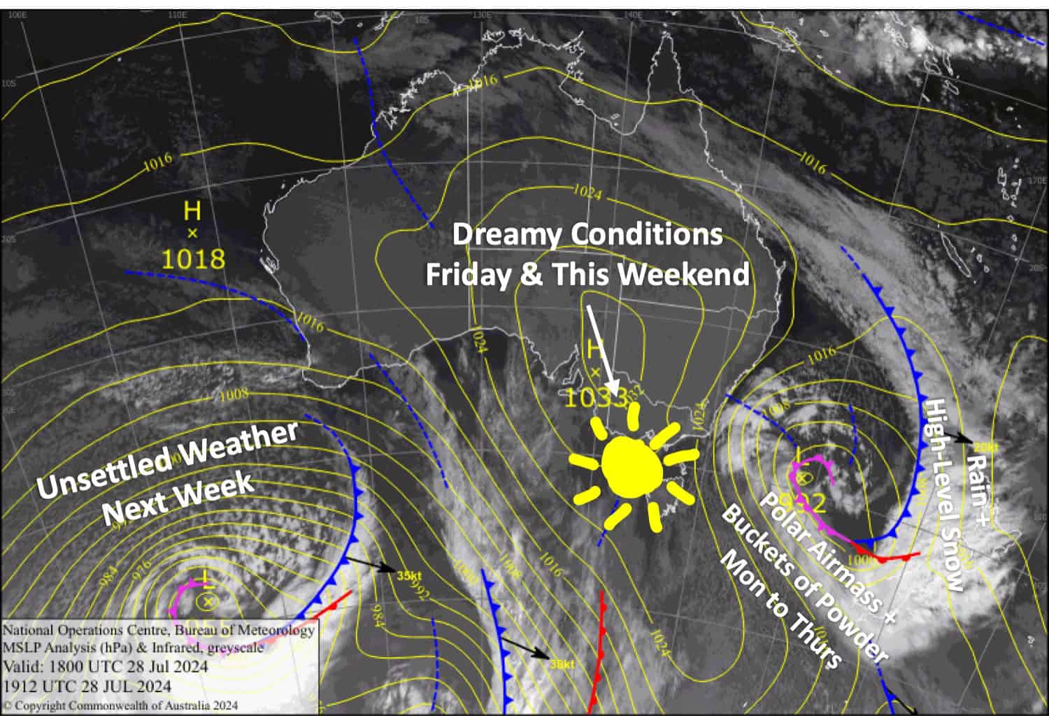
This is it, folks. The long-awaited, long-overdue winter storm is knocking on the door, and what a beauty it’s going to be.A polar airmass fresh off Antarctica will gradually work its way up the South Island over the next couple of days, turning any rain on the resorts to snow in the Southern Lakes early Monday and Canterbury early Tuesday.
There’ll be heavy snowfalls, and it’ll settle down to 300-500m, causing a little havoc on the roads but also some street jibbing and hill sledding in some of the local towns.
Snowfall will clear the Southern Lakes Wednesday morning, leaving 25-50cm of high-quality powder there, then Canterbury late Thursday, leaving an even deeper layer of 40-70cm. With clear, cold weather, the following days will be absolutely dreamy.
Monday July 29th
A big snow day for the Southern Lakes! Snow falling about the mid-upper slopes will quickly lower below base levels early morning to around 900-1100m and then to even lower levels at night, likely affecting the top of the Crown Range Road. There’ll be heavy snowfall at times with low visibility while light easterly winds gradually turn SE.
Canterbury will cop a load of rain, although it’ll fall as snow up top this morning and it’ll ease and possibly even clear for a time this afternoon as the strong, gusty NW winds also ease.
Tuesday July 30th
More snow for South Island resorts, with snow levels lowering to around 500m or less affecting roads and some towns. The snow will pin back to light snow showers in the Southern Lakes in the morning, while they become heavy in Canterbury. S-SE winds will be quite strong and absolutely freezing, so wrap up warm as wind chill will be severe.
Wednesday July 31st
Not a bad day to hit the powder in the Southern Lakes as any light snow showers left over will clear morning, leaving a brightening day as the cloud cover begins to break up. Although easterly winds will be super freeeezing!
Heavy snowfall in Canterbury will ease during the morning to lighter falls down to around 300-400m affecting some roads and towns. Freezing SE winds again.
Thursday August 1st
Freezing easterly breezes will persist for the Southern Lakes, but skies will be clear and crisp at resort height above a deck of low-level cloud.
Canterbury will remain cloudy with a few more light snow showers as freezing S-SE winds also persist here.
Extended Forecast
The weather will be mostly clear and cold for South Island resorts through to the end of the week as the storm departs the North Island and a ridge of high pressure moves up from the south. Snow conditions will be off the hook, so book it in now as things look to become unsettled again during the first half of next week.
That’s all from me today, folks. The next forecast is Wednesday. See you then, and have a great couple of days.
Grasshopper


