New Zealand Forecast Weekend Forecast, Friday July 19th – A Fiddly Forecast with Little Bits and Pieces Here & There
Mountainwatch | The Grasshopper
Published early Friday, 19th July 2024
Well, this one’s a fiddly little forecast, as only weak weather systems will affect the South Island over the next several days or more.
A weak front passing over the South Island will bring a little rain and high-level snow to Treble Cone and Canterbury Friday night. Then, light snow showers spilling over the Main Divide on Saturday could reach the Craigieburn club fields, but that’s touch and go.
Canterbury will pick up a light dusting of snow Sunday night as winds turn onshore while a weak low starts to cross the North Island. As the low peels off to the east on Monday, winds over the South Island will turn to the south, then southwest. This could push in a few light snow showers, but the more I look at it, the less I’m convinced, so I wouldn’t count on it.
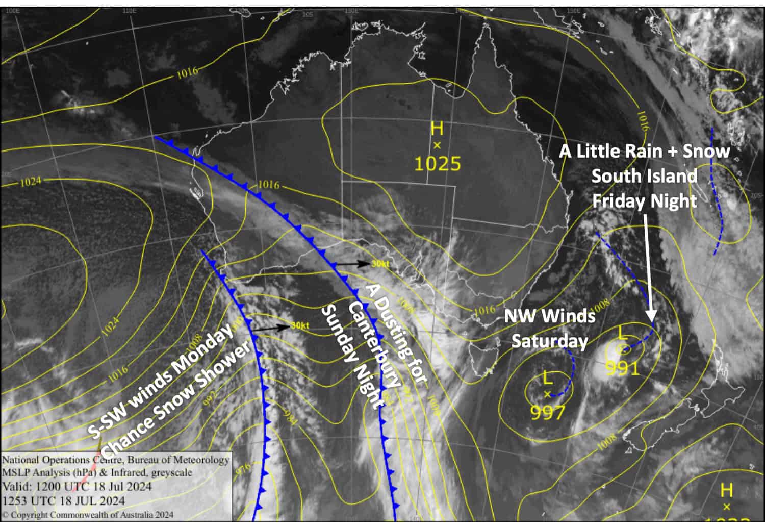
Friday July 19th
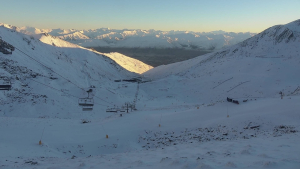
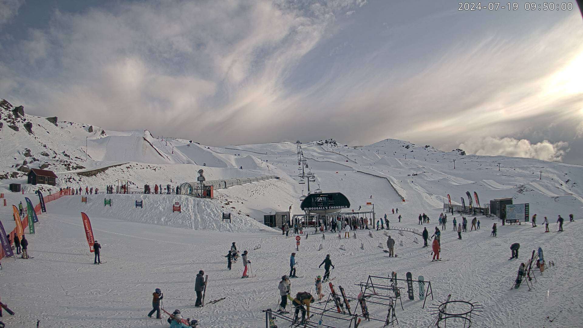
A partly sunny, partly cloudy day for South Island resorts while northerlies strengthen. There could be a drop of light rain and high-level snow at Treble Cone in the morning, then some more there evening and night, as well as in Canterbury.
Saturday July 20th
Morning cloud clears most South Island resorts, but there’s a slight chance the Craigieburn club fields could see a few light snow showers. NW winds, becoming strong and gusty in Canterbury.
Sunday July 21st
A fairly cloudy day for the Southern Lakes with a possible light morning shower of rain and high-level snow. Light NE breezes turn E-SE.
Canterbury will start out fine, but cloud will gradually build before a dusting of snow falls during the evening and night. The NW breeze dies out, and then an E-SE breeze develops.
Monday July 22nd
A bit of both sun and cloud for South Island resorts, but there is a slight chance we could see some light snow showers as S-SE winds turn SW. The winds will be quite strong in Canterbury.
Extended Forecast
Any snow that does turn up on Monday will clear Tuesday, July 23rd, but we could see a little more up high for the Southern Lakes on Wednesday, 24th, as a quick frontal flick passes over.
A more active front may move up the country next weekend, the 27th and 28th of July. At this point, it brings mostly rain, but snow could fall up high over the Southern Lakes.
That’s all from me today, folks. The next forecast is Friday. See you then, and have a great couple of days.
Grasshopper