New Zealand Weekend Forecast, Friday August 8th – Shot of Powder for the Southern Lakes & a Top-up Further North
Mountainwatch | The Grasshopper
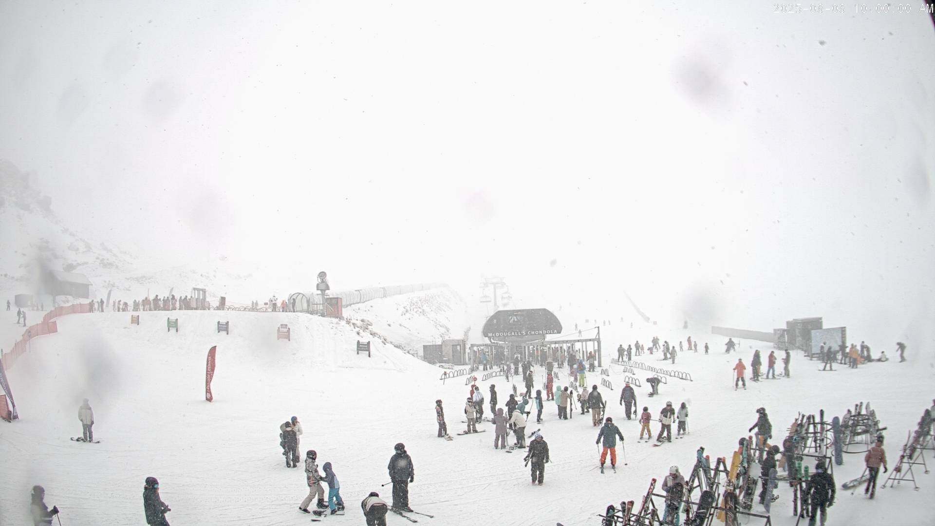
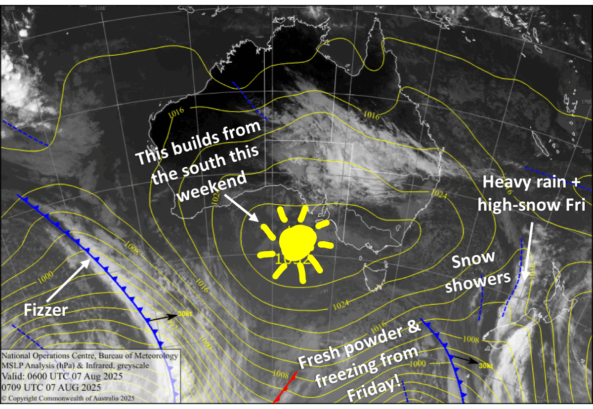
Strong northwest winds affected the South Island on Thursday, forcing Canterbury ski fields to stay closed, while an active front worked its way northwards. The front brought a mix of rain and snow to the Southern Lakes during the day and Canterbury after dark, and this morning’s reports will have the latest numbers.
The front will go on to ravage the North Island today, Friday, as a strong, cold southerly change sweeps up the South Island, giving the Southern Lakes a shot of powder and Canterbury a slightly larger top-up. The cold change also reaches Mt Ruapehu Friday night, kicking off snowfall to low levels there.
Icy winds will persist over the country till Tuesday, with snow showers in Canterbury until then. Snow will clear the Southern Lakes on Saturday, and then Mt Ruapehu late Sunday, leaving great conditions to head up the hill.
Friday 8th August
A cold, brisk south-to-southwest wind change moves up the South Island, bringing snow to low levels.
The change will go through the Southern Lakes first thing in the morning, bringing an initial shot of powder, followed by snow showers and flurries, mainly on the Queenstown side, where the highest totals of around 5cm will be.
It will then quickly make its way up Canterbury from later in the morning, kicking of snowfall there. The snow will clear the Mackenzie basin in the afternoon, then elsewhere in the evening or at night, leaving up to 10-20cm of fresh powder.
Saturday 9th August
Icy cold southerly winds persist over the South Island, pushing in cloud, as well as morning flurries for the Queenstown ski fields. Snow showers return to Canterbury about and north of Mt Hutt from around midday, where winds will be strong, with another 5cm or so accumulating.
Sunday 10th August
Freezing south-to-southeast winds over the South Island ease, allowing clouds to clear the Southern Lakes and Mackenzie Basin early. Remaining snowfall further north in Canterbury also clears early, leaving partly cloudy skies, although it’ll linger over Mt Lyford in the very north until late.
Monday 11th August
Cold southeasterlies will bring mostly sunny skies to the Southern Lakes, while Canterbury will be cloudy with a few snow showers about and north of Mt Hutt.
Tuesday 12th August
Building high pressure will see the cold southeasterlies die out over the Southern Lakes, where skies will be clear and sunny. The winds will also ease over Canterbury, but it’ll remain cloudy with lingering snow showers, about and north of Mt Hutt.
Extended Forecast
Later next week, temperatures will stay cold over the country as high pressure drifts up the country on Wednesday and Thursday. Later on Thursday and early Friday, a storm system passing west of the country may give the Southern Lakes a shot of powder. Another cold front is expected to arrive sometime next weekend, the 16th and 17th of August, bringing more snow to low levels across the country.
That’s all from me today, folks. I’m sending out these forecasts every Monday, Wednesday and Friday throughout the season. Have a great weekend, and I’ll see you back here on Monday.
Grasshopper


