The Storm of The Year – Day 1 – Storm Journal
Mountainwatch | Reggae Elliss
Looking out the window here in Thredbo, the weather has closed in again, it is snowing and you can’t see 100 metres across to the mountain. After a slow start, the “storm of the year” has definitely arrived.
This morning Mountainwatch’s snow reporters were talking about totals of 5-12cms in the Victorian resorts while the NSW resorts only had 3cms. That quickly changed around 7.30am when it snowed heavily for two hours, dropping 5cms at 1400 metres and 20cms above 1600 metres. Snow showers throughout the day added another 10cms while strong WNW winds also blew in a lot of snow. I went up around midday and found plenty of untracked boot-deep powder and looking at the forecast the best is yet to come.
At this stage we are talking 30-35cms in most resorts with the models now calling for another 60cms by tomorrow afternoon. Snow showers are forecast every day until the weekend and with max temps well below zero it is going to be a week of powder turns.
If you can get up to your favourite resort this week, do it.
Stay tuned for daily updates as the storm progresses.
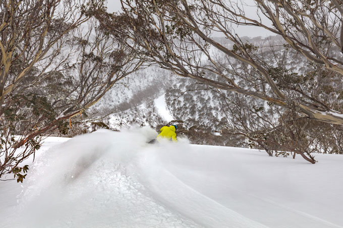
Better visibility in the trees. Mt Hotham
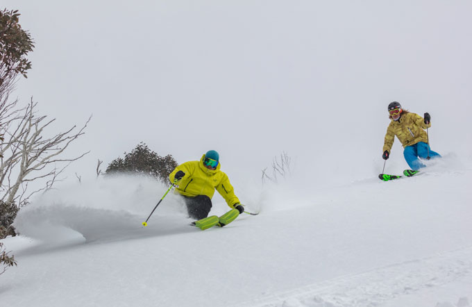
Locals getting the best of the blizzard. Mt Hotham
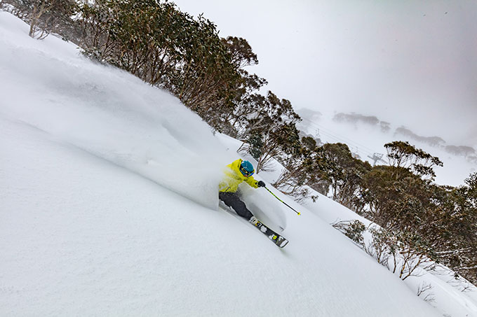
Hard to believe it’s Spring! Mt Hotham
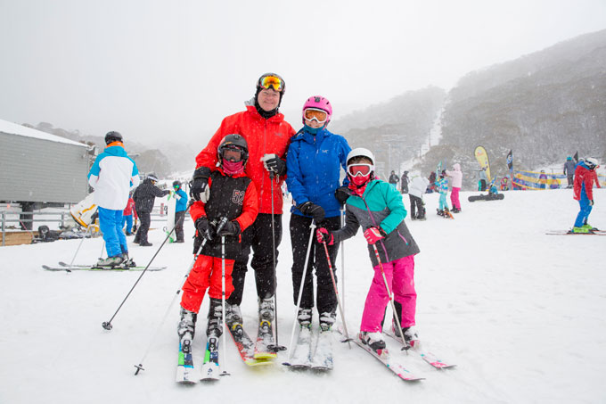
VERY happy family! Thredbo

First lifts are everything on a powder day! Thredbo
Perisher forecasts,
snow reports and
live snow cams.
Falls Creek forecasts,
snow reports and
live snow cams.
Mount Buller forecasts,
snow reports and
live snow cams.
Charlotte Pass forecasts,
snow reports and
live snow cams.
Thredbo forecasts,
snow reports and
live snow cams.


