World Snow Wrap, December 1st, 2024 – November Powder Days in the US and BC, First Real Storm for Japan and More Snow on the Way in Europe
Mountainwatch | Reggae Elliss
Welcome to the first world snow wrap for the 2024/25 northern hemi winter and there has been plenty of action over the past few weeks. Parts of North America have seen a tonne of snow and some of the best early season powder days in years, while recent snowfalls have set things up nicely in Canada. Europe has also had some big falls while the first real storm of the season hit Japan a couple of days ago. Lets’ dive in for some details.
USA
While the early November focus was on Trump’s win in the presidential election, we’ve seen more positive news from the mountains in recent times weeks with some epic snowfalls and some of the best November powder days in years. Resorts in Colorado, Utah and California have received big falls in the past week with Aspen Snowmass and Vail reporting 90cms, Alta, 58cms and Mammoth 75cmd. That 75cms for Mammoth came on the back of another storm that dropped 45cms last weekend, taking the November totals to just over 1.5 metres and the mountain is open top to bottom.
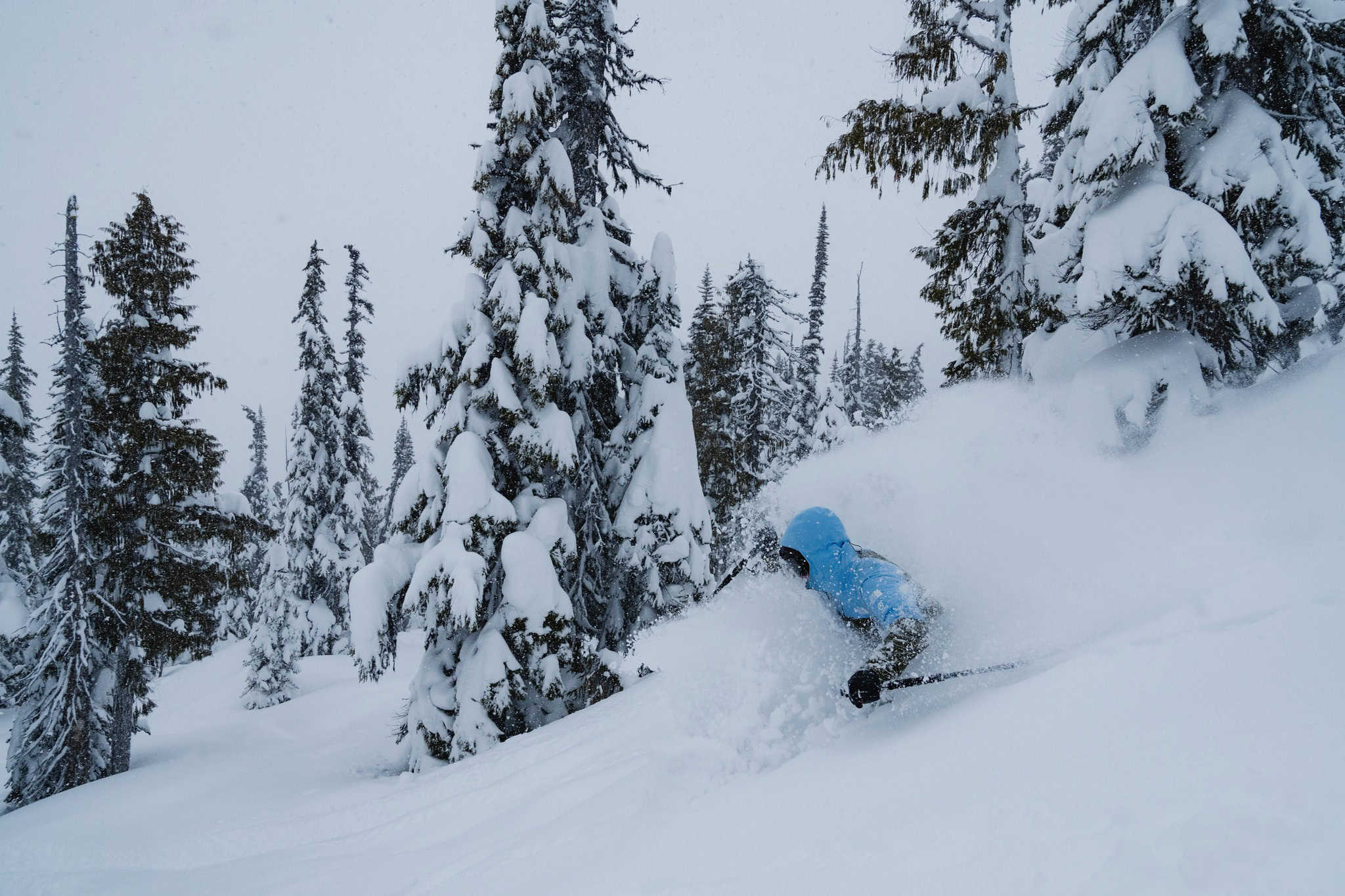
The week before a very strong storm hit the Pacific Northwest and extended up into Canada and Mt Baker saw heavy snowfalls with 226cms in a two-week period from Nov 12- 24 and now has a massive November total of 2.9 metres!
The November storms were perfectly timed with a quite a few resorts in the US opening in the past couple of weeks including Aspen, Vail, Alta, Palisades Tahoe and Heavenly. Jackson Hole opened yesterday, and more resorts are set to open over the next two weeks.
After an active back half of November, things have settled down with dry weather for much of the western US over the next 10 days, with potential for a stormier pattern mid-December. Stay tuned for the Grasshopper’s first weekly North American forecast this Thursday
Canada
After a slow start last year, early season conditions are looking good for resorts in BC, thanks to a couple of mid-November storms that created a decent base in most resorts. A strong storm hit the Coast Mountains that dropped a season-starting 180cms over the 10 days leading into Whistler Blackcomb’s season opening on Nov 22, setting things up nicely going into December.
While resorts further inland didn’t see the big snow totals that Whistler received, consistent November snowfalls saw Big White, Silverstar and Sun Peaks open with good conditions last week. More BC resorts are due to open soon including Fernie and Revelstoke which opened this weekend while Kicking Horse and Whitewater open Dec 6th.
In Alberta the Canadian Rockies picked up 10-20cms last weekend which saw more lifts and terrain opening, including in Laker Louise which opened back on Nov 5th. Banff Sunshine, Nakiska and Marmot Basin have also opened while Castle Mountain opens on Dec 6th.
There’s not much action in the forecast for resorts in both British Columbia and Alberta with a few light snowfalls in BC this weekend before high pressure dominates the weather for western Canada bringing clear conditions over the next two weeks. Make sure you check the Grasshopper’s forecast on Thursday for the latest update.
Japan
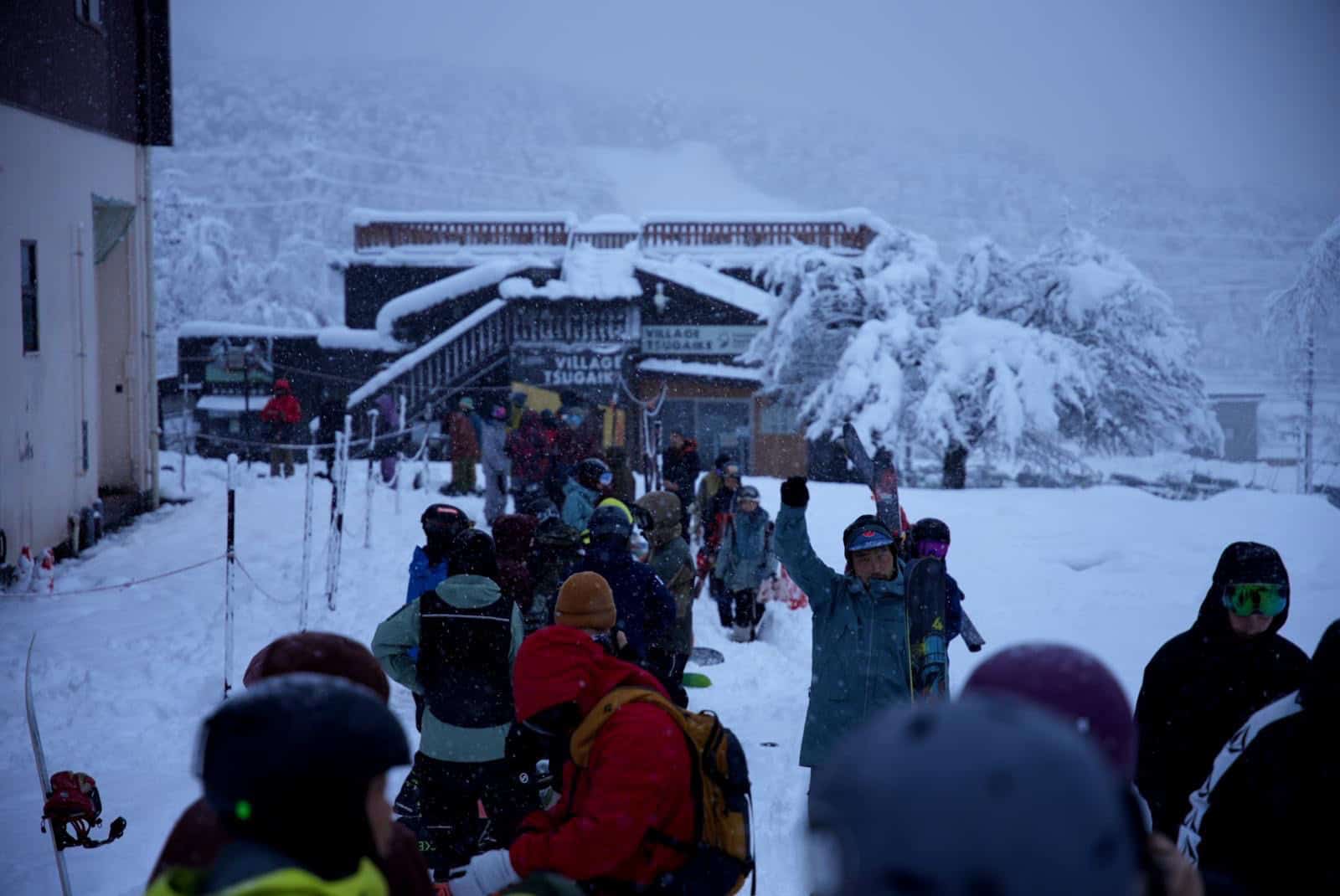
It has been a matter of watch and wait in Japan with minimal snowfalls over the past month and a guessing game as to when resorts would open. Fortunately, a storm came through this week with good snowfalls across Hokkaido and Honshu, Niseko receiving 40cms at the base while resorts in Hakuba reported 40cms at the base since Friday and up to 780-cms at higher elevations.
A few resorts in Hakuba opened some lifts yesterday while lifts in Niseko opened today. Myoko missed the brunt of the storm with only 9cms over the past week with December 14 the tentative opening date. The forecast is for milder weather in Hokkaido for the next couple of days, so potential for rain at the base in Niseko before colder temps and more snow later in the week, with 30cms in the forecast while Furano could receive over 20cms.
A storm is also due for resorts on Honshu this week the forecast calling at healthy 28cms for Hakuba but 5-10cms for Myoko and Nozawa. The Grasshopper will have more details with his first weekly Japan forecast on Thursday.
Europe
Thanks to a series of pre-season storms, early season conditions are looking good across Europe with more resorts opening weekly. Cold temps accompanying a storm last week saw snow fall down to low elevations in the Alps in Austria, St Anton receiving 71cms over a three-day period while resort in Italy’s northern alps reported totals of 20-50cms. It was a similar story in Switzerland with Verbier receiving 30cms.
Snow is forecast this week with lighter falls mid-week ahead of a stronger storm that could deliver good snow totals in most regions the Alps, with St Anton (opening Dec 4) expecting 52cms, Val D’Isere 35cms and Verbier 25cms. Resorts in Italy’s Dolomites will also see some snow, but the totals will be less, Cortina D’Ampezzo expecting 10cms mid-week.
Unfortunately, the weather has been dryer and milder in the Pyrenees and there hasn’t been much pre-season snow and any open resorts are operating on a limited cover. However, a storm is also forecast next weekend, with potential for 30cms in Andorra.
Where We’d Like to Be This Week
Mammoth Mountain. It has had a heap of snow, is top to bottom with plenty of terrain open this early in the season and cold temps this week will keep the cover in great shape for some early season turns.
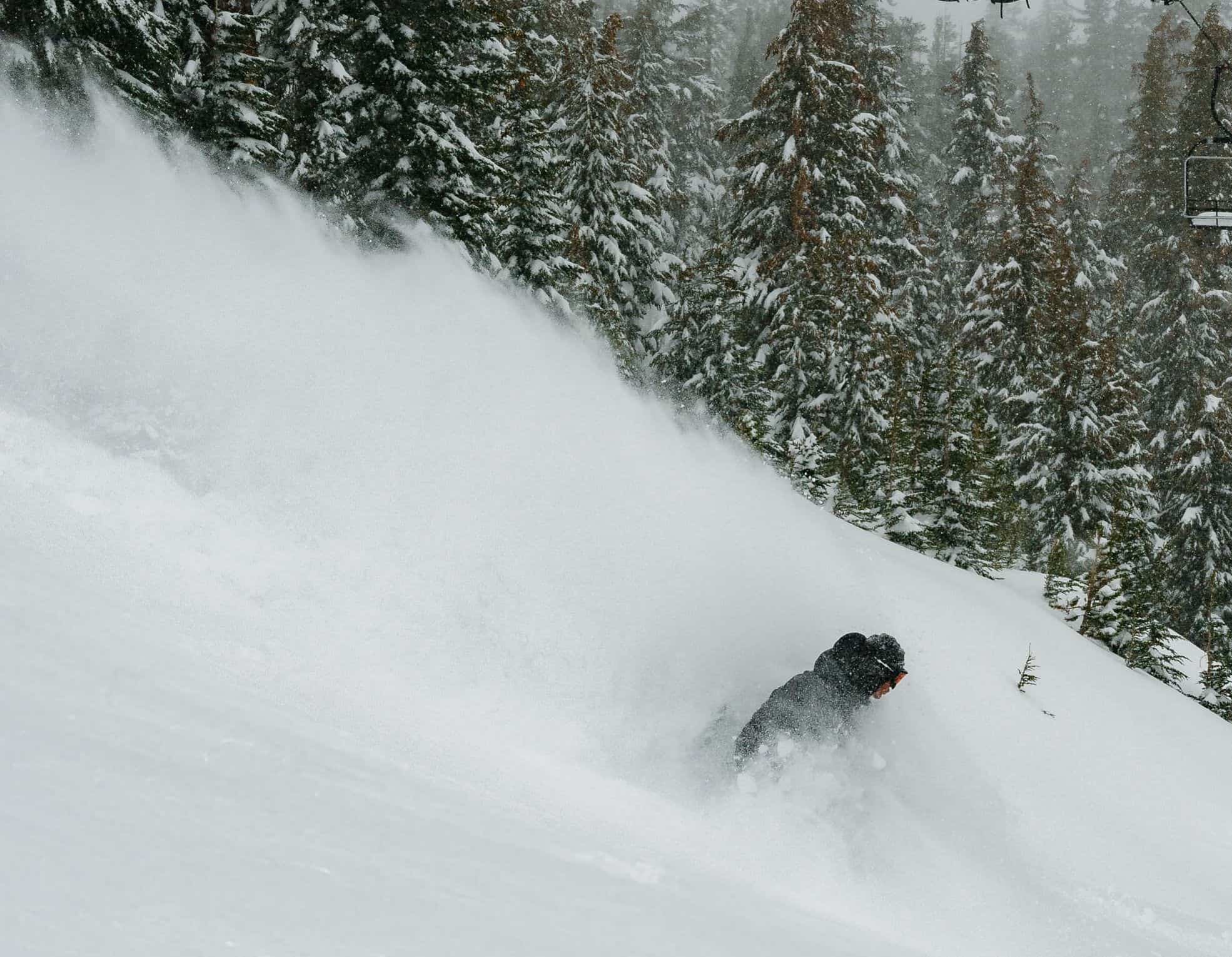
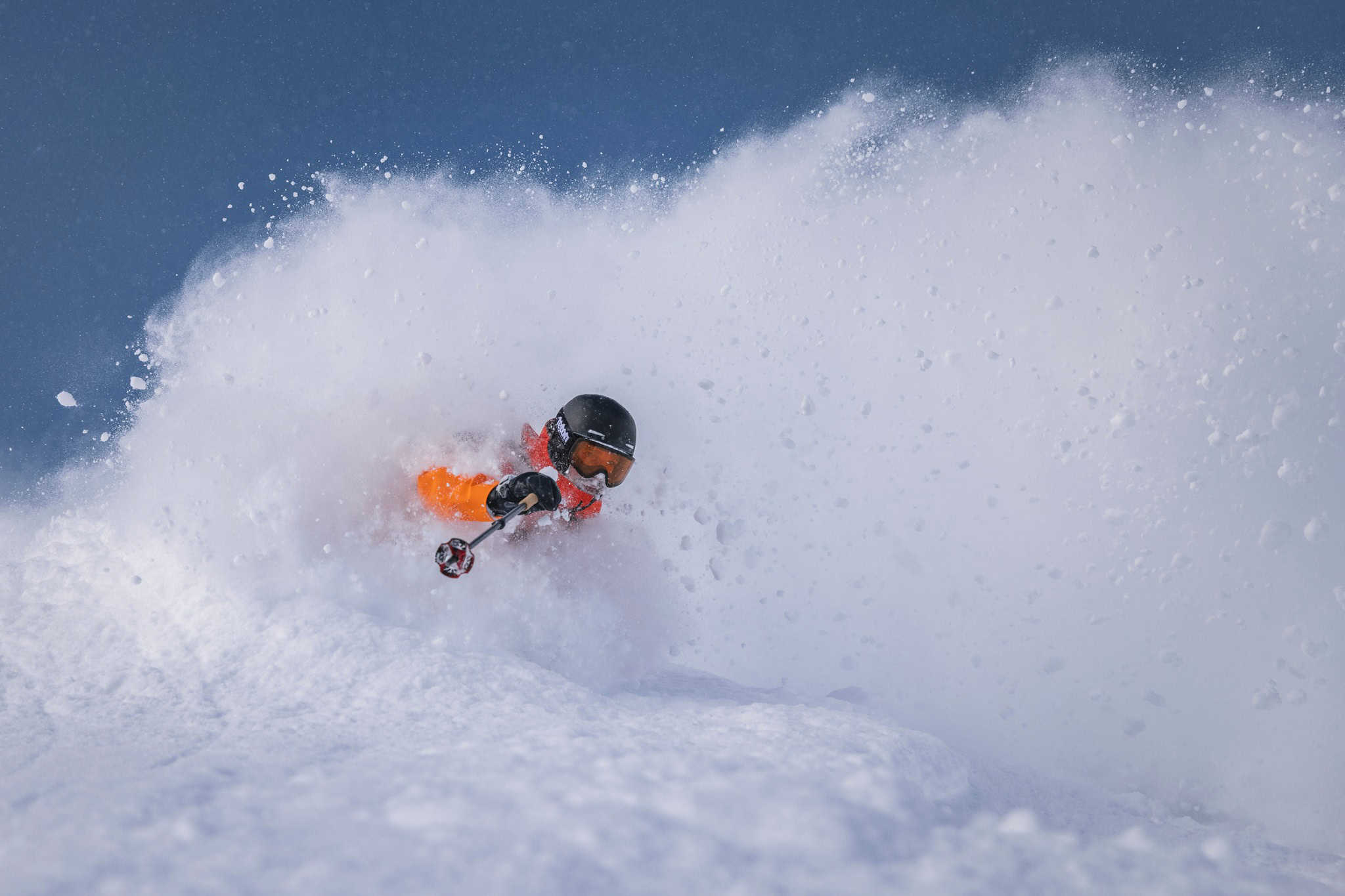
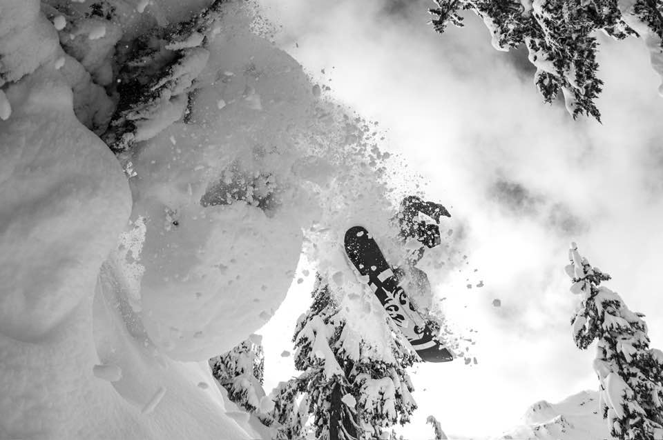
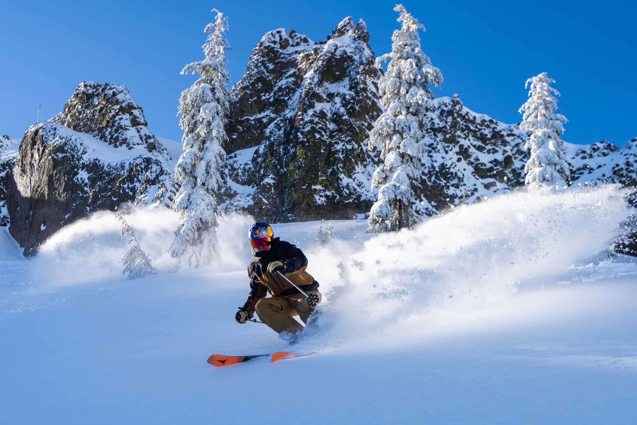
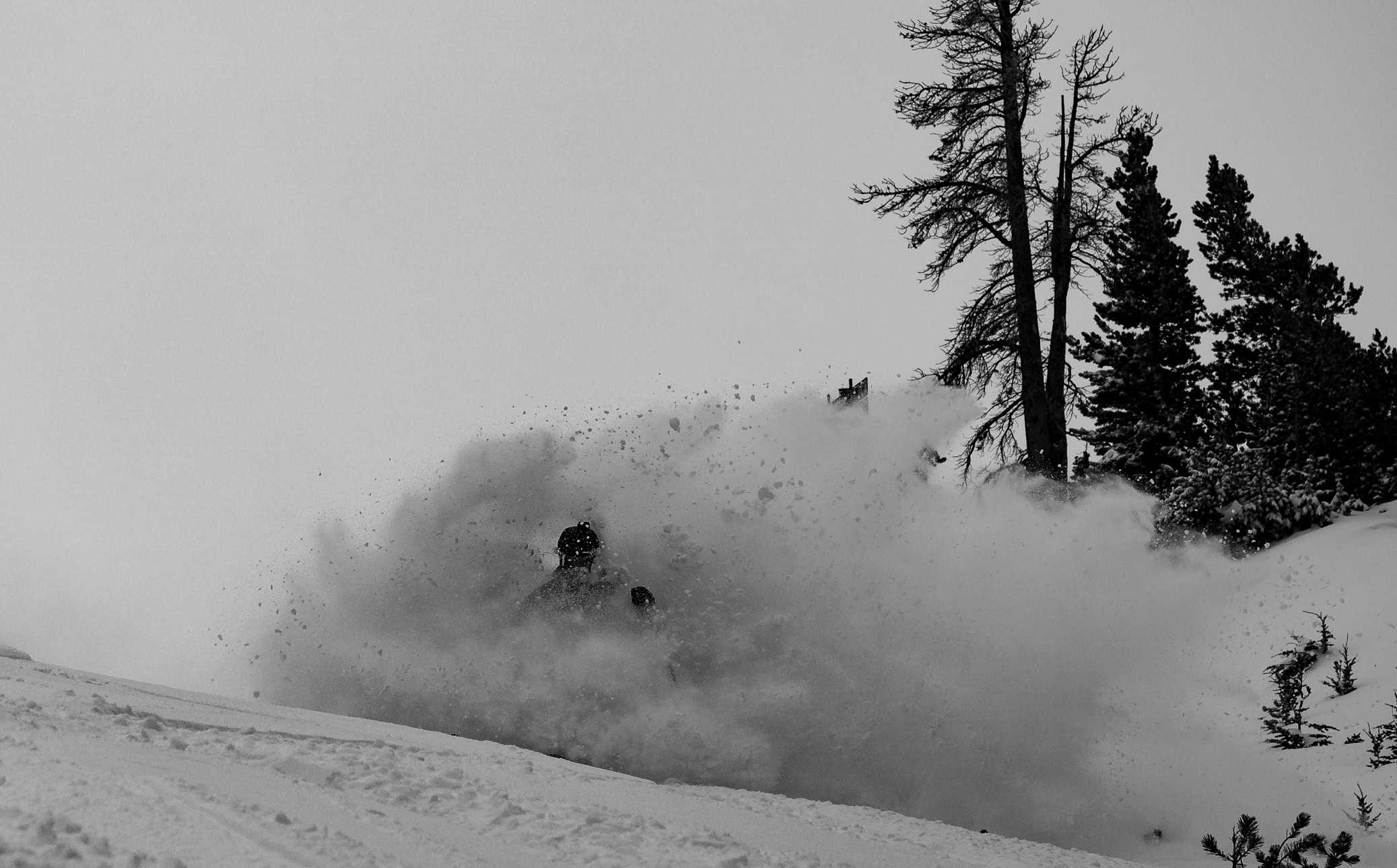
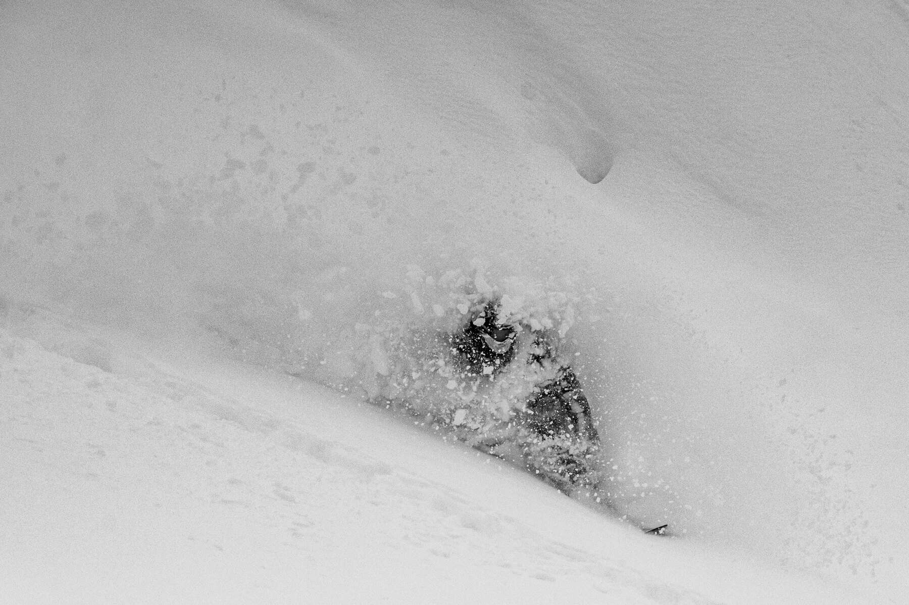
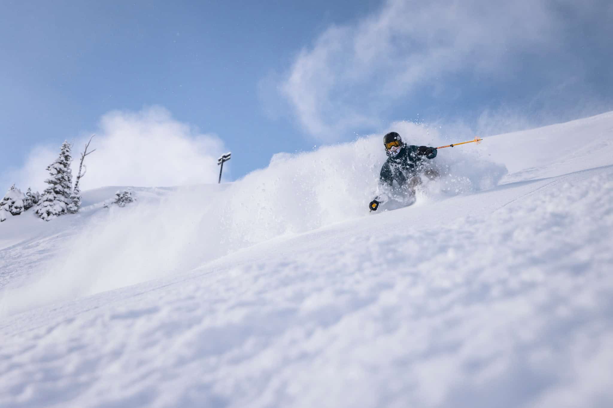
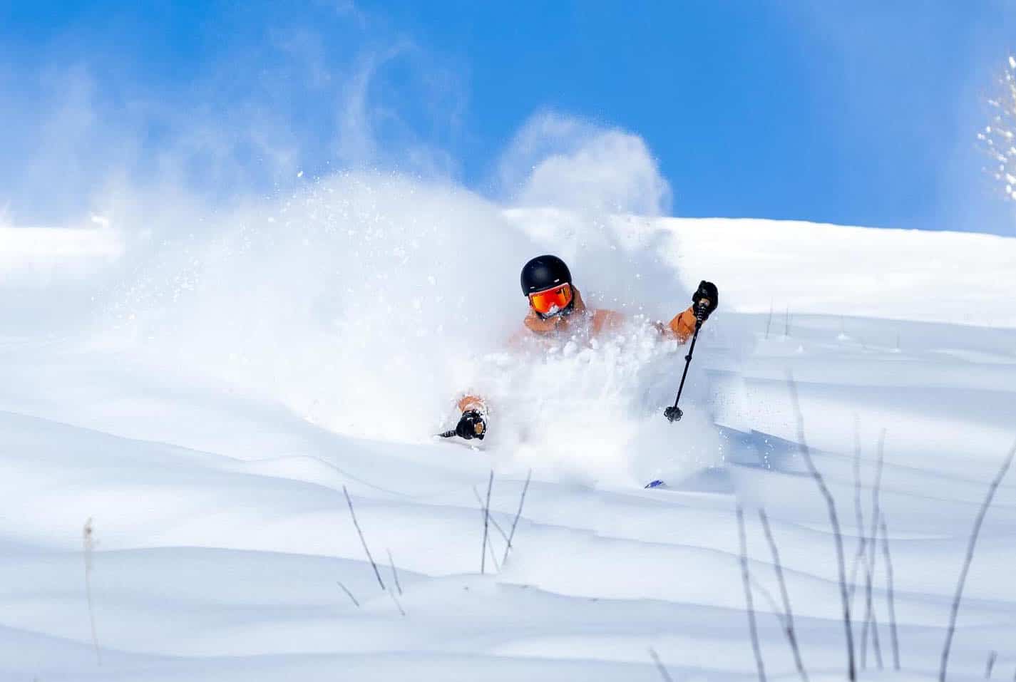
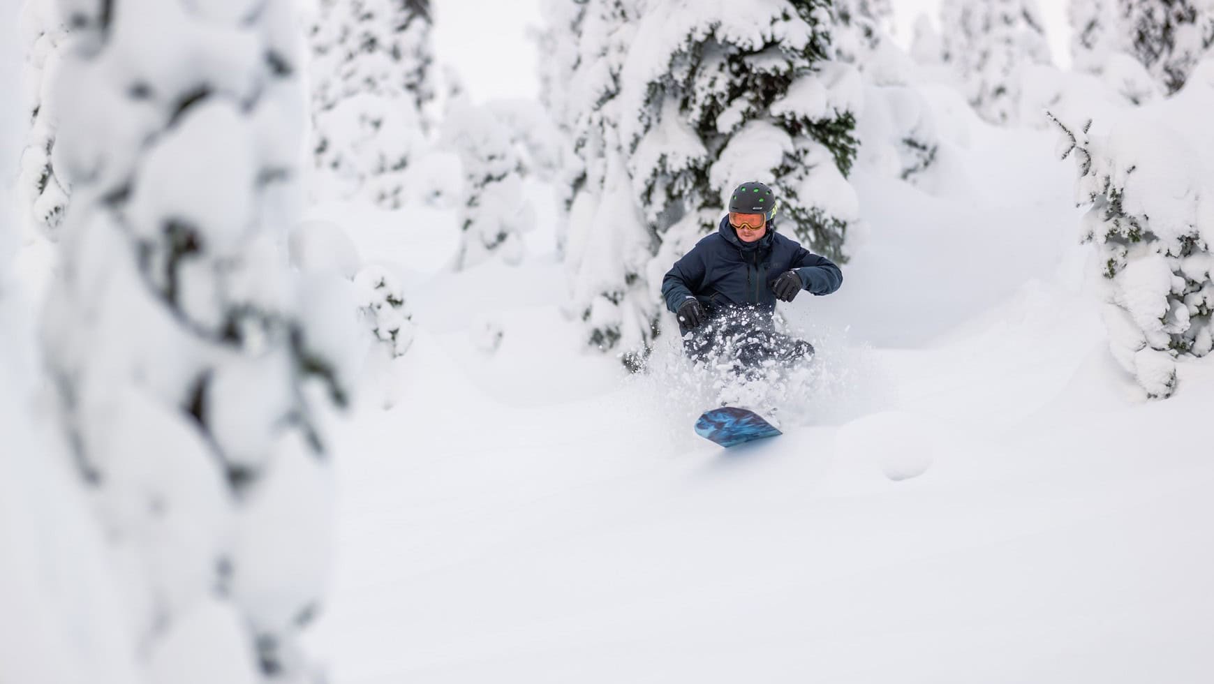
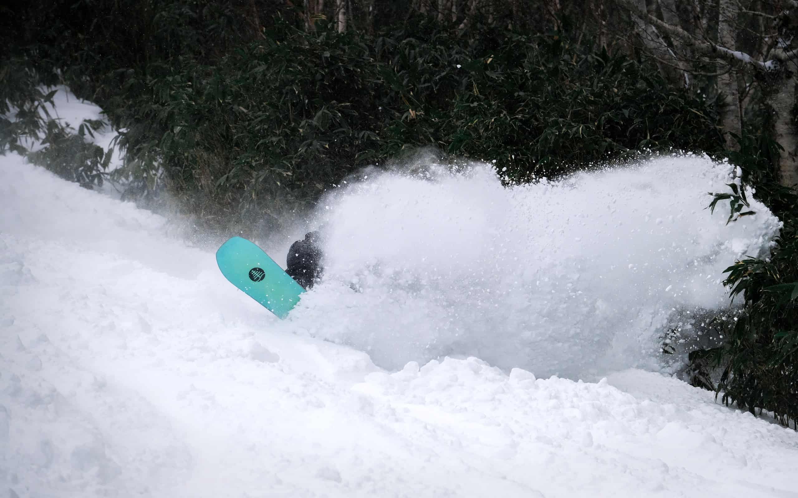
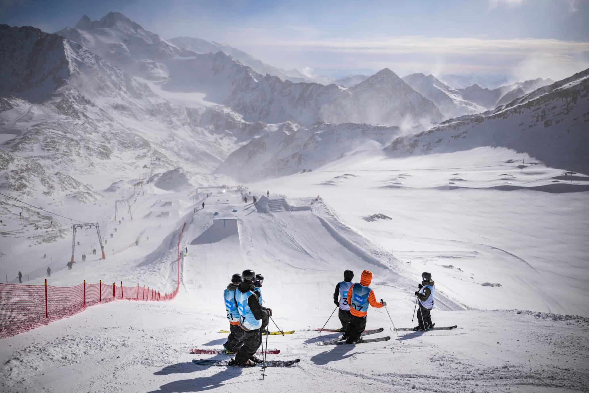
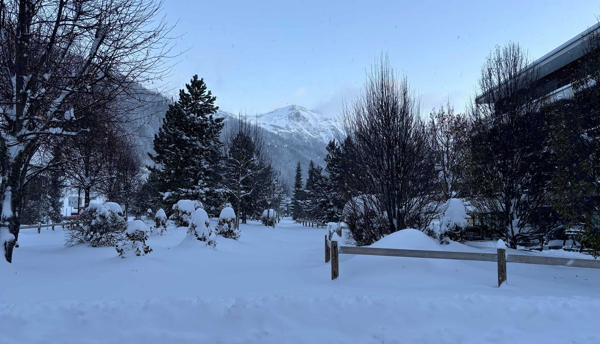
And a few more photos to tied you over until the next World Snow Wrap in a couple of weeks.