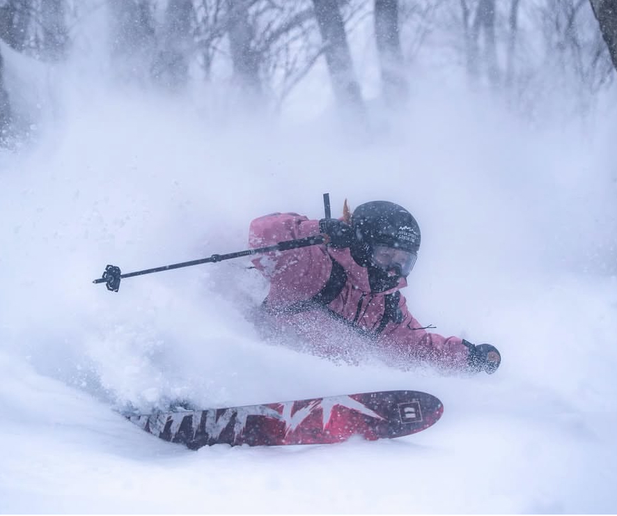
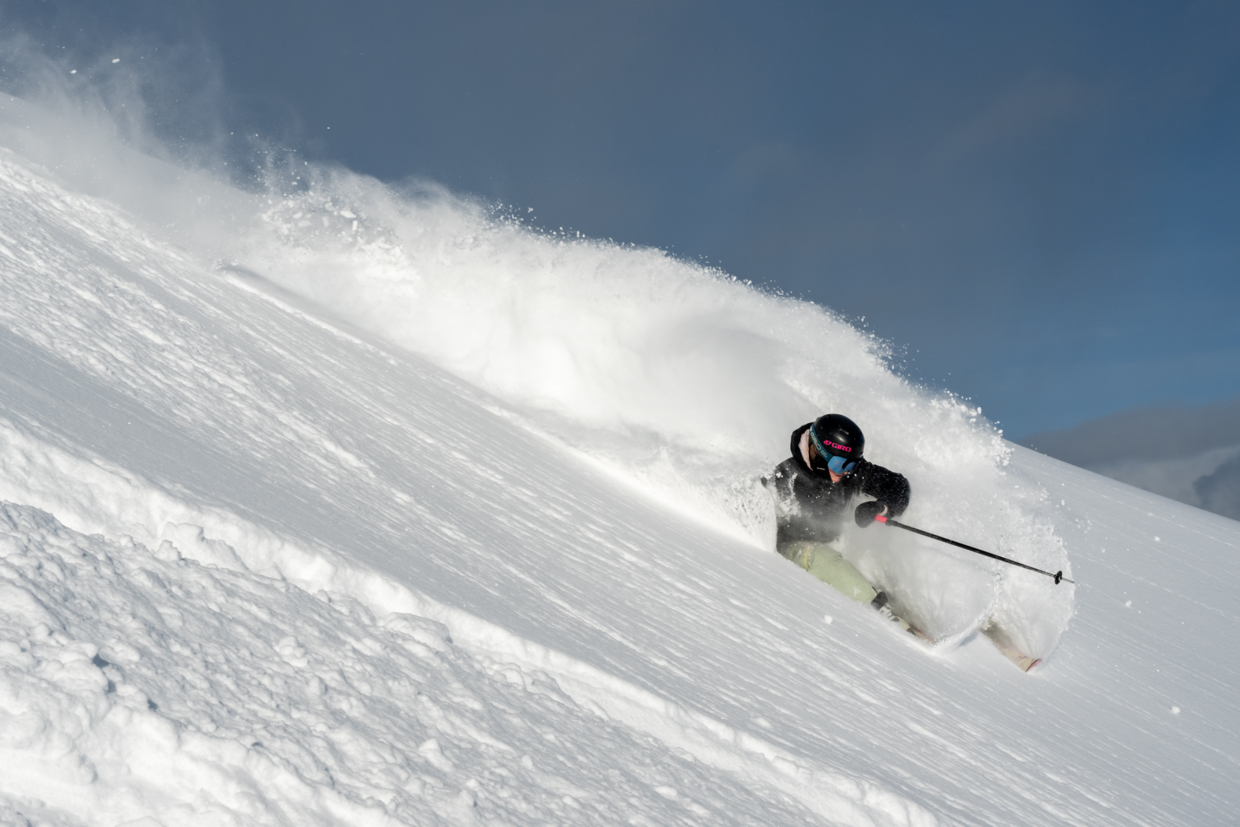
World Snow Wrap January 18th,2026 – Snowfalls Continue in Japan, Settled Conditions in North America, Heavy Snow and Avalanches in Europe.
Mountainwatch | Reggae Elliss
There has been a bit of everything across the northern hemisphere over the past two weeks with significant snowfalls in Japan last week and there is more on the way. In North America resorts in the US Rockies received some much-needed snow last week but it has been dry since while the consistent snowfalls in interior British Columbia have slowed down. An extended dry spell in the European Alps finally ended last week with heavy snow across most regions, although with an unstable snowpack and dangerous avalanche conditions.
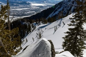
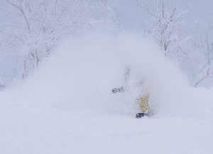
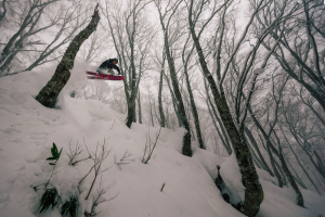
Japan
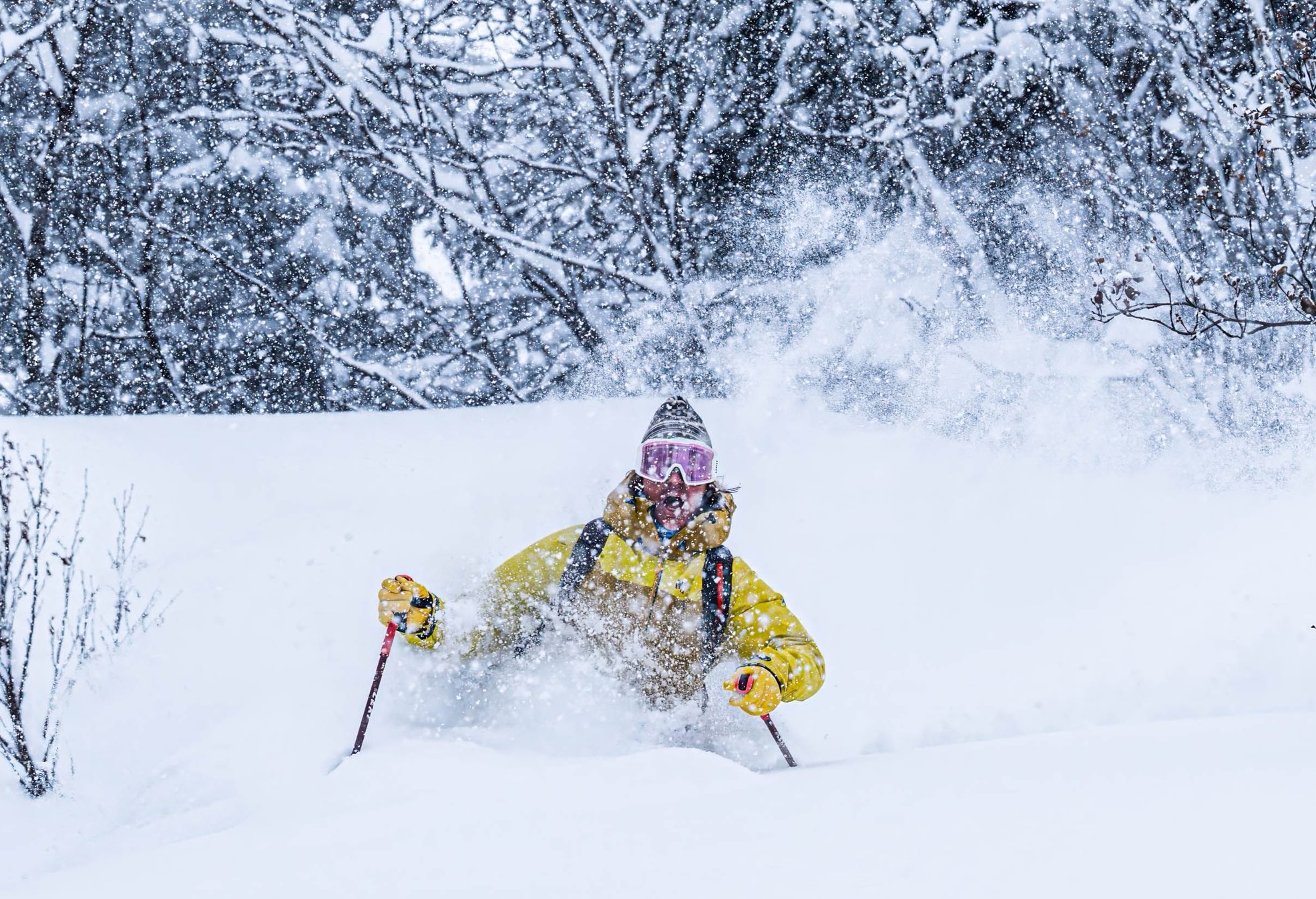
It has been a big couple weeks in Japan with a solid multi-day storm dropping significant snow across resorts in both Hokkaido and Honshu. Cold temps accompanying the storm resulted in some awesome powder days, although strong winds did impact upper lifts at times. While snowfalls eased in Honshu over the past few days, it has been consistent in Hokkaido and Niseko has a two-week total of over 200cms while Furano has received 115cms.
On Honshu there were some big falls the previous week, Myoko receiving 60cms on January 6th followed by another 64cms on Jan 9th and 41cms on Jan 12th. Nozawa Onsen has also had decent snowfalls which have helped fill in some of the better tree runs but the more advanced terrain still needs more snow. It is a similar story in Hakuba which received 80cms in the past two weeks and while the backcountry and higher elevations are in good shape, terrain at lower elevations also needs more snow.
The good news is that snow is on its way with another big storm due on Monday. In his latest forecast the Grasshopper described it as a “long and strong storm that’ll dump a massive load of Japow over the country from early Tuesday.” This storm will favour Central Honshu with 60-70 cms in the forecast for Hakuba and Myoko while further north Niseko should see 30-40cms with snow falling most days.
Canada
After what seemed non-stop snow for resorts in Alberta and Interior BC, things have settled down over the past week. Kicking Horse had another good powder period from Jan 4thth with daily totals of 15-20cms but totals were more modest elsewhere, Revelstoke receiving 15cms on Jan 9th. A storm earlier this week favoured resorts in Alberta, with 21ins falling in Lake Louise last Monday/Tuesday.
A storm crossed the Coast Mountains last weekend, Whistler Blackcomb received good totals on the upper mountain with a two-day total of 60cms.Hoewever the storm dragged in a lot of warm air and temps and freezing levels rose with rain to the peaks on Monday. That storm also brough wet conditions to Revelstoke and Big White before colder temps resulted in snow at higher elevations on Tuesday.
Since then, the weather has been settled with plenty of sunshine and mild temps. That is set to continue over the next week for much of western Canada, although temps will be freeing further inland, Lake Louise heading for a max day time temps of -22 degrees.
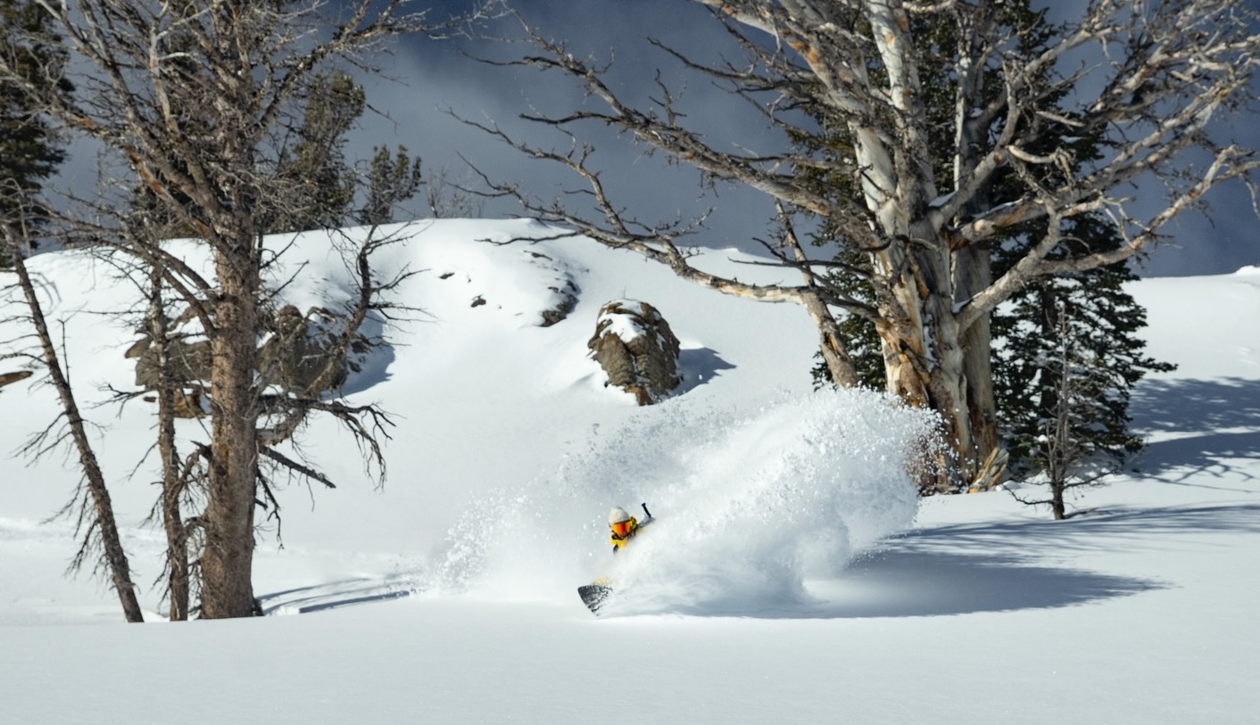
USA
The lean winter continues for much of the US, particularly in Colorado where snow depths are at a record low for mid-January. However, a much-needed storm did drop snow last week with Aspen picking up 30cm on the 6th another 15cms on Jan 9th and it was quality light snow offering rare powder turns for this season. That storm dropped better totals in Utah with 60cms falling in Alta and Snowbird on Jan 8th-9th while in Wyoming Jackson Hole received 50vms. Since then, it has been fine for most resorts in the west, with the next snow likely late next week.
In California another big storm crossed the Sierras in the first week of January, Palisades Tahoe receiving 127cm over a six-day period from Jan 3rd-9th, including 50cms on Jan 5th. Mammoth Mountain also fared well, picking up 90cms over the same period. The past week has been dry across the Sierras and that is set to continue for the next 10 days.
The forecast for most regions in the western US is for high pressure to dominate the weather with dry conditions and above average tempos at lower elevations. Long term the next chance of a storm is around January 25th.
Europe
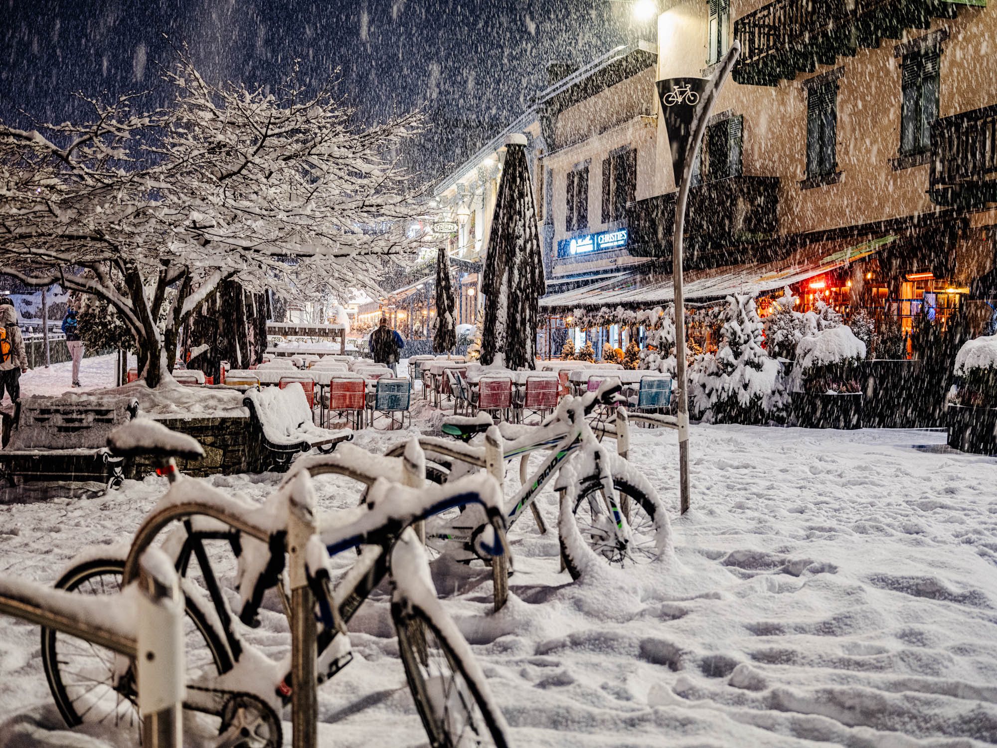
After an extended dry period, snow finally returned to the European Alps last week and there were some big snowfalls totals across most regions. In France resorts saw 40-80cms in 24 hours on January 9/10th with Chamonix receiving a metre at higher elevations. It was a similar story in Switzerland, some resorts reporting totals of metre, while Verbier received 72cms last weekend.
Austrian resorts also received good snowfalls, At Anton reporting 70cms while in the Italian Alps received 40-60cms. There were strong winds at times with the storm, which along with fluctuating temps created an unstable snowpack and high avalanche danger. Unfortunately, there were several avalanches which resulted in six fatalities.
The weather cleared earlier in the week, allowing the snowpack to stabilise and there were very good conditions in most resorts. Another storm is underway now in the southwestern Alps and the Pyrenees with potential for 40-70cms for resorts in those regions
Where We’d Like to Be This Week
Honshu. There’s another big storm on the way and a heap of resorts to choose from.