Snow alert South Island NZ, July 26, 2012 UPDATED
SNOW ALERT by The Grasshopper
Brought to you by ESS Boardstores
Updated Monday 30 July
Snow Likelihood rating: Somewhere between “Gee that’s exciting” and “Holy Crap, look at the size of that thing”
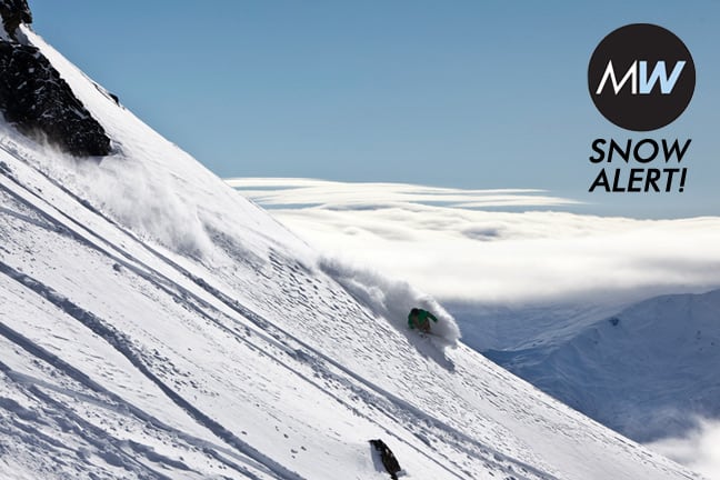
It’s snowing across the lower South Island and the Mountainwatch model is excited about prospects for Mount Hutt. Here’s an excerpt from the Grasshopper’s latest forecast:
“We are seeing bits and pieces already but the real action will kick off this afternoon, almost simultaneously for both the Lakes and the Canterbury High Country, resulting in 15 to 30cm by midnight. A south-easterly then turns into a bit of a monster. It’s unclear exactly where it will unleash its fury, but there’s decent agreement that parts of the Canterbury High Country could get smashed with another metre of snow through Tuesday. A little further out, and a little less certain, it looks like another wave of atmospheric instability will break across Canterbury on Wednesday, possibly bringing another 30 to 50cm of snow.
Read more here:

Mount Hutt forecasts,
snow reports and
live snow cams.


