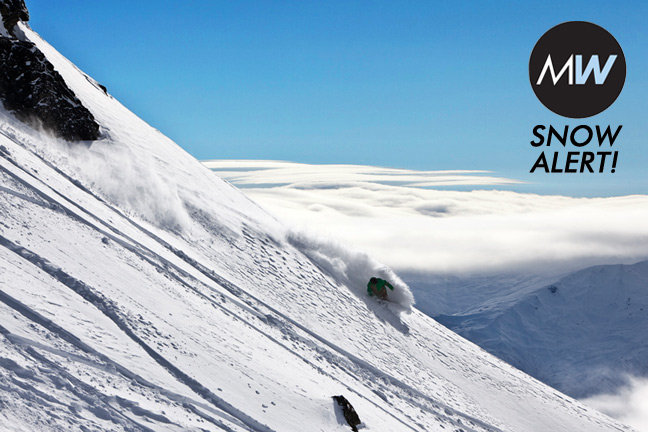
SNOW ALERT – The dump of the season so far for NISEKO?

SNOW ALERT
Snow alert level: Looking tasty at this stage.
So what’s all this fuss about? Well we’ve got a cut-off upper-low circulation (about five kilometres high in the atmosphere) drifting over Siberia and north-east China. It’s tipped to pass north of Hokkaido from Sunday into Monday, and will be herding a surface low ahead of itself in roughly the same direction, sucking its central pressure down to 976 hectopascals. Meanwhile, a ridge of high pressure near Beijing will be weighing in around the 1030 hPA mark. That massive pressure difference spells a bitterly cold westerly outbreak for Japan, and particularly Hokkaido, as the air tries to flow from high to low pressure, but is turned to the right by forces related to the spin of the earth. Freezing levels will literally fall through the floor, with sub-zero temperatures at sea-level.
As this cold, very dry air crosses the Sea of Japan it will pick up moisture and deposit it as piles of fluffy white goodness around Niseko. At least that’s the plan. A word of warning that we’re still five days out from this event, so a lot could change. But this has the potential to be a very decent event, and I reckon about half a metre is a reasonable estimate from Sunday through to Tuesday.
Niseko forecasts and snow cams.
Niseko forecasts,
snow reports and
live snow cams.


