AUSSIE WEEKLY SNOW JOURNAL – Back to Winter then Back Again..
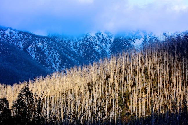
Twilight in Falls Creek Image::Courtesy of Hocking
Aussie Weekly Snow Journal | Alex Horvath
Well, it finally happened. After we were left sitting around for the month of august wondering where all the snow was, the weather finally turned and some good quality snow hit the ground. While it wasn’t deep it was the driest we have seen for a while and the snow quality remained high throughout the weekend.
Depending on where you were the totals varied. Victoria was hit first and and picked up 5-10 cms or so through to Saturday night. NSW saw snowfalls on and off right through to Sunday, and the final accumulations were around the 10 cm mark. The cold chill was felt all the way north far past the mountains with that cold southerly air feed dropping temperatures back to single figures.
Fresh lines at Thredbo on Sunday Image::Courtesy of Thredbo
The resorts took full advantage of the cooler temperatures at night time cranking out the last few cubic metres of man-made snow to fill the holes and try to consolidate the high-traffic areas to last through to the October long weekend. Word on the street is that most resorts are finished snowmaking for the season though I guess you never say never, if things cool down again we might be lucky to get one last blast to freshen things up.
Now that we are well and truly into September we are likely to see the typical spring pattern of weather that oscillates between sunny and warm days, cool nights and the occasional rainy days that are better spent at the bar. This pattern is due to the westerly fetch that dominates at this time of year leading to fronts becoming entrained in the flow and limping over the mountains producing some rainfall. Keep in mind that historically we can still see significant snow events to low levels right through to mid October so hopefully we can get one more storm before the boots are hung up for another year.
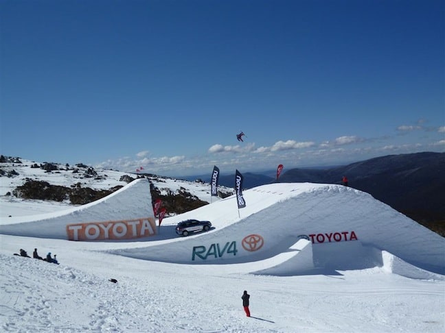
Bobby Brown sending it over the 100ft One Hit Wonder jump Image::Courtesy of Thredbo
Weather for the remainder of the week
A trough of low pressure is going to move across the southern mountains on Friday although it is looking like it will be insignificant only producing some cloud as it cruises by. The High that is centred over the east coast at the moment is rather precariously positioned over the weekend, it is going to drag a lot of very warm air down from the northwest heating things up even bringing 30°C days to Sydney! This means that the air will be very warm and freezing levels will be closer to the stratosphere then the mountains. A trough of low pressure is going to be sandwiched between two highs later on Saturday and it is probably going to trigger some instability and showers over the mountains. Available moisture is pretty low so it won’t be a lot of rain but combined with warm temperatures there is a danger of snow loss.
Monday and Tuesday look to be getting windy and wet as a front passes over the bight then over Victoria and Tasmania, it is likely to bring some rain, making conditions pretty ugly. Time will tell, this one is still a fair way out.
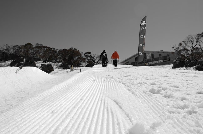
Perisher’s pipe is super fun in the Spring Image::Courtesy of Perisher
Resort breakdown
NSW
Perisher A bluebird spring day in Perisher today and this pattern should hold out until Friday morning as some cloud moves in. The wind is moderate today and tomorrow so head high and go hunting for some windblown stashes that are likely to have blown in off the main range.
Thredbo The best snow for the next few days will be found up high around the t-bars and merrits in Thredbo. Keep an eye out for terrain that catches windblown snow such as around the bluff/waimea. As usual in spring get out the early before the sun softens it up.
Charlotte Pass Some lifts may be on wind hold today in Charlottes so make sure you check lift status, exhibition and kosi coaster will be the pick early so don’t waste time sipping lattes!
VIC
Falls Creek Sunny days in Falls today and tomorrow, melt-freezes will keep things firm early so better to head out sooner rather then later as the sun heats things up. The resort is spending lots of time carefully grooming at the moment so take advantage of morning corduroy.
Hotham Sharpen those edges and get out for some morning burners! The sun will soften things up rapidly so maybe have a late start if you want some slushy slashes throughout the day. Groomers are the only option at the moment so check out Big D and Sun Run.
Mt Buller Unfortunately this sun and warm weather on the way is not going to help Buller’s sensitive snow pack this weekend. Im not confident they will have much left after the next week or so so get up there soon to make the most of it! Little Buller Spur has a new park shaped so that will be the place to be over the next few days.
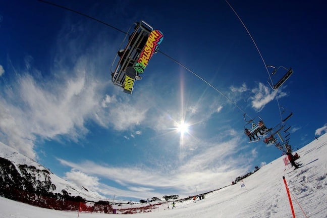
Sunny park laps in Falls… Image::Courtesy of Hocking
EVENTS THIS WEEK:
- Mt Buller is offering free skiing for kids from September 17
- The Sony Playstation Night Slopestyle final will be held in Perisher’s front valley on September 17
Perisher forecasts,
snow reports and
live snow cams.
Falls Creek forecasts,
snow reports and
live snow cams.
Mount Buller forecasts,
snow reports and
live snow cams.
Charlotte Pass forecasts,
snow reports and
live snow cams.
Thredbo forecasts,
snow reports and
live snow cams.


