World Snow Wrap February 12, 2022 – Big Snow Totals in Europe and Japan, Dry Times in the US, Light Refills in Canada
Mountainwatch |Reggae Elliss
While many of us have been engrossed by the Winter Olympics over the past 10 days, there has been a lot happening as far as snow falls go in the Northern Hemisphere, particulalrly in the European Alps and Japan which have seen heavy snowfalls during the past two weeks. Unfortunately, the same cannot be said for the US where a long dry spell is continuing in the Rockies and Sierras while in Canada the past week has been dry and relatively mild after light snowfalls kicked off the month.
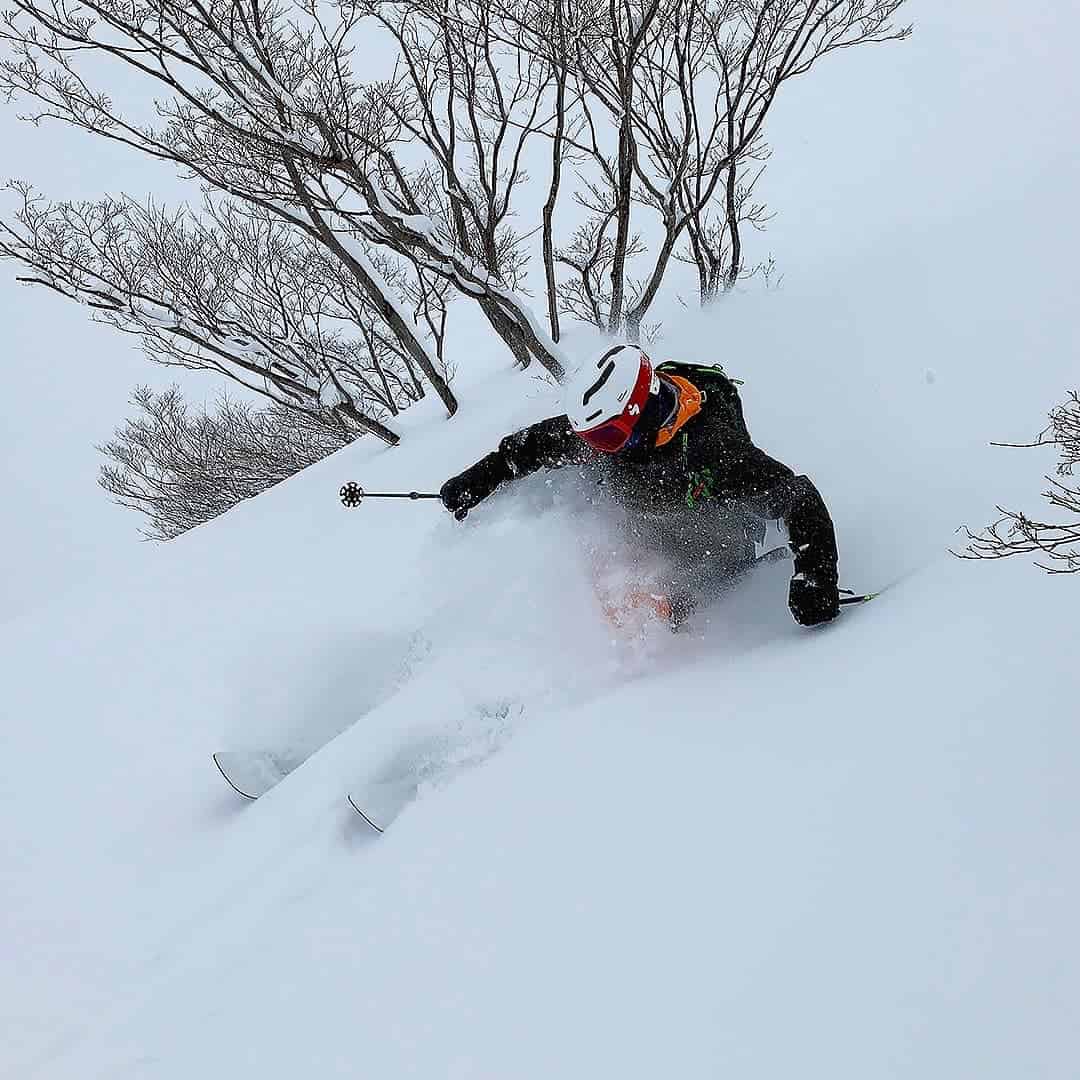
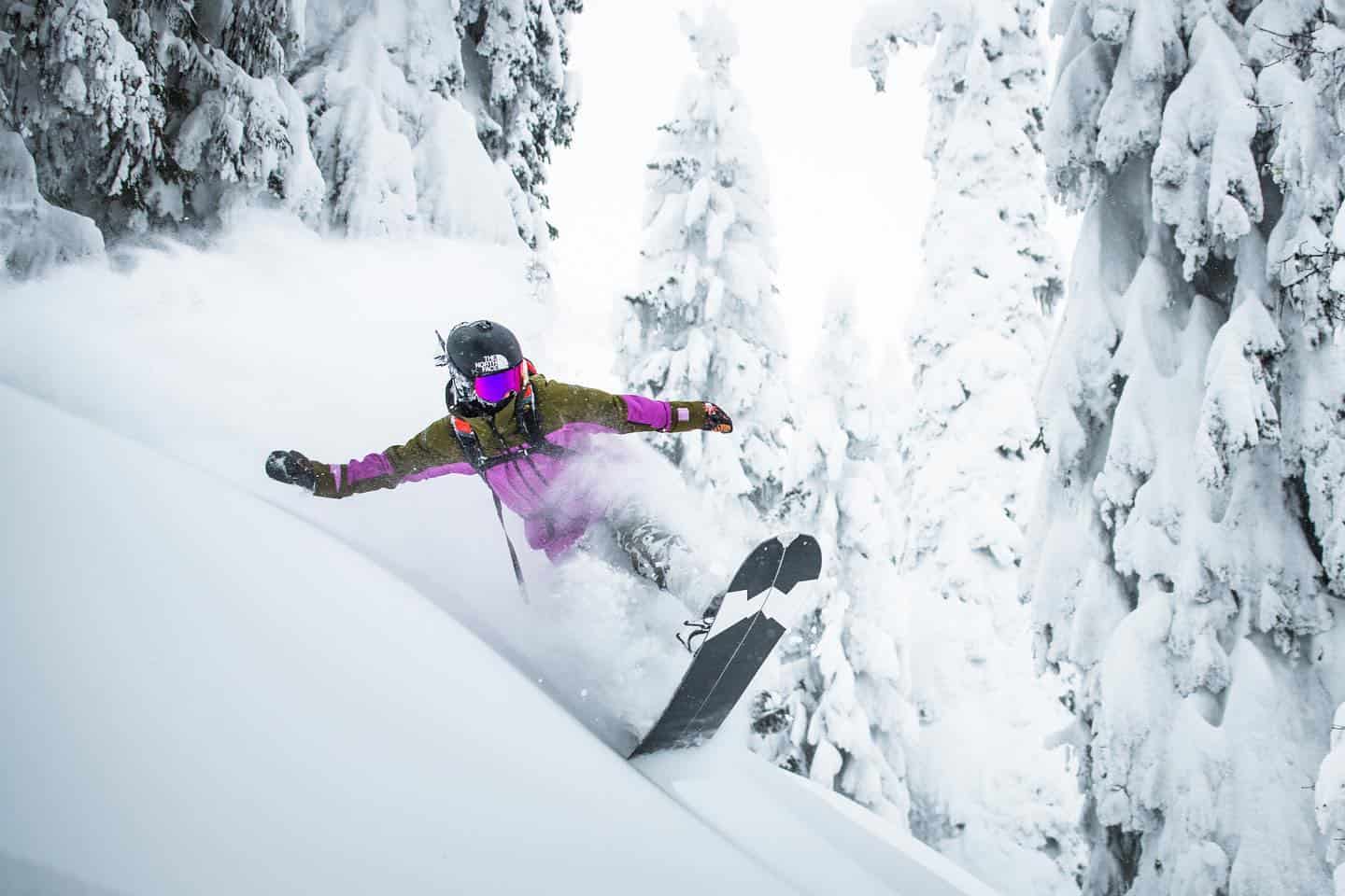
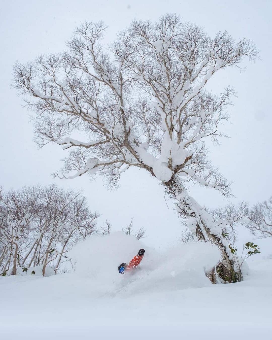
Japan
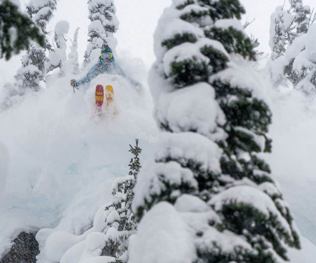
What a winter for Japan’s borders to be closed to international visitors as it has been pumping since mid-December. The 2021/22 winter is shaping up to be a season to remember, especially for resorts in Central Honshu where it could be the best season in a decade. As the Grasshopper reported in his forecast on Thursday, a strong storm last weekend dropped some huge totals, Nozawa Onsen receiving 158cms last Sunday/Monday, while Myoko had 120cms, Hakuba 80cms over two days.
The past few days have been fine Honshu, with packed powder on the menu today, but another storm is expected tomorrow with Hakuba set for 77ccms over the next seven days while Myoko should see 59cms and Mt Naeba 39cms.
Up North in Hokkaido the totals were a little less last week, but still pretty nice Niseko reporting a seven-day total of 122cms, including 30cms overnight Tuesday, setting up a good mid-week pow day. Since then it has been sunny in Niseko, our snow reporter reporting a good day for the groomers today, but he’s worried three fine days in a row may mean an early start to spring. Fortunately, it’s not and the forecast is for snow again from tomorrow, but nothing huge with light snowfalls set to drop 15cms over the next week.
USA
In terms of snowfalls for the western US, a quiet January has extended into a quiet February with just a few light snowfalls and 10-day snow totals of 5-15cms in the Rockies, most of that during the first week of Feb. The snowiest area has again been the Pacific Northwest, Mt Baker receiving 35cms last week and another 10cms on Wednesday. In California, the huge December totals are a distant memory for Mammoth and the Tahoe resorts, the last snowfall in the Sierras being a miserly 7cms on January 4-5, and the dry spell is entering its sixth week. Funny, when the Sierras received 9 metres in December, there was a lot of, “So much for climate change, ha, ha,” posts on social media, but for the Californian resorts and local, the long dry spells each winter are a real concern.
It has also been pretty dry in the Rockies, Jackson Hole receiving just 25cms from two small snowfalls in the past month, Aspen 30cms and in Utah, Alta has received only 15cms in the past five weeks.
The forecast is for a couple of weak storms on the weekend in Colorado and Utah, ahead of stronger system mid-week which could drop 25cms in southern Colorado while further north resorts in Utah and Wyoming should see smaller totals, of 10-15cms. The drought will finally break in California with some precipitation on the way for the Sierras, but nothing huge with 10-15cms forecast for Mammoth on Monday/Tuesday and 5-10cms for the Tahoe resorts.
Canada
There were a few lights snowfalls in the first week of February with the interior resorts on BC’s Powder Highway receiving 10-15cms on Feb 3-6, Whitewater topping the count with 25cm, but it has been dry since. It has been a very quiet February in Whistler Blackcomb and temps have climbed a little too over the past few days with spring-like conditions expected across the weekend. A change is due early next week with snowfalls forecast for the Coast Mountains and Interior BC with Revelstoke expecting 30-40cms from Wednesday through to next weekend while 25cms is forecasted for Fernie. Snowfalls will be lighter further West, Whistler Blackcomb in line for just 5cms on Monday although a stronger system may deliver moderate snowfalls next weekend.
It has been a little more active over the past week in Alberta, Lake Louise and Banff Sunshine getting a nice 20cms top up mid-week with good conditions on and off piste. The weekend will be fine and sunny with top temps around -3 before a weak system delivers light snowfalls from Monday through to next weekend with Lake Louise expecting 15-20cms from Feb 15 through to the 20th.
Europe
There have been some heavy snowfalls across the European Alps over the past two weeks, with reports of 50cms late last week and into last the weekend. Snow totals in Austria were nudging a metre going in to last weekend, but the heavy snowfalls saw the avalanche danger climb to four out of a scale of five and there were multiple avalanches, including one in the Tirol region that tragically resulted in the deaths of four ski tourers and their guide.
Good snow totals were also reported in Switzerland with totals between 40-70cms before the storm cleared for a sunny weekend. SA second storm arrived early this week with snowfalls across Austria, Switzerland and France, resorts in the French Alps reporting 15-30cms on Monday/Tuesday.
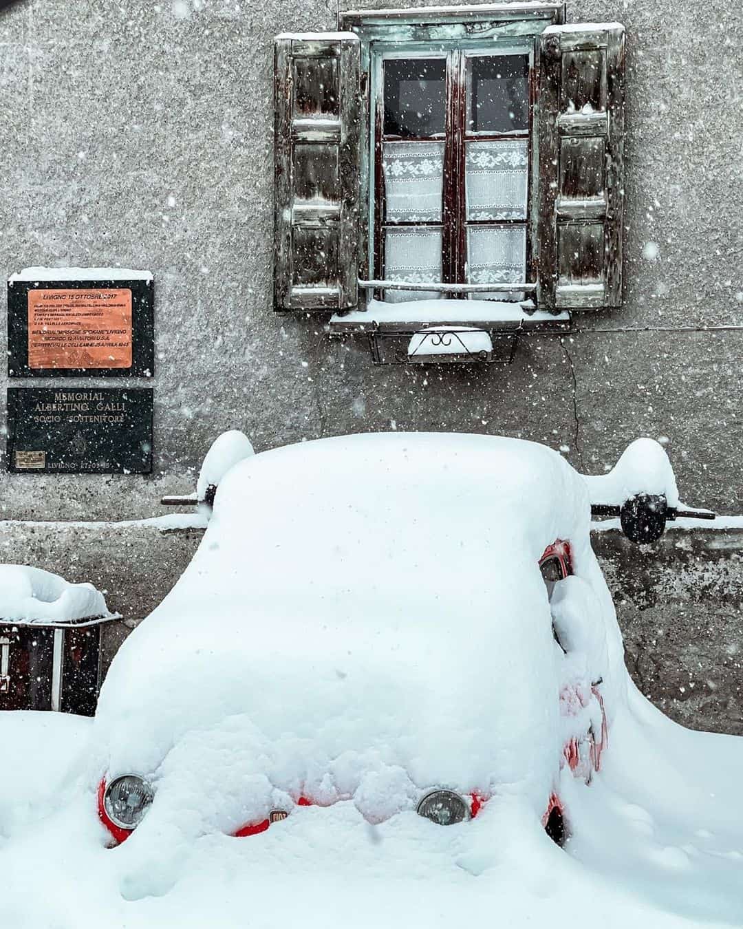
In Italy there were also good snowfalls in the northern resorts, Cervinia receiving 45cms while further east in the Dolomites Cortina and Livigno received a much needed 25ms.
After fine conditions mid-week another storm is dropping snow across the weekend in the Alps with 15-25cms expected, Val Isère in line for 15cms, Cortina D’Ampezzo also 15cms, Verbier 10cms and St Anton 25cms.
Where We’d Like to Be This Week
Myoko Kogen. A good variety of terrain and resorts, great backcountry, Akakura Onsen is a cool town and there’s another 77cms in the forecast, next Thursday/Friday looking like epic powder days. If only ….


