Mountain Safety Collective Backcountry Conditions Report – Friday 22 August 2025
Mountainwatch | Mountain Safety Collective
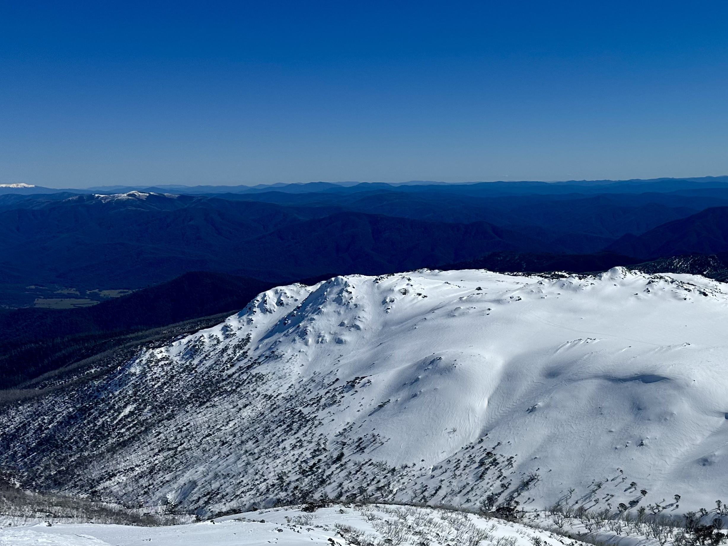
If you were lucky enough to be in the backcountry early this week you’d know it was the highlight of an already great season so far. While Saturday’s storm snow totals barely nudged 10cm official depth, the wind loaded it up to 60cm deep on top of a supportive crust.
This was followed by cold temperatures through Sunday that dipped to -12 at Thredbo top station on Monday morning, the coldest recorded temperature of the year. With no accompanying winds, these cold temperatures dried out the snow and provided the opportunity for some amazing footage from the backcountry.
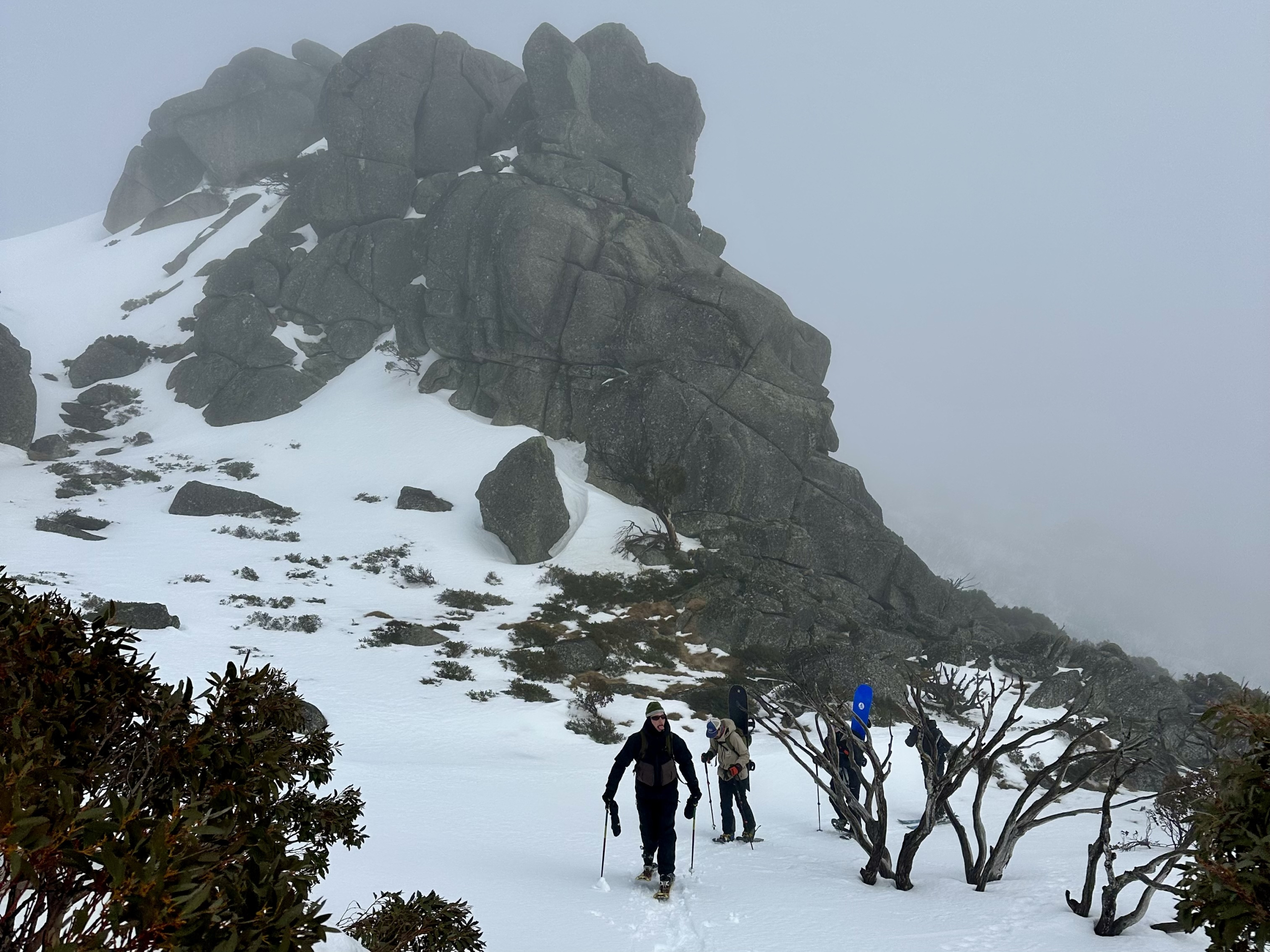
The run of sunny weather continued until Wednesday afternoon in NSW before the edge of the coastal rain system brushed the mountains with a fine, wet mist that saturated the snow surface through Thursday. Victoria dodged the worst of the moisture but milder temperatures have been creating softer surface conditions there too.
As we move into the weekend, high pressure will dominate the mountains with partly cloudy conditions on Friday into Saturday, clearing to mostly sunny on Sunday and Monday. Winds will remain light to moderate and we’ll likely see a melt freeze cycle develop from Sunday morning as nighttime temperatures dip below zero and solar aspects soften through the day. Overall, the next few days will provide a good opportunity for longer backcountry tours and snow camping.
A significant storm system will develop from Tuesday 26 August and run through the rest of next week, accompanied by extreme winds and blizzard conditions with forecast models starting to indicate 30-50cm of new snow.
You can keep up to date with free Backcountry Conditions Reports every day by visiting Mountain Safety Collective and MSC’s Membership Drive will be releasing a load of new prizes up for grabs in August!


