World Snow Wrap Feb 27th – Early Spring in Japan, Powder days in Canada and US, Big Storms in Europe
Mountainwatch | Reggae Elliss
The past few weeks have seen a bit of everything in the Northern hemisphere with an early spring and a February slow-down in Japan, massive storms in Europe and the US and a few classic powder days in BC. Check out what’s been happening around the ground in a our latest World Snow Wrap.
Japan
After five weeks of consistent storms and multiple powder days in January and early February, spring arrived early in Japan with warm temps in between the past few storms. The last multi-day cold storm was on Feb 7-10 which dropped 40+cms across resorts in Hokkaido and Honshu, but temperatures gradually climbed the following week, hitting +11 in resorts across Central Honshu on February 14th.
Central Hokkaido received a refresh over a few days last week, while Niseko also picked up a timely 30cms early last week. Since then, it has been warm with a melt/freeze cycle, our Niseko snow reporter writing yesterday that “surfaces are generally solid underfoot, especially on ungroomed terrain.”

Further south the Myoko, Nozawa and Hakuba reported to 20-30cmns on Feb 18th and the following day was the best powder day of the past few weeks. Unfortunately, a warm storm brough rain to central Honshu earlier this week ahead of sunshine, warm temps and spring melt/freeze cycle over the past two days.
In his forecast yesterday, the Grasshopper says that the mild conditions will continue with the chance of storm delivering dense snow for northern Honshu and Hokkaido while it will be wet further south.
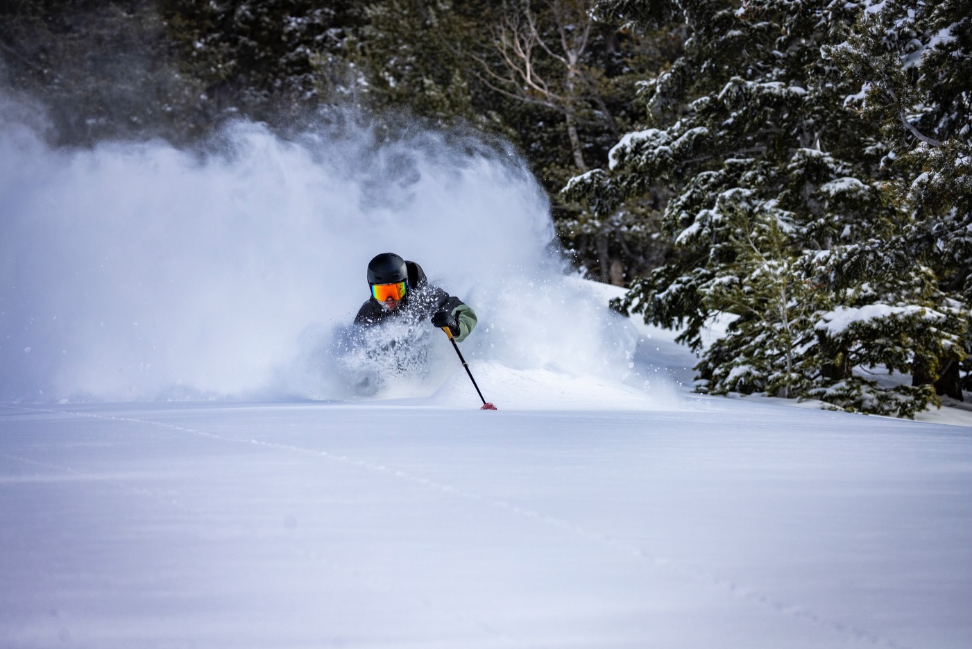
Canada
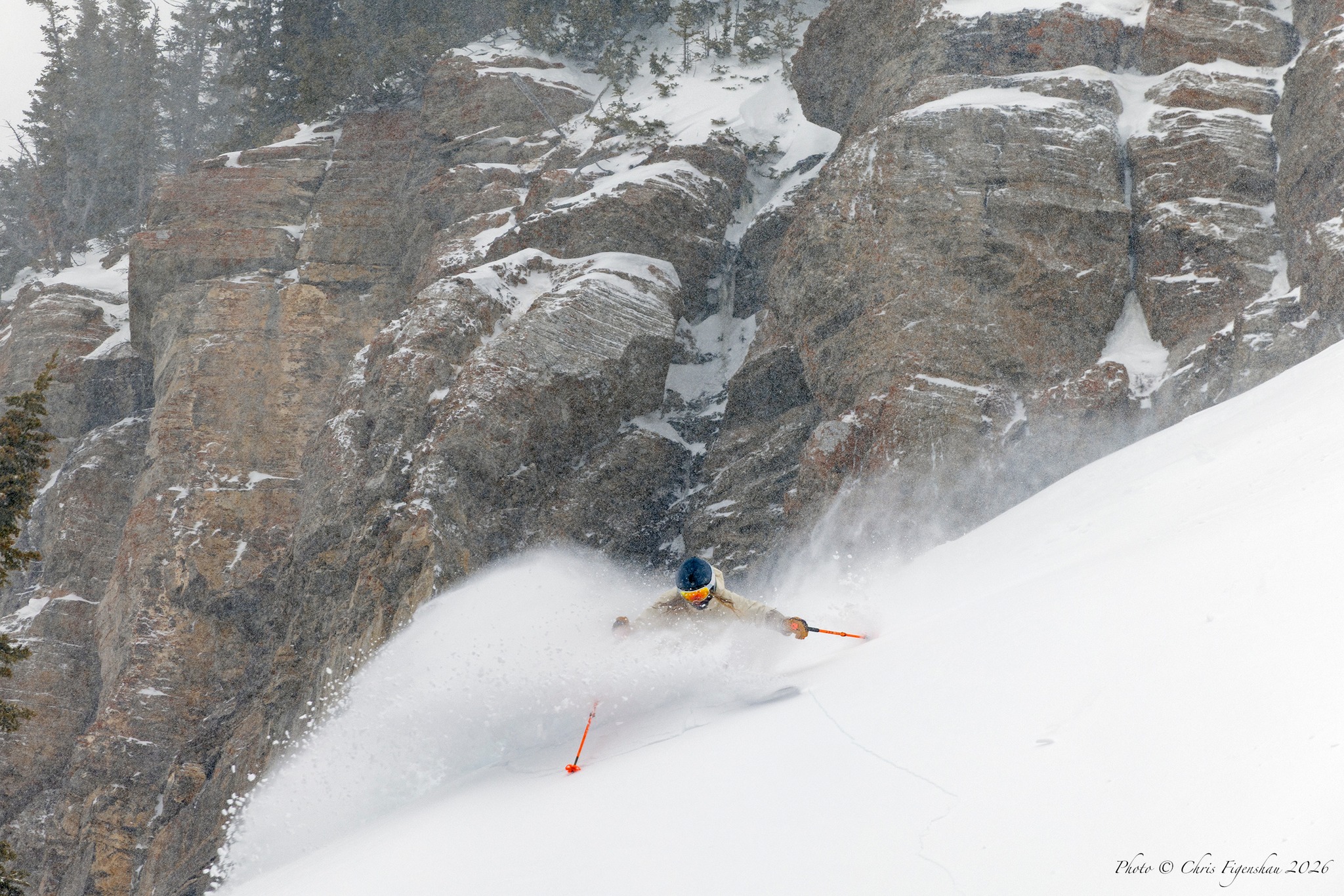
The back half of February has been active in British Columbia and Alberta, with a couple of string systems dropping quality snow on the Coast Mountains, Purcells and northern Rockies. Revelstoke has received 96cms over the past two weeks, 61cms of that this week and with cold temps it has been a good few days. It was a similar story in Kicking Horse which has had 30cms in the past week, and by all reports this morning was a good powder day. That storm should clear interior BC over the next 24 -48 hours, so it looks kid another pow day tomorrow.
It has also been a good week in Whistler after 40cms on Tuesday, one of the best days of the month. Since then, it has been cold with quality dry chopped powder and perfect groomers each morning.
Alberta has seen more modest totals but a couple of 15-20cms top ups, one last week and another this past Monday/Tuesday, which turned on a few fun days in Lake Louise and the Banff resorts.
The weekend will be mainly fine for western Canada with the next round of fresh snow due next week, the Grasshopper writing in his forecast yesterday that we’ll see “a light-to-moderate shot of powder to resorts in southern Canada.”
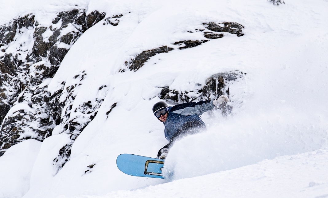
USA
While many resorts in the western US have been in dry drought-like doldrums for most of the season, mid-February saw a more typical winter weather and a good storm cycle for most regions. The biggest storm of the winter hit California’s Sierra’s last week, Palisades Tahoe reporting a massive 287cm from Feb 17-20 while Kirkwood received 228cms. Further south Mammoth Mountain also did very well, picking up 193cms over the same four-day period.
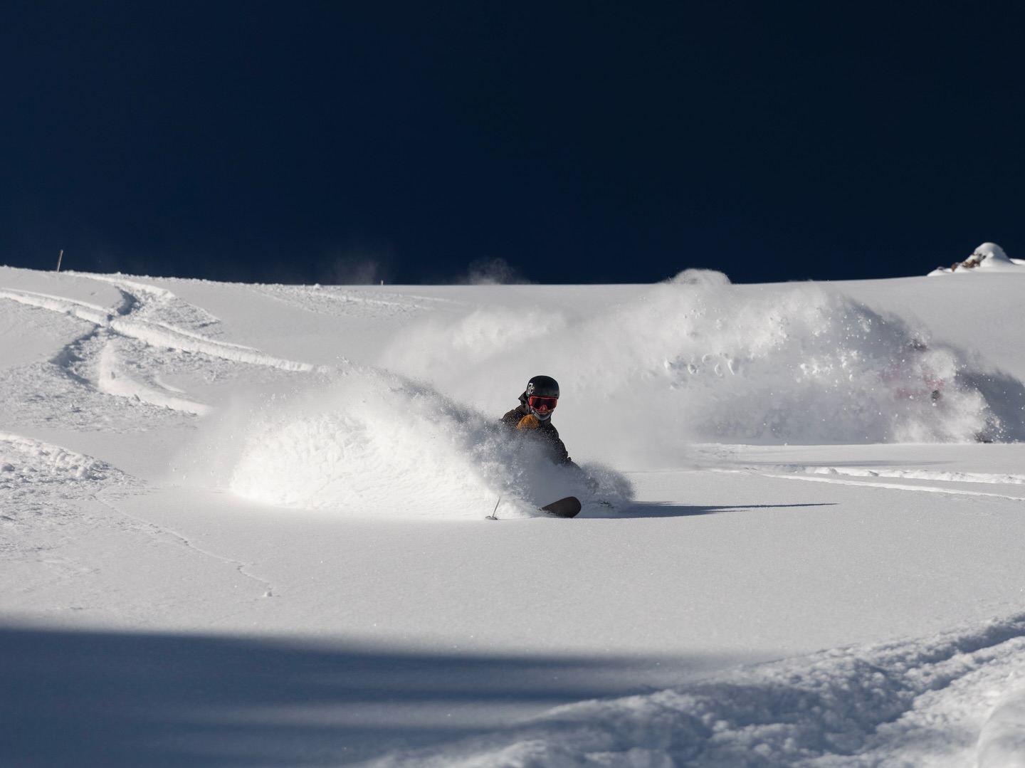
That storm also made it further inland, helping to build the below-average base, with good totals across the Central Rockies and Tetons. Aspen and Vail reported 60cms while Jackson Hole saw 65cms. Jackson also did well over the past 48 hours with another 35cms turning on a good powder day on Wednesday.
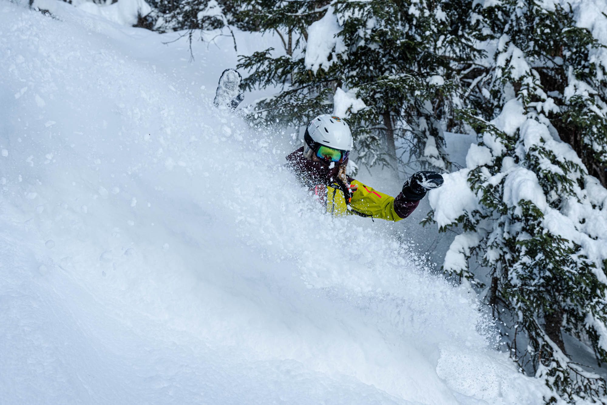
Utah also enjoyed a bit of a resurgence over the past two weeks with a few of the best powder days of the season. It has been a good cycle with three storms and significant snow totals with 167cms in Alta over the past two weeks while Park City received 120cms.
The weekend will be dry in the Sierras and after some rain and an ensuing melt-freeze cycle we’re talking spring conditions in Tahoe. Further inland we should see a few snow showers in Colorado and Utah. Much of the western US see a return to above average temperatures next week, ahead of a cold front and potential snow later in the week.
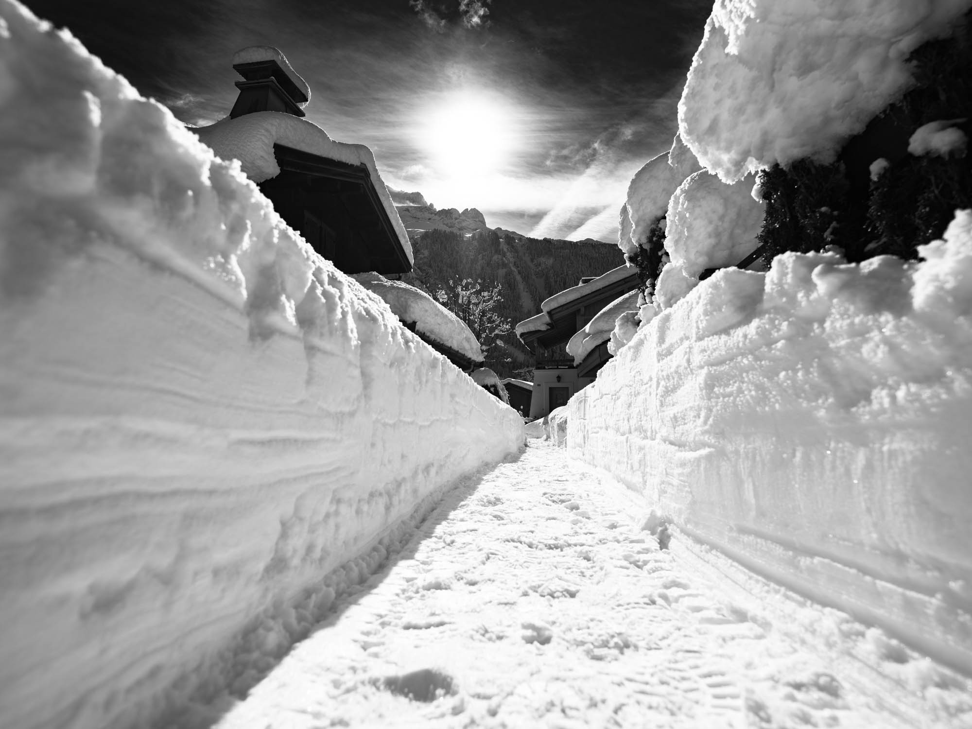
Europe
The past few weeks have been very active across Europe with widespread snowfalls and huge snow totals, some areas in the Western Alps receiving three metres at higher elevations. over a 10-day period. While this led to some of the best days of the season the avalanche danger was very high during this period and a number of resorts were closed at times due to an unstable snow pack. Unfortunately, that did not stop some people taking unnecessary risks in closed areas and the backcountry and there were a tragically a few fatalities.
The past week has seen a significant warming trend with temps reaching into double digits last weekend at lower elevations as we head into spring. While the snow pack has settled over the past few days, the warm temps have led to a few in-bound slides, including one in Chamonix that caught three people. Happy to say they were quickly rescued and there were no reported injuries. The forecast is for mainly fine weather with below zero overnight temps and spring conditions for the next week. There may be a few snow flurries but no significant snow in the short term.
Where We’d Like to Be This Week
Revelstoke. The forecast is for another 20cms over the next two days followed by sunshine and cold overnight temps maintaining a quality snowpack. Great mountain, cool town.


