Mountain Safety Collective Backcountry Conditions Report – Friday 24 July 2026
Mountainwatch | Mountain Safety Collective
The warm start to this week saw the highest July temperatures on record in Hotham and Thredbo. Looking at daytime averages across the month, these were around three degrees warmer than the same time last year, consistent with what we saw in June.
The northern edge of a cold front started brushing the mountains on Wednesday, bringing extreme winds and whiteout conditions followed by light snow through Thursday and Friday with cumulative totals of around 5cm. As we move into the weekend, snow flurries accompanied by cloudy skies and strong winds are forecast to continue into Saturday with the potential for sunny breaks on Sunday and Monday.
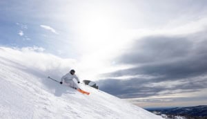
The good news for the backcountry is that the new snow has been windloaded onto lee slopes in the alpine and some softer turns were already being found on Thursday. While the avalanche hazard rating is set at low in the MSC report for Friday 24 July, pockets of windloaded snow are up to 40cm deep sitting on an icy bed surface, so there’s potential for wind slab formation, particularly in the alpine where no direct observations have been possible since the latest storm cycle started.
Widespread areas of rime ice are still in place thanks to the strong winds, particularly on windward slopes and ridgetops. Carrying ski or boot crampons for safe uphill travel is essential and take extra care before committing to riding steeper descents that may have softer snow interspersed with patches of ice. If you are heading out over the weekend, adopt an “assessment” mindset by paying close attention to localised conditions you’re travelling through, as there will be high variability depending on aspect and elevation.
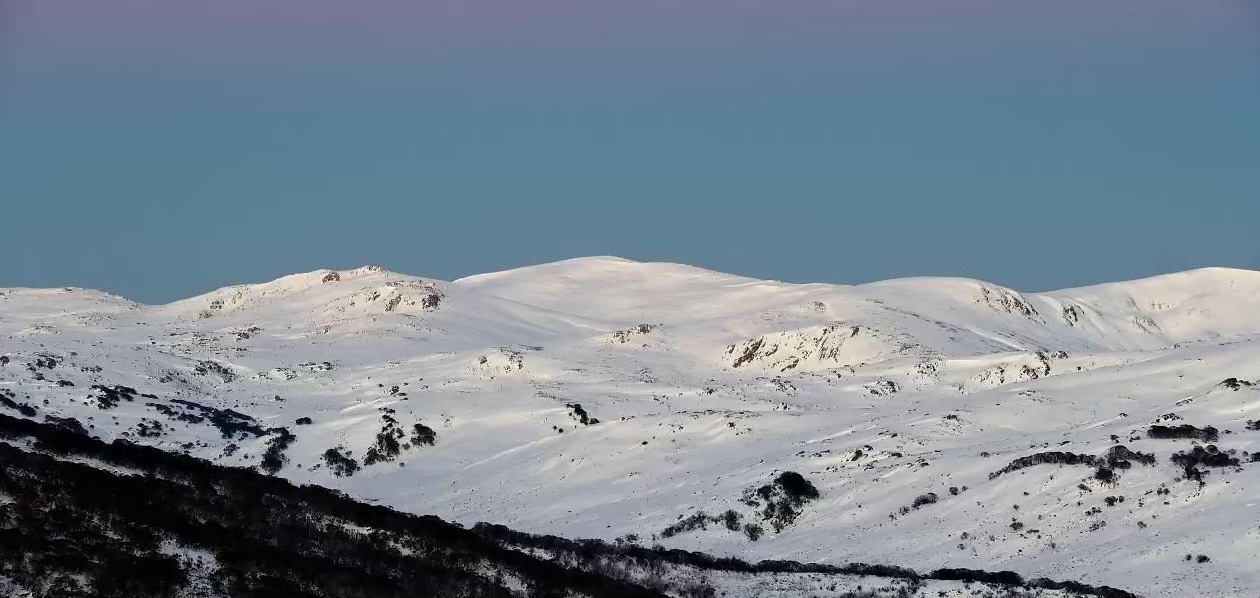
The sub alpine snowpack is still very low with lots of exposed hazards like rocks, bushes and creeks.
As we move into next week, there’s good potential for precipitation on Tuesday and Wednesday, but variability in terms of the forecast freezing level that will determine the altitude we’ll see this falling as snow.
In the meantime, check Mountain Safety Collective’s free, daily Backcountry Conditions Reports for the most up to date information. MSC’s Membership Drive is also running through July and August with some fantastic prizes being drawn.