Season Wrap 2026 : The Winter That Never Really Arrived
Mountainwatch |Reggae Elliss
Well, where to start with a wrap-up of this winter? Was it the worst season ever? Was it the shortest? Was it the warmest? Was it the wettest? Yes and no — probably a combination of all of the above.
First, some stats:
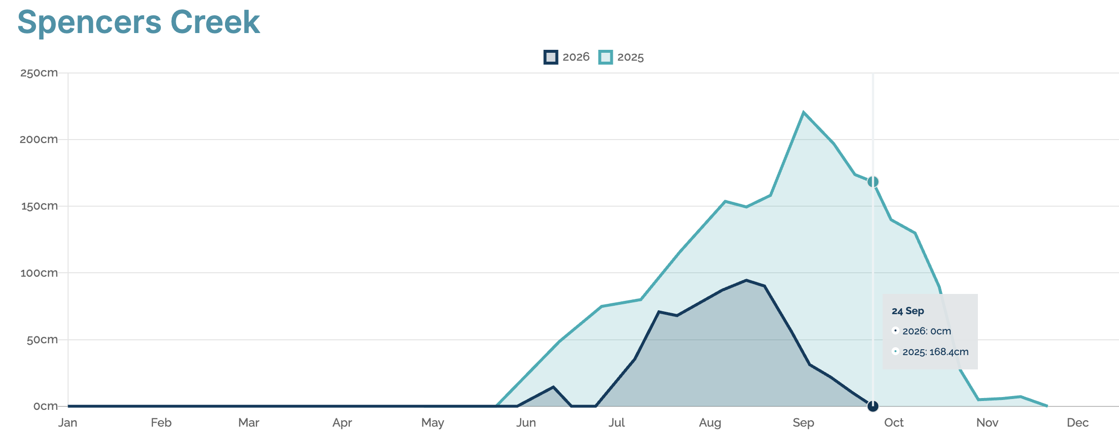
Spencer’s Creek snow depth peaked at 94.5cm on August 13, the second-lowest since records began in 1955, with 2006 holding the dubious record of 85.1cm.
It was the warmest winter on record for much of southeast Australia, including the alpine regions of Victoria and NSW. And it was wet, with some big rain events, especially in August, when warm storms dropped 40–80mm of rain three weeks in a row.
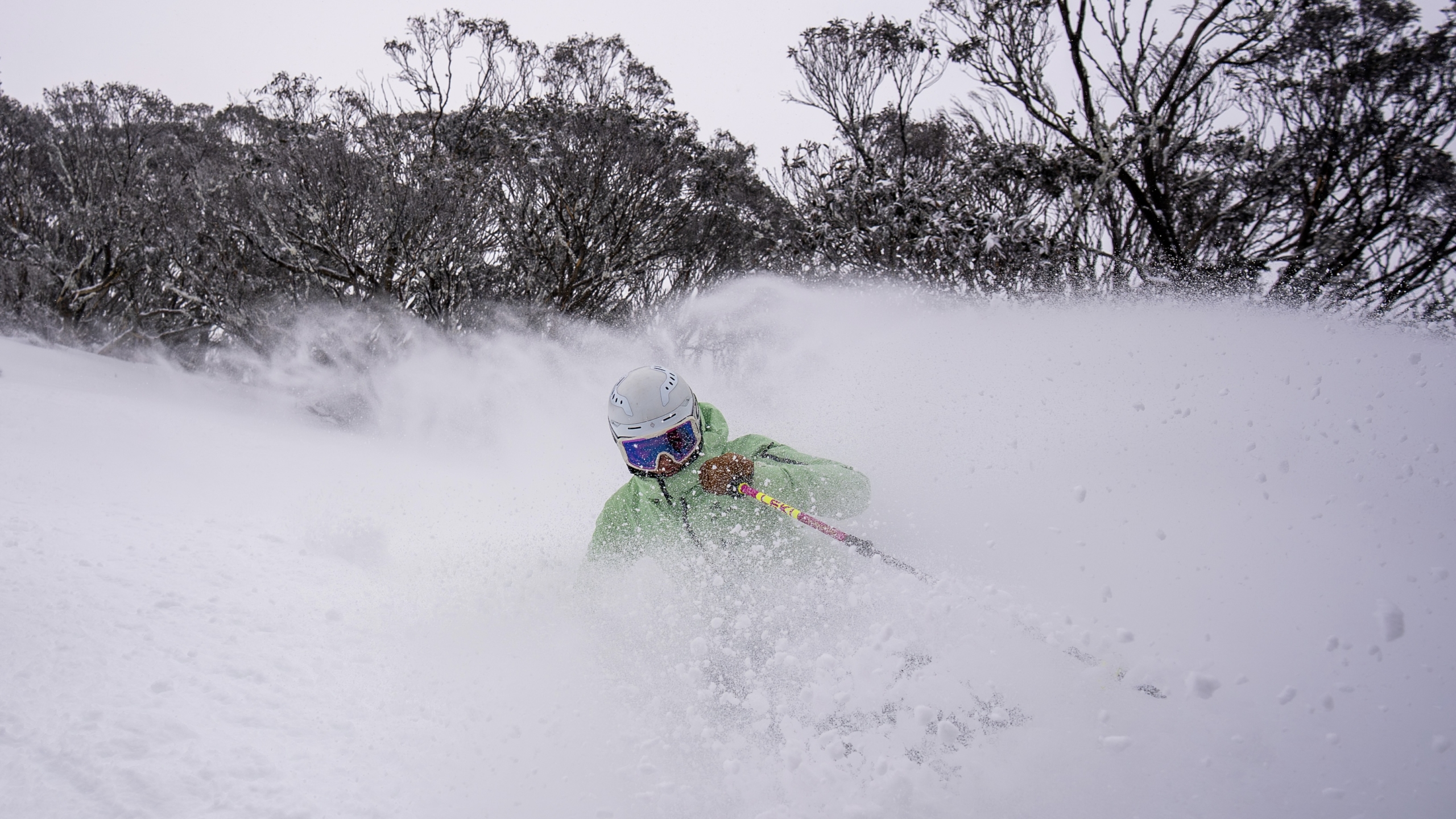
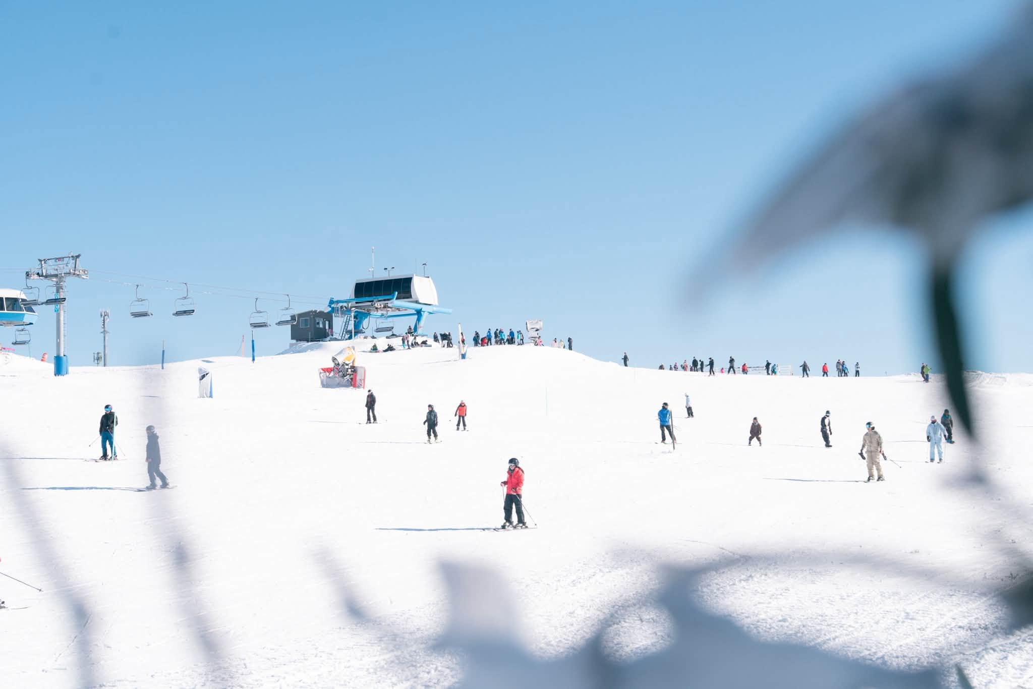
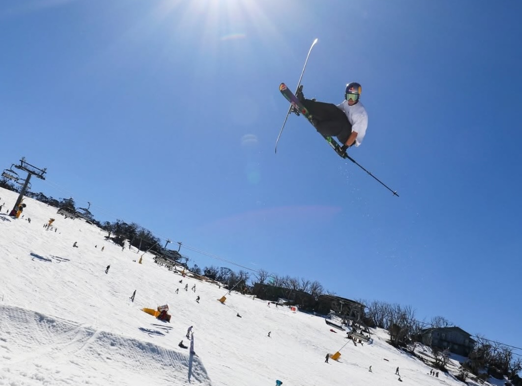
Were there any good days on the hill? Sure. We had a good three-week period from late July into early August. While the best off-piste terrain never really got going, there were a few good powder days and plenty of nice days on piste for those who prefer the groomers. The terrain parks were also pretty good, although the spring laps were limited after we lost September.
Prior to the season, the long-term outlook was not good, with climate drivers pointing to the development of a strong El Niño. In his first Australian winter outlook, published in April, the Grasshopper didn’t pull any punches:
“At first glance it is not an overly optimistic outlook for the Australian snow season ahead. A strong El Niño and positive IOD event may combine to wreak havoc on the Alps in a worst-case scenario, but there is still a lot of time left for that to happen. Other shorter-timescale influences like the Southern Annular Mode (SAM) and MJO will also come into play during the season, so this is not to say it is game over already.”
SAM measures the north/south movement of the belt of westerly winds circling Antarctica. It determines whether storms are pushed to the south (positive SAM) or the cold westerly winds are further north (negative SAM), allowing storms to cross the Australian Alps, dropping snow as they do.
SAM was positive in May and June, abruptly switching to negative in mid-July, when we finally experienced some real winter weather. Pre-season temperatures were very warm, with little to no snow in late May and minimal snowmaking. After some initial rain leading into opening weekend, temperatures dropped, with 15–20cm falling on June 3rd–4th, setting up an optimistic mood, with some lifts open in Perisher, Thredbo and Buller.
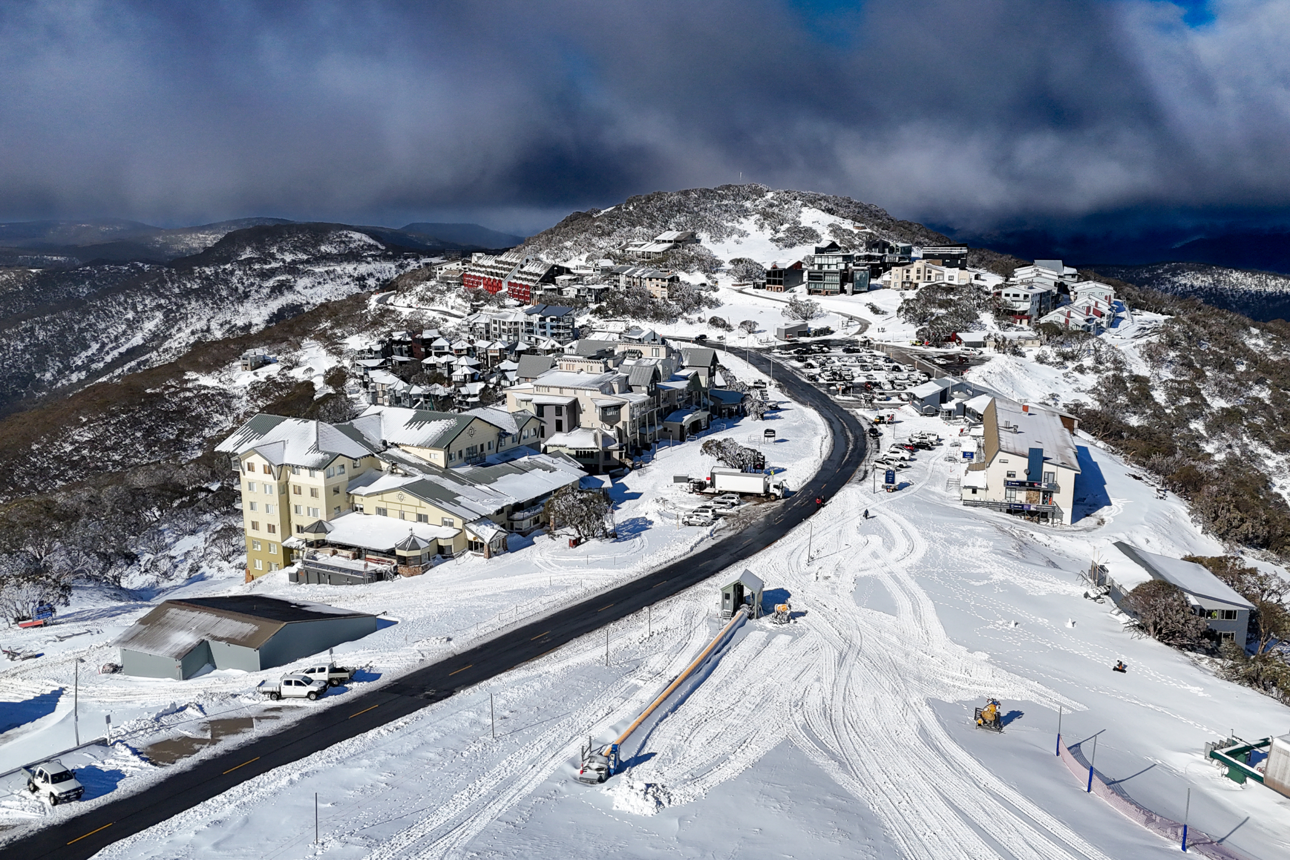
That was short-lived, with a warm rain band the following Tuesday washing away the natural snow. Buller kept lifts spinning on Bourke Street thanks to its all-weather snow factories, while Thredbo, which also has a snow factory, had two lifts open on Friday Flat. Perisher, which had opened the Village 8 chair on Front Valley for a couple of days, was down to a snow runner on very limited cover. The other resorts didn’t get lifts open until early July.
Snowless Junes have happened before, but this year’s was the warmest in a decade, with most precipitation falling as rain. The warm temperatures also kept the snowmakers indoors most nights, and by the end of June the natural snow depth was zero. With school holidays underway, the mood in the mountains was looking grim.
A system at the end of June started out wet and warm, with 40–50mm of rain before finally turning to snow overnight on July 1st. It delivered 15–20cm above 1700 metres, followed by another 10–20cm across the resorts by July 4th.
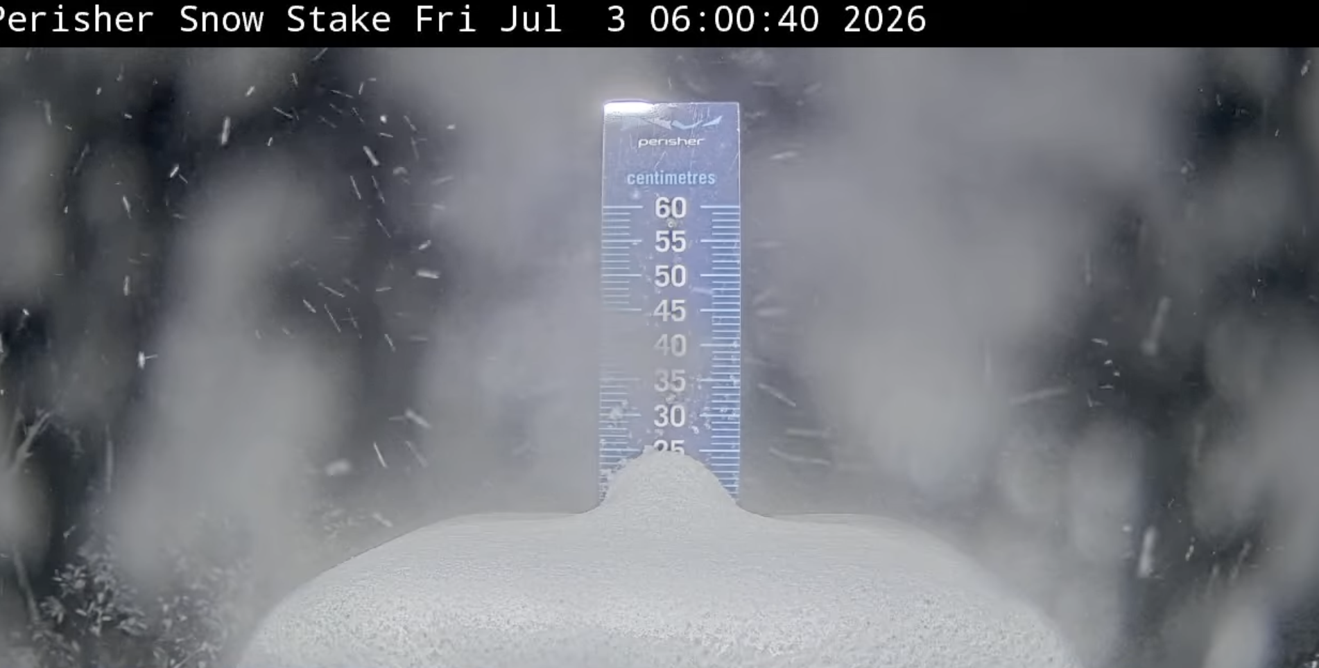
Cold, clear weather and good snowmaking followed, allowing Falls and Hotham to open lifts and terrain for the second week of school holidays, while the V8 opened in Perisher. Thredbo and Buller also added a couple of lifts, opening some intermediate runs. Another storm hit on July 11th, dropping 20cm across the weekend, while snowmaking helped resorts open more lifts and terrain. Perisher jumped from five lifts open on July 3rd to 27 lifts two weeks later.
The following week saw fluctuating temperatures and a couple of warm, spring-like days, with a maximum temperature of 8 degrees — unheard of in mid-July. Snow conditions were spring-like too: firm and icy in the morning, softening in the afternoon. By the final week of July, most resorts had only 30–50% of their terrain open, mostly on piste.
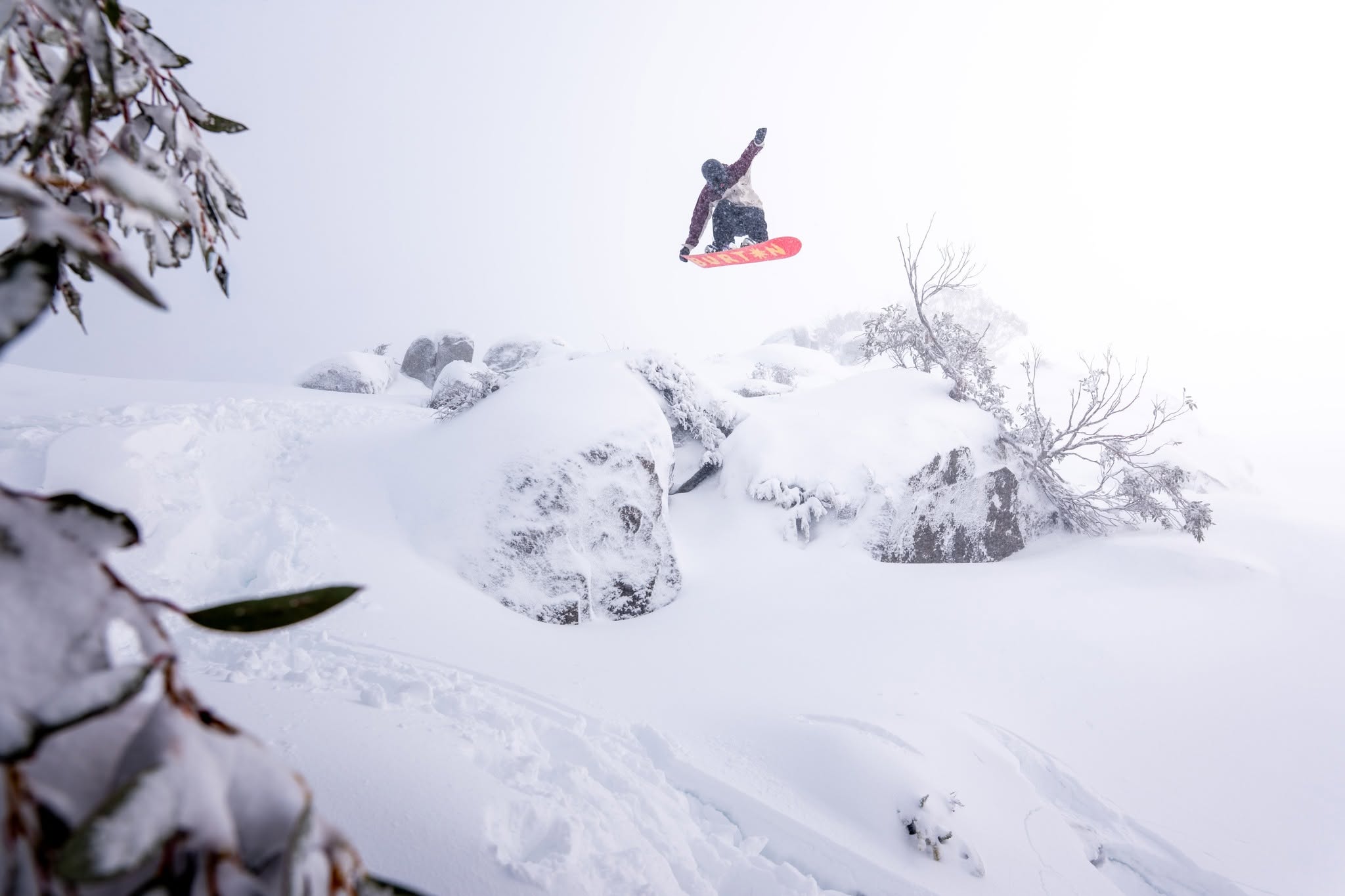
By this stage, SAM was negative, and we entered a period of “proper” winter weather, with cold temperatures, westerly winds and snowfalls. Around 20cm fell on July 27th–28th, setting up a great day on July 29th. In my report on July 30th, I wrote that the previous day had turned into ‘one of those classic Thredbo days, with constant refills of wind-blown snow on top of 10–15cm of fresh snow, offering fresh tracks until last lifts. Best day of the season, and there wasn’t a lift line in sight”.
It was a similar story at all the major resorts, with Bill Barker also describing it in his Hotham report as the best day of the season so far. With more snow in the forecast, things were looking much better heading into August.
The cumulative snow total for July was 85cm, but that was above 1600 metres, with resorts relying on snowmaking to maintain cover at lower elevations.
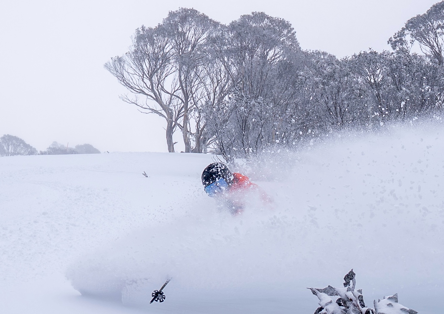
August started well, with cold temperatures, plenty of snowmaking and another 20cm from August 3rd–6th. However, the snow depth at Spencer’s Creek on August 5th, pretty well the halfway mark of the season, was only 87.1cm. Last year it was 153cm, while the long-term average for early August is typically 120–160cm.
The sampling points at Spencer’s Creek are at an elevation of 1830m, which is around mid-mountain elevation in Thredbo, Charlotte Pass and Perisher. However, the Victorian resorts are lower, with Hotham and Falls topping out at 1861m and 1842m respectively, while Buller is 1805 metres. There was minimal natural snow below 1600 metres, with low-elevation resorts like Baw Baw and Selwyn largely confined to snowmaking areas.
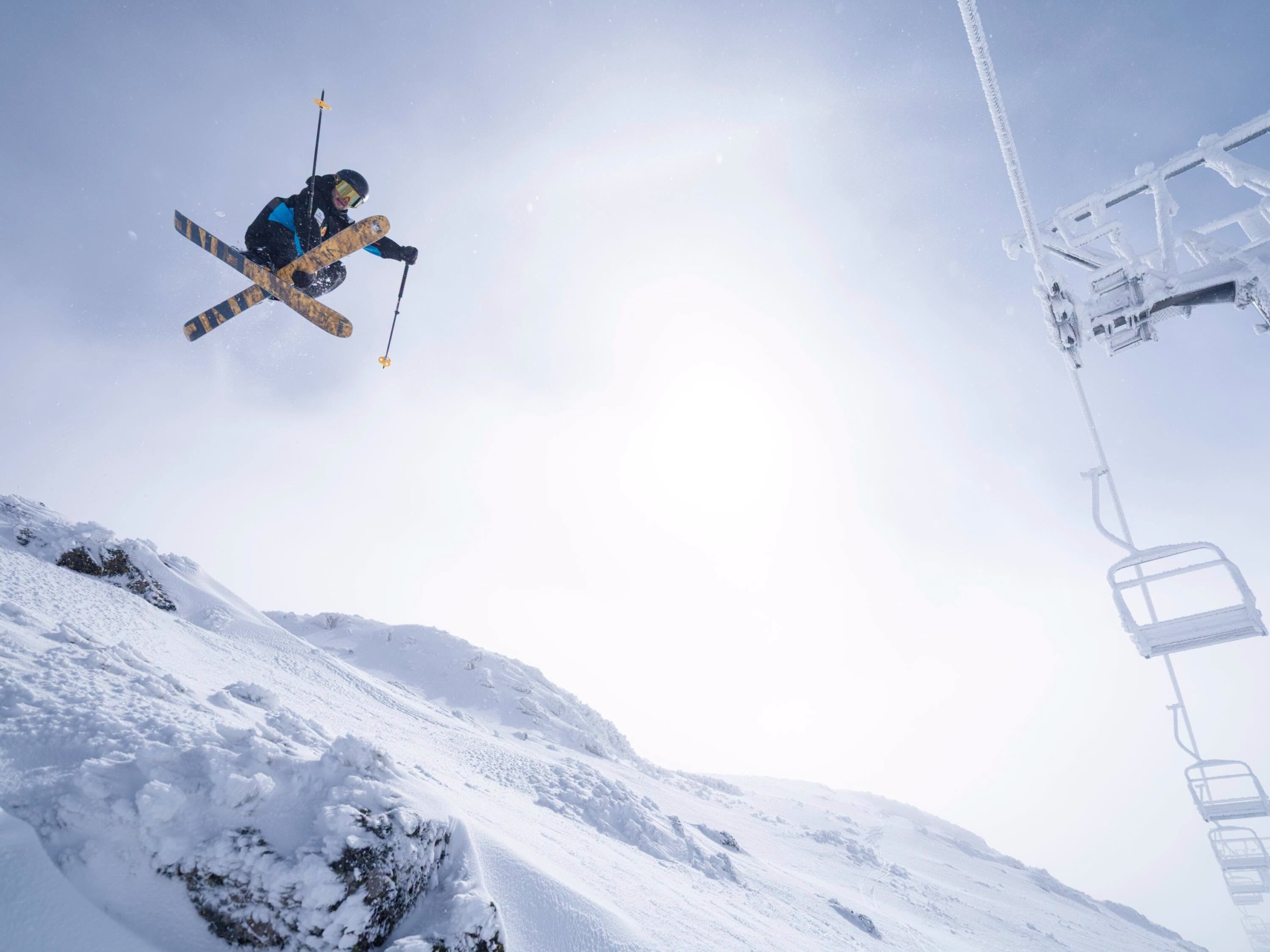
The first week of August produced some good snow, with a few freshies and softer wind drifts up high. However, the snowpack was thin and fragile, and a strong system due on Sunday, August 9th, was shaping up as a make-or-break storm, with strong NW winds and 40–60mm of rain expected.
A second, colder front was due early Monday, with forecasts calling for 50–70cm above 1700 metres over August 10th–12th. It wasn’t looking good below 1600m, with an initial burst of snow expected to turn to rain.
In the lead-up to the storm, the forecast snow totals were bouncing around, but on a downward trend. On the morning of the 9th it was still looking good, with the Grasshopper calling for 10–20cm on Monday, followed by another 20cm across Tuesday and Wednesday.
As we all know, it didn’t pan out that way. We received the expected rain with 80mm falling on the 9th, but after an initial burst of 5cm of snow when the cold air hit on Monday morning, it stopped snowing 30 minutes later. Snow showers dropped another 10–15cm over the next two days, with some fun turns on offer from shallow freshies and softer wind drifts up high courtesy of cold, gusty WNW winds.
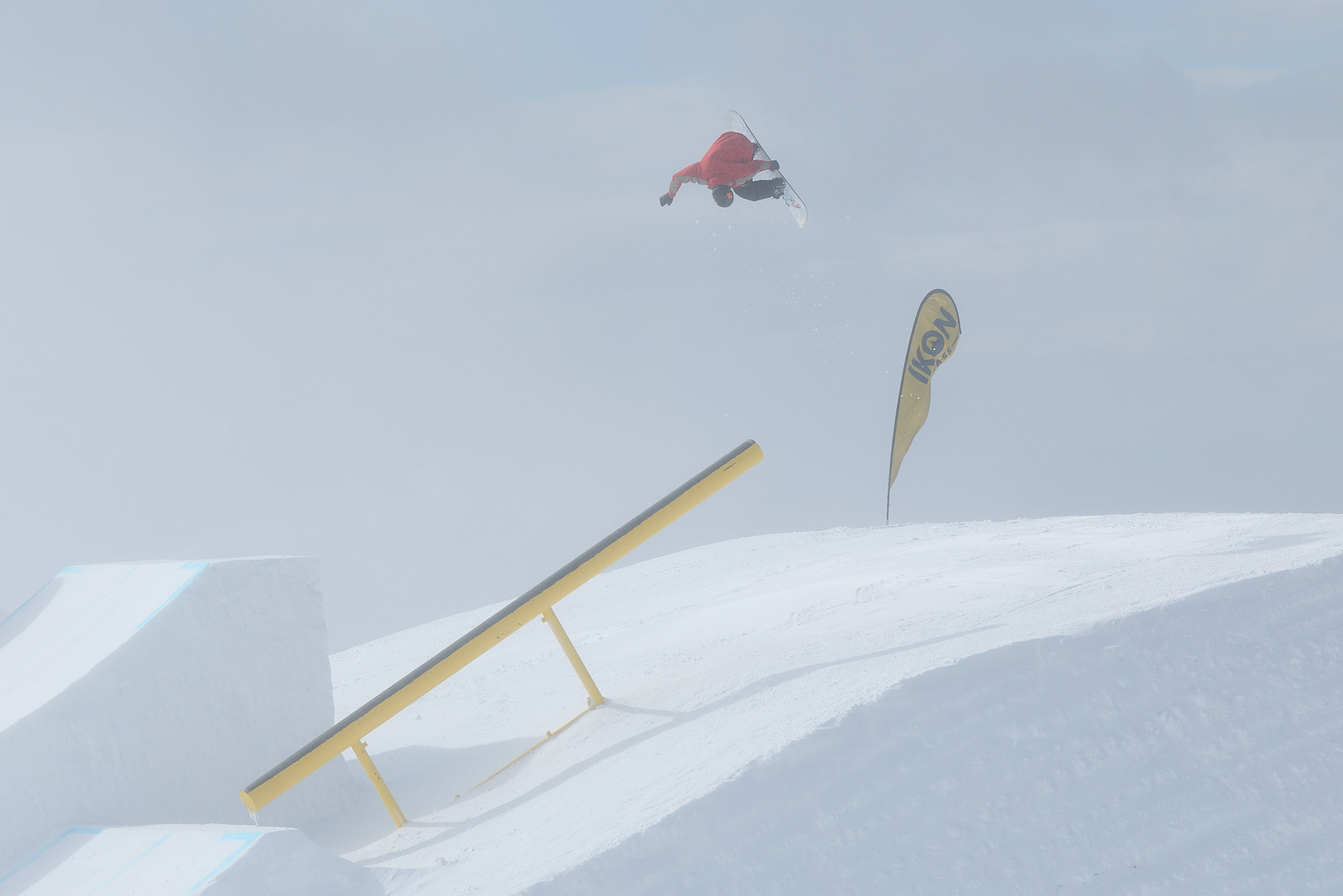
While the rain appeared to do minimal damage to the upper-mountain cover, it weakened the base and undermined the longevity of the snowpack. Spencer’s Creek hit 94.5cm on August 13, up from 87.1cm on August 8th. Hotham hit its peak depth of just 65cms on August 11th, Falls Creek reaching a similar depth, while Buller reached 40cms at the Summit.
August is traditionally the most reliable month for snow during our winter, but not this year. Another warm front brought 50mm of rain on August 20th, followed by another 60–80mm on August 24th–25th. Hairdryer NW winds accelerated the meltdown at lower elevations, with resorts seemingly closing lifts and terrain by the day. Spencer’s Creek was down to 55cm on August 28th, and it felt like the season was in its death throes.
Selwyn and Baw Baw had a very tough season, not only too low for most of natural snow that fell this year, but were also hampered by marginal snowmaking temperatures. Both closed for the season on August 22..
September kicked off with mild temperatures and strong NW winds of 50–80km/hr. blowing around the clock. The final nail in the coffin was another bout of rain on September 5th, with Buller, Falls and Hotham closing lifts on September 6th. Thredbo’s upper lifts went on wind-hold on September 1st and never reopened, the snow at higher elevations melting under the relentless NW winds. However, thanks to the snow factory and a couple of nights of snowmaking the resort managed to keep the Friday Flat beginners’ area open until September 13th.
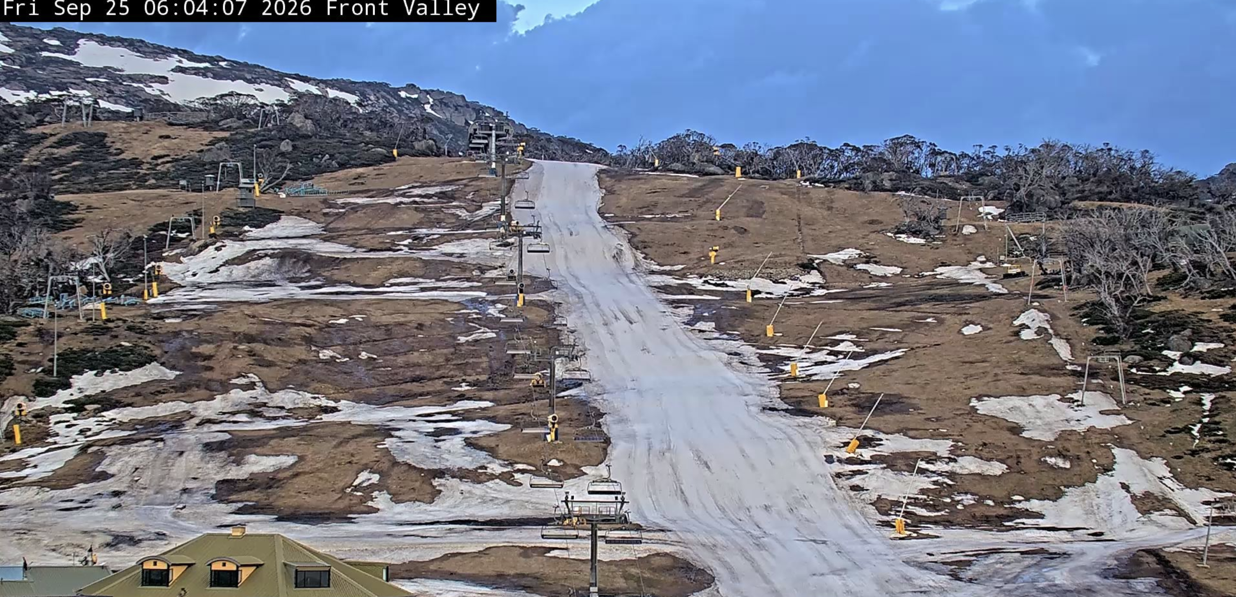
Perisher had closed Guthega and Smiggins at the end of August and the lifts at Blue Cow followed on September 10th. Perisher was down to 5 lifts by September 17th but kept going for as long as it could, finally closing the final two lifts on Front Valley last Friday.
So, there you go. Without doubt, a challenging winter, with the strengthening El Niño living up to its reputation. Warm temperatures, rain and strong winds ensured an early end to the season. This is the third early end to the season in the last four years, with 2023 and 2024 also seeing some resorts close at the start of September.
The quick snowmelt is a trend that has been obvious for a while now, with the snowpack quickly dropping from its peak each year, and it is rare for it to last into late October.
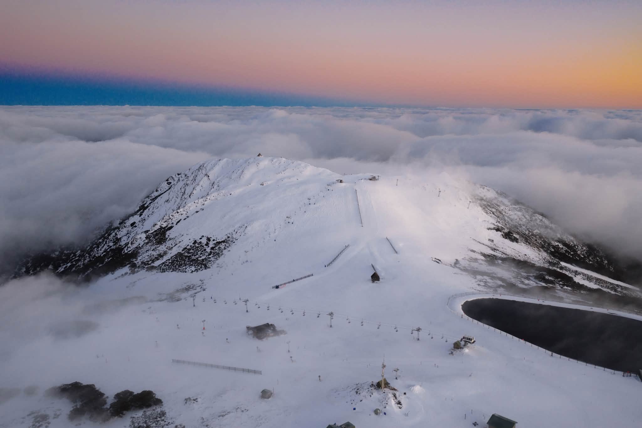
While it was another poor season, there were some definite highlights and if you were there at the right time, plenty of fun days, both on and off the hill. As usual, it was all about timing — and a bit of luck!
A big thanks to the mountain operations departments at all the resorts who did an amazing job, especially the groomers and snowmakers who kept as much terrain open as possible in adverse conditions.
Let’s hope 2027 is a lot better.