2022-2023 Japanese Snow Season Outlook – February Update
Mountainwatch | The Grasshopper
After a fruitful few weeks that saw the Japanese season rocket into the New Year, things then slowed down during the first week of January for about two and a half weeks of relatively settled and sunny weather. There were, however, two or three good dumps of snow on Honshu during this period, and those resorts on Hokkaido would barely have noticed the speed hump if it weren’t for a rare absence of snowfall for about five days.
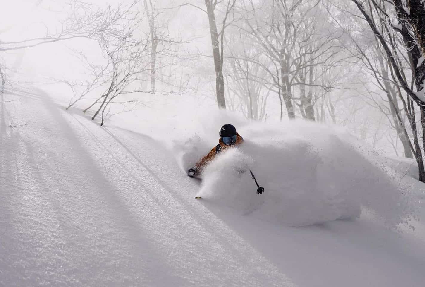
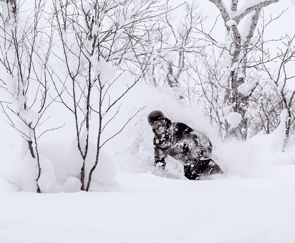
Then, with a little over a week left in January, the powder tap turned back on big time for a couple of heavy weeks. There have been plenty of epic, deep days, but there was also a lot of digging out to be done and the avalanche risk was high with several tragic incidents. Snow depths across Japan are now near, or slightly above, average for this time of year.
As we’ve slid into February snowfalls have gradually slowed down on Honshu, and that looks set to continue over the several days, Hokkaido included, where a duo of lows will bring a heap of wet, mixed precip to low altitudes Honshu Friday and Monday. Fortunately, the latter of the two lows will usher in a healthy dose of cold NW winds, with several days of good snowfall for both Honshu and Hokkaido from Tuesday onwards. For more details on this, check out my weekly Japan Forecast.
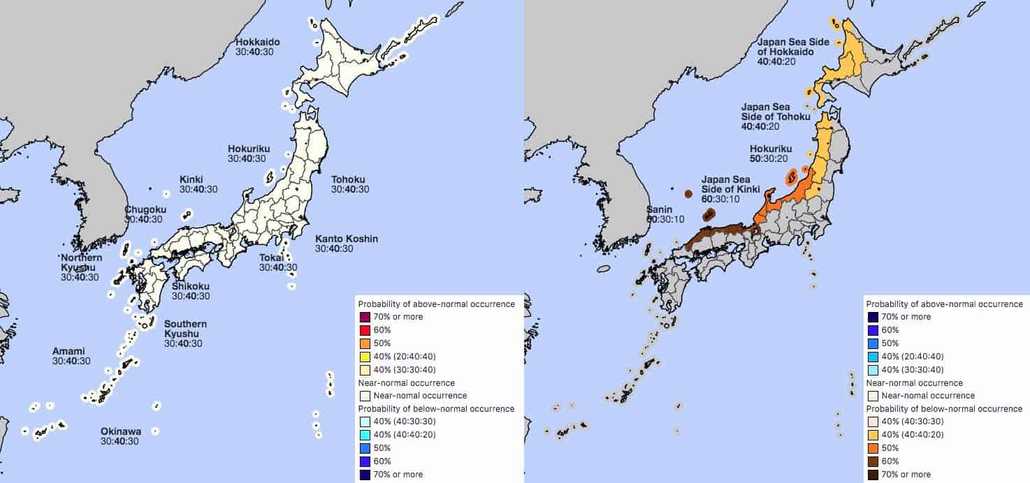
Average amount of snow to end February
After those several days of snow mentioned above, we’re likely to see a few days of settled weather. From then onwards, ensemble models expected snowfalls will switch into auto pilot in what is shaping up to be an average-looking final week and a half of the month.
After what is likely to turn out to be a warm first half of February for western and central Honshu, and colder than average for Hokkaido, the JMA expect temperatures during the second half of February are most likely to be about average, with an equal chance of above and below normal occurring. The JMA also expect snowfall for the month as a whole is most likely to be average or below for northern Honshu and Hokkaido, and below average for western and central Honshu.
La Nina tap turns off for March
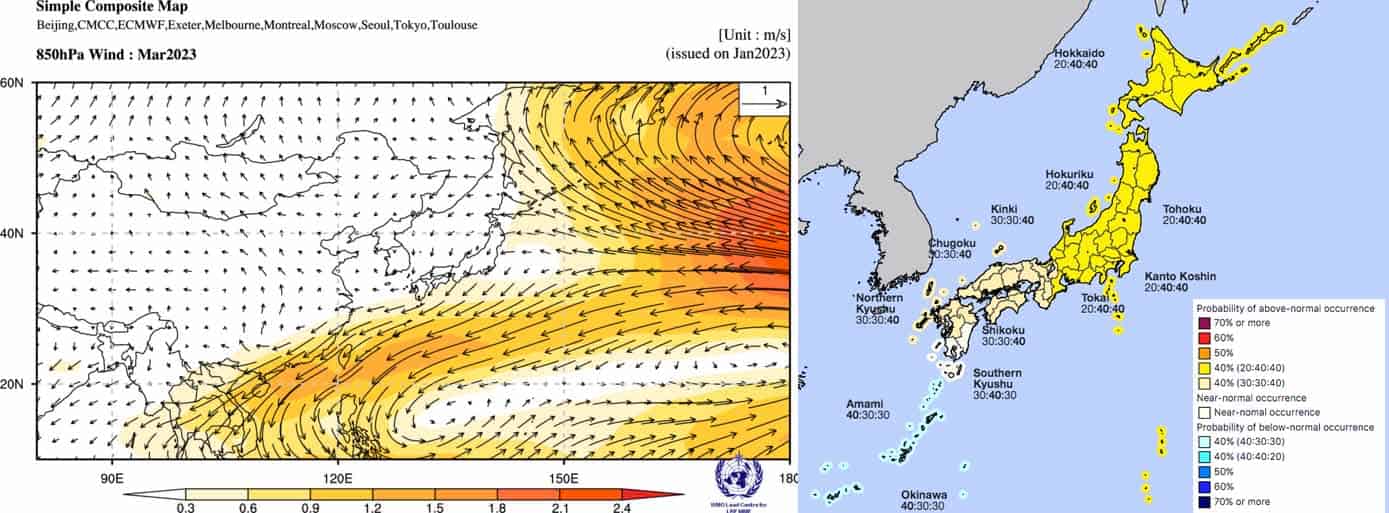
During March the Japow machine typically winds down as that vital link between the Siberian High and Aleutian Low begins to break down. Japan experiences more variable weather and larger temperature fluctuations as alternating high-pressure and low-pressure systems migrate out of the west.
On top of this, the current La Nina is in its final throes – sea surface temperatures across the tropical Pacific have now eased below the BOM’s La Nina thresholds, but the atmosphere is yet to respond. By March, La Nina’s fingerprints on seasonal models have greatly weakened, indicating we’re not likely to receive any more assistance to Japanese snowfall from this handy climate driver.
With a slight increase in winds out of the east, both models andJMA expect we’ll see average or above temperatures across Japan during March, as well as average or below precipitation over central and western Honshu. The most likely outcome is that we’ll see average or slightly below average snowfall throughout Japan for the month.
That’s it from me guys and gals. This is the last outlook of the Japanese season, but keep up to date with my Weekly Japan Forecasts, which I’ll keep issuing every Thursday or Friday until the end of February.
Grasshopper


