2025 Australian Season Wrap – Long, Consistent and Pretty Damned Good
Mountainwatch | Reggae Elliss
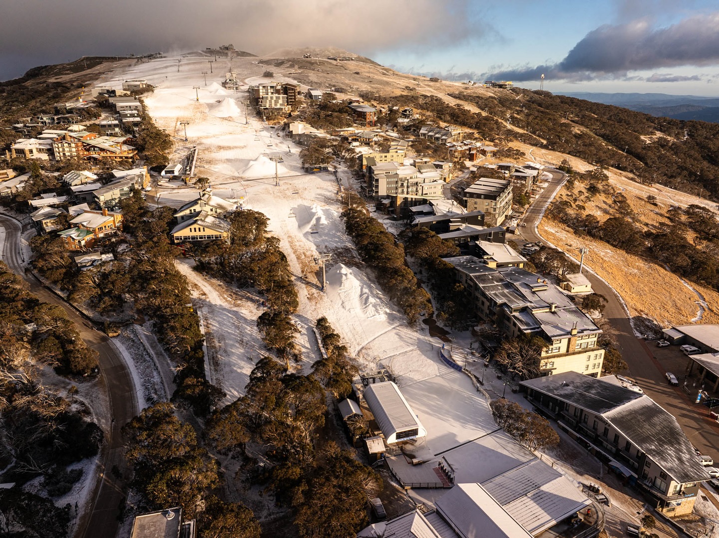
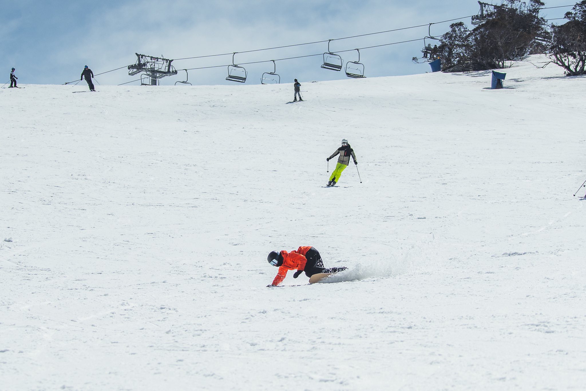
The 2025 snow season has finally wrapped up, Perisher and Thredbo closing lifts two days ago while Buller, Falls Creek and Hotham closed on Sunday. It was a good, long winter for the major resorts with four strong storms dropping good snow totals while the snowmakers had plenty of opportunities to add to the natural cover.
Snowy Hydro’s snow depth reading at Spencers Creek, altitude 1830m, peaked on September 1st at 220.4cms and today’s reading is 129.9cms. On this day last year and in 2023, the reading was zero.
While Buller, Falls Creek, Hotham, Perisher and Thredbo all had long seasons, it is worth noting that it was a different story for the smaller resorts like Selwyn and Mt Baw Baw, which due to their location on the edge of the Great Dividing Range and lower elevation, missed out on the big snow totals enjoyed at higher elevations by the major resorts.

During the storms the snow level only dropped below 1500 metres a few times, a good illustration is that the roads in Thredbo Village, elevation 1380m, only had to be cleared on eight days all season. Selwyn and Baw Baw copped a bit of rain during the storms and had marginal mid-season snowmaking temps, so their snowpack was fragile for most of the season, both resorts closing on September 7th.
Charlotte Pass also closed early on September 14th, but given the good snow cover at the time and low mid-September visitation in all resorts, that appears to understandably based on a lack of customers rather than a lack of snow.
Prior to the season long-term climate drivers were neutral and expected to stay neutral for the winter. While La Niña or El Niño influences were not on the cards, very warm sea surface temperatures were pointing towards above average winter temps for Australia, including the southeast of the country.
A neutral winter is not a bad thing and while the temperatures across 16 weeks may be a slightly above average, as The Grasshopper pointed that out in a pre-season outlook, that did not mean we wouldn’t experience cold winter storms and periods of below-average temps:
“Short-term drivers like the Southern Annular Mode will determine whether storms are be pushed to the south (positive SAM) or the cold westerly winds are further north (negative SAM) allowing storm to cross the Australian Alps, dropping snow as they do.”
The weeks leading into the season opener were dry and relatively warm, with limited snowmaking opportunities. The exception was Buller which, thanks to its all-weather snow factories, had produced 15000 cubic metres of snow. However, the week leading into the storm saw a few good nights snowmaking and the chance of lifts opening in other resorts. The snowmaking focus was on beginner/intermediate areas, but outside of that terrain the mountains were green.
It was shaping up as a typical opening weekend, mainly social with live music, fireworks etc. and limited terrain open for skiing and snowboarding. Buller and Thredbo announced that some lifts would open on the first day of the season, Saturday June 7th. Mount Buller’s snow factories had produced 15000 cubic metres which was pushed out on Bourke Street while Thredbo’s Friday Flat had a good cover thanks to four consecutive snowmaking nights.
Perisher also planned to have a beginner’s snow runner open Front Valley, but after a two solid nights snowmaking, the resort announced the Village 8 chair would also open for day one of the season.
The forecast however was posiitive, calling for a storm and good snowfalls across the opening weekend. In a case of perfect timing the cold front crossed the moutains on the Friday night June 5th and snow falls continued across the weekend.
It was one of the best early season storms in recent years with Hotham and Falls Creek reporting four-day totals of 70cms, Charlotte Pass and Perisher 60cms, Thredbo 50cm and Mt Buller 35cms. The strong WNW winds also blew in a lot of snow, creating blizzard conditions at times and hit a peak at Thredbo’s top station of 90km/hr on Saturday night.
The resorts tried white for green, allowing all the resorts to get at least a couple of lifts spinning on the opening weekend and the season was underway. A run of cold clear nights during the following week saw the snowmakers add to the cover and more lifts opened the following weekend.
We didn’t have to wait long for the next storm with the first of two back-to-back fronts hitting on Monday, June 23rd. That front was warm with howling northwest winds hitting 113km/hr at Thredbo top station and it dropped a heap of rain overnight, Perisher recording 73mm over a 10- hour period from 10pm Monday to 9am Tuesday morning while Thredbo and Falls Creek recorded around 60cms over 12 hours. Hotham’s rain gauge measured a massive 88mm by 7am Tuesday morning when temps finally dropped and the rain turned to light snow.
Fortunately, the second front carried a lot of moisture and cold air, the Grasshopper writing in his forecast on June 23 that the “cold air will arrive during the latter half of Tuesday, bringing heavy snowfall and blizzard conditions through Wednesday.
“By Thursday morning, we should be looking at totals of 25 to 40 cm throughout the resorts, with 50+ cm possible in the more exposed terrain, although Mt Baw Baw is expected to get about 15 to 25 cm.”
Those totals came through and a cold air mass behind the storm turned on a couple of the best June powder days in a long time. The month closed out with cold and mainly clear weather, a lot of snowmaking and more lifts terrain opening.

A weak cold front at the start of July brought a moist southeast air flow and a few centimetres of high elevation snow but rain down low, Baw Baw receiving 54mm on July 2nd. That was followed by clear but relatively warm weather with minimal snowmaking opportunities and gusty pre-frontal NW winds with a couple of cold front on the way..
The Grasshopper had been watching these systems approaching and in his forecast on July 4th he noted that the first from had weakened a little and that snow totals would not be as high as previously expected:
“Models are still track for a couple of storm systems to bring snow to the Aussie Alps from Tuesday, the 8th, to Friday, the 11th, but have backed off a touch on totals, which are now in the ballpark of 20 to 40cm.”
The first snowstorm dropped 10-15cms from late Tuesday afternoon into Wednesday, but the accompanying winds were howling, hitting 128km/hr. at Thredbo’s top station. On Wednesday July 9th the wind impacted lift operations in all resorts with some chairlifts on hold.
The second front on Wednesday night dropped another 15-20cms overnight and snowfalls continued throughout the day and we had another 10-25cms by Friday morning. The temps were cold and the snow quality excellent and in my Thredbo snow report on July 11tth, I described the previous day as “up there with one the best days in years, a classic storm day – windy, cold and snowing with powder turns into the afternoon.”
The fact the storm was during the first week of school holidays made it that much better, the resorts opening more lifts and close to 70% of terrain open by the end of school holidays.
We didn’t see any big storms during the second half of July, but the snowmakers had plenty of opportunities to fill in for mother nature and couple of ten-centimetre top-ups on July 14th and 23rd also kept the base in good shape. There was a lot of wind during that period which blew in a lot of snow, filling in terrain at higher elevations, but also impacting lift operations and all resorts had a few days with exposed chair-lifts on wind-hold. Not what you want in school holidays.
The first two weeks of August were a mixed bag, with a couple of wet days in the first week that resulted in a freeze and hard-packed snow. The winds were also strong with gusts hitting 102ks on August 5th and 116ks on August 6th and once again wind-hold was an issue.
Conditions improved in the second week of August, cold and clear with lighter winds and the snowmakers had another good run from August 7-13 with the major resorts firing their systems at full capacity. We finally received some August snow on the 16th -17th, with around 5-10cms on both days freshening up the cover. The cold temps behind the front set up a few days of excellent conditions, the groomed runs as good as they get and cold chalky snow and soft wind drifts off piste.
It was around this time that potentially the biggest storm of the season showed up in the forecast models, the Grasshopper writing on August 19th that “we’ll see heightened storm activity, with two or three systems passing over before the end of the week. Models are still all over the shop, but there’s a good chance we’ll cop rain, high-level snow, and strong northwesterlies initially, followed by cooler winds and snowfall to lower levels through the back half of the week.”

By the following week the forecast had firmed up and we had three system heading our way, although the first one was going to be warm and wet, with heavy rain expected. However, the back half for the week was looking good, our forecast models calling big totals which were verified by the Grasshopper: “40-60cm, but a lot more is possible about the upper slopes where some early rain will fall as snow and extras will blow in from the windward slopes. If you like storm riding, you’re in for a treat.”
The front came in as expected, wet and warm on Tuesday, August 26th with widespread heavy rain, the weather station at Perisher recording 79mm between 9pm Tuesday and 6am Wednesday. The second front was much colder with 20-30cms falling Wednesday night into Thursday morning followed by another 20-25cms over the next 24 hours.
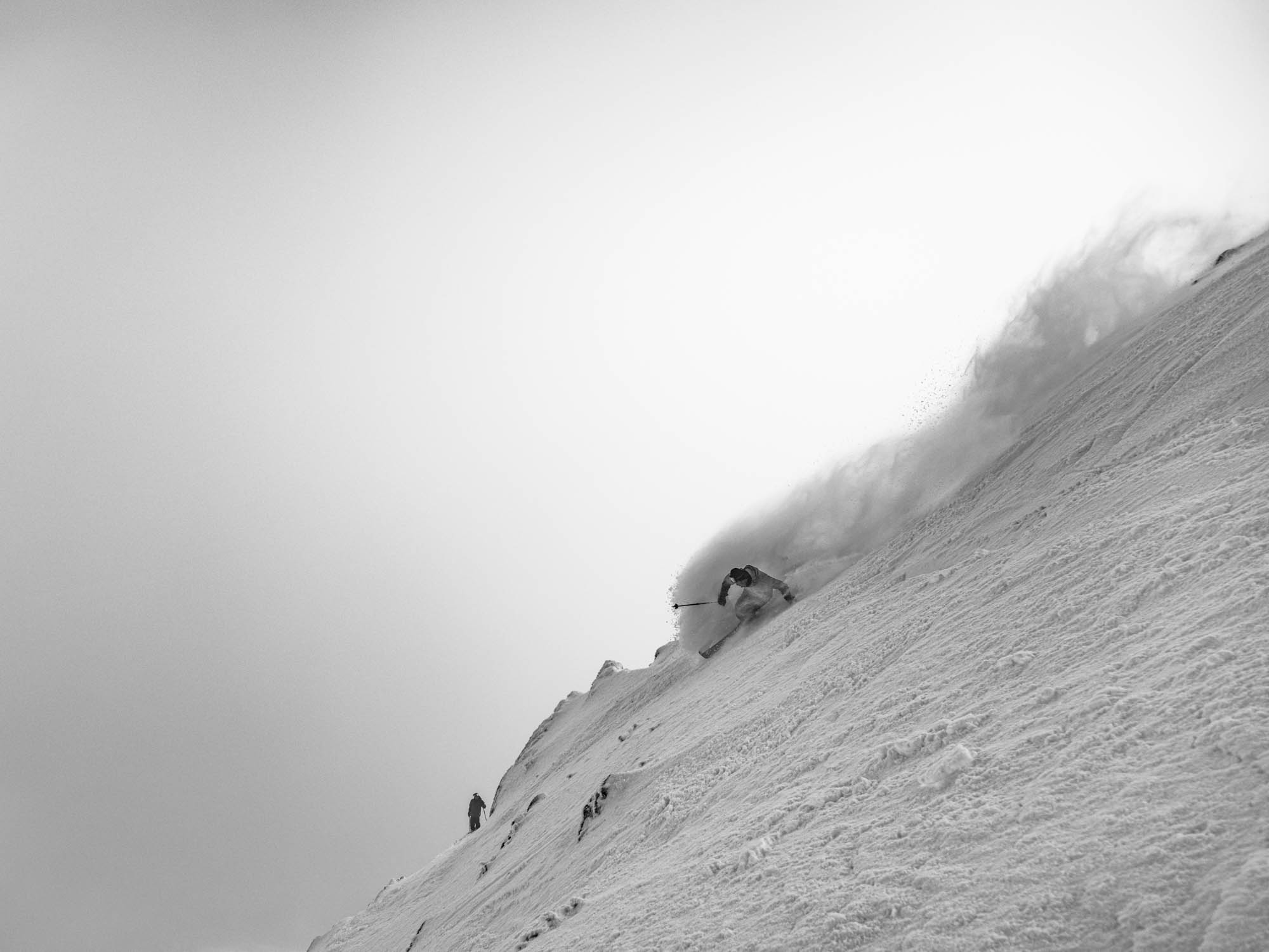
The final front from the system was colder and stronger and crossed the mountains on Friday night, leaving another 25-30cms in its wake with snow settling down to 1200 metres. The winds were howling with blizzard conditions at times over the three-day period, hitting over 100km/hr at higher elevations and, once again, impacted lift operations.
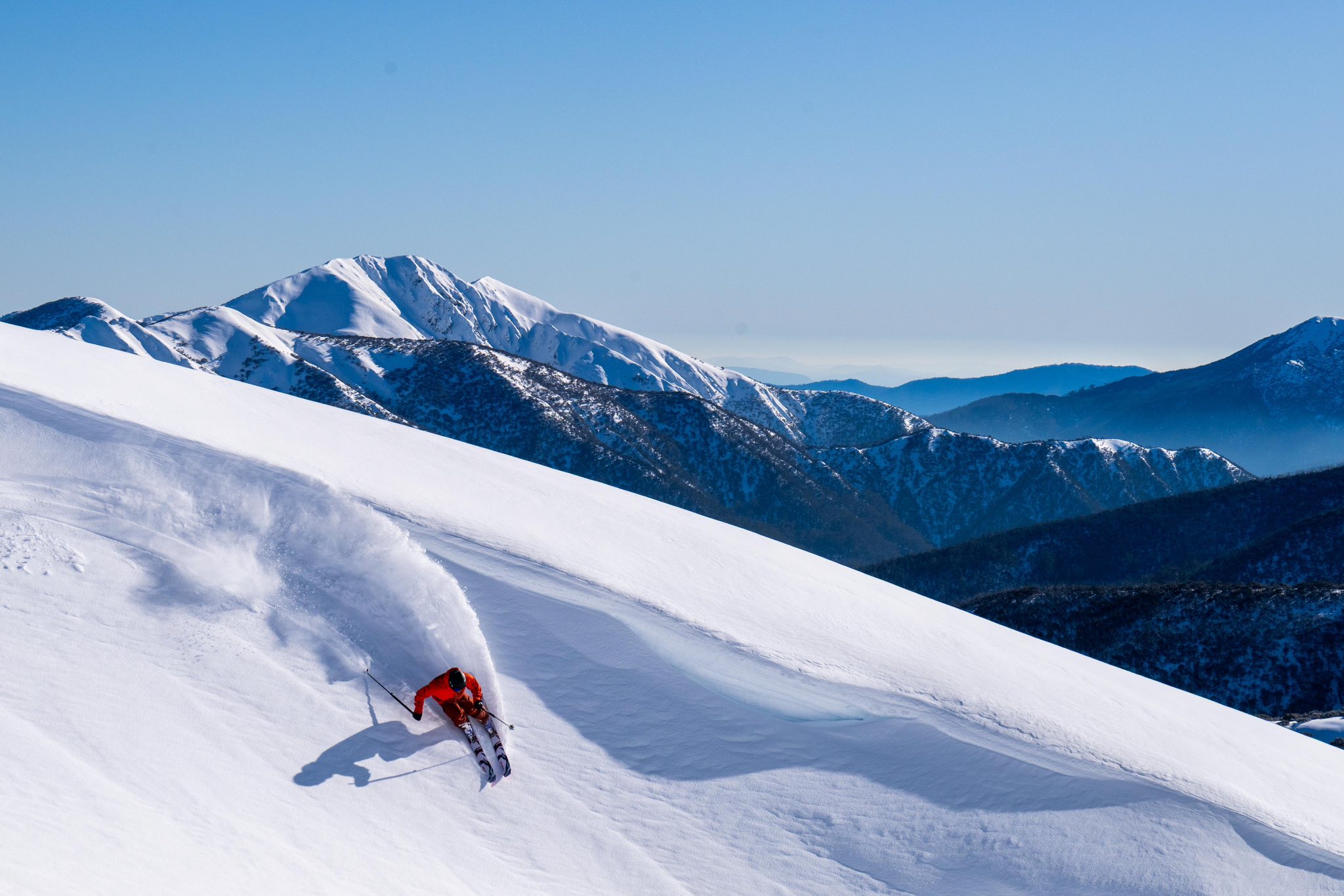
It was hard going on the hill but the rewards were there for those who braved the conditions, three days of powder with wind-blown refills. Classic Australian storm riding.
By the time the storm cleared on August 30th, the three-day snow totals were around 70cms, Mt Hotham recording the biggest total at 78cms. The wind blew in a lot more and Thredbo’s grooming crew told me that the drifts were massive up high, with buried fences and signs, one saying he’s never seen that much snow up there.”
As you’d expect the base was at its deepest after that storm and on September 1st, Snowy Hydro’s snow depth at Spencers Creek was 220.4cms, up from 158.2cms on August 21s and the deepest since 2022.
Cold temps and a small top up on Sept 4th kept the snow in excellent condition for the next week before the it became significantly warmer, the 6am temperature at Perisher’s base at on the September 6-7 being a balmy seven degrees.
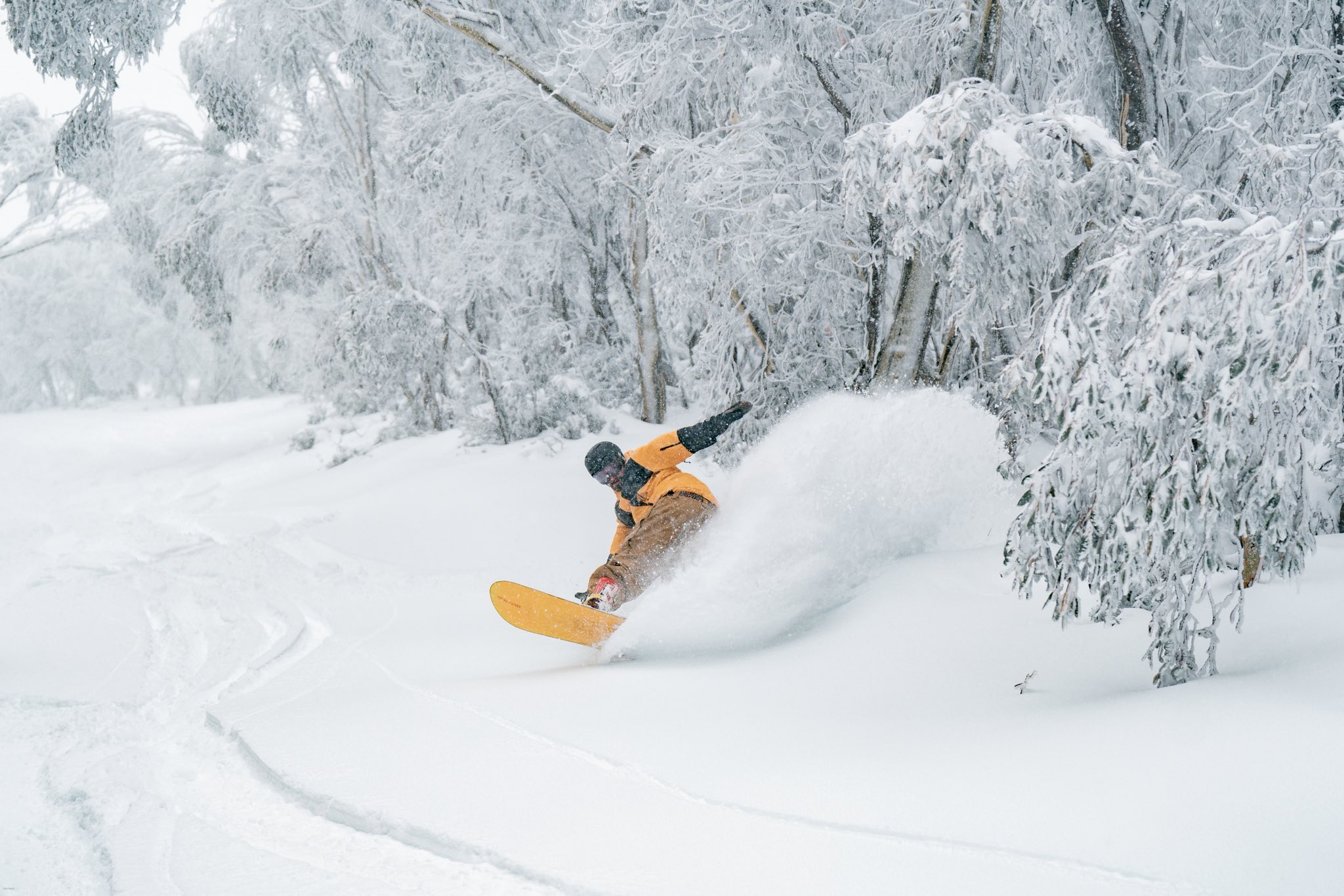
That marked the end of an incredible few weeks that had everything from perfect days on the groomers and in the terrain parks, wild, windy storm riding and a couple of bluebird pow days thrown in for good measure.
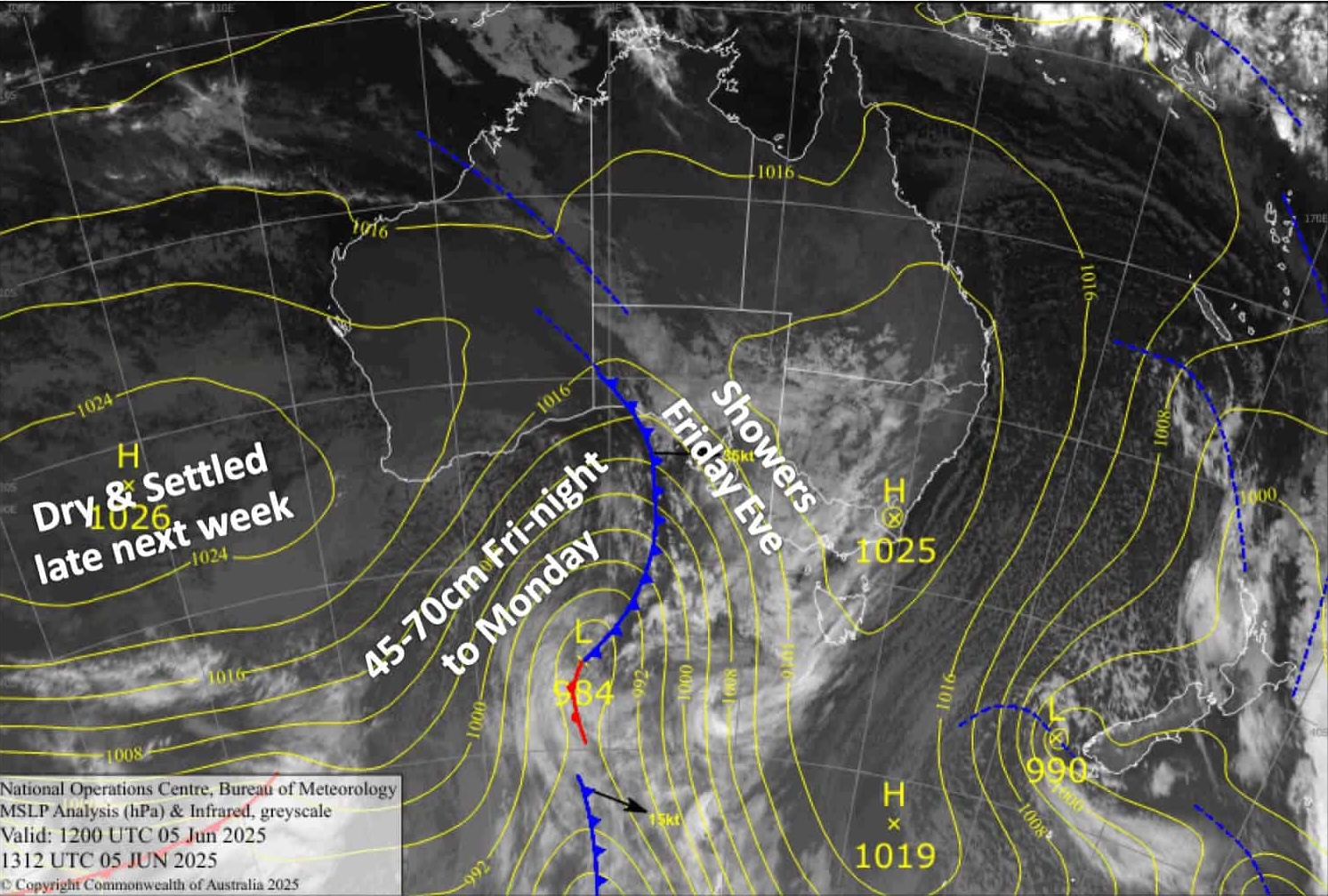
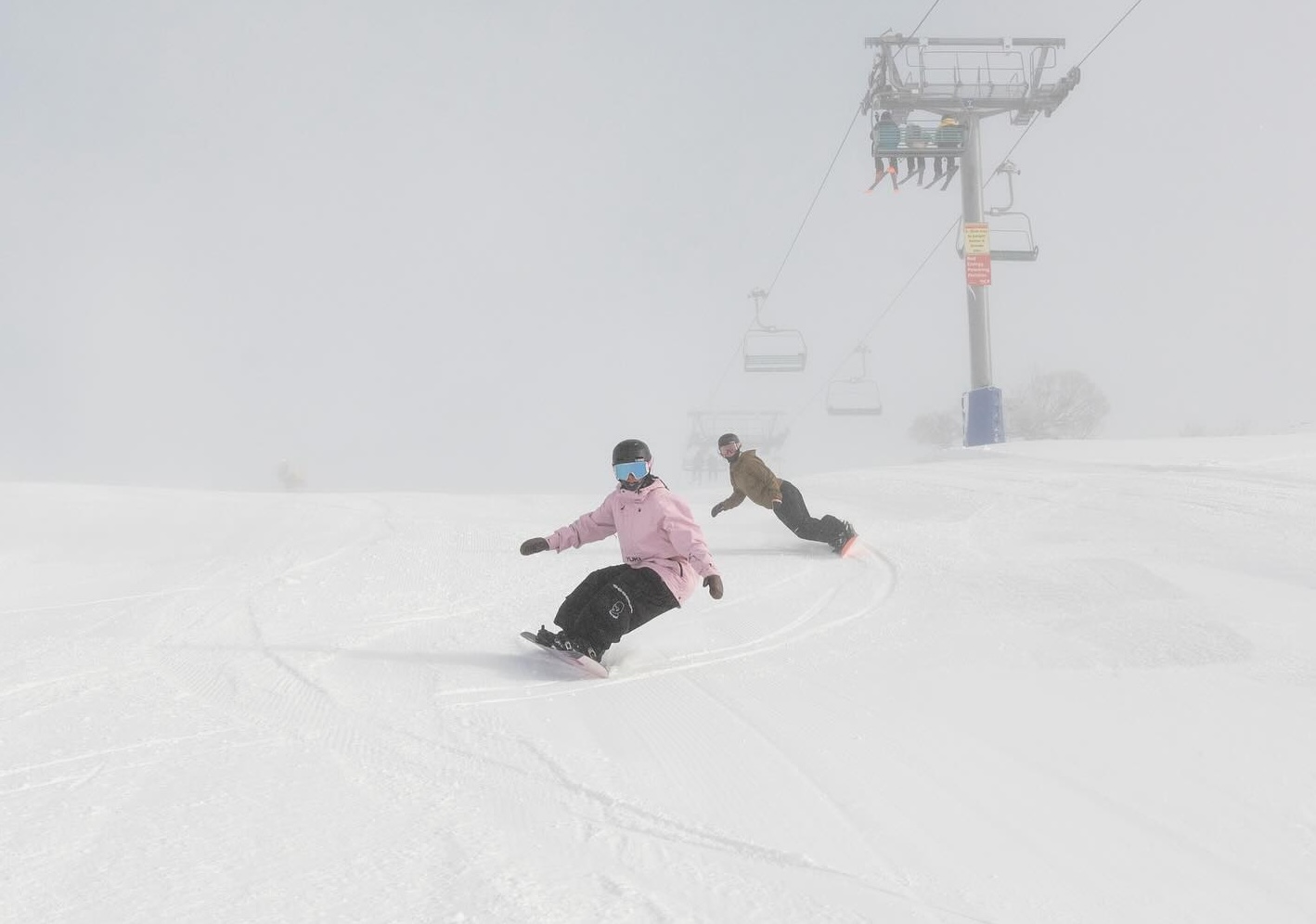
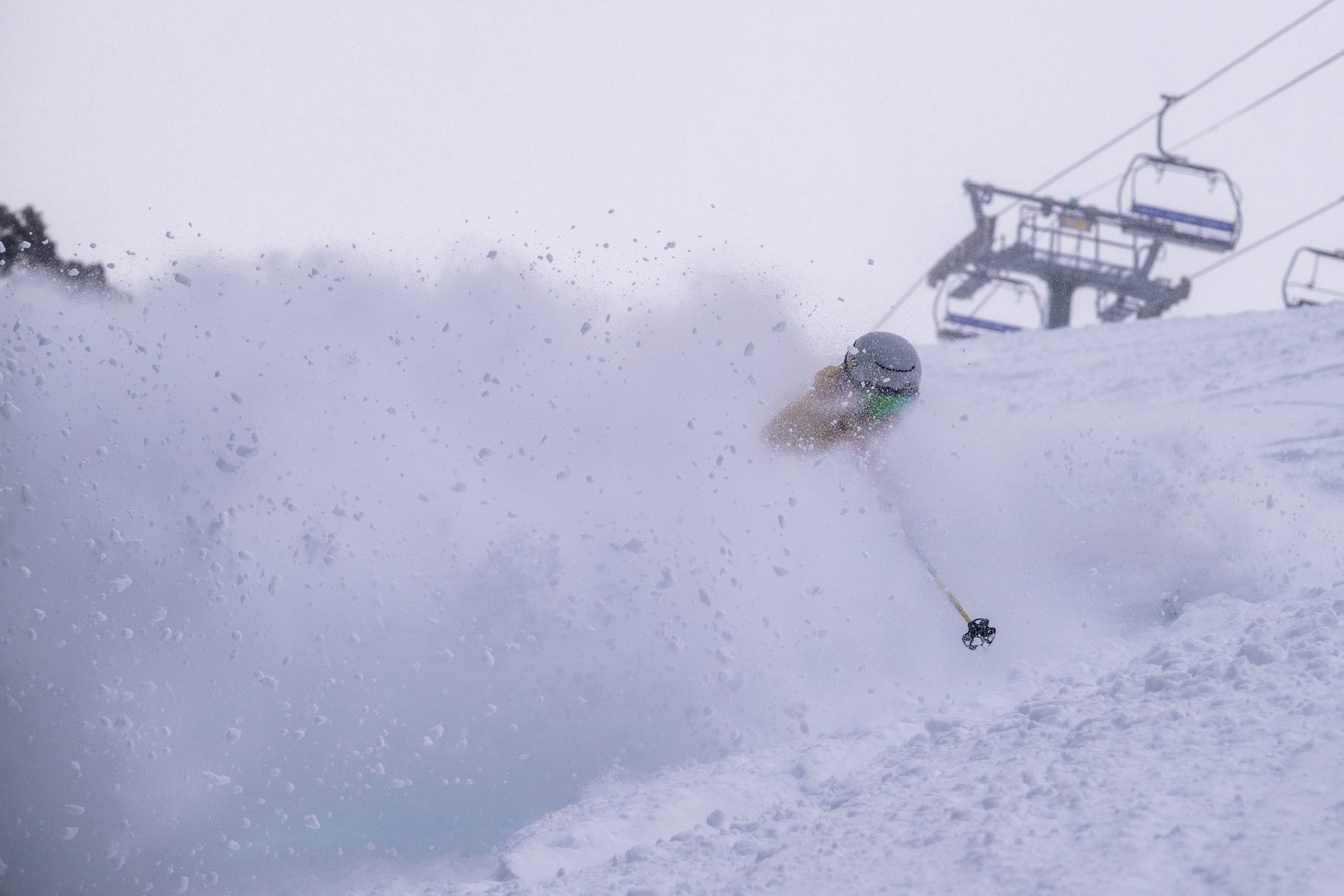
The past four weeks have been a mixed bag with 20mm of rain on Monday the 8th and 15cms of heavy snow in the NSW resorts on overnight on the 10th, fluctuating temps with the occasional overnight deep freeze, a few showers but consistent hairdryer northwest winds and an accelerating snow melt. The snow has been fun, good spring snow in the morning but a bit slow and sticky by late morning. We even had a late season snowfall last week with creamy powder turns last Thursday and Friday.
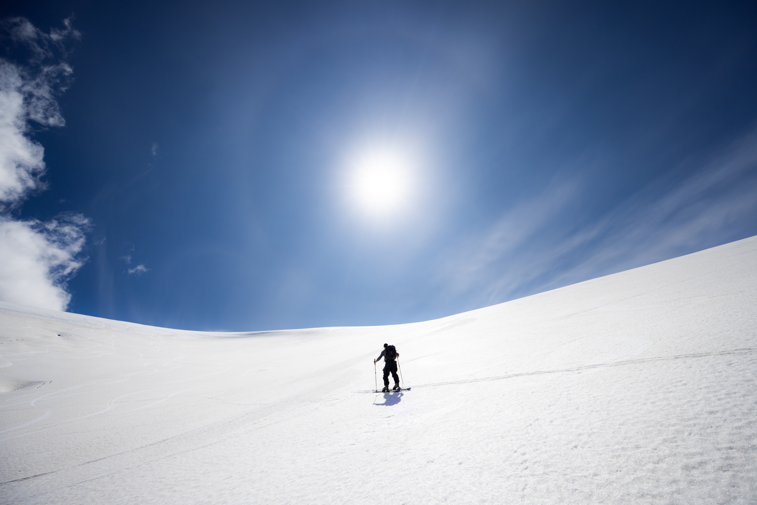
Yesterday and today have been sunny with light winds, perfect for a hike into the backcountry where there is still plenty of snow. Snowy Hydro released the latest snow depth reading at Spencers Creek today and it is 129.9cm and while the resorts are done for 2025, there are a few weeks left on NSW’s Main Range and no doubt plenty of people will be keen for some spring touring.
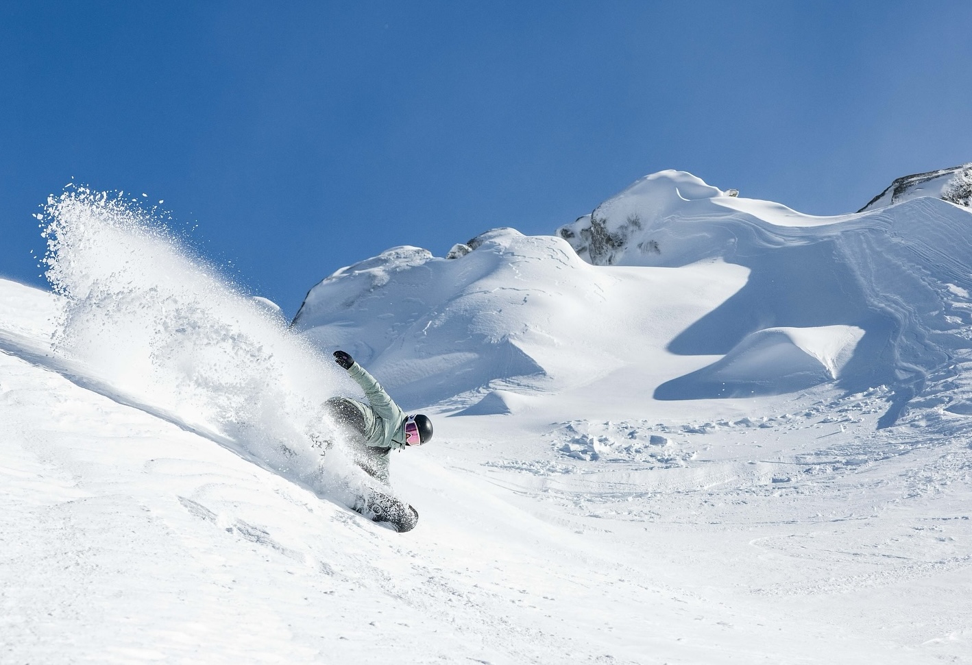
After the past two seasons it was great to experience a good winter, one where lifts were open for 122 days from June to October, a peak above-average snow depth, lengthy periods of great conditions, powder days, wild weather and more. It has been a long season and many locals have well over 70 days skiing under their belt. I even know a couple who have cracked the magic 100 days.
This season was a reminder that we do get good snow in Australia and some of the best skiing and snowboarding you’ll have is when your home resort is on. I reckon we are due for a few good seasons in a row, so bring on 2026. Have a great summer.


