AUSSIE WEEKLY SNOW JOURNAL – It Came, It Snowed, It’s Still Snowing
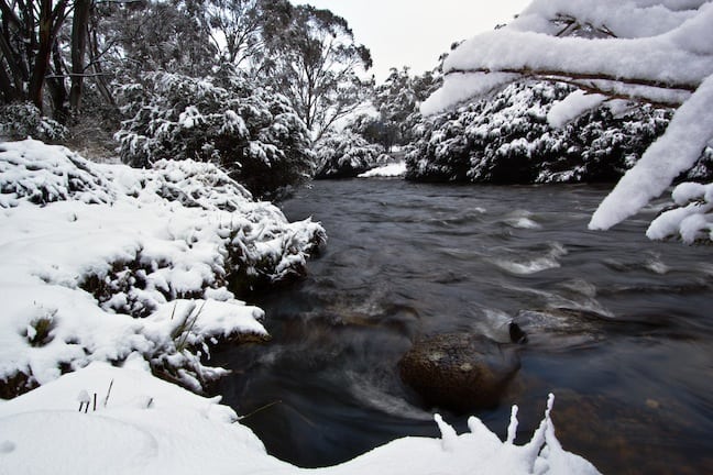
The mighty Thredbo River, In all it’s white glory Image:: Steve Tognazzini
Aussie Weekly Snow Journal | Alex Horvath
Being a skier or a snowboarder in Australia can be climatically challenging at times, riding in the rain and early morning pre-dawn missions up the hill for “10cm pow” days that turn out to be 5cm of soggy crud are challenges we face regularly. Then you get days like today, when you are reminded of the true reason that we all live for the snow in Australia. The air is crisp, flakes are falling and there is between 30-50cm of new snow on the ground depending on where you look!
The anticipation in early morning lift lines on days like today is electric. The stoke that is brought about when the snow-gods align and grace our hills with massive falls of Ullr’s finest is contagious. High fives run rampant and yelps and yells echo above the silent slash of massive pow turns.
As I am sure you have heard by now today in the mountains is epic. Resorts across Australia were lucky enough to receive between 30-50cms of new snow over 24 hours, let me tell you this storm could not have come at a better time!
Snow so far
Opening weekend got the community excited and it was fantastic to see so much terrain open. Unfortunately, mid-week and into last weekend saw an increase in freezing levels with some rain, then a big freeze that firmed up the cover and literally made it bullet-proof!
Over the past few days the system that we saw appearing early last week panned out as forecast, in-fact the snow that fell came through even lower then expected with only a slight reduction in the forecasted 40-60cm falls. Snow fell to very low levels including in regional centres like Orange, Bathurst, Oberon and the Blue Mountains.
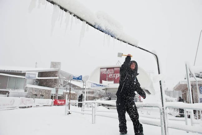
Clearing fresh in preparation for first lifts Image:: Courtesy of Mt Buller
Weather for the remainder of the week
A ridge of high pressure will dominate the mountains over the next few days and into the weekend. The westerly flow is likely to bring a little more snow today, conditions will likely remain fine with cold nights providing a great opportunity for the resorts to make loads of snow! Keep an eye on the detailed forecasts and our 7-day models.
The significance of new snow this early
With some resorts receiving up to 50cms of new natural snow from this storm front lets take a closer look at the wider implications of this.
Firstly the timing could not have been better, school holidays begin on Friday 1 July and this is one of the busiest periods in the mountains, accommodation providers and resorts alike will be breathing a welcomed sigh of relief with conditions looking this good. Resorts will now be able to prepare and groom lots of new terrain and as grooming is completed we will gradually see staggered openings of lifts and resort areas.
For advanced riders this storm means that off-piste and backcountry areas are now being in filled, this means access to more and more challenging areas as conditions allow. Resorts will be racing to build and open new terrain features in the parks this week, this will hopefully mean that we will see some new jumps and jibs open in the very near future!
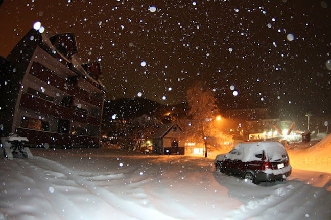
Heavy snow throughout last night Image:: Courtesy of Falls Creek
Resort breakdown and snow totals
NSW
Perisher received 50cms of new snow over the last 24 hours. Overnight temperatures hit -4.0°C and are currently sitting at -3.1°C with light to moderate winds. This means the snow is nice and dry and wind loading should be creating some nice drifts. 11 lifts will operate today and lift tickets are still discounted, I wouldn’t expect this will continue once more lifts open so be quick! Summit quad at Blue Cow would be my pick of the day
Thredbo received a reported 40cms over the last 24 hours with around 20cms falling in the village. My own investigations with crew on the ground have reported that some areas in the alpine have received closer to 50cms!! High noon and the Cruiser area will be the pick with the possibilities of freshies all day in the cruiser trees! Thredbo resort operations will be working hard to open new terrain asap.
Selwyn Snowfields are reporting 17cms of new snow over 24 hours. 2 lifts are operating and 5500m3 of man made snow has been produced adding to the natural totals. A small amount of snow is expected through the rest of the day.
Charlottes Pass around 50cms of new snow has fallen at charlottes in perfect timing ahead of their planned opening on Friday 24 June. More snow is expected today!
VIC
Falls Creek has received 24cms over 24 hours adding to a strong 40cm base. Temperatures are hovering around -3.1°C meaning the cover is super dry! Snow is still falling and more is expected through the day. The resort will be monitoring conditions through the day and will open more lifts/terrain as conditions allow.
Hotham is reporting 29cms of snow over 24 hours bringing their average natural snow depth to 45cms. Temperatures remain cold sitting at -4.4°C. 5 lifts will operate with more opening as conditions allow. Discounted lift tickets will remain until further notice.
Mt Buller received 22cms of new snow over 24 hours with more snow expected today. Temperatures remain around -3.0°C keeping the snow light and dry. Lift tickets are currently half price so take advantage while you can!
Mt Baw Baw was happy to see 20cms of new snow fall last night, 3 lifts are operating and more snow is expected today.
Lake Mountain is looking very white this morning as a result of the 19cms that fell last night. Trails have been groomed and the resort is expecting some more snow today.
Cloud seeding could see further snowfalls above forecasted totals
If Snowy Hydro is seeding this storm (they seed 50% of suitable weather systems) then we could see a nice top up of further snow across NSW resorts today. For a great breakdown of what cloud seeding is see this explanation
If you are in the mountains get out and enjoy these awesome early conditions! If not keep an eye on the cams and forecasts and watch this space!
Perisher forecasts,
snow reports and
live snow cams.
Falls Creek forecasts,
snow reports and
live snow cams.
Mount Buller forecasts,
snow reports and
live snow cams.
Charlotte Pass forecasts,
snow reports and
live snow cams.
Hotham forecasts,
snow reports and
live snow cams.
Thredbo forecasts,
snow reports and
live snow cams.
Mount Baw Baw forecasts,
snow reports and
live snow cams.


