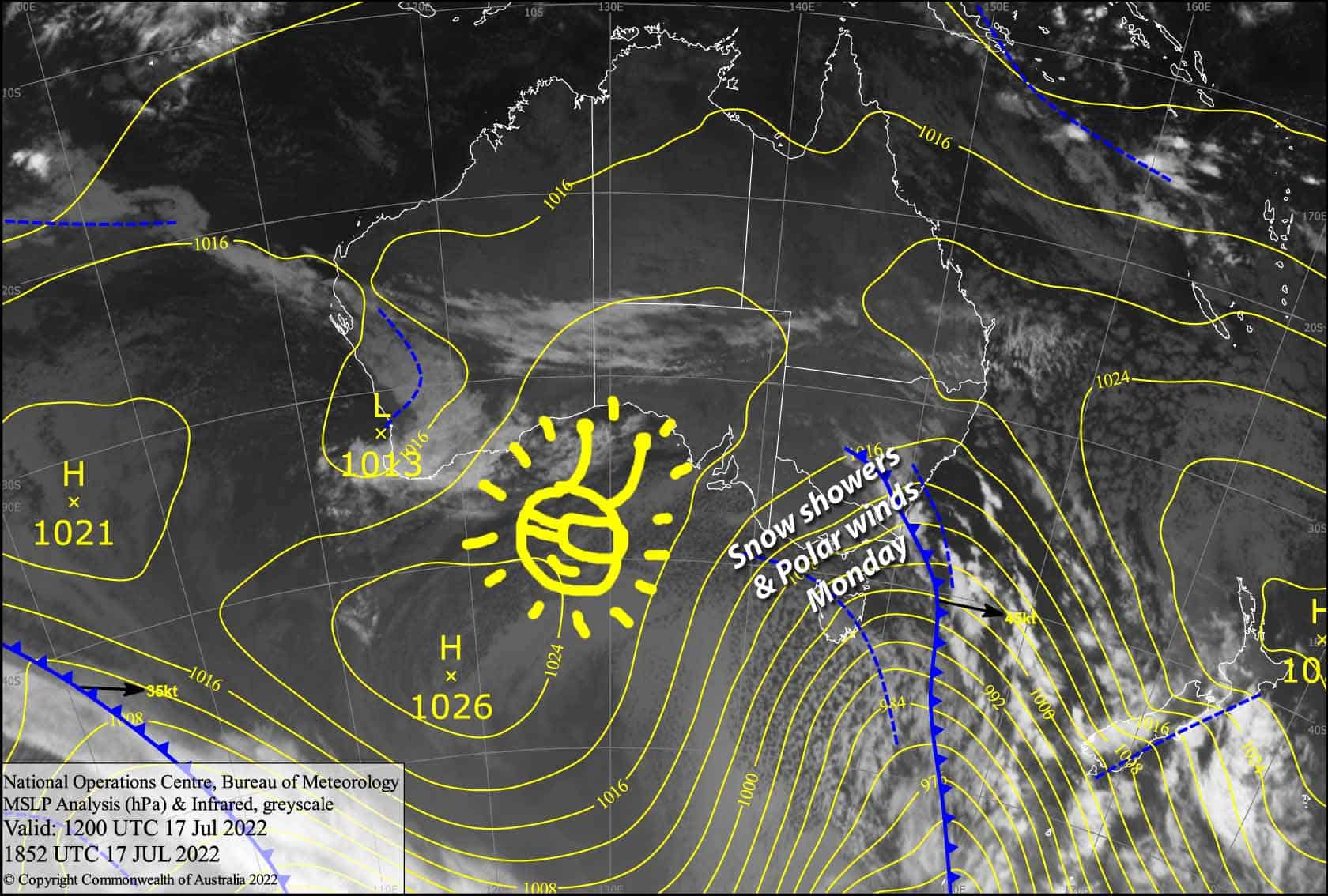
Australian Forecast, July 18 – Left Over Flurries and Polar Winds Today, Sunny Tuesday & Wednesday
Mountainwatch| The Grasshopper
Valid Monday 18thJuly to Wednesday 20thJuly
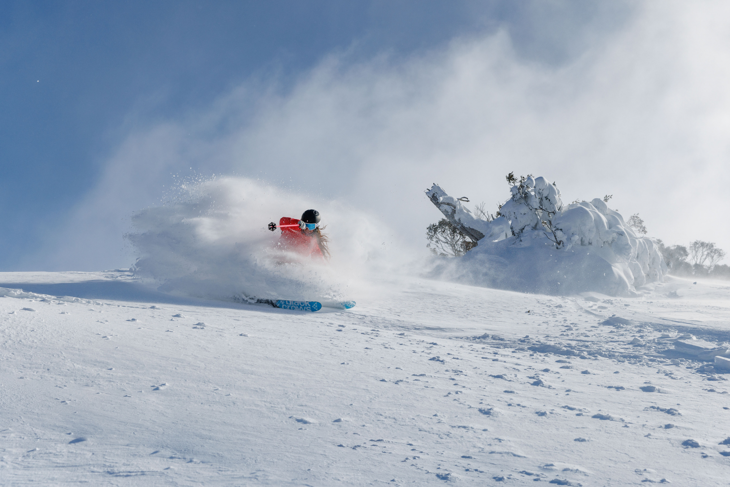
Rug up warm today guys and gals, because its positively Antarctic out there. The apparent temperature at Thredbo Top Station is currently -24. It’ll be worth it though because the front yesterday has added a nice fresh, fluffy coating to the slopes and there’ll be more light snow showers throughout the day. Some good snow totals out of yesterday’s storm, Falls and Hotham reporting 35cms, Thredbo and Perisher 30 and Buller 15.
Clear your schedule for Tuesday and Wednesday, because skies will clear up and winds will drop as a high drifts eastwards onto Tasmania. Temps will remain nice and icy, so the snow guns will be able to keep up the good work.
Monday 18th
Light snow showers and flurries off and on throughout the day. Strong, polar W-SW winds will gradually swing to the south while backing off.
Tuesday 19th
Cloud and any remaining snowflakes will clear during the morning, as a freezing SE breeze turns to the east. Some cloud is likely to return to NSW resort in the afternoon.
Wednesday 20th
A pearler of a day with chilly E-NE breezes – definitely get amongst!
Extended Forecast
Thursday and Friday will see the high over Tassie drift into the Tasman while directing NE winds over the Aussie Alps. It’ll be clear over Victoria, but cloudy with a few spots of drizzle over NSW.
A front attempts to reach us this weekend, but is pushed south as we remain under a stubborn ridge extending up from the high, which ducks under NZ. This will serve up some cloud and northerly winds for Saturday, and plenty of sunshine and smiles for Sunday.
It’s likely a cold front will bring snowfalls across next week Tuesday 26thand Wednesday 27th, possibly into the 28thand 29thtoo depending on whether we see a low spinning up or not. As such, snowfall amounts a wildly varying at this stage.
That’s all from me today folks, get out there and make the most of these great conditions. I’m sending out these forecasts every Monday, Wednesday and Friday.
Grasshopper


