Australian Forecast, June 26th – Groundhog Days as Light Snowfall Continues
Mountainwatch | The Grasshopper
Written early Monday 26thand valid to Wednesday 28thJune
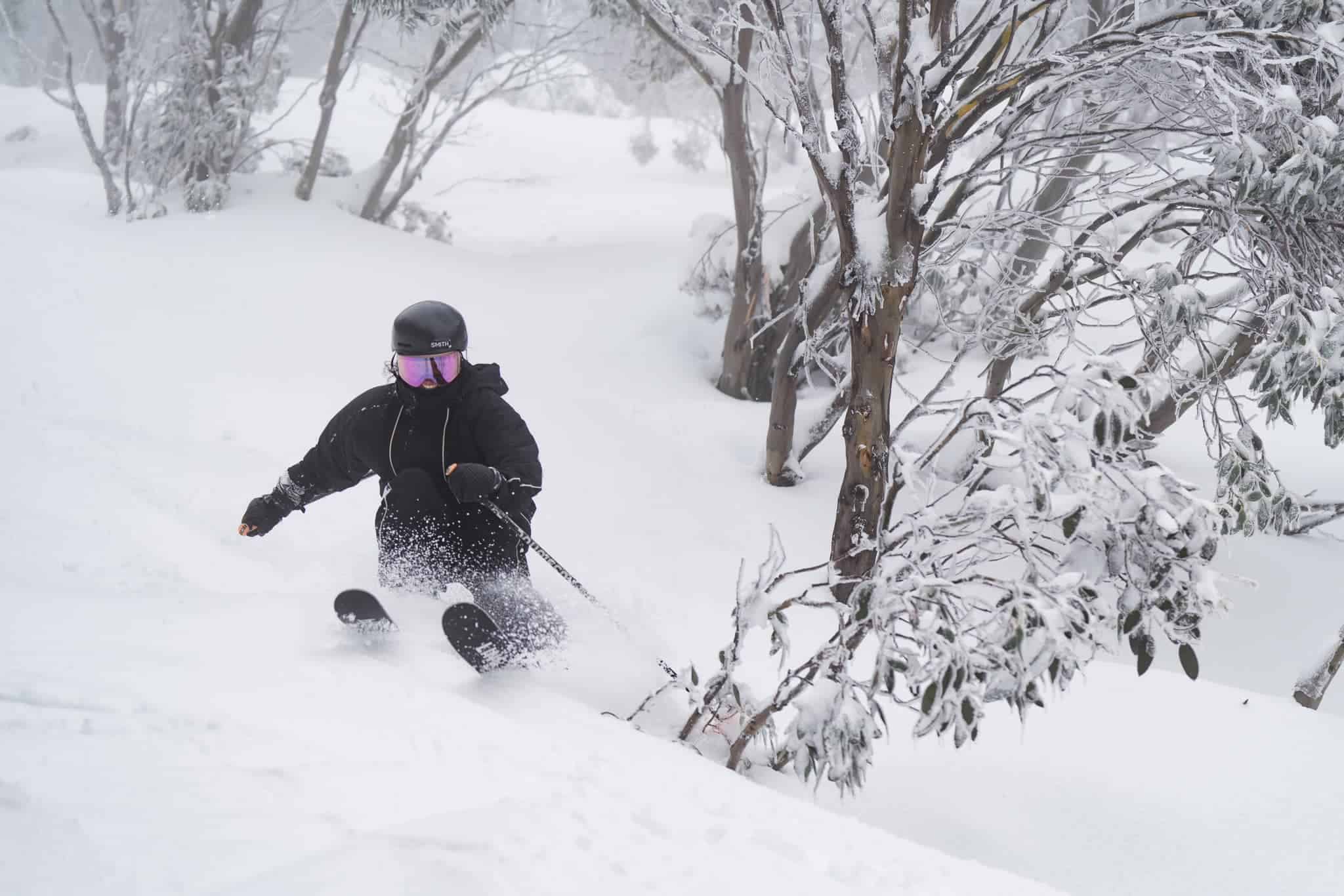
It’s groundhog day as these unsettled westerlies continue to ply us with light snowfall again today. After good snowfall last night and another 10-20cms, the slopes are in top nick.
A further 5-10cm is expected for the remainder of the day, although snow levels will lift a bit this afternoon so that things will start to get a little damp on the lower slopes.
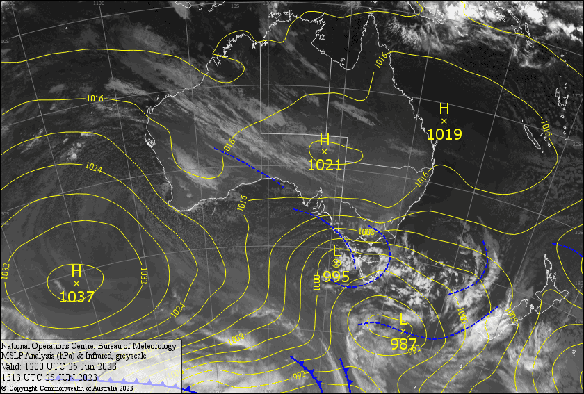
Snow levels will remain marginal, around the 1500-1600m mark, as light flurries continue through Tuesday and Wednesday. High pressure to the north will be keeping a lid on things, so that when a cold front arrives late Wednesday, we’ll see little in terms of weather except for freezing temperatures overnight which will allow the snow guns to fire up again.
Monday 26th
Snow continues to fall today. Mostly light falls are expected, but possibly moderate at times. Snow levels will be sitting around 1300-1400m this morning, although they’ll be a bit higher over Buller and Baw, lifting to 1600-1700m this afternoon. Gale W-NW winds, gradually abating and tending W-SW.
Tuesday 27th
Mostly cloudy with light snow flurries from late morning, falling as drizzle below 1500m. W-NW winds will be strong in exposed areas.
Wednesday 28th
Grey and cloudy with light snow flurries, falling as drizzle below 1500-1600m. There’ll be a decent snow shower over Baw Baw and late afternoon as colder air starts to wash over the Aussie Alps, which should allow for some snow making overnight. Brisk westerly winds will turn a lighter SW during the afternoon.
Extended Forecast
Thursdaywill start out nice and cold and there should be plenty of fresh man-made snow about. Snow showers will start up again at some point, however temps will gradually lift so that by Friday, it’ll be a mix of rain+snow showers. Snow levels will be lower in the east.
Saturday will bring one or two more snow showers as cooler southerly winds arrive. High pressure will bring mostly fine, settled weather Sundayand next Monday
That’s all from me today, folks. See you again Wednesday.
Grasshopper


