Australian Forecast, Monday August 5th – A Skiff of Snow on Monday, then a Dusting Thursday Night
Mountainwatch | The Grasshopper
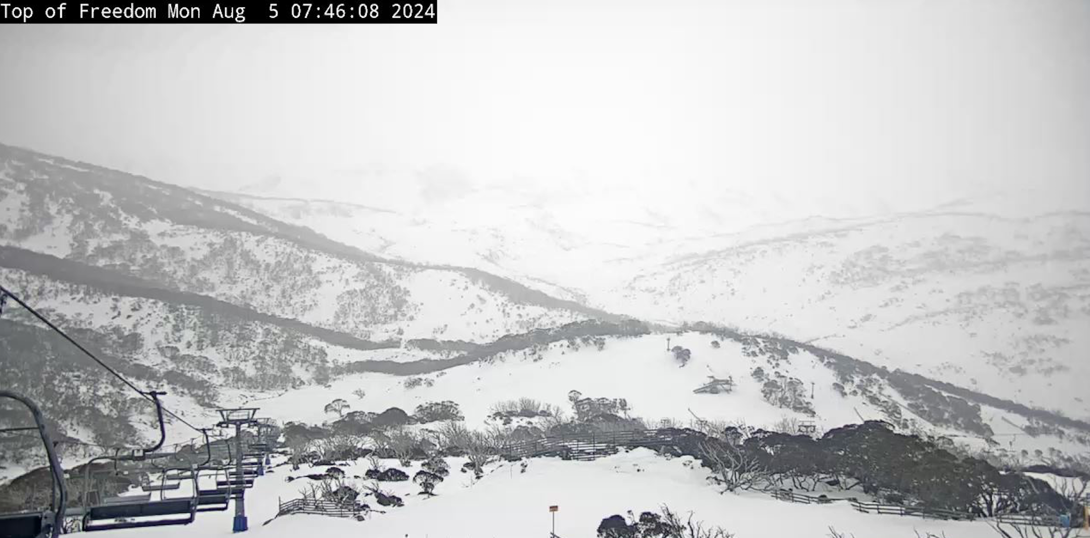
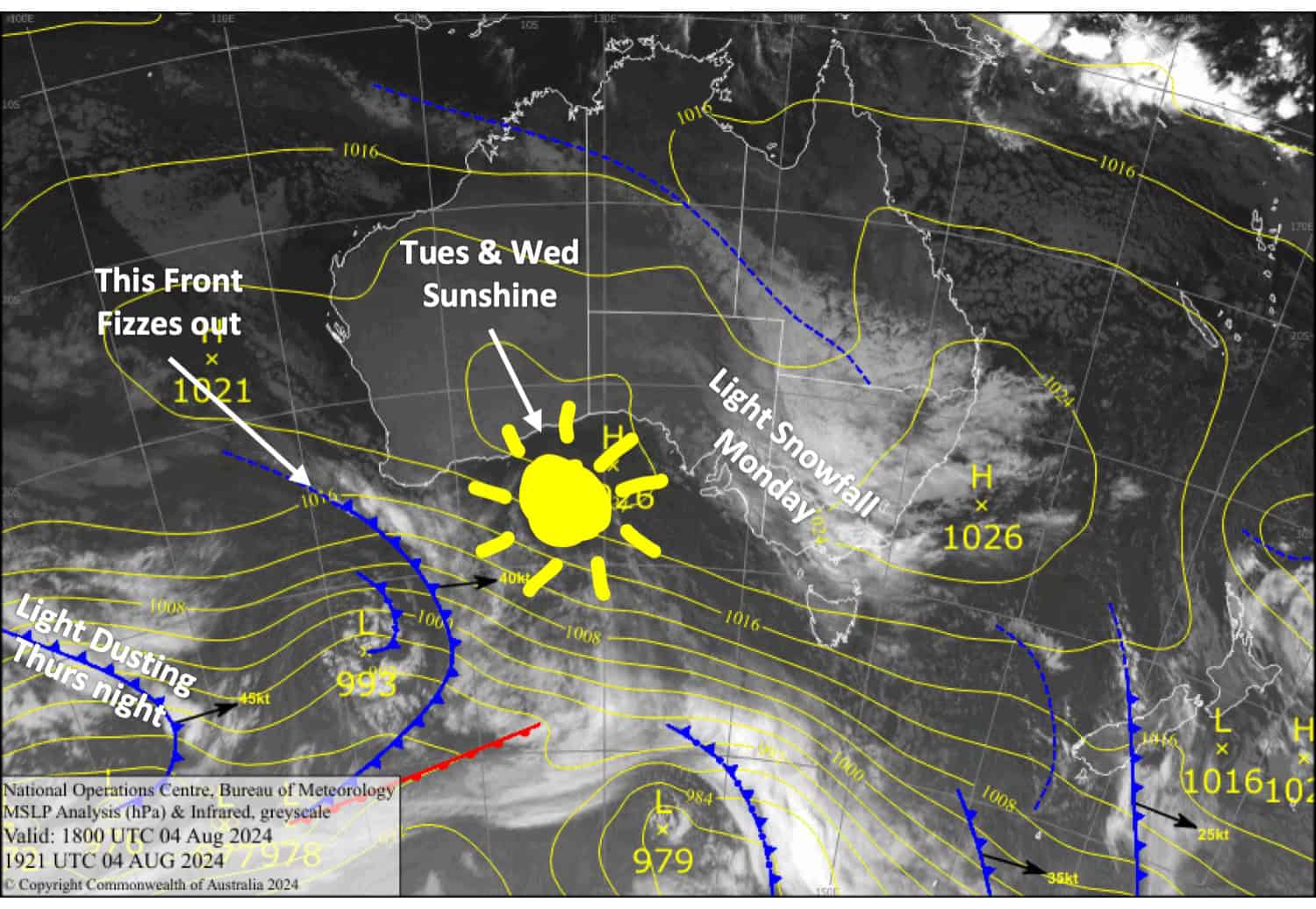
A low-pressure system passing to the north will bring light snowfall to the Aussie Alps today. A 1-3cm skiff of snow is expected in Victoria and less than 1cm for NSW. Tuesday and Wednesday will be mostly fine, but Mt Buller will be exposed to the W-NW winds and a bit murkier, with a few spots of drizzle each afternoon.
Cloud and NW winds will then increase on Thursday as a front from the west approaches. The front will dip south before hitting us Thursday night, leaving us with just the tip, which will dust the Aussie Alps a few centimetres or less.
Monday, August 5th
Snow showers spread over the Aussie Alps in the morning, falling to around 1500-1600m. They’ll be more prolific over Victoria, with only light falls over NSW. Skies will start to clear later in the afternoon. NW breezes.
Tuesday, August 6th August
Fine, apart from a little afternoon cloud as W-NW winds pick up. However, Mt Buller will be a bit murkier in the afternoon with a few spots of drizzle.
Wednesday, August 7th
Any morning cloud will clear for a fine day, but it’ll linger about Buller into the afternoon with a spot or two of drizzle. Westerly winds turn NW.
Thursday, August 8th
Cloud increases over the Aussie Alps as NW winds strengthen. There’ll be a light dusting of snow to around 1500m at night.
Extended Forecast
Skies will eventually dry up on Friday for a mainly fine weekend as high pressure drifts over us. The weather looks to become unsettled around mid-next week, which may initially bring rain before colder temperatures and snow arrive a day or two later.
That’s all from me today, folks. The next forecast is Wednesday. See you then, and have a great couple of days.
Grasshopper
