Australian Forecast, Monday July 1st – The Calm After the Storm
Mountainwatch | The Grasshopper
Published early Wednesday 1st July 2024
Well, the weekend’s storm certainly threw a few curve balls at us. Victorian resorts picked up about 15-20cm, while NSW received 5-10cm as well as 54.2mm of rain at the Perisher rain gauge. Models were picking snow levels to be lower in Victoria – I thought they were having me on a bit as they often untruthfully show this, but this time they weren’t kidding – and now Vic resorts are set up nicely and the snow guns have had a good run as the temps have since been nice and cold.
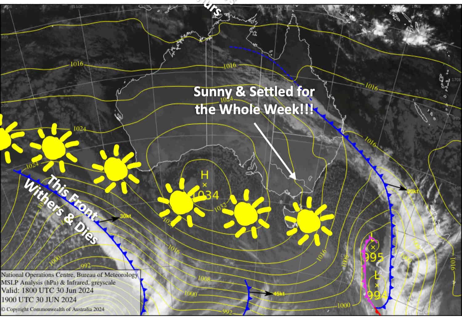
We’ve got a beautiful week ahead with mostly clear, calm skies under the influence of high pressure. It’ll be perfect for getting amongst the fresh powder and great timing for the school holidays. Temperatures will also remain cold, so the snow guns will continue to make it even better.
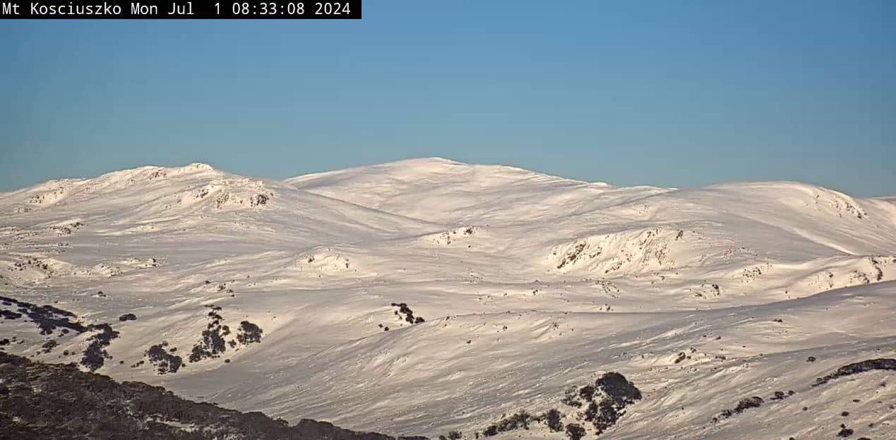
Monday July 1st
A mostly fine day, but a cold E-SE breeze will push in some low-level cloud which may sully the slopes of some resorts (mostly the Vic ones) before the breeze eases in the afternoon. Another good day for making snow.
Tuesday July 2nd
Clear and cold with light breezes, mostly from the north and east.
Wednesday July 3rd
Fine again with a cold start. Light E-SE breezes develop.
Thursday July 4th
A partly cloudy day with an E-SE breeze, with a light spot of drizzle possible on Baw Baw.
Extended Forecast
After a fine weekend, we could see a little rainfall on Monday 8th and Tuesday 9th July as a weak system passes north of us. Between the 11th and 14th of July is our best bet for the next snowfall event. That’s all from me today folks. The next forecast is Wednesday. See you then and have a great couple of days.
Grasshopper


