Australian Forecast, September 2nd – 5-15cm of Snow Today Best Skied on Tuesday before Hairdryer Winds Kick in Wednesday
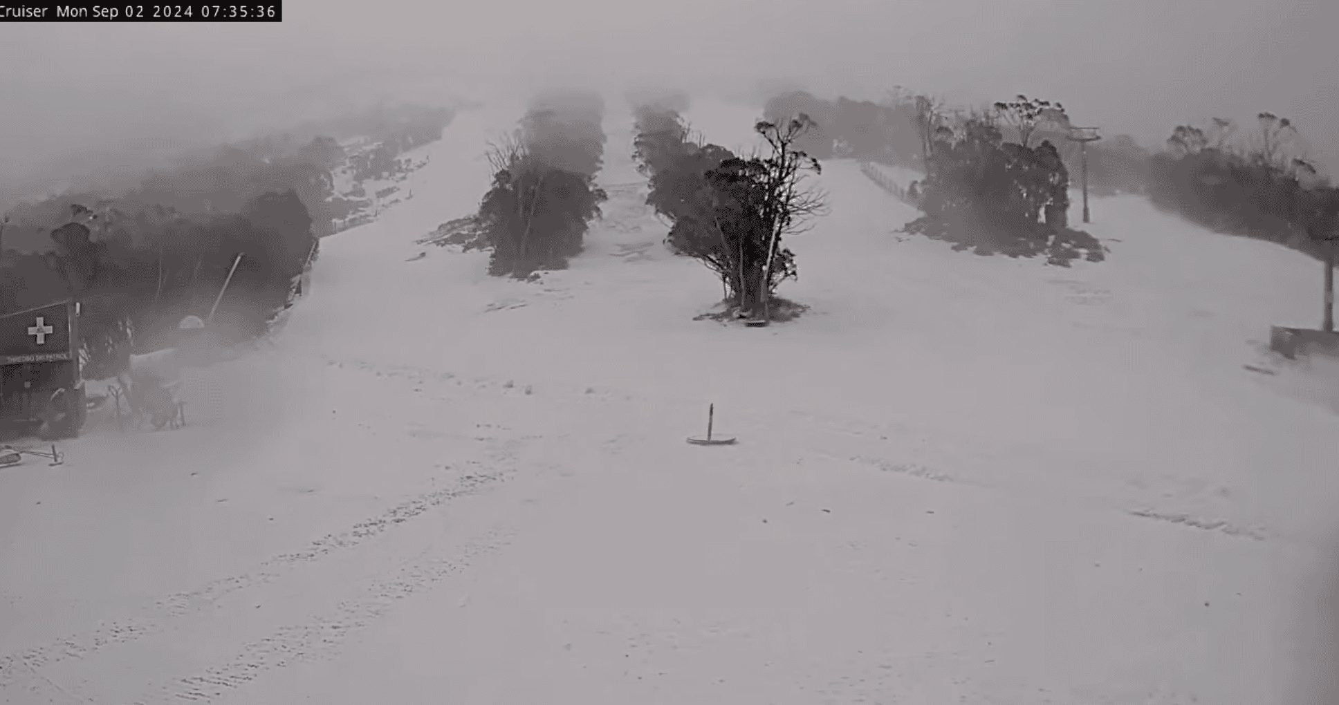
Mountainwatch |The Grasshopper
It was a cruel August, a time we’d expect to see our snowpack grow to its peak alongside blissful powder days. But it hasn’t gone that way, with wet and windy conditions decimating the modest snowpack we had by the end of July. This forced Selwyn to close last weekend and Mt Baw Baw and Buller on Sunday. Mt Hotham will be added to the casualty list when it closes on Wednesday.
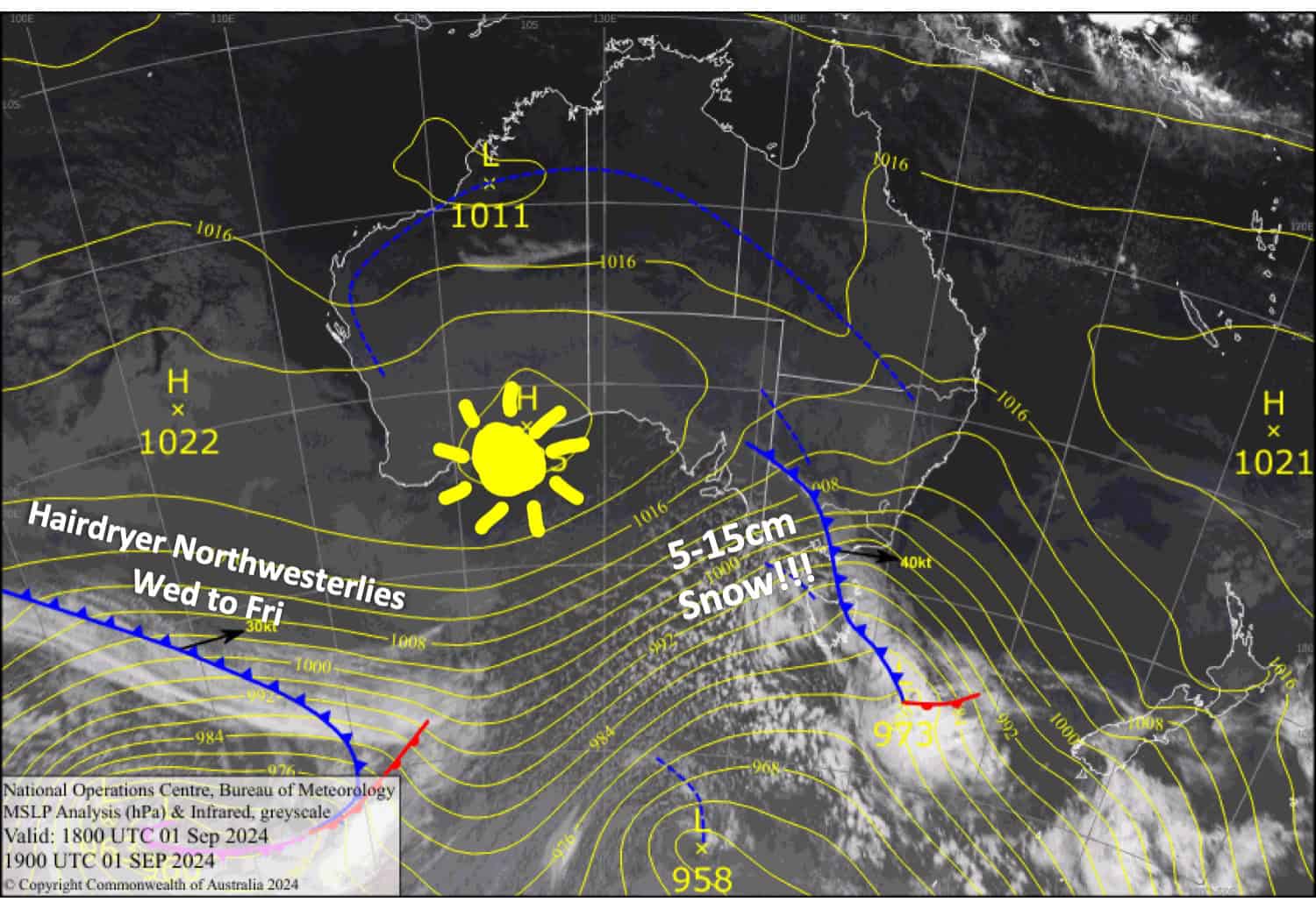
It’s especially cruel as today, Monday, a cold front will drop a tidy 5-15cm to low levels, although strong winds will limit our options for making the most of it. A weak ridge on Tuesday will give a brief window of opportunity by allowing winds to ease. It may be the best of the end as strong hairdryer northwesterlies will kick in on Wednesday and continue the melt cycle.
Monday September 2nd
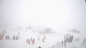
A cold front spreads snow eastwards early morning. Snow will continue to fall throughout the day before clearing tonight, leaving between 5-15cm of fresh powder below base levels. Gale to severe gale northwesterlies turn westerly in the morning, making for blizzard conditions and likely affecting lift operations.
Tuesday September 3rd
Any morning cloud clears to a fine day while strong southwesterlies gradually ease.
Wednesday September 4th
Skies will be clear, but hairdryer northwesterlies will strengthen again, reaching gale force in exposed areas by the end of the day.
Thursday September 5th
Hairdryer northwesterlies will be blowing a gale again. Skies will be mostly clear, but some cloud over western Victoria may bring a few light showers.
Extended Forecast
Hairdryer northwesterlies will continue on Friday before a weak front brings a little rain Friday night into early Saturday.
The rest of the weekend and early next week will bring more westerly winds, but they won’t be as strong as of late. The weather will be mostly fine, although there is a chance of a tiny bit of high-level snow on Sunday or Monday.
That’s all from me today, folks. The next forecast is Wednesday. See you then, and have a great couple of days.
Grasshopper
