Australian Weekend Forecast, Friday September 13th – Winter Creeps Back in a Little Too Late for Most

Mountainwatch | The Grasshopper
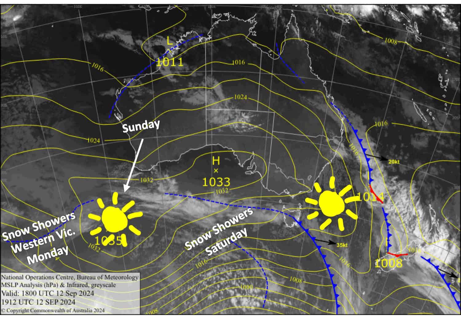
Temperatures will be much more wintry over the next wee while as high pressure digging in to the west has opened the freezer door and will allow cooler airmasses to reach the Aussie Alps. We’ve got a hard frost this Friday morning, and on Saturday a strong, cold southerly change will bring a dusting of snow. It’ll remain cold but clear on Sunday and snow showers will turn up again in Western Victoria on Monday.
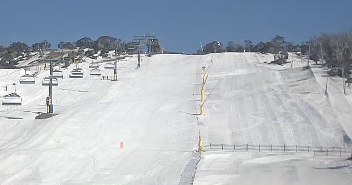
Unfortunately, a lack of snow forced Thredbo to close for the season on Wednesday. Today, Friday, will be Falls Creek’s last day, and Charlotte Pass will close on Sunday. That’ll leave Perisher to go it alone for at least another couple of weeks, which could be quite good as extended forecasts show potential for more snow.

Friday September 13th
A nice, sunny day with a light southwest breeze.
Saturday September 14th
Snow showers spread over Victoria during the morning and New South Wales around midday as southwest winds turn to a colder, stronger southerly.
The snow clears in the evening, leaving around 3-6cm in most areas, but up to 10-15cm could accumulate around Mt Baw Baw and other exposed terrain.
Sunday September 15th
Any morning cloud will clear for a fine day as strong, cold southerlies start to ease.
Monday September 16th
Strong southwest winds spread clouds eastwards in the morning, with snow showers in western Victoria and possibly one or two light ones showing up elsewhere.
Extended Forecast
Next week, models have consistently picked a top-up of snow around late Wednesday into early Thursday as a cold front goes through. A stronger system could deliver more snow next weekend, but we’ll have to wait a bit closer to the time before making any big calls.
That’s all from me today, folks. The next forecast is Monday. See you then, and have a great weekend.
Grasshopper


