Australian Weekend Forecast,Friday August 7th – Major Storm to Bring Washout Sunday, then a Solid Reload Next Week
Mountainwatch | The Grasshopper
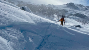
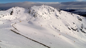
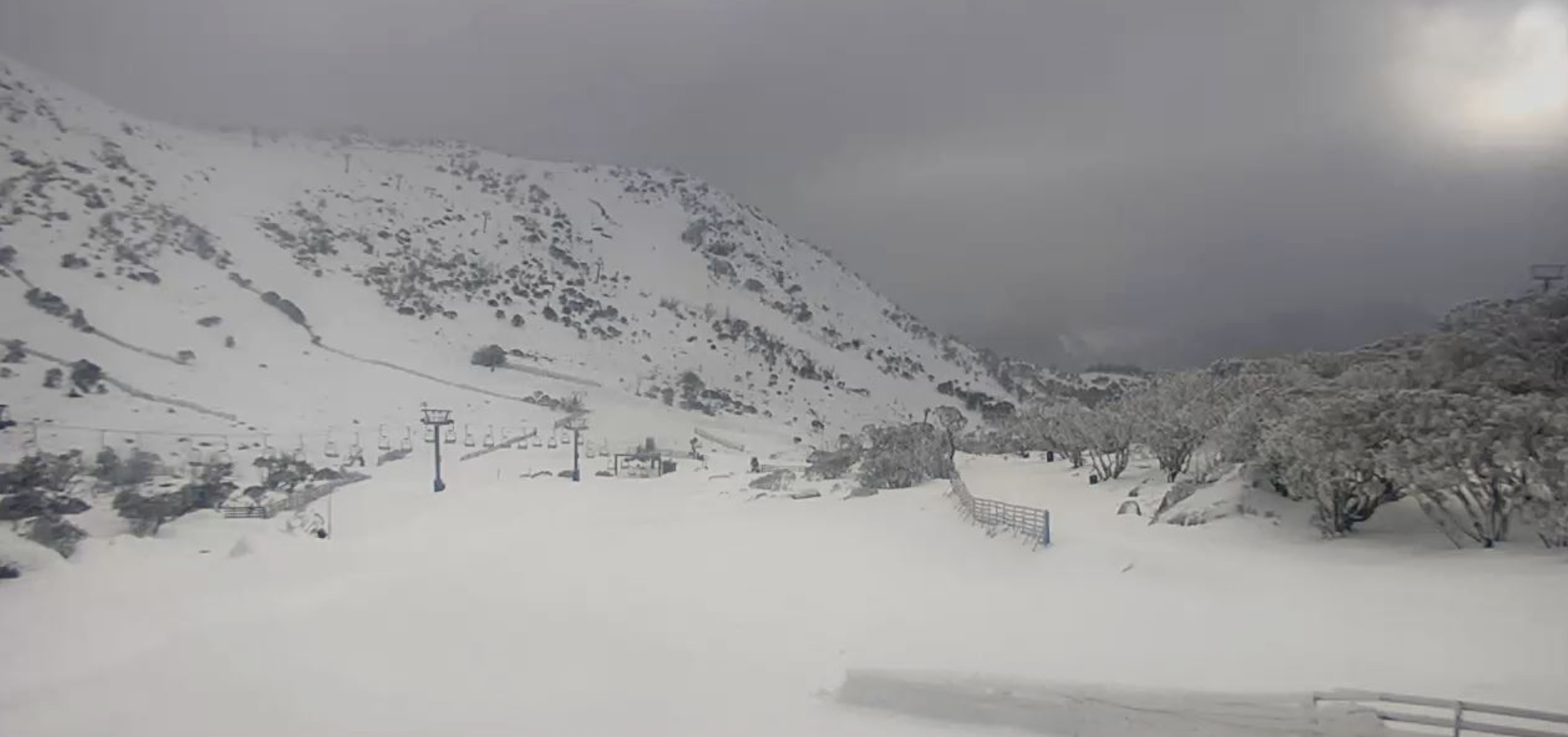
The resorts are looking fantastic after scoring 10-20cm of fresh powder, backed up by great snowmaking conditions, thanks to chilly, breezy winds that brought light but consistent snowfall from Monday through Wednesday.
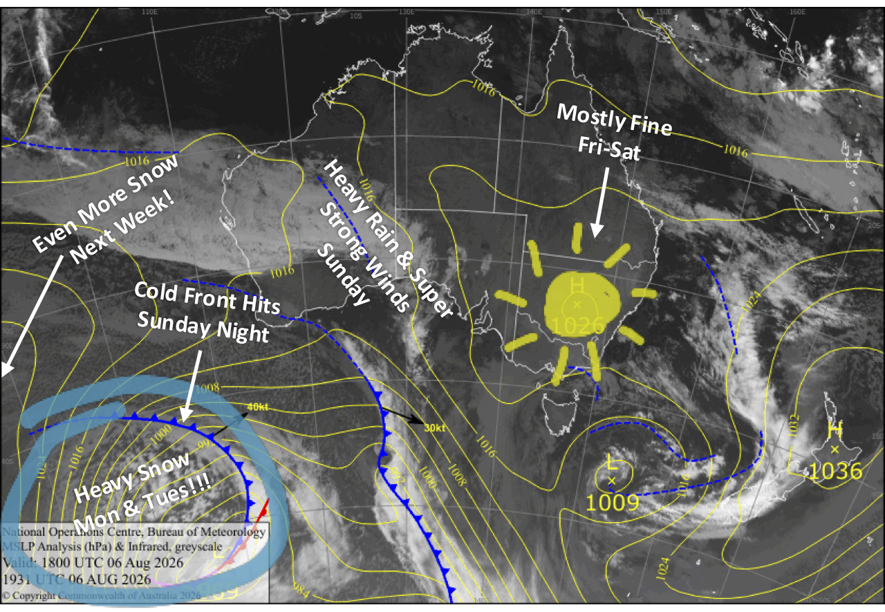
We’ll have great conditions on Friday and Saturday as a high-pressure system swings past, bringing mostly settled, sunny skies, apart from some cloudy, foggy mornings in Victoria. Make the most of it, because all hell breaks loose on Sunday as one of the most powerful storms of the season barrels in.
While the storm begins as a washout below the highest peaks, a sharp cold change overnight Sunday will send snow levels plummeting to the base, kicking off several days of heavy snow and fresh refills that could seriously boost the snowpack.
I’m expecting around 15-35cm on both Monday and Tuesday, totalling 30-70cm over the two days. The wide range accounts for both the difference between lower and upper elevations, where snow levels will be marginal down low at times, and the fact that the models still aren’t in complete agreement. The latest run of our very own MountainWatch model is now reading the situation well, after earlier runs went overboard by turning too much of Sunday’s rain into snow as it expected lower snow levels.
Friday 7th August
Clouds gradually clear New South Wales during the morning as the westerly breeze dies, leaving a calm, sun-filled afternoon. There’ll be low cloud in Victoria clagging up the resorts with drizzly, foggy conditions, but it’ll gradually break up and clear in the afternoon as brisk westerly winds ease. Cold snowmaking temps overnight, particularly in New South Wales.
Saturday 8th August
A mint, sunny day for New South Wales with light northerly breezes. Victoria may start with low cloud fogging up the resorts, but that’ll clear before high cloud builds in the afternoon as northerly winds pick up.
Sunday 9th August
It’s going to be a super rough day as a powerful storm barrels in, with heavy rain and severe-gale north-to-northwest winds developing during the morning, so expect limited lift operations. The highest terrain above about 1900m may see some snow during the day, but below that it’ll be a washout.
The worst of the wind and rain arrives after dark before a sharp cold change sweeps through overnight, sending snow levels tumbling to the base levels and turning the rain to heavy snow.
Monday 10th August
Gale to severe-gale west-to-northwesterlies will again hamper lift operations as snow continues throughout the day, providing fresh refills, before a surge of milder air turns it to rain in Victoria during the afternoon and New South Wales in the evening. Precipitation eases overnight as it turns back to snow.
Tuesday 11th August
Another snow day with strong to gale-force northwest winds. Snow builds through the day, but it may turn wet down low before a cold front whips through overnight, bringing a burst of heavy snowfall back to base levels.
Extended Forecast
We’ll continue to pile on the snow during Wednesday and Thursday, the 12th and 13th of August, as another one or two cold fronts cross, with some lighter falls also possible on Friday and Saturday the 14th and 15th. However, snow levels will continue to dink and dive, so there’ll be some low-level rain in the mix. Conditions will be all-time for several days afterwards, as high pressure moves in for a run of settled, fine days.
That’s all from me today, folks. I’m firing out these forecasts every Monday, Wednesday and Friday throughout the season, and an extra update on Sundays during peak season. Have a great couple of days, and I’ll see you back here on Sunday.
Grasshopper