Grasshopper’s Weekly Japan Forecast, January 2nd, 2025 – Powder Tap Dries Up this Weekend, First Pacific Low of the Season Hits Early Next Week
Mountainwatch | The Grasshopper
Written Thursday morning, 2nd January (Japan Standard Time)
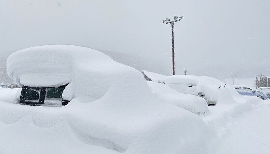
The Powder Tap will finally, but temporarily, turn off this weekend, and central Honshu, in particular, is lined up for a sunny powder day on Sunday.
The break will be short-lived, however, as the first Pacific low of the season is set to swing by on Tuesday. The low will bring warm winds and heavy rain to elevated levels on Honshu, while eastern parts of Hokkaido score a rare dump of powder.
The Powder Tap will turn back on during Wednesday as cold winds return, with Central Honshu once again lined up for another heavy load of high-quality powder.

Thursday January 2nd & Friday January 3rd
Central Honshu will receive fairly consistent snowfall during this period as a few weak pressure toughs build near the coast before sliding down over the region. Snowfall rates will mainly fluctuate between light and moderate with the passing of each trough. However, the load won’t be evenly spread as resorts nearer the coast will be closer to the action, and westerly winds will cause some resorts to be more sheltered than others. Temperatures will also be on the warmer side to start, with wet and slushy conditions affecting low elevations until cooler air arrives late Thursday.
Meanwhile, Northern Honshu and Hokkaido will remain ensconced in a cold northwesterly flow. Resorts there will continue to see light-moderate snow showers, which may become fewer and farther between for some on Friday.

Saturday January 4th & Sunday January 5th
The weekend will start on a good note thanks to a cold northwest flow across the country, bringing light-moderate rates of high-quality snowfall to most resorts. Skies will then gradually clear over Central Honshu through the latter half of Saturday as high pressure pushes in from the west.
Snowfall will also eventually dry up over northern Honshu Saturday night and Hokkaido on Sunday as a warmer southwest flow spreads over Japan ahead of a storm system that enters and approaches from the Sea of Japan. By late Sunday, the storm will have arrived in northern Honshu and Hokkaido, with strong southwesterlies pushing in moderate-heavy snowfall of lesser quality, with wet, slushy conditions down low.

Monday January 6th to Wednesday January 8th
On Monday, the storm centre passes over Hokkaido early, leaving cooler temperatures while skies eventually dry up and clear.
On Honshu, moderate-heavy snowfall over the north will spread to the rest of the island late Monday into early Tuesday as the first Pacific low of the season swings by. Warm south-southwest winds will see heavy rain falling on mid and even upper slopes, while cold northeasterly winds will bring moderate-heavy snowfall to eastern parts of Hokkaido. Precipitation will ease over Japan as the low peels away later on Tuesday, and temperatures will start to cool over Honshu.

On Wednesday, a cold northwesterly flow over Japan will bring moderate-heavy falls of high-quality snow to Central Honshu throughout the day and lighter, sparser snowfall to Northern Honshu and Hokkaido.
That’s all from me today, folks. Have a great week, and I’ll see you here next Thursday for another weekly rundown of Japan’s highlights and snowlights.
Grasshopper


