Grasshopper’s Weekly Japan Forecast, Thursday Feb 22 – Goodbye Rain, Hello Snow!
Mountainwatch | The Grasshopper
Written Thursday morning 22nd February (Japan Standard Time)
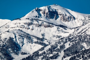
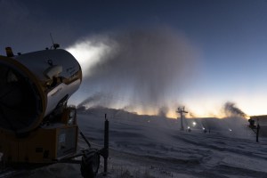
Well the rain that set in over Honshu during Monday is finally turning to snow as we speak. Cold northerlies will blow in about 10-30cm for many resorts throughout Japan today through Saturday and should go some way into repairing any damage the rain has caused and give the slopes a nice fluff-up.
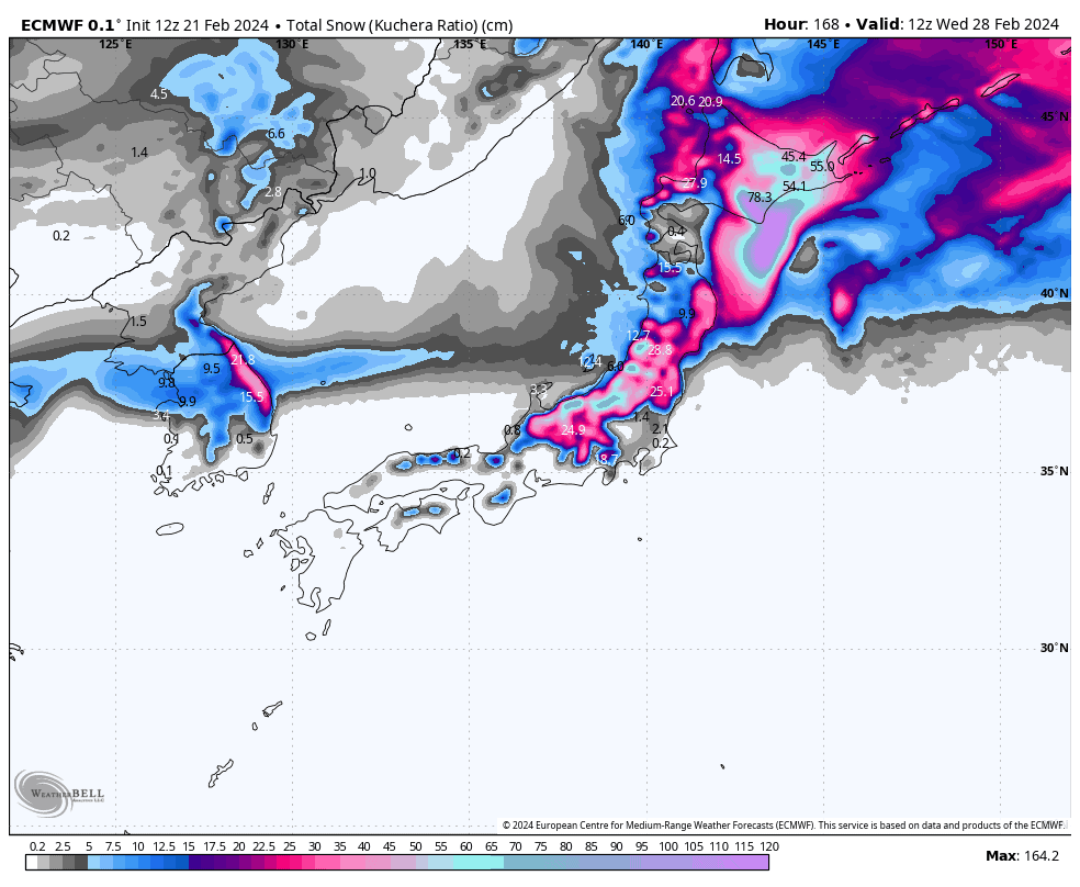
It’ll be the first of two events that we’ll see during the next seven-day period. The second will feature another low passing by Japan on the Pacific side and will bring snow to central and the southern half of Northern Honshu from Sunday into Wednesday. Accumulations will be getting up around the 25-50cm mark there, while the northern half of Northern Honshu, as well as western Hokkaido, will just see a dusting. The eastern side of Hokkaido will cop a rare dump, with totals ranging up to around the half a metre mark there also.
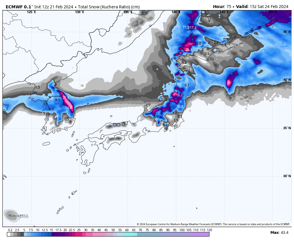
Thursday Feb 22nd to Saturday Feb 24th
A trough of low pressure lies stretched out just off the Pacific Coast of central-southern Honshu and the associated warm rain-band, which arrived on Monday, is now thankfully skulking off to the south as colder winds from the north arrive.
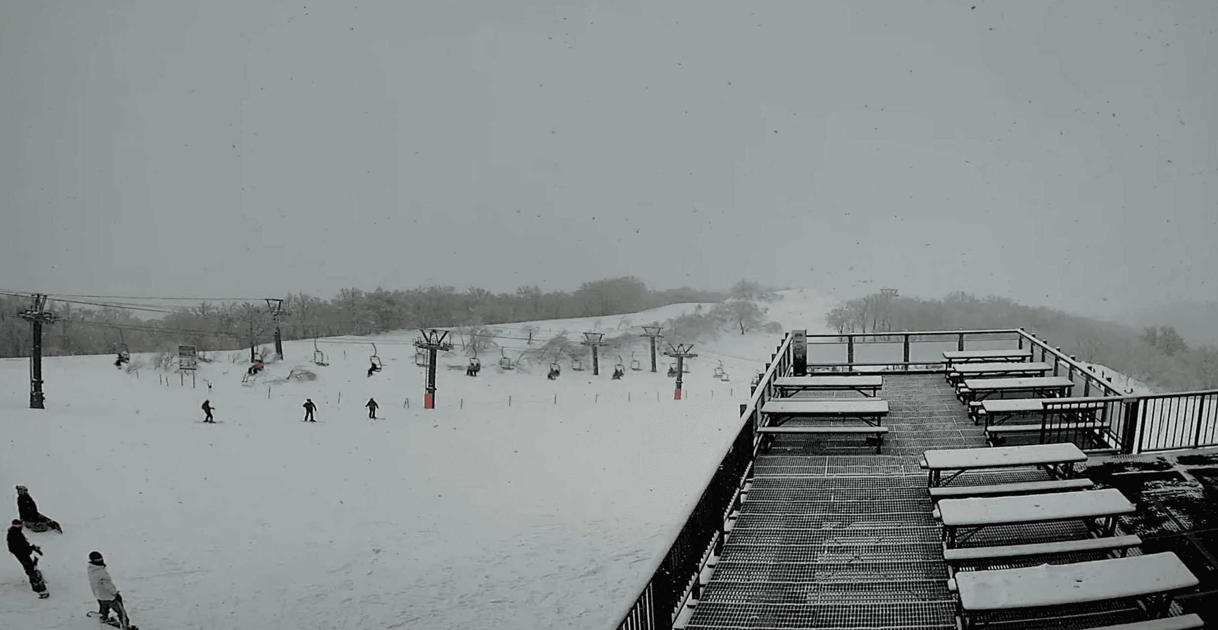
At the time of writing, this cold front is just hitting central Honshu, so rain is turning to snow there as we speak. There’ll be moderate snowfall over Central and the southern half of Northern Honshu this morning, before easing to the odd flurry this afternoon. Snowfall accumulations here are looking to be in the 5-15cm range, which should repair at least some of the rain damage and add a fluffier layer to the slopes.
Another bulge in the low-pressure trough to the south during Friday will see the cold N-NW winds slightly pick over those same areas, bringing another surge in snowfalls, which will mostly be light, but of high quality. These will peter out late Friday into early Saturday as a ridge high pressure starts to move in, clearing skies up for a sunny Saturday session.
Further north, cold NW will bring light snow showers to the northern half of Northern Honshu and Hokkaido throughout this period. The snow showers will be more consistent about western parts of Hokkaido, where about 15-30cm should quietly stack up. Snow showers will be much less frequent elsewhere, with 5-7cm or less expected, although up to 15cm should accumulate in the Aomori Prefecture, and there’ll be plenty of fine spells thrown into the mix.
Sunday Feb 25th to Wednesday Feb 28th
The ridge of high-pressure drifts northwards over northern Honshu and Hokkaido during Sunday, clearing up any lingering snow showers there and bringing a little sunshine and vitamin D.
Down south, another low will zip out of the west, and pass by Honshu during Sunday and Monday, before lingering off Hokkaido for a time Tuesday into Wednesday.
So, snow will start falling over Central Honshu Sunday morning, coming from a SE direction, and gradually build through the day and early Monday. Snow levels should stay reasonably low during this time, thankfully, as the boundary between the cold and warm air will sit right overhead, but we can still expect it to be a little wet and sleety at base levels.
As the low moves further away from Central Honshu, cold northerlies start to arrive during the latter half of Monday and snow levels will hit rock bottom with a noticeable improvement in snow quality. Moderate snowfalls will persist through Tuesday before gradually easing Wednesday, leaving behind what could be some of the best conditions in a long time and something in the ball park of 25-50cm for the major resorts.
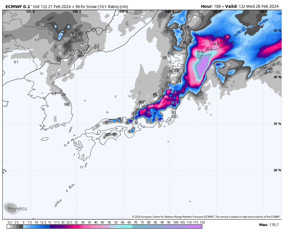
It’ll be a similar story for Northern Honshu, except everything will be delayed by about half a day. And when the cold air hits late Monday, the ensuing snow showers won’t be as prolific, especially over the northern half where a more northerly wind direction will see some sheltering happening. As such the southern half will see similar totals to Central Honshu, or perhaps slightly less, tapering off to much less in the north. However, there is much uncertainty around this so it’s worth keeping a closer eye on.
On Hokkaido, things will kick off on Tuesday, but it’ll be the eastern half that see’s the majority of snowfall as that’ll be where it all comes from. Snowfall there will likely be heavy, with just light showers in the west. Furano will likely sit on the cusp of it all and should pick up moderate snowfall. Winds swing more to the N-NW during Wednesday and snowfall clears central and eastern areas, only to show up in northern and western areas in the form of light showers.
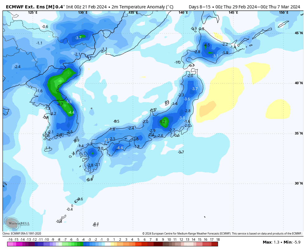
Extended Outlook
Another low zipping out of the west next Thursday or Friday should bring another episode of snow to Japan through the following weekend (2nd & 3rd March) into early the following week. This will be accompanied by nice and cold temps and will keep that snow season-feeling alive.
That’s all from me today. Have a great week, see you next Thursday.
Grasshopper