Grasshopper’s Weekly North America Forecast, March 5 – Another Massive Week As The Endless Snowstorm Cycle Continues
Mountainwatch | The Grasshopper
Valid Thursday 5thMarch to Thursday 12thMarch
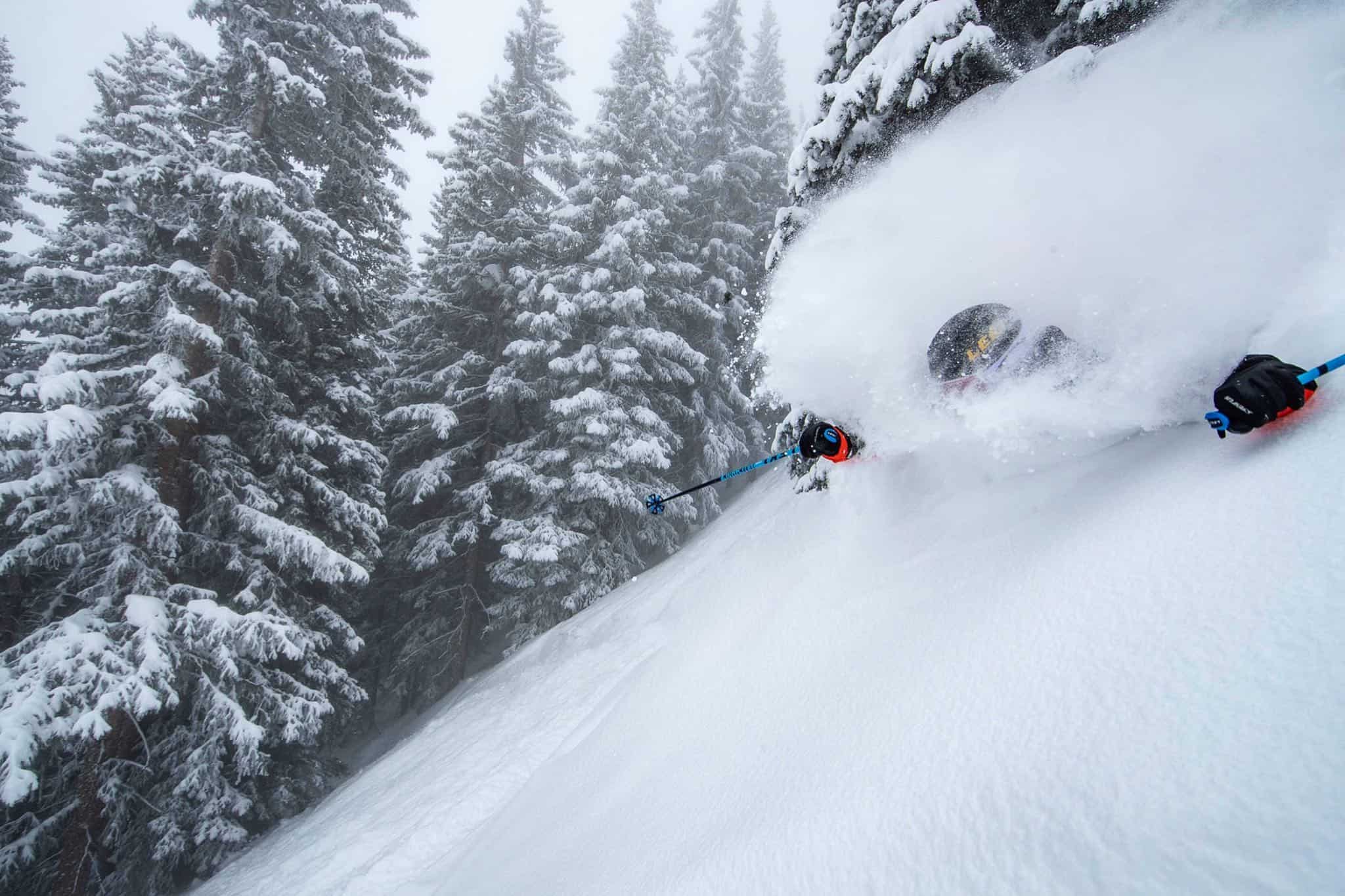
Just when we thought North America already had enough snow to sink a battle ship, we’re in for another massive week of fresh, deep powder.We can quite comfortably break this week’s forecast into two. Thursday through Sunday will see snowfalls falter for a time as they sweep down the length of the North American Cordillera, with all areas receiving a nice top up.
Monday to next Thursday will see a low pass over the southern States, erasing all memory of the recent Big Dry in the Sierras, and also giving Utah, Colorado and New Mexico more than just a nice top-up. Meanwhile, fronts streaming across the north could dump half a metre or more of powder – enough to at least sink waist deep in.
Thursday, March 5 – Sunday, March 8
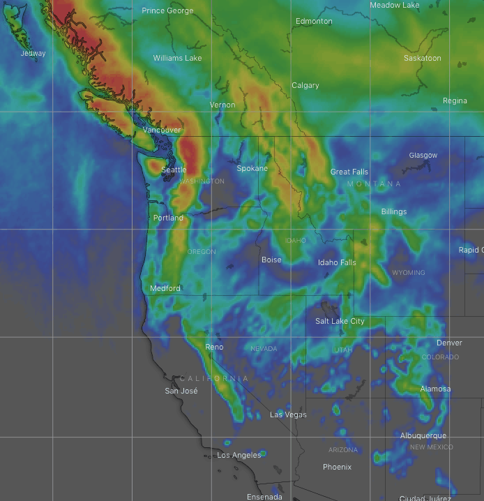
A cold front weakens and slows as it scales the Coastal Mountains, Cascades and Canadian Rockies during Thursday and early Friday, with snowfalls following suit.
However, the system will gather steam later on Friday as is it is joined by another push of cold air from the Gulf of Alaska. Snow will spread down through the Sierras and the American Rockies during Saturday before eventually clearing out later on Sunday.
Accumulation of 25-35cm+ can be found in Canada and in the northern Cascades, while 5-15cm should fall throughout the States, although pockets of 20-25cm may fall in northern Idaho and Montana
Monday, March 8 – Thursday, March 12
The snow may not actually entirely clear in the northern Sierras before a low loitering offshore gets things going again during Monday, with more widespread and heavier falls on the cards. Snow will also fall over the northern states of Idaho, Montana and Wyoming in light-moderate amounts.
As the low passes inland over the southern states from late Tuesday into next Thursday, Utah, Colorado and New Mexico will also receive about 10-25cm. The Sierras itself should be left with an extra 10-30cm+.
At the same time Tuesday to next Thursday, a series of fronts will stream across the north, bringing another couple of rounds of snow to the Northwest and Rockies as far south as Wyoming. Snow totals are a bit less certain here, but could in fact be very large, possibly in the realm of 40-50cm+!
That’s all this week guys, see you next Thursday.


