Grasshopper’s Weekly North America Forecast, Thursday Feb 20th – Pineapple Express to Deliver Rain and High-Elevation Snow to the North this Weekend

Mountainwatch | The Grasshopper
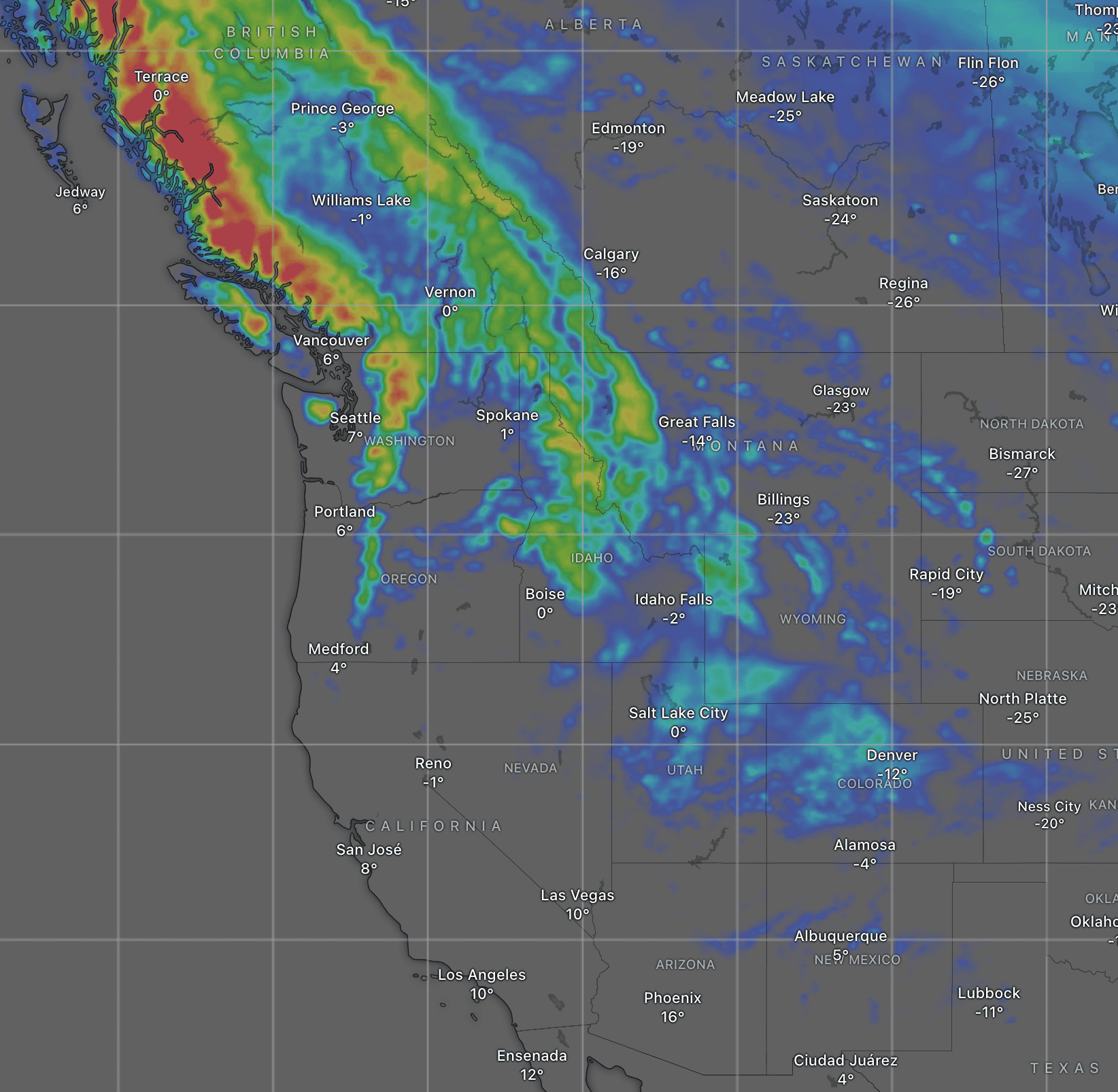
Written Wednesday afternoon, 19th February (Pacific Standard Time)
The last seven days has seen a lot of snow falling across North America as the storm pattern drifted from the south into the north, where it’ll remain for the next several days.
This weekend, however, the Pineapple Express will bring humid air from warmer climes, causing snow levels to skyrocket and bringing rain to high elevations at many resorts. Cooler air will arrive early next week, with snow falling to lower levels briefly before drying up as the storm action retreats into northern Canada.
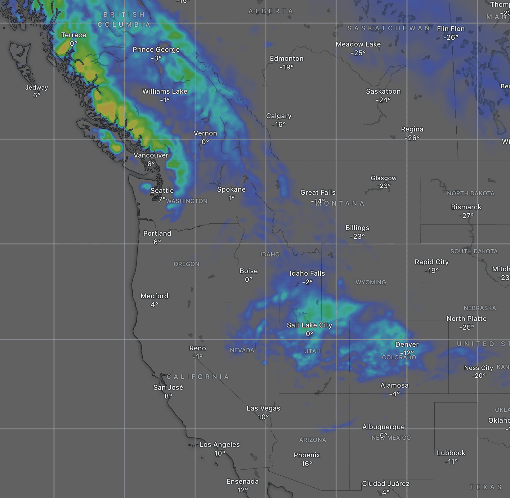
Thursday February 20th & Friday February 21st
The storm affecting Canada and northern U.S. will gradually wind down on Thursday, allowing snowfalls to dry up in most places, with the highest 24hr snow totals likely in Utah and Colorado, while the Rockies to the north receiving a little more snow on top of the previous days. The Canadian Coast Mountains will also receive similar amounts, but won’t dry up completely as the next storm front will roll in off the Pacific before the end of the day.
On Friday, the storm in the Canadian Coast Mountains will spread down into the Cascades and inland to the Rockies as far south and northern Idaho and Montana. Mostly light-to-moderate snowfall is expected, but snow levels will lift, especially near the coast where rain or a mix of precip will likely affect the lower slopes of resorts there.
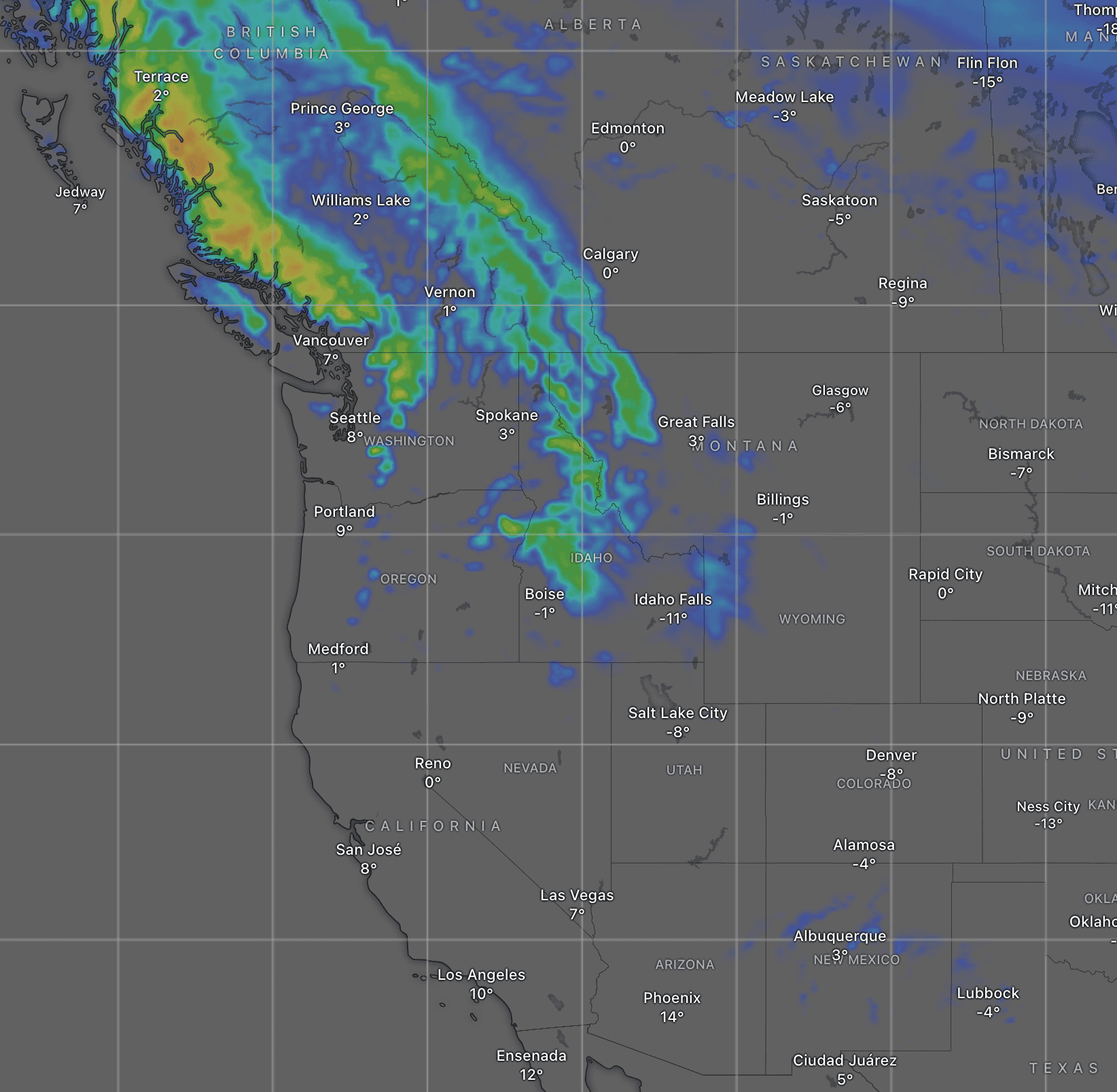
Saturday February 22nd & Sunday February 23rd
The storm will continue over the north this weekend, with precipitation becoming heavy at least for a time, especially near the coast. Unfortunately, snow levels will climb even higher as warmer, moisture-laden air arrives on the Pineapple Express, and rain will affect resorts to high elevations. The pick of the bunch will be somewhere down in the Southern U.S. where high pressure will keep things sunny and dry.
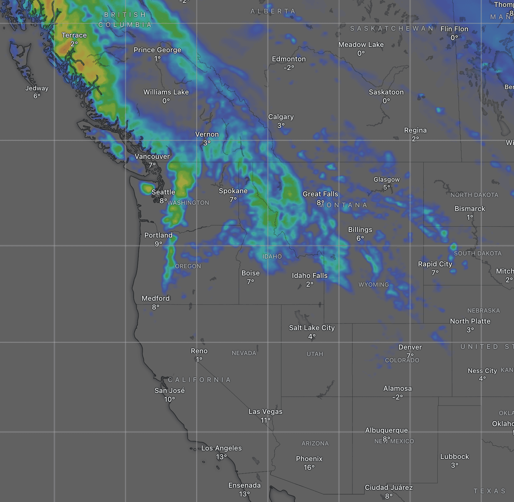
Monday February 24th to Wednesday February 26th
Another push from the Pacific will keep things active over the north through Monday into Tuesday. Fortunately, colder air arrives on the back of this one, and snow levels will drop to near base levels at most resorts. The Cascades will see the heaviest falls and accumulations, followed by the Canadian Coast Mountains northern Idaho, Montana and the Tetons, with Interior BC also receiving a lighter top-up.
On Wednesday, the storm action will retreat further northwards into northern Canada, while the dry, sunny weather in the south spreads northwards over the northern U.S and southern Canada.
That’s all from me today, folks. Have a great week, and I’ll see you back here next Thursday for another weekly rundown of North America’s highlights and snowlights.
Grasshopper


