Grasshopper’s Weekly North America Forecast,Thursday January 9th –Top-Ups for the British Columbia, the Northwest & Rockies Before Another Dry, Settled Spell Next Week
Mountainwatch | The Grasshopper
Written Wednesday afternoon, 8th January (Pacific Standard Time)
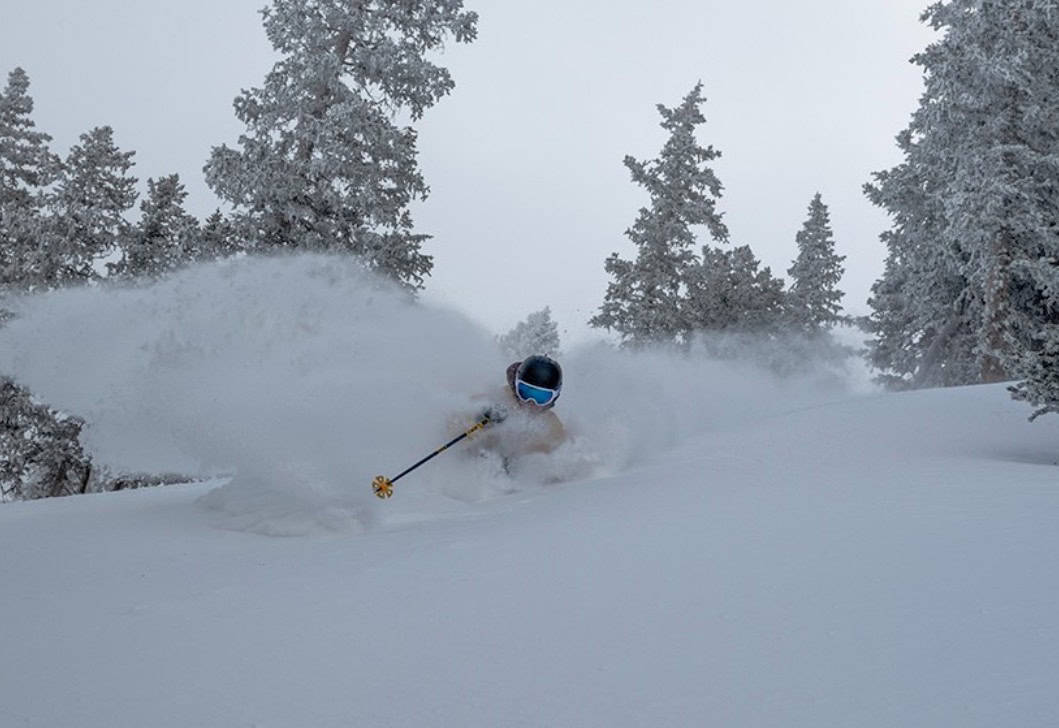
After some good snowfalls in the Rockies early in the week, conditions (some Utah resorts picked up 50cms on Jan 5th) the past two days have been relatively calm for much of North America. That will change over the next 48 hours with snow on the way for the parts of the US Rockies.
British Columbia will also see widespread snowfalls on Friday with light to moderate totals before dry settled weather next week.

Thursday January 9th to Sunday January 12th
On Thursday, cold northerly winds will send snowfall southwards through the U.S. Rockies, from Montana to New Mexico. This will primarily benefit resorts east of the continental divide, with accumulations ranging from a slight dusting up to 10-15cm. However, we could see up to 20-30cm in some southern Colorado and New Mexico mountain ranges.
A stronger storm system will start to slide down from the northwest from Thursday night with potential for good snowfalls for southern British Columbia, favouring Revelstoke and Kicking Horse.
That storm will tracks south and spread through the U.S Rockies to reach Utah and Colorado Friday night before grazing northern New Mexico on Saturday, then drying up on Sunday. Light-moderate accumulations of around 10-30cm are mostly expected, but we could see more significant numbers coming out of Montana and northern Idaho in particular.
Meanwhile, the dry spell will continue for Californian resorts.

Monday January 13th to Wednesday January 15th
High pressure will bring dry, settled conditions to western North America during these three days, with blue skies aplenty. The only snow to speak of is a possible skiff of snow early Monday in the Sierras and a chance the next storm could enter the northwest late Wednesday, but that remains to be seen.

That’s all from me today, folks. Have a great week, and I’ll see you back here next Thursday for another weekly rundown of North America’s highlights and snowlights.
Grasshopper


