Grasshopper’s Japan 2024/25 Snow Season Outlook – December Update
Mountainwatch | The Grasshopper
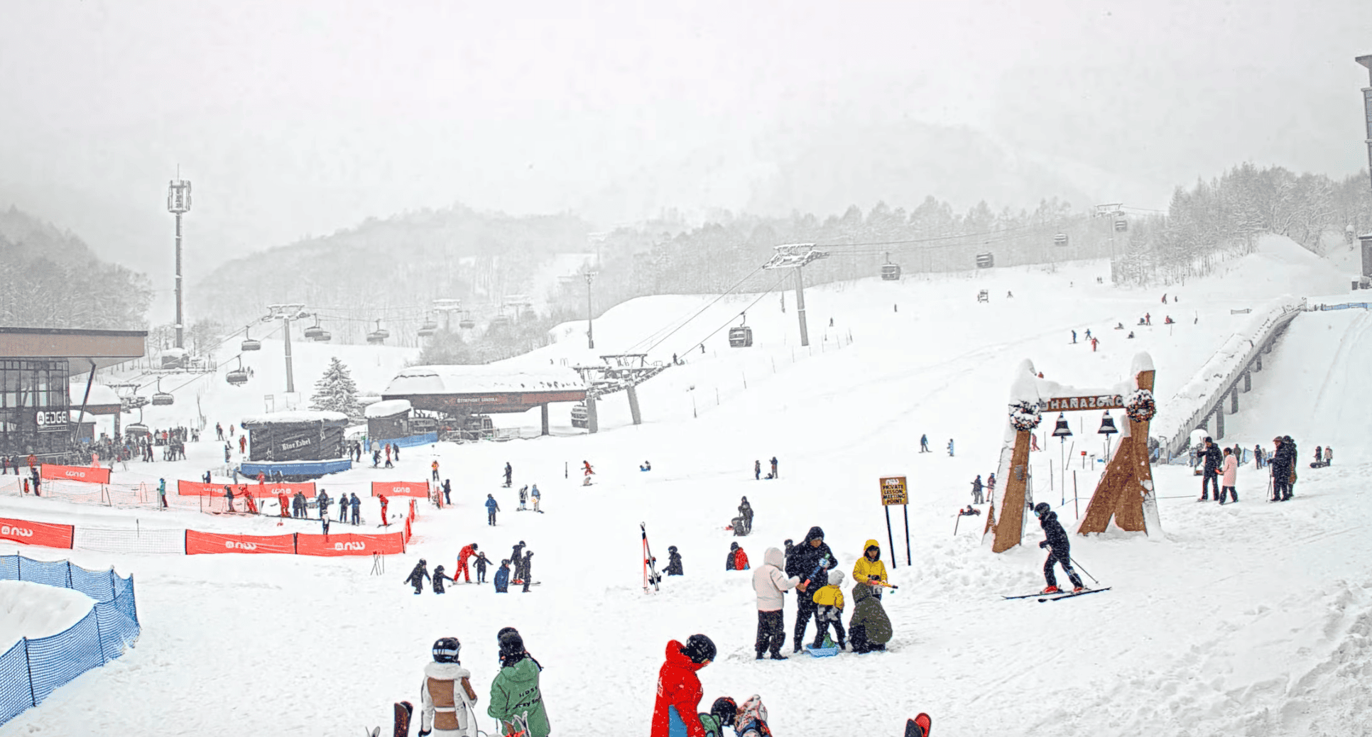
With a few big dumps recently on both Honshu and Hokkaido and with more snow on the way this week, Japan’s winter is well and truly underway. Let’s revisit the state of the climate and whether we can expect the taps to stay on (or get heavier) throughout the season.
ENSO Update
For a brief recap based on the past two monthly updates the most likely scenario my antennae have been picking up is for negative neutral/weak La Nina conditions in the Pacific Ocean through winter. Conditions will returnin into the neutral range as we transition from winter to spring. This is becoming clearer as negative sea surface temperature anomalies in the equatorial Pacific are developing and are being forecasted to hover around the La Nina threshold with increasing confidence.
Currently NOAA has the probability of a La Nina event occurring in December and persisting through winter at 57%. This was initially at 71% in our first outlook and 60% in the last. This decreasing trend is nothing to fear as we were not expecting a strong La Nina event anyway. It illustrates how the most likely outcome now is very close to the thresholds used to declare an event. Currently for January, the Bureau of Meteorology has a 33.3% chance of reaching below their La Nina threshold and a 66.7% chance of remaining within neutral conditions.
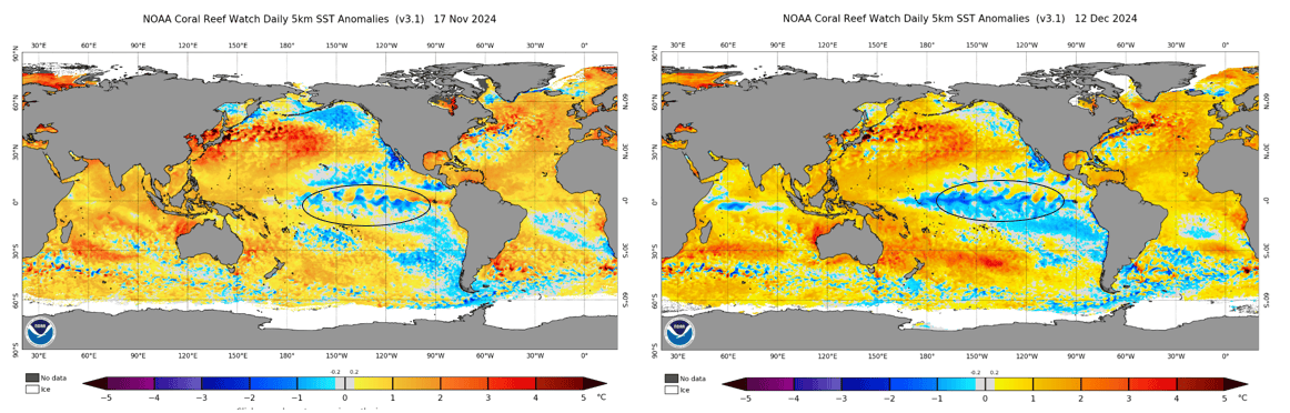
Below we have an updated comparison between the global sea surface temperature anomalies of last month and this month. The most obvious feature is the development of cooler waters in the central/eastern equatorial Pacific, aligning with expectations as the ENSO cycle peaks over the northern hemisphere winter period. The question that remains is whether these waters will cool to enough of an extent to reach the La Nina thresholds.
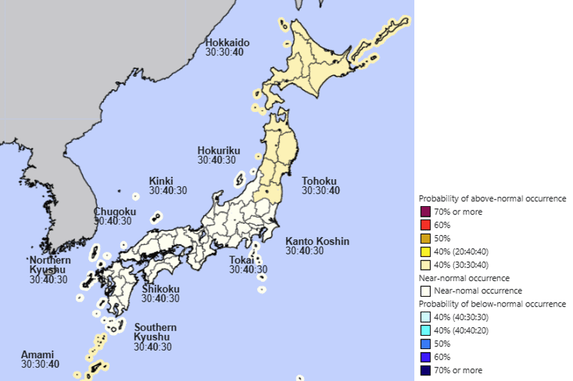
Seasonal Forecasts
The JMA (Japan Meteorological Agency) agrees with the above and its snowfall forecast remains unchanged with equal chances of average and above-average snowfall the most likely outcome. And, as well know, even an average season in Japan provides some of the deepest snow in the world.
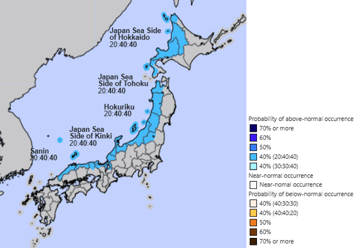
The JMA temperature outlook also appears more neutral with a slight chance of warmer than normal conditions moving to the north in places like Hokkaido and Tohoku most likely through the end of winter into spring.
Other seasonal products from different agencies also show the same trend with slightly more neutral expectations through the winter compared to the last months updates.
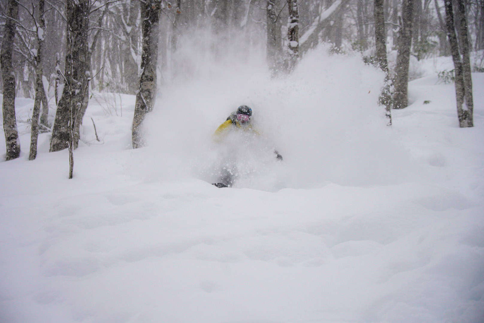
To wrap it up there has already been some deep days in the books this season and although the confidence of a La Nina event may have dropped there should be many more deep days to come yet and stay up to date with my weekly Japan forecasts. I’ll also keep an eye on how the climate develops through the winter but in the meantime if you are lucky enough to be in Japan, get out there and enjoy some start-of-the-season Japow.