Mountain Safety Collective Backcountry Conditions Report – Friday 14 August 2026
Mountainwatch | Mountain Safety Collective
Last weekend’s ‘storm of the season’ turned out to be a fizzer, with temperatures remaining too mild on Sunday night to turn the pre-frontal rain into the much-anticipated snow. By Monday morning, Thredbo had recorded 84mm of rain and Hotham 67mm. If you’re looking for a silver lining, this rain penetrated the snowpack to the ground, eliminating any previous layers of concern and keeping the avalanche risk low.
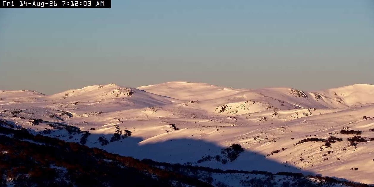
Temperatures did drop below zero degrees through Monday that did result in some light snow falling accompanied by strong to extreme alpine winds and poor visibility that persisted until Wednesday. NSW fared a bit better through the week with consistent top ups of light snow that accumulated to around 20cm deep on lee aspects. The moist snow surface saw a rime ice crust form that was widespread at all elevations in Victoria and more prominent on windward aspects in NSW.
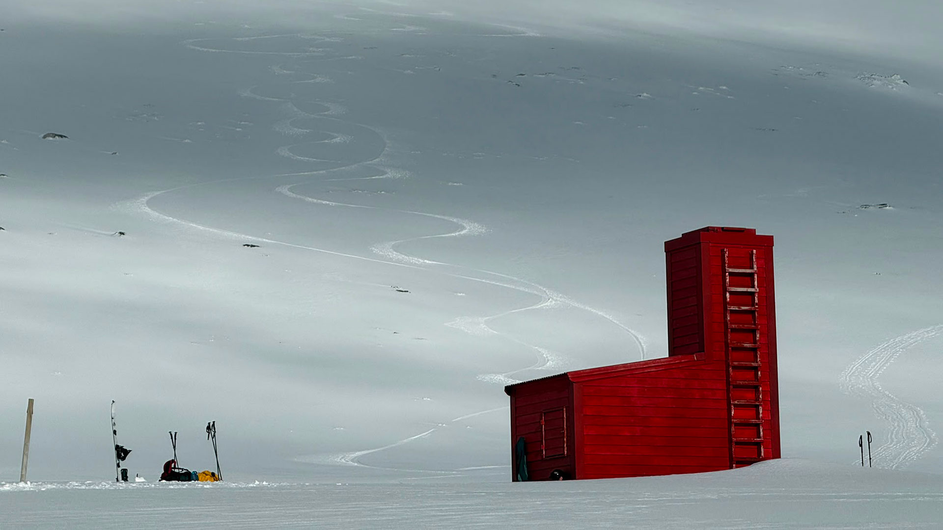
The wind finally backed off on Thursday and we’re set to see very sunny, spring-like conditions persist across the weekend into mid next week. Cold overnight temperatures will refreeze the snow surface overnight through this period, so carry crampons for morning ascents and take care on shaded aspects, but expect to be riding corn snow as solar aspects soften through the day. This will be a perfect opportunity for multi-day tours and snow camping before the next storm system is forecast to arrive on Thursday 20th August.
Make sure you check Mountain Safety Collective’s free, daily Backcountry Conditions Reports for the most up to date information. MSC’s Membership Drive is still running through August with some fantastic prizes being drawn.