Mountain Safety Collective Backcountry Conditions Report – Friday 28 July
Mountainwatch | Mountain Safety Collective
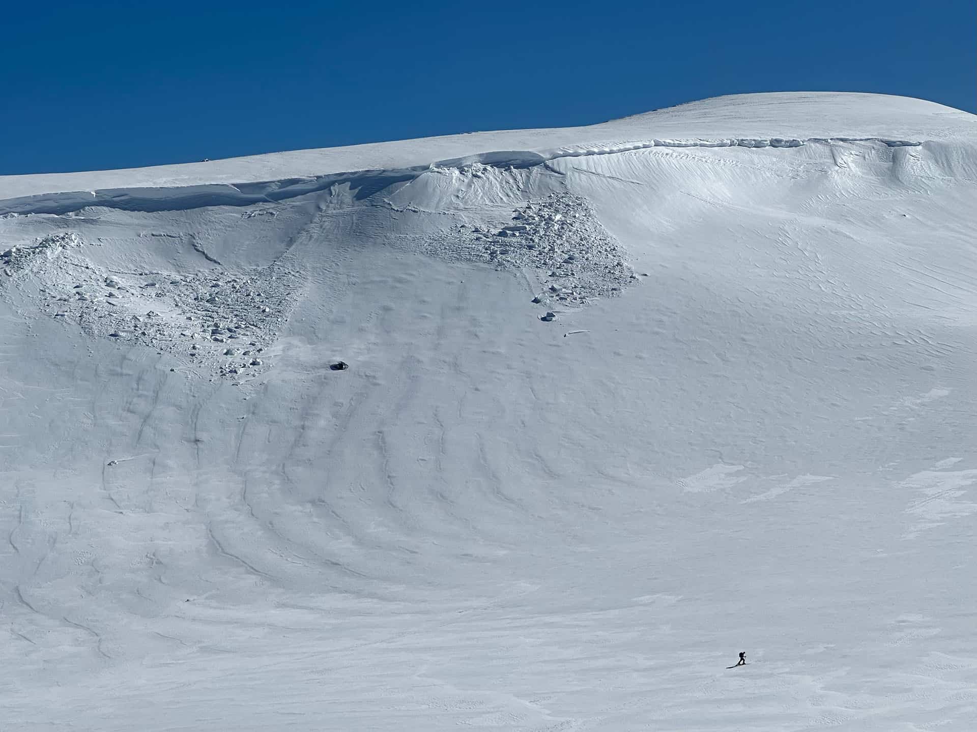
It’s felt like a Groundhog Day for the past few weeks with persistent sunny days and cold nights as high pressure has dominated the mountains. For anyone following along, this has meant the iced-up snowpack hasn’t changed much and backcountry options have been relatively limited.
That’s not to say that there hasn’t been beautiful weather for cruising around on mellow terrain in the sunshine with some sunny slopes softening for pleasant spring-style turns over the past few days.
This weather pattern changed abruptly on Friday morning with an approaching cold front bringing very strong winds and heavy precipitation to alpine regions. Temperatures are forecast to stay relatively mild, with snow only falling at high elevations and rain on the lower slopes. There was a Severe Weather Warning issued on Friday morning by the BOM due to damaging winds.
If you do go out on Friday, be prepared for wet and cold weather and whiteout conditions. The forecasted rain will likely do little in the short term to soften the surface conditions and is already damaging cover on lower slopes. Widespread ice will persist at higher elevations, so be prepared with your crampons and ice axes/whippets for safe travel.
The rain should back off on Saturday, but unsettled weather with strong winds is forecast to stick around until skies clear again mid next week.
As always, pay close attention to any weather warnings and always fill out your trip intention forms for NSW or VIC. If you’re keen for some transceiver training, Mountain Safety Collective have set up Avalanche Training Centres at Hotham and a new one at Thredbo.
For more information on staying safe in the backcountry, visit Mountain Safety Collective.


