Mountain Safety Collective Backcountry Conditions Report – Friday August 26
Mountainwatch | Mountain Safety Collective
A large high pressure that is centred just to the south of Adelaide is the main weather driver throughout the mountains.
Forecasts are in agreement that it will be cool, sunny days with light winds both Friday and Saturday with a new band of precipitation and wind arriving through Sunday.
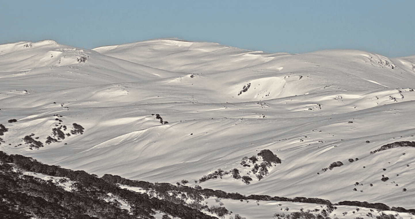
NSW Main Range (Thredbo, Perisher, Guthega, Charlottes Pass, Ramshead Range, Western Faces) – Friday Report
Yesterday’s warm moist surface snow will now be locked up as there was a good refreeze overnight. Expect to find icy conditions first thing, particularly at lower elevations and on solar aspects. Crampons will be handy for safe travel if travelling on steep icy slopes early in the day.
In the alpine above 1900m there is widespread wind effect with catchy (“slabby”) feeling snow, sastrugi and isolated riming on wind stripped ridges. Wind slabs in the alpine remain a concern and there is a MODERATE AVALANCHE DANGER. The majority of the windslabs seen/reported have been isolated to steep easterly features.
The second concern is loose wet avalanches on solar aspects. With a forecast of mainly clear sky, the solar input will be strong on steep solar aspects. Watch for pin balling, that often starts near rocks warmed by the sun as an early indicator of this instability and if the surface snow loses too much cohesion, avoid gullies and other confined terrain features. Read the full report »

VIC Dividing Range (Hotham, Falls Creek, Bogong, Fainters, Feathertop) – Friday Report
Low avalanche danger in the alpine and the subalpine due to warming temps. A crust has formed on the surface due to warming/UV and the freezing level dropping overnight. This will likely soften and turn to corn on solar aspects during the day with UV input. There is a possibility that shaded aspects will stay firm all day. Cornice development has been seen, always avoid newly formed unsupported cornices. Good visibility in the subalpine and alpine. Read the full report »

VIC Front Range (Buller, Buffalo, Stirling, Baw Baw) – Friday Report
Low avalanche danger in the alpine and the subalpine due to warming temps. A crust has formed on the surface due to warming/UV and the freezing level dropping overnight. This will likely soften and turn to corn on solar aspects during the day with UV input. There is a possibility that shaded aspects will stay firm all day. Cornice development has been seen, always avoid newly formed unsupported cornices. Good visibility in the subalpine and alpine. Read the full report »

For more information on staying safe in the backcountry, visit Mountain Safety Collective.


