Mountain Safety Collective Backcountry Conditions Report – Friday August 5
Mountainwatch | Mountain Safety Collective
After late July saw a cycle of multiple avalanchesoccur in both the NSW and Victorian backcountry, the first week of August brought biblical rain well beyond the tops of the peaks.
Due to the nature of the storm and the huge volume of rain recorded in NSW, backcountry field observations have been very limited, so Friday is a day to reassess conditions before temperatures fall enough to see some snow fall again through Saturday and Sunday. Take extra caution in the backcountry this weekend until it’s clear what impact this storm cycle has had on the snowpack.
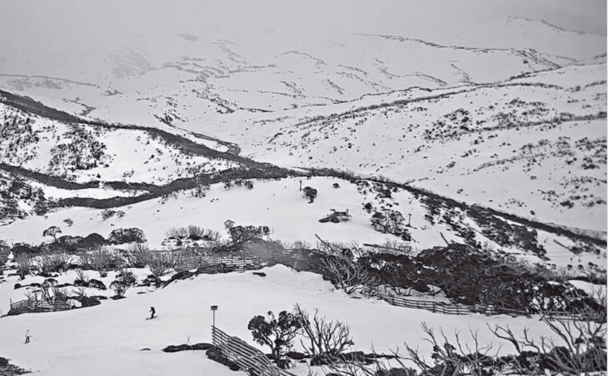
NSW Main Range (Thredbo, Perisher, Guthega, Charlottes Pass, Ramshead Range, Western Faces) – Friday Report
A high degree of uncertainty exists after 48hrs of very heavy rain exceeding 170mm at all elevations in the Main Range. Intermittent showers and strong winds are forecast to continue through Friday creating wet conditions, poor visibility and a high risk of exposure. While some natural avalanches may have already occurred during the storm, the saturated snowpack will remain unstable until cooler temperatures return. Cornice collapse and wet loose avalanches will remain a concern, so give the mountains at least a day or two to stabilise in cooler temperatures before making any bigger plans for backcountry travel. Read the full report »

VIC Dividing Range (Hotham, Falls Creek, Bogong, Fainters, Feathertop) – Friday Report
CONSIDERABLE avalanche danger with continued rain in the late morning and possible snow falling to 1300m. MODERATE avalanche danger in the subalpine with possible shallow cover at lower elevations. Size 1-2 loose wet avalanches are possible. whiteout in the alpine and poor visibility in the subalpine. The snowpack is now saturated on all aspects and elevations. There is a degree of uncertainty due to no one being in the backcountry the last few days, with a total of 66mm of rain recorded until the telemetry failed recording. Stay safe, warm and out of big terrain until the snowpack has settled. Read the full report »

VIC Front Range (Buller, Buffalo, Stirling, Baw Baw) – Friday Report
CONSIDERABLE avalanche danger in the alpine with continued rain in the late morning and possible snow falling to 1300m. MODERATE avalanche danger with Possible shallow cover at lower elevations. Size 1-2 loose wet avalanches are possible with continued rainfall. whiteout in the alpine and poor visibility in the subalpine. The snowpack is now saturated on all aspects and elevations. There is a degree of uncertainty due to no one being in the backcountry the last few days, with over 50mm of rain recorded. Stay safe, warm and out of big terrain until the snowpack has settled. Read the full report »

For more information on staying safe in the backcountry, visit Mountain Safety Collective.


