Mountain Safety Collective Backcountry Conditions Report – Friday September 6th 2024
Mountainwatch |Mountain Safety Collective
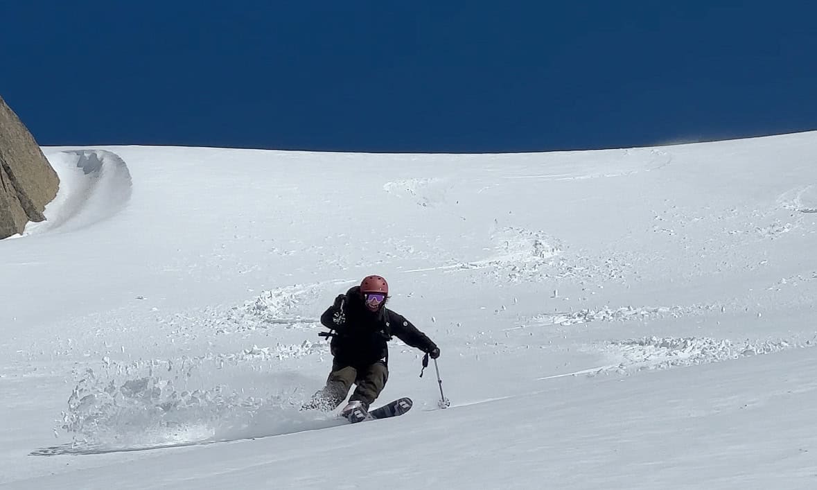
It’s been a rough few weeks in the mountains with the Bureau of Meteorology issuing ten consecutive days of Severe Weather Warnings for extreme winds until last Monday. The silver lining was a small top up of snow earlier this week which saw 10-25cm of wind loaded snow in the alpine providing a couple of nice days for turns before the wind returned with gusto on Thursday.
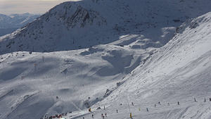
August’s record-breaking temperatures have decimated the snowpack at lower elevations leaving no viable snow in the backcountry below 1800m. This is particularly pronounced in Victoria’s lower ranges with any backcountry touring now limited to strips of remaining cover on shaded aspects.
The story is more positive in NSW, and while trailhead access from Dead Horse Gap and Guthega is now a bushwalk to the snow line, higher alpine snow cover has been much more resilient above 1900m. This deeper cover has been locked up in an icy crust for the past couple of weeks, protecting the deeper snowpack from melting off too quickly and there were reports of fun turns to be had as the ice crust softened to corn snow in the sun on Tuesday and Wednesday.
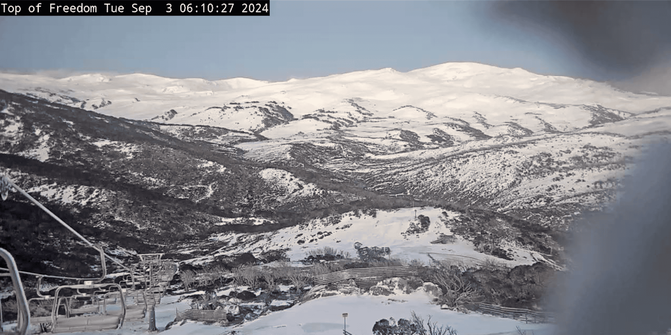
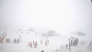
As we move into the weekend, Friday’s extreme winds will see access to the alpine limited to sheltered easterly slopes that will see the snow surface soften quickly in the morning sun and warm temperatures. A cold front will push through on Friday afternoon accompanied by increasing cloud cover and rain on Friday night into Saturday morning. At the lower end of the forecast we will see 10-15mm of rain across the mountains, with the BOM forecasting this could go as high as 40mm. While the winds back off a bit on Saturday, another precipitation bearing front accompanied by extreme winds will arrive on Sunday with light snow hopefully falling above 1900m. If you’re planning any backcountry adventures this weekend, pay close attention to the weather forecast and prepare accordingly.
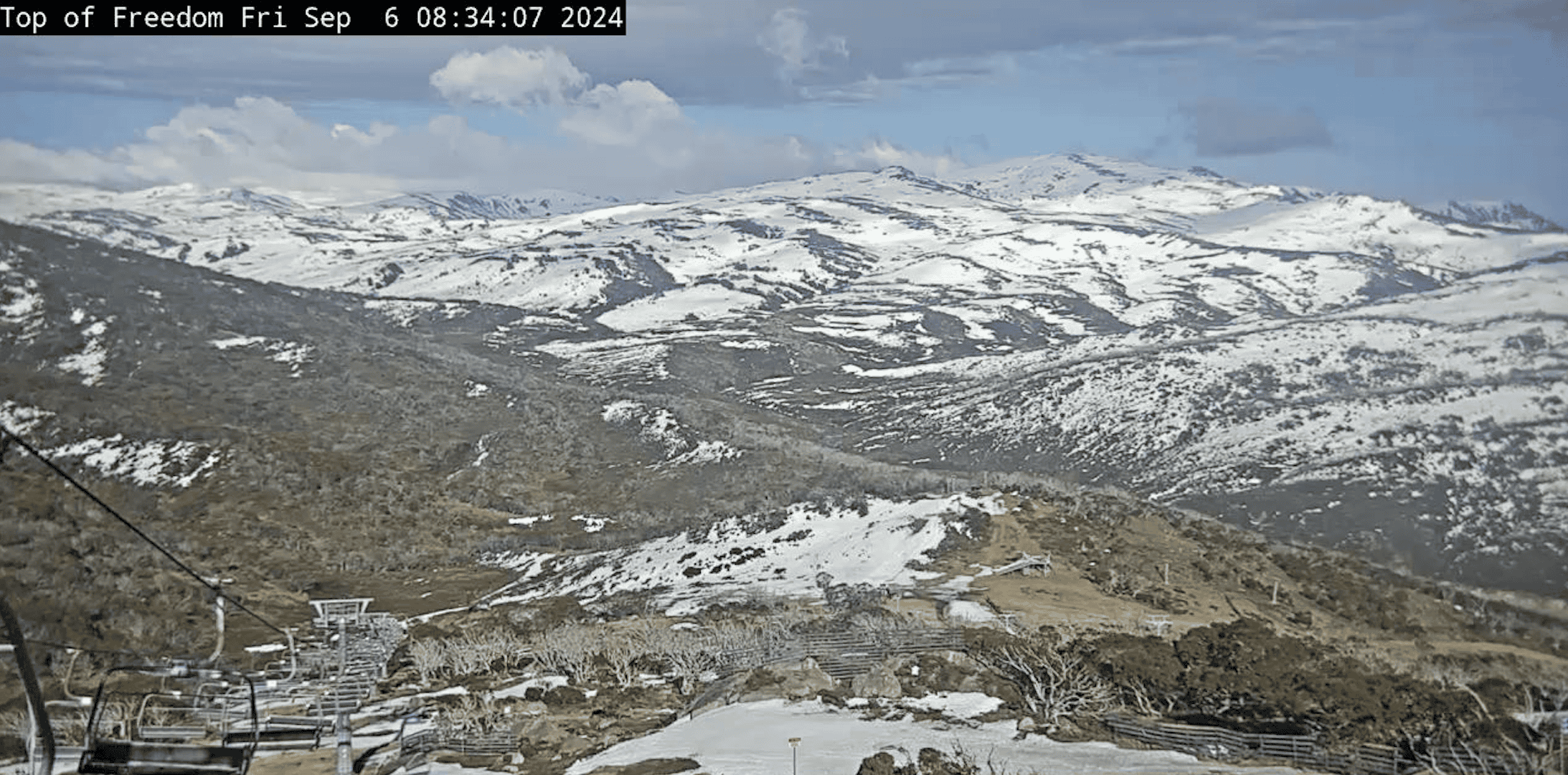
With the longer-range forecast indicating very mild temperatures through to mid-September, Mountain Safety Collective’s daily backcountry conditions reports will soon move into Spring Conditions mode. This will see a generic report in place with advice for common spring time hazards, with specific daily reports only posted if there’s a major snow event before the October long weekend.
This will be the final weekly backcountry summary on Mountainwatch for the season, so thanks for tuning in! You can keep up to date with backcountry conditions for the remainder of the season by visiting Mountain Safety Collective.
