New Zealand Forecast,July 7th – Settled Down South, But Rough On Ruapehu As Northerlies Return
Written early Friday 7thJuly, valid to Sunday 9thJuly
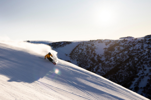
The strong cold, wintry SW flow has finally ease over NZ with the Southern Lakes picking up some much needed snowfall. For the most part, it was just a dusting, although the Remarkables picked up at least a boot full (but are reporting a 7-day total of 67cm?!)
However, the subsequent cold temperatures have allowed the snow machines to pile it on the main runs, and now all the major resorts are back up and running, including Treble Cone.
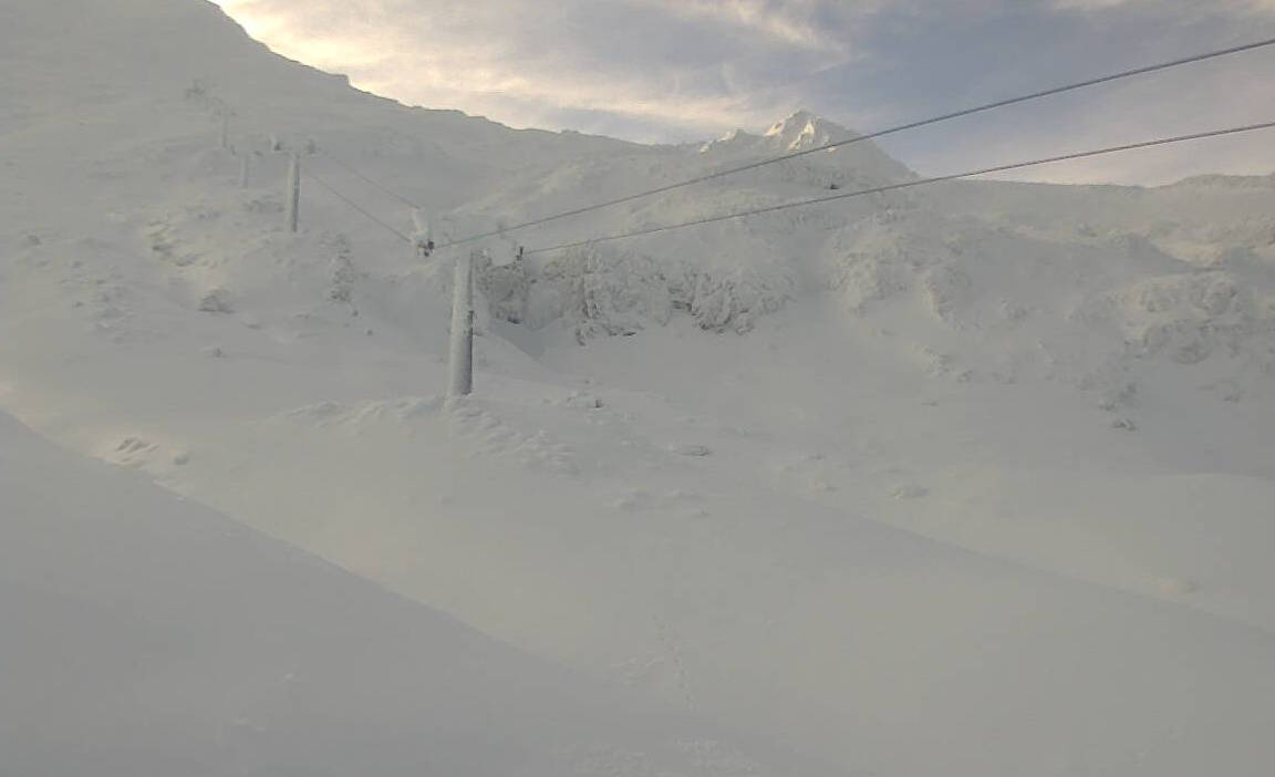
However, the big success story has been the resorts perched on Mt Ruapehu on the North Island, which, until a week ago, were as bald as a baby. But after 25-55cm on its lower slopes and 50-83cm up top, Whakapapa and Turoa are now back in business. They’ve had a tough few years, but now there is snow on the ground and the chairs are turning. So from here on in, I’ll chuck Mt Ruapehu into the forecast, because if you happen to catch it on a good day, you’re in for a treat as the mountain boasts NZ highest resorts and biggest vertical decent, along with amazing and varied terrain.
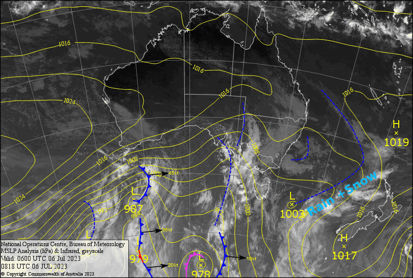
The next few days will bring a northerly flow over the country, with a front passing over from the NW spinning up into a low as it crosses the North Island. Ruapehu will see a bit of everything from sunshine, to heavy rain and strong winds, to snow to at least mid-mountain – pretty typical stuff there.
Down south, the Southern Lakes will be settled with a light shower or two thrown into a mix of sunshine and cloud, while similar conditions in Canterbury will make way for snow to at least mid-mountain, or possibly lower, during Sunday.
Friday 7th
A bit of mid-high level cloud for South Island resorts, but there’ll also be plenty of sunshine, especially in Canterbury. There could also be a light shower or two over the Southern Lakes during the evening. Northerly breezes.
Mt Ruapehu will start out nice and fine, but cloud will then build with a few light drizzly showers on the north side during the afternoon. Widespread rain at night, falling as snow up high. Northerly winds strengthening, reaching gale force in the evening.
Saturday 8th
Partly cloudy for the Southern Lakes, with early light scattered showers most likely only reaching Treble Cone, falling as snow to mid slopes. Northerly breezes.
A fine morning for Canterbury, then cloud and light showers will move in during the arvo, falling as snow up high. NE breezes.
Heavy rain on Ruapehu, falling as snow to mid mountain, easing morning and clearing afternoon as gale NE winds ease to a lighter easterly.
Sunday 9th
Partly sunny & cloudy for the Southern Lakes with a light northerly breeze. Treble Cone may also see a light shower of snow/rain. Super light N-NE breezes.
Mostly light snowfalls spreading throughout Canterbury during the morning, although Mt Hutt could see moderate falls as times. Also, temps will be marginal at base levels where it could be a little wet/sleety. NE breezes with plenty of cloud clag reducing the vis.
Showers develop over Ruapehu during the morning, turning to rain in the afternoon with snow lowering to around 1700m as SE winds turn to a strong southerly.
Extended Forecast
Next week a strong westerly flow builds over the country on the heels of the low moving east of the North Island. We should see some good snowfalls during Wednesday and Thursday as a low passing to the south brings a brief period of colder southerly winds.
That’s all from me today, folks. See you again Monday.
Grasshopper